تصدیق درکار ہےنمایاں
Fairy Meadows
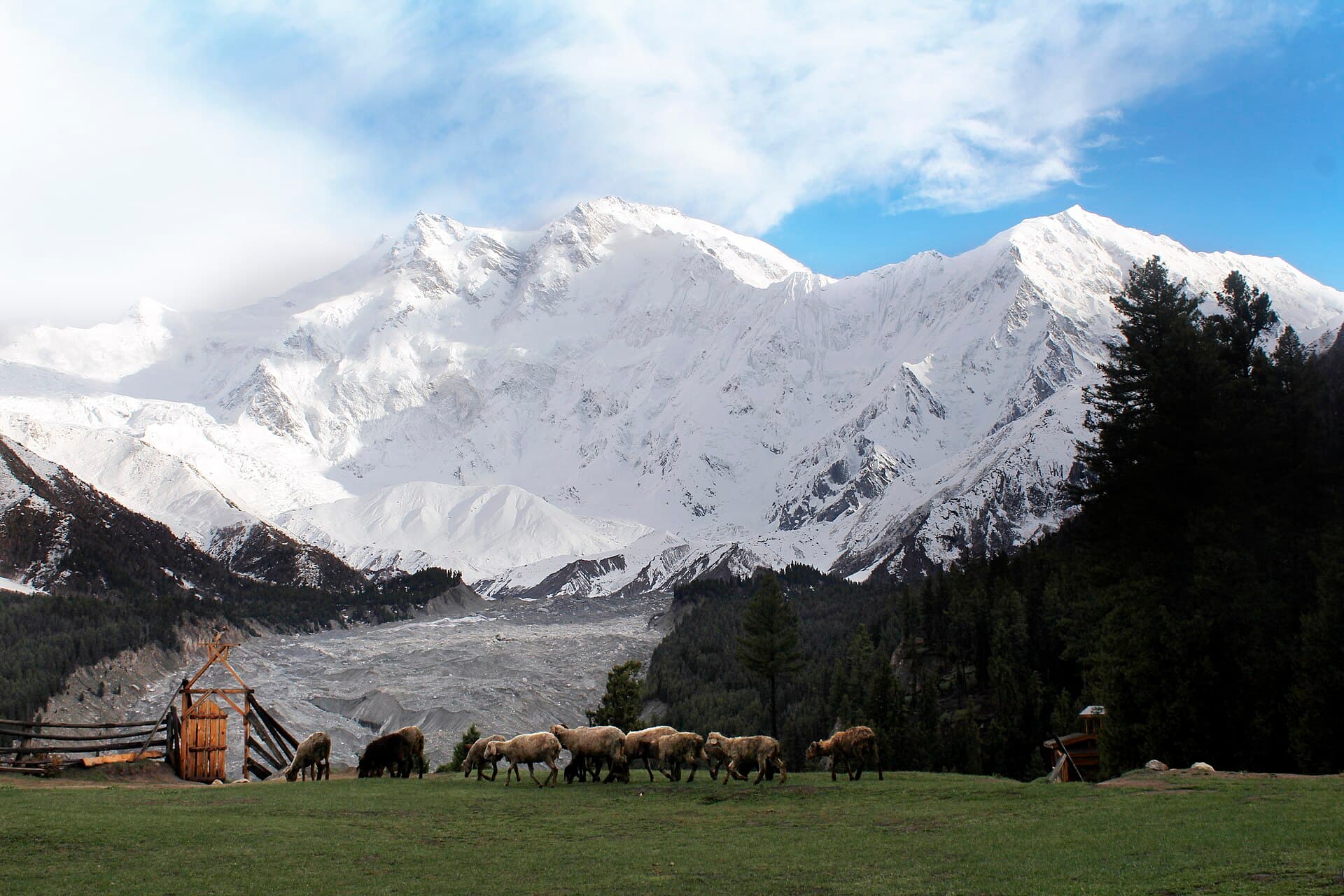
A lush alpine meadow facing Nanga Parbat, the 'Killer Mountain'.
- بہترین موسم
- گرمی
- تجویز کردہ دورانیہ
- 2 دن
I want to write this for anyone who, like me, has never actually hiked anywhere and is wondering if Fairy Meadows is a reasonable place to start. Short answer: yes, if you go into it honestly about your own fitness and don't rush.
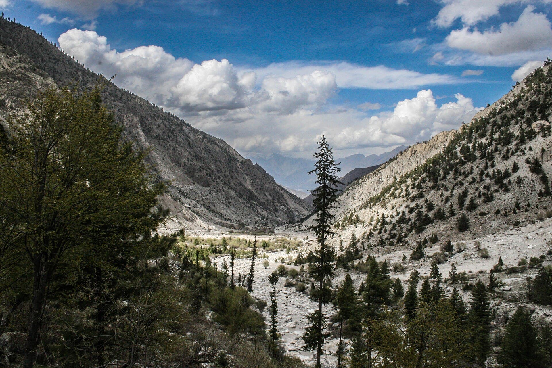
We left Raikot Bridge by jeep — a ride that was its own kind of nerve-wracking, narrow and unpaved for most of it — and started walking from Tato. I'd read it was a few hours and treated that as gospel, then spent the first forty minutes wondering why I was already tired. It gets easier once you find a pace that isn't trying to keep up with anyone else. My cousin, who actually hikes regularly, kept pace with two teenage porters carrying far more than either of us; I stopped every twenty minutes and that was fine too.
The forest section is shaded and honestly beautiful in its own right — it would be easy to treat it as something to get through on the way to the meadow, but I made myself slow down and notice it. Then the trees thin out and there it is: the meadow, and Nanga Parbat directly behind it, closer and larger than any photo prepares you for.
We stayed two nights in one of the wooden guesthouses. Cold in the evenings even in July — I was glad I'd packed a proper jacket instead of assuming summer meant summer everywhere. In the morning the cloud cleared for maybe twenty minutes and the whole mountain was visible before it closed in again. We didn't push on to base camp; two days felt like enough for a first trip, and I'd rather do it properly on a second visit than rush it now.
Coming down was harder on my legs than going up, which nobody warned me about.
Would recommend
Would go back specifically to attempt the base camp extension.
A lush alpine meadow facing Nanga Parbat, the 'Killer Mountain'.
A short jeep-and-foot approach from Tato to the Fairy Meadows plateau.
یہ ایک مسافر کی ذاتی روداد ہے، جو Kohistan Journey کے کمیونٹی فارم کے ذریعے بھیجی گئی۔ Saima Yousuf کوئی تصدیق شدہ شناخت نہیں — ان حوالوں کے پیچھے کوئی اکاؤنٹ سسٹم نہیں، اس لیے یہاں درج نام محض حوالہ ہے، اس بات کا ثبوت نہیں کہ لکھنے والا کون ہے۔ تحریر میں راستوں، حالات، قیمتوں یا رسائی کے بارے میں بیان کردہ باتیں اس مسافر کے اپنے سفر کے وقت کے مشاہدات ہیں، Kohistan Journey کی تصدیق شدہ معلومات نہیں۔ سفر سے پہلے کسی بھی وقت پر منحصر بات کی مقامی تصدیق کر لیں۔