Kohistan Journey
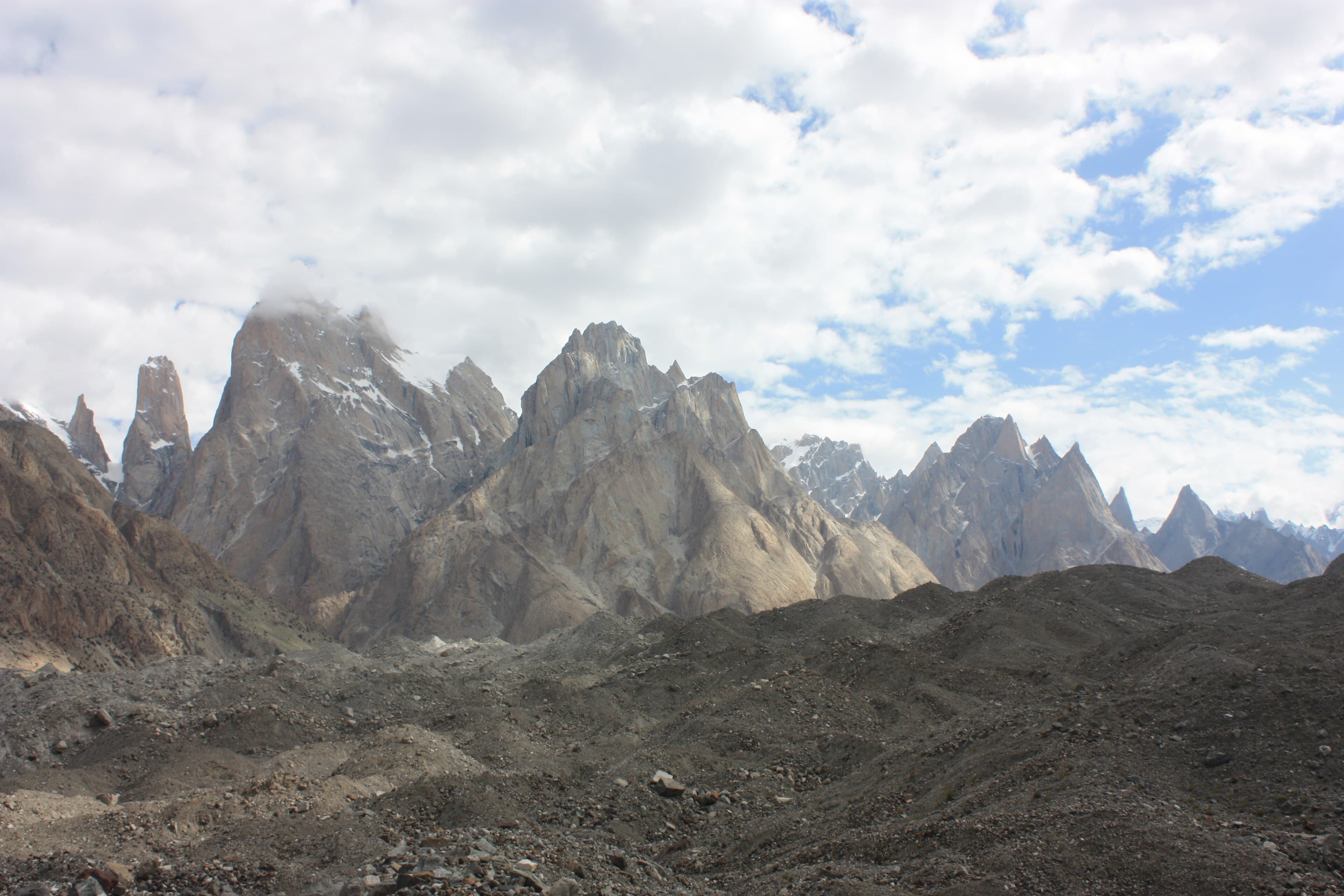
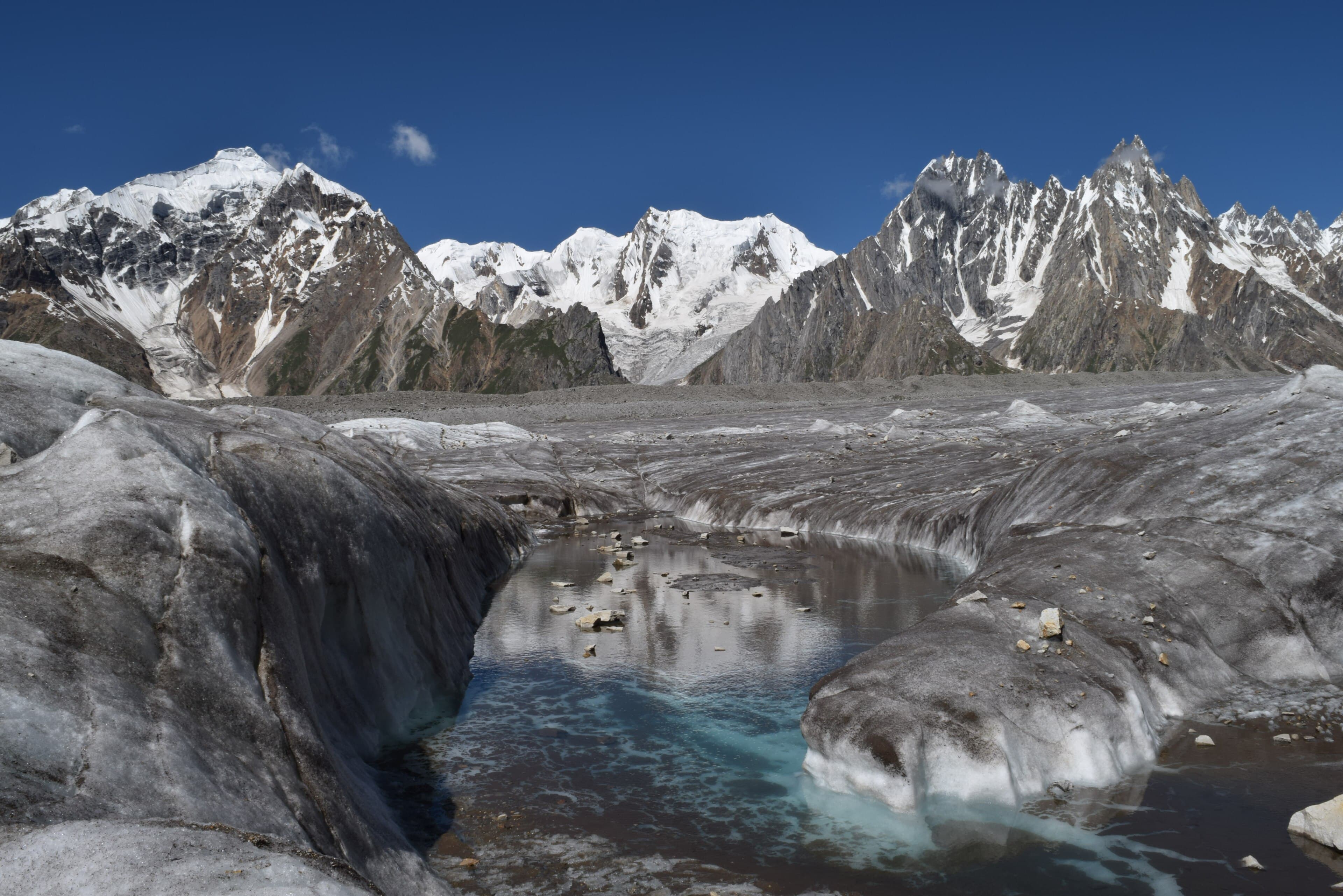
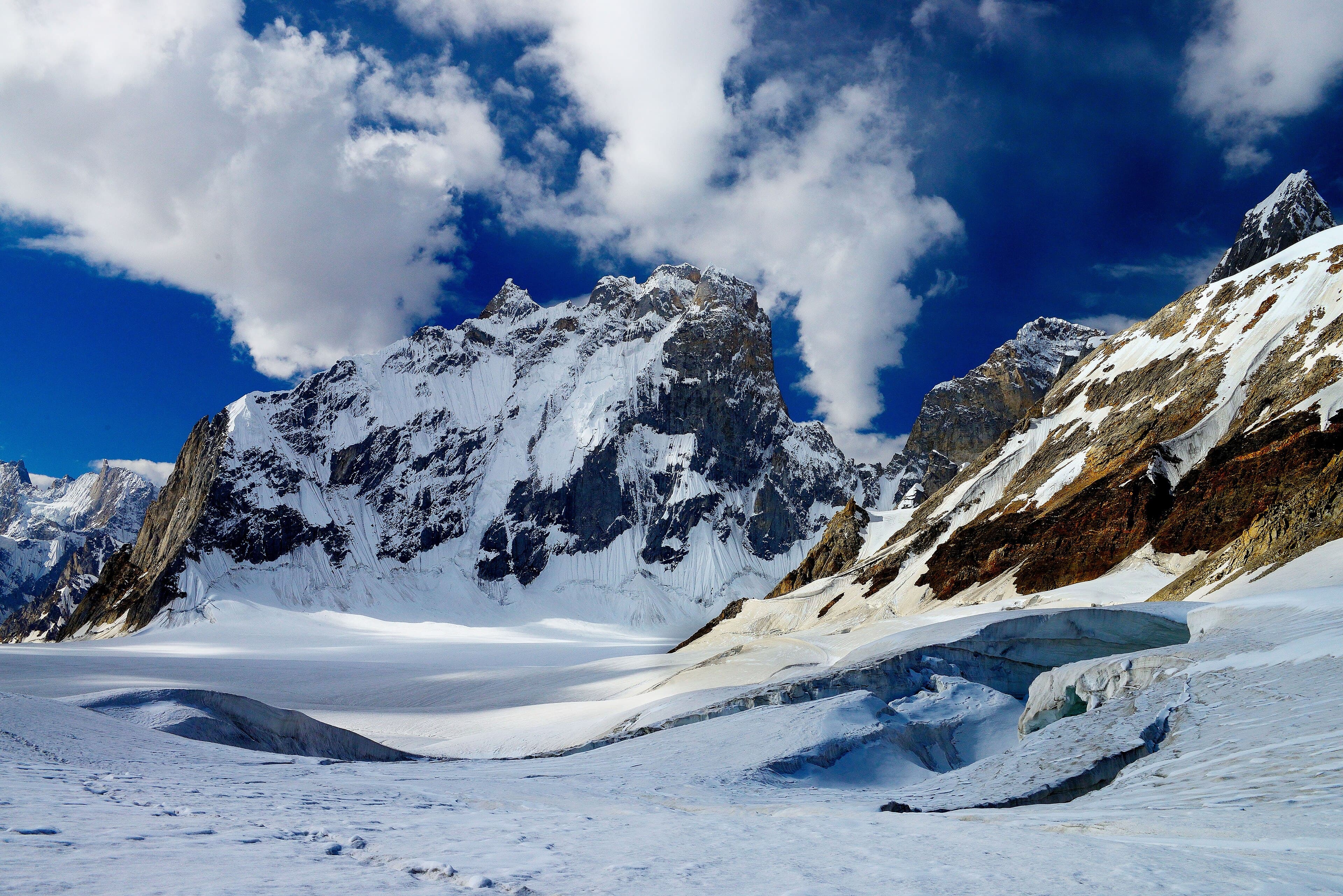
The Biafo Glacier in the Karakoram
DifficultNeeds verification

Biafo Glacier Trek

A multi-day glacier route from Askole up the Biafo, the approach used for Snow Lake and the Hispar traverse.

Region
Gilgit-Baltistan
District
Shigar
Distance
60 km
Duration
8 days
Max elevation
4,600 m
Best season
Summer
All treks
1 min read

Trek statistics

Distances and elevations are commonly-cited approximations. Anything we haven't confirmed is labelled rather than guessed at.

Gilgit-Baltistan
Shigar
Glacier Trek
Difficult
60 km
8 days
Needs verification
4,600 m
Needs verification
Needs verification
Needs verification
Needs verification
Summer
Recommended
Needs verification
Needs verification

How demanding is this trek?

Kohistan Journey's own editorial banding — not an official or standardised mountaineering grade.

DifficultNeeds verification

High altitude, technical terrain, and remote sections requiring experience.

Assessed by
Needs verification
Reviewer
Not yet assigned
Last reviewed
Needs verification

What makes it this hard

  • Maximum elevation 4,000–5,000 m — high altitude
  • Around 60 km of walking in total
  • 8-day itinerary

The published numbers for this route alone would suggest Challenging. The grade above reflects an editorial judgement as well — treat both as indicative and seek local advice.

Difficulty here describes the route in good conditions. Snow, high water, and weather can make any trek on this site significantly harder than its grade suggests, and none of those are tracked on this page.

Elevation profile

An indicative shape of the climb, drawn from published route descriptions — not a surveyed GPS track.

No elevation profile recorded yet

We publish a profile only once we have a route description we can trace it from. A GPX-backed profile for this trek is planned for a later phase.

Trail map

Interactive mapping arrives with verified GPX tracks in a later phase.

Trail map coming in a later phase

We will publish a route line only once we have a GPX track we can stand behind. An approximate line drawn from memory would be worse than none on a route this remote.

Trekking responsibly

These routes pass through places people live and work. How visitors behave has a direct effect on both.

  • Carry every piece of rubbish back out with you, including food waste and packaging.
  • Stay on established paths — braided trails across meadows take years to recover.
  • Ask before photographing people, homes, or livestock.
  • Camp away from water sources and leave campsites as you found them.
  • Pay porters and guides fairly, and check what loads they are carrying.

Before you rely on this page

Kohistan Journey publishes background research, not live mountain information.

Verification statusNeeds verification
Last reviewed
Needs verification
Source type
Not recorded
Reviewer
Not yet assigned

This page does not report current trail conditions, snow cover, river levels, weather, or route closures. None of those are tracked here, and any of them can make a route impassable or dangerous.

This route reaches above 3,000 m. Altitude affects people differently and can become serious quickly. This is general awareness, not medical advice — speak to a doctor about your own situation.

We do not publish permit requirements, guide certifications, porter rates, rescue availability, or emergency numbers, because we cannot keep them accurate. Confirm all of these with local authorities and operators before you travel.

For remote and high-altitude routes, a local guide is not just a convenience — they know the ground, the weather patterns, and the people, in ways no website can replace.

Media attribution

  • The Biafo Glacier in the KarakoramPhoto: Yousaf Feroz GillCC BY-SA 4.0Source
View full site attribution list