Needs verificationFeaturedHidden gem
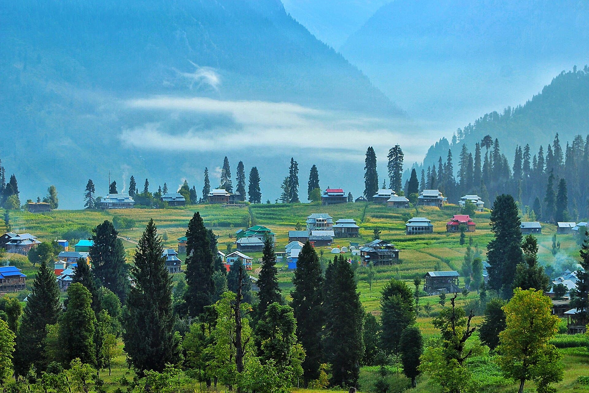
Arang Kel
A hilltop meadow hamlet above Kel, reached on foot or by chairlift.
- Best season
- Summer
- Suggested duration
- 1 day
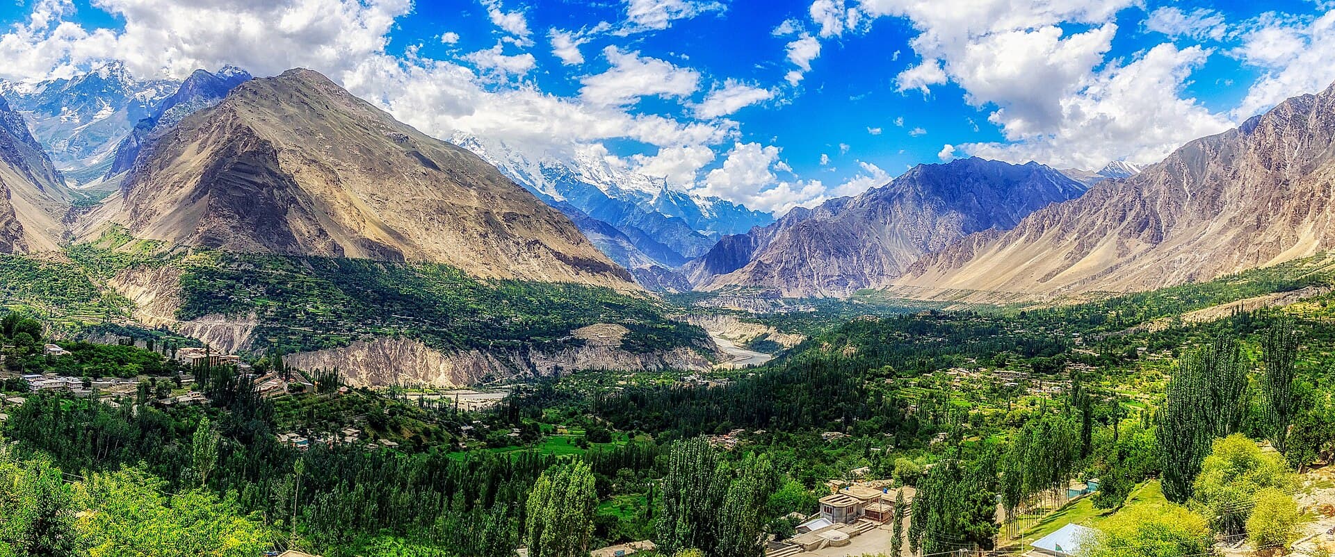
Valleys, lakes, mountains, meadows and landmarks — filter by region, type and season to start planning.
Gilgit-Baltistan (18) · Khyber Pakhtunkhwa (19) · Azad Jammu and Kashmir (10) · Islamabad Capital Territory (4) · Punjab (8) · Sindh (5) · Balochistan (3)
67 destinations found
A hilltop meadow hamlet above Kel, reached on foot or by chairlift.
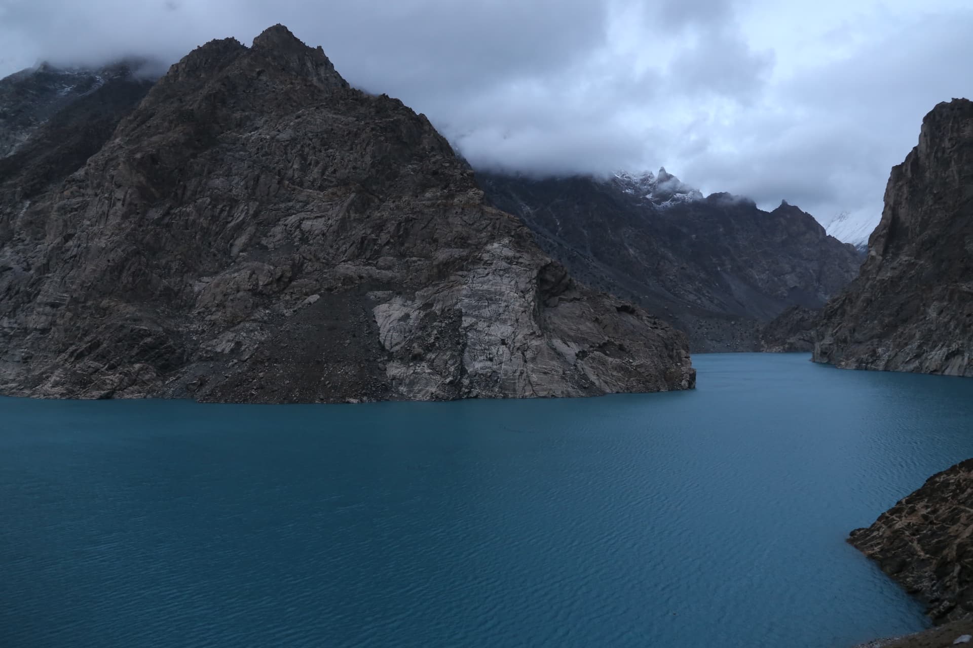
A striking turquoise lake formed by a 2010 landslide on the Hunza River.
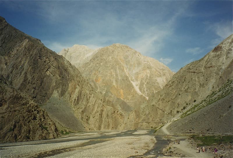
A remote frontier town beneath Tirich Mir, seat of the Mehtars and the road hub for the Hindu Kush.
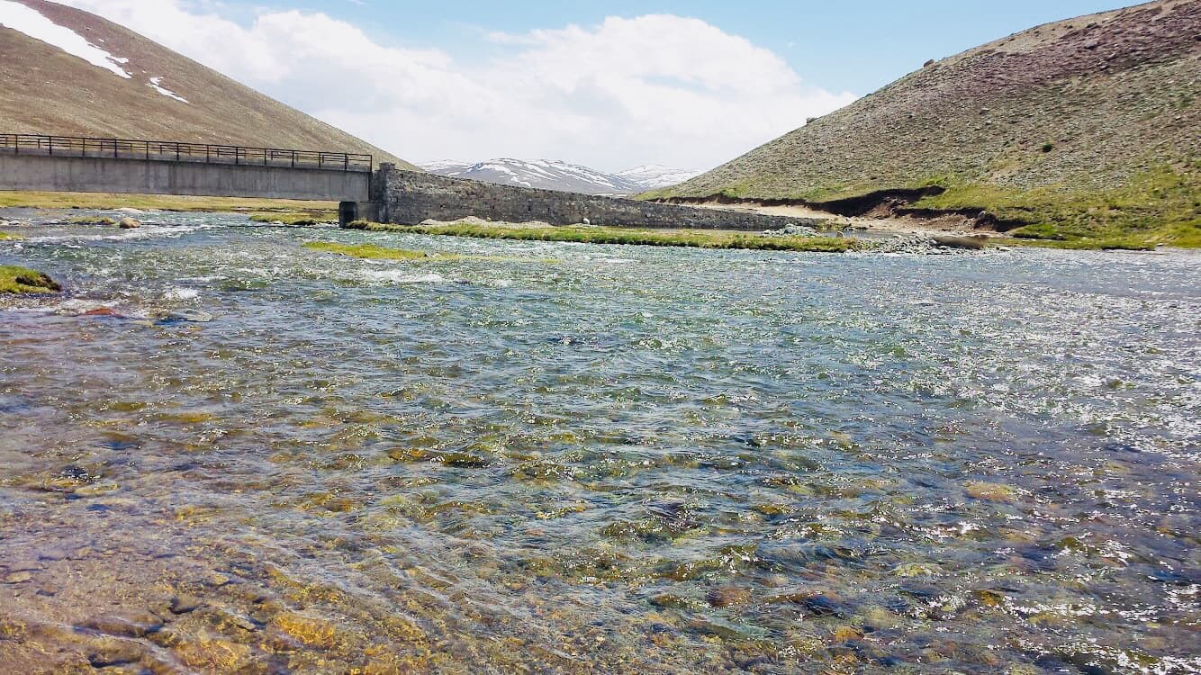
A vast high-altitude plateau known as the 'Roof of the World'.
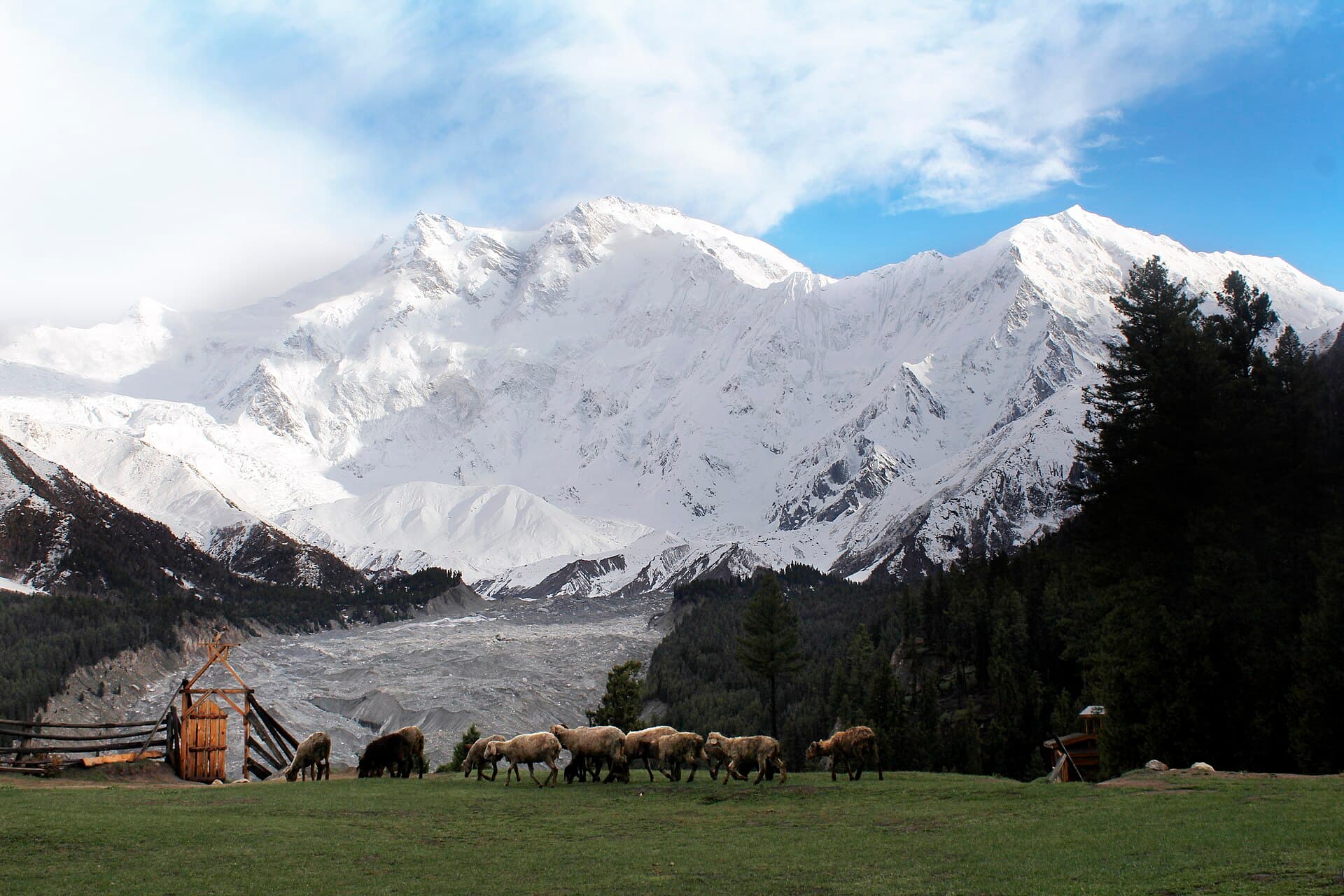
A lush alpine meadow facing Nanga Parbat, the 'Killer Mountain'.
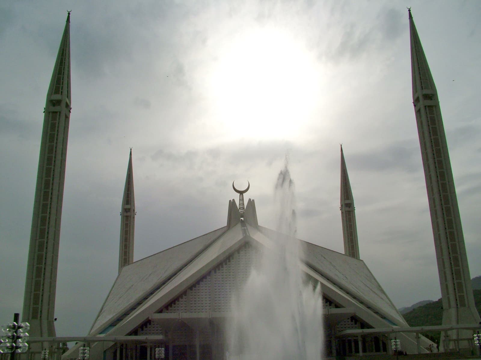
Pakistan's largest mosque and a landmark of modern Islamic architecture.
Terraced orchards, glacial peaks and centuries-old forts along the Karakoram Highway.
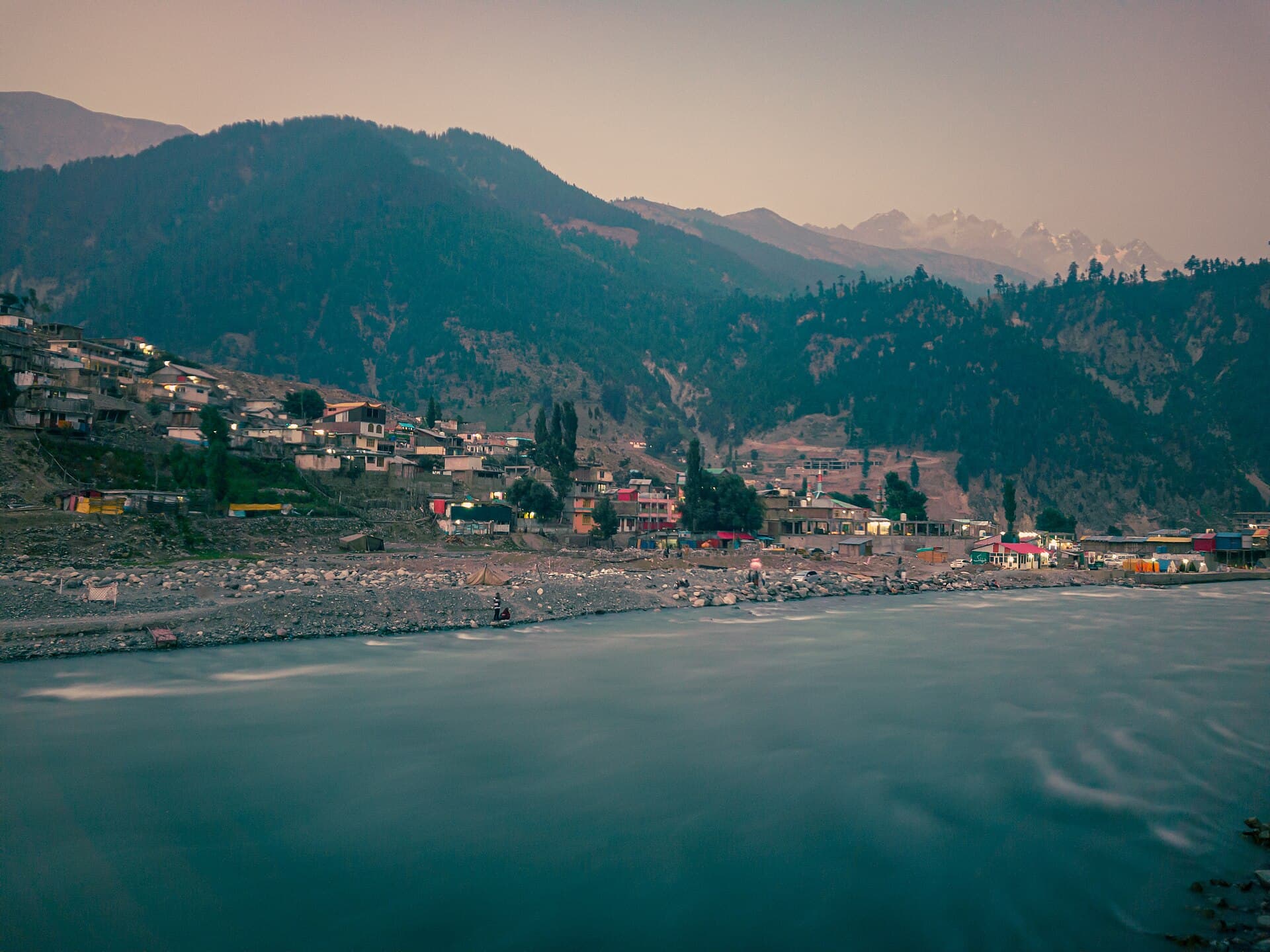
Swat's mountain hub and gateway to Ushu, Mahodand and Utror valleys.
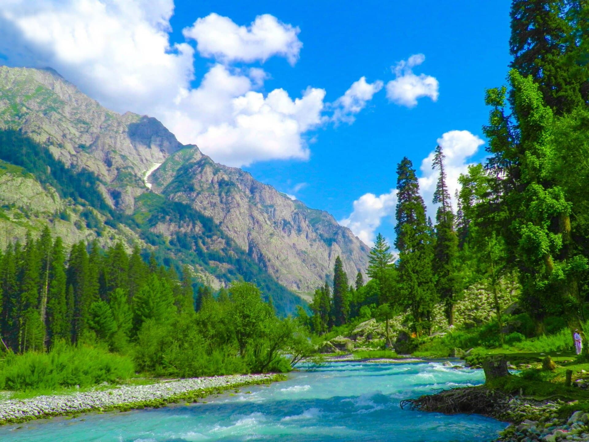
Dense pine forests, glacial rivers and remote alpine meadows in Upper Dir.
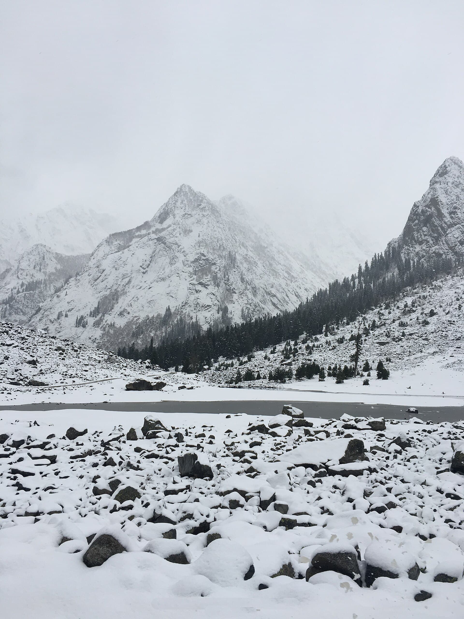
A glacial lake at the head of the Ushu Valley, ringed by pine forest and snow peaks.
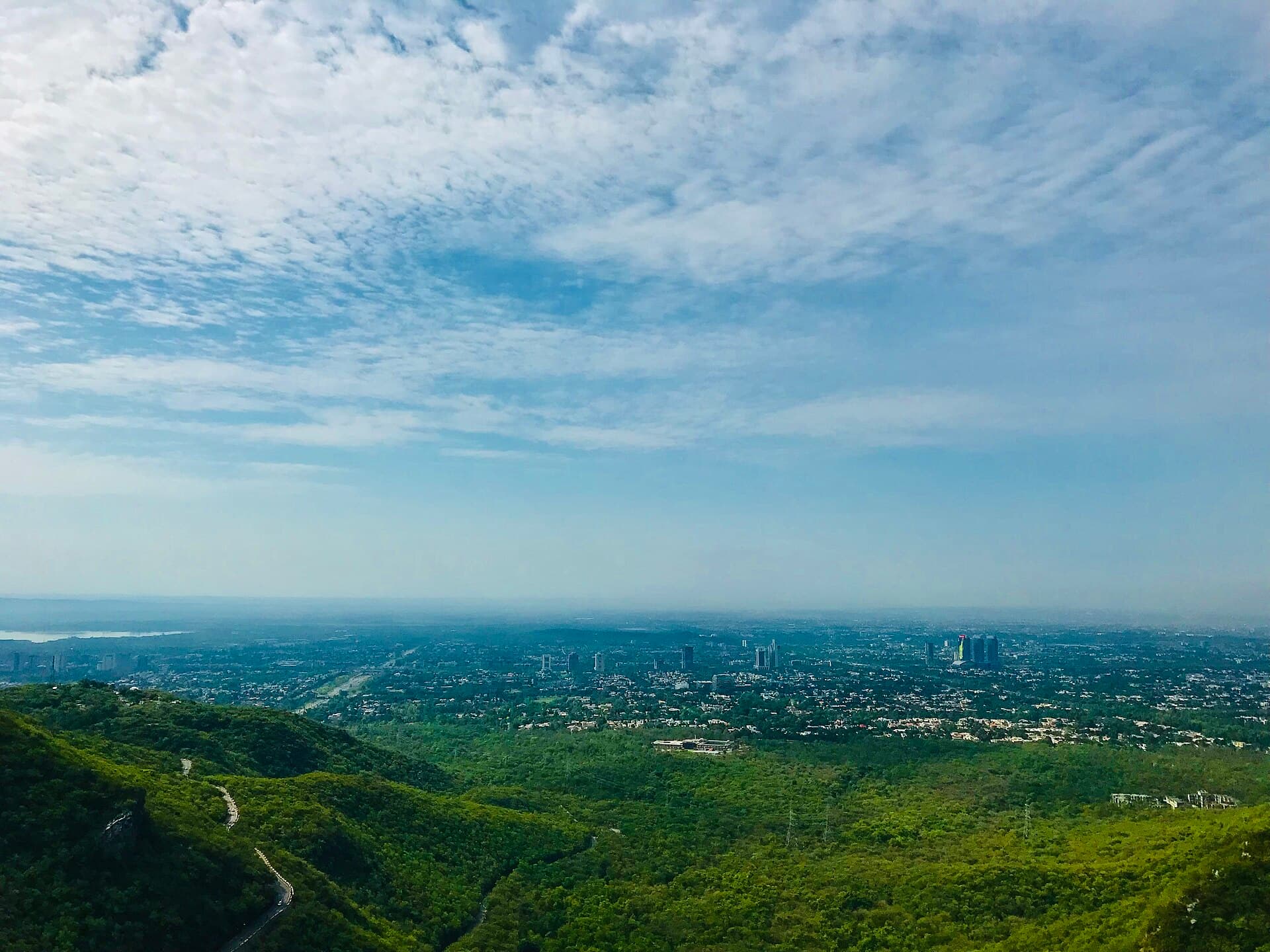
A forested national park overlooking Islamabad, laced with hiking trails.
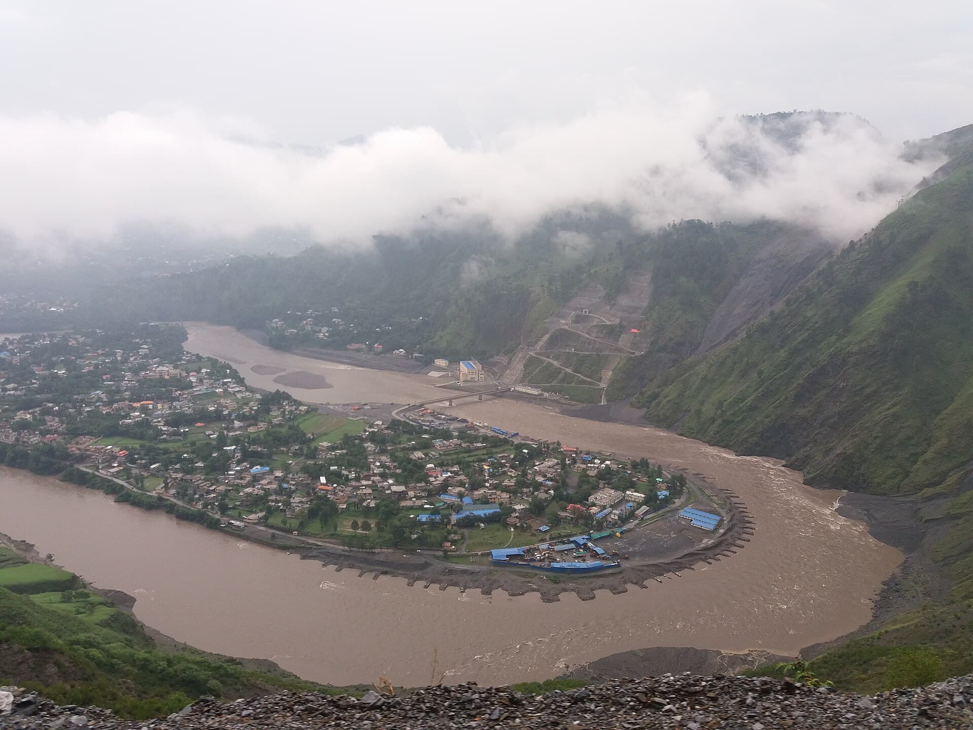
The capital of Azad Jammu and Kashmir, where the Neelum and Jhelum rivers meet.
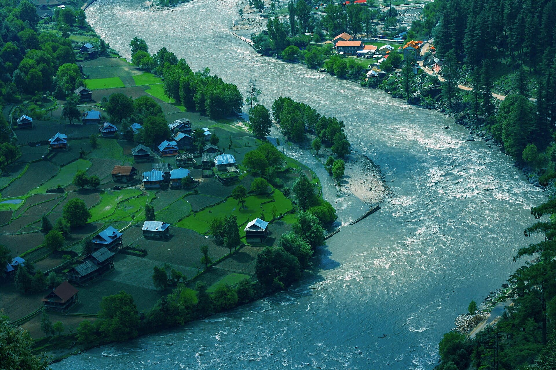
A long, forested valley following the Neelum River, dotted with waterfalls.
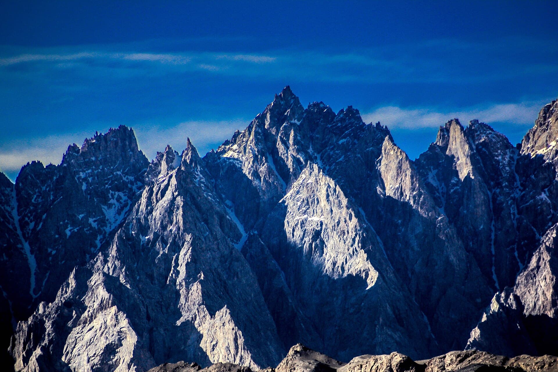
Needle-like limestone peaks rising above the Hunza River and Passu Glacier.
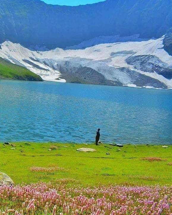
A high alpine glacial lake above the Neelum Valley, reached via Dowarian.
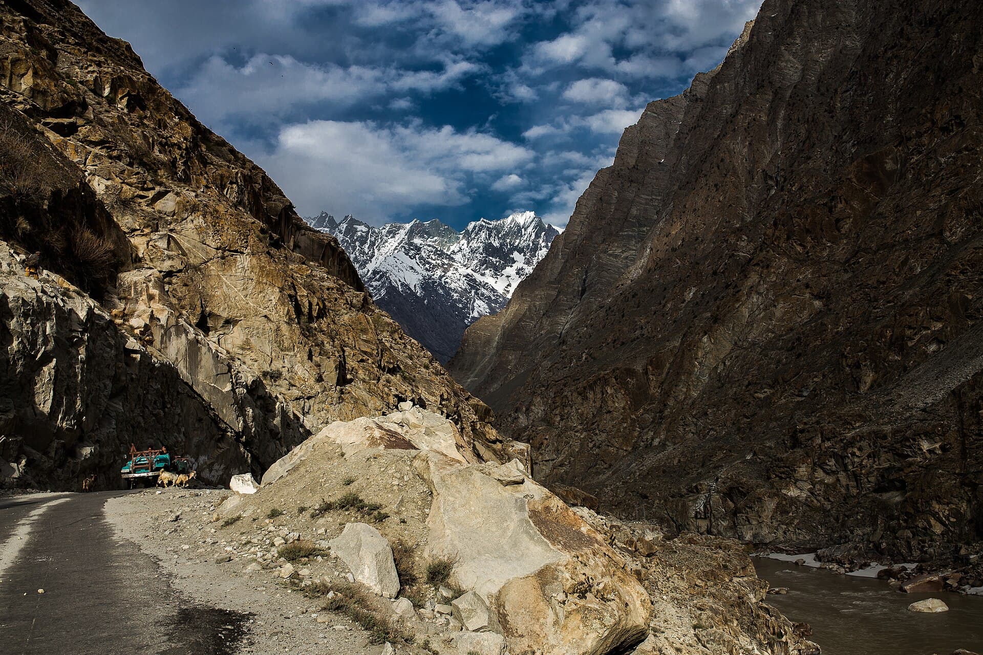
The Karakoram's gateway town, ringed by desert-like valleys and glacial lakes.
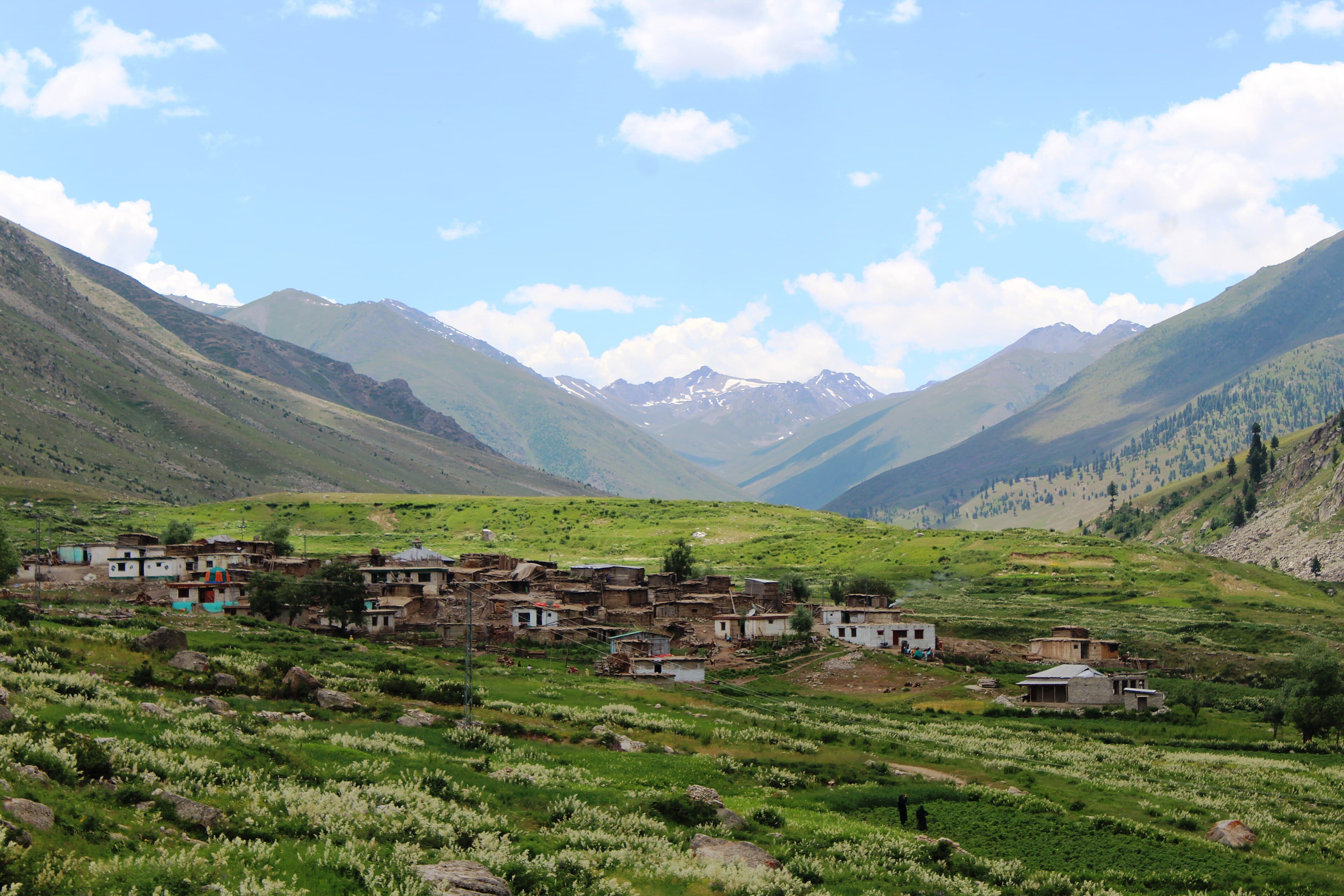
A valley on the Deosai approach road, giving access to Rama Meadow and views of Nanga Parbat's Rupal side.
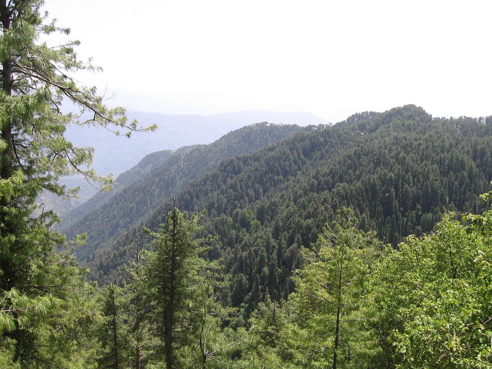
A moist temperate forest park in the Galyat, best known for the walking track between Ayubia and Dunga Gali.
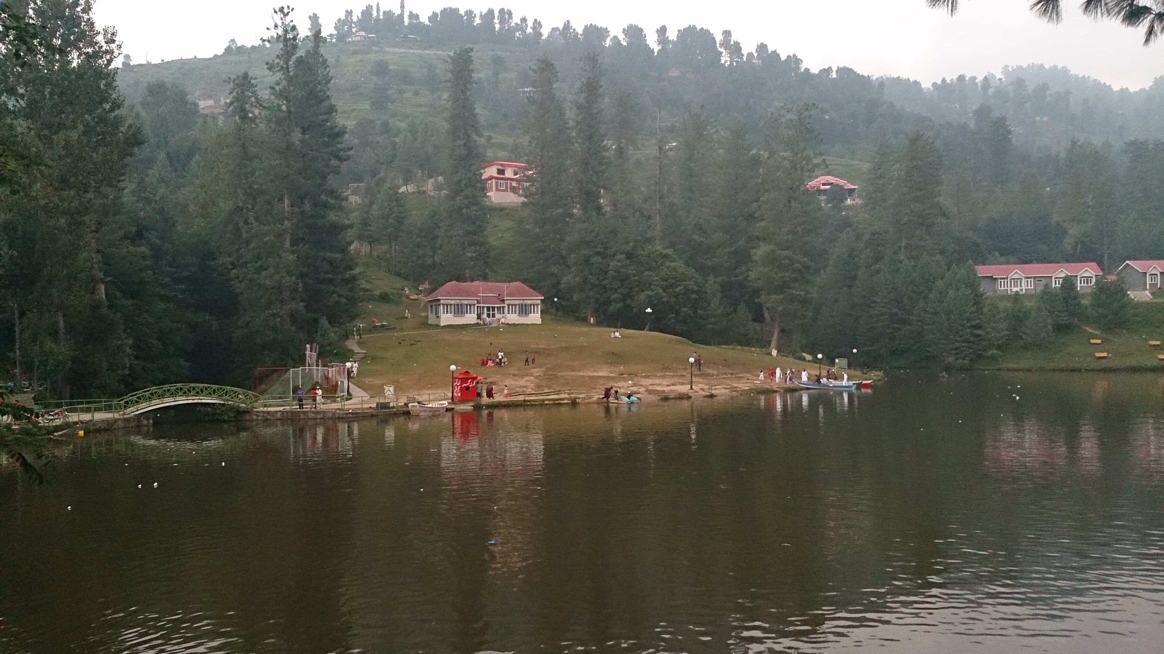
A small artificial lake near Rawalakot, set in pine forest and used for boating and picnics.
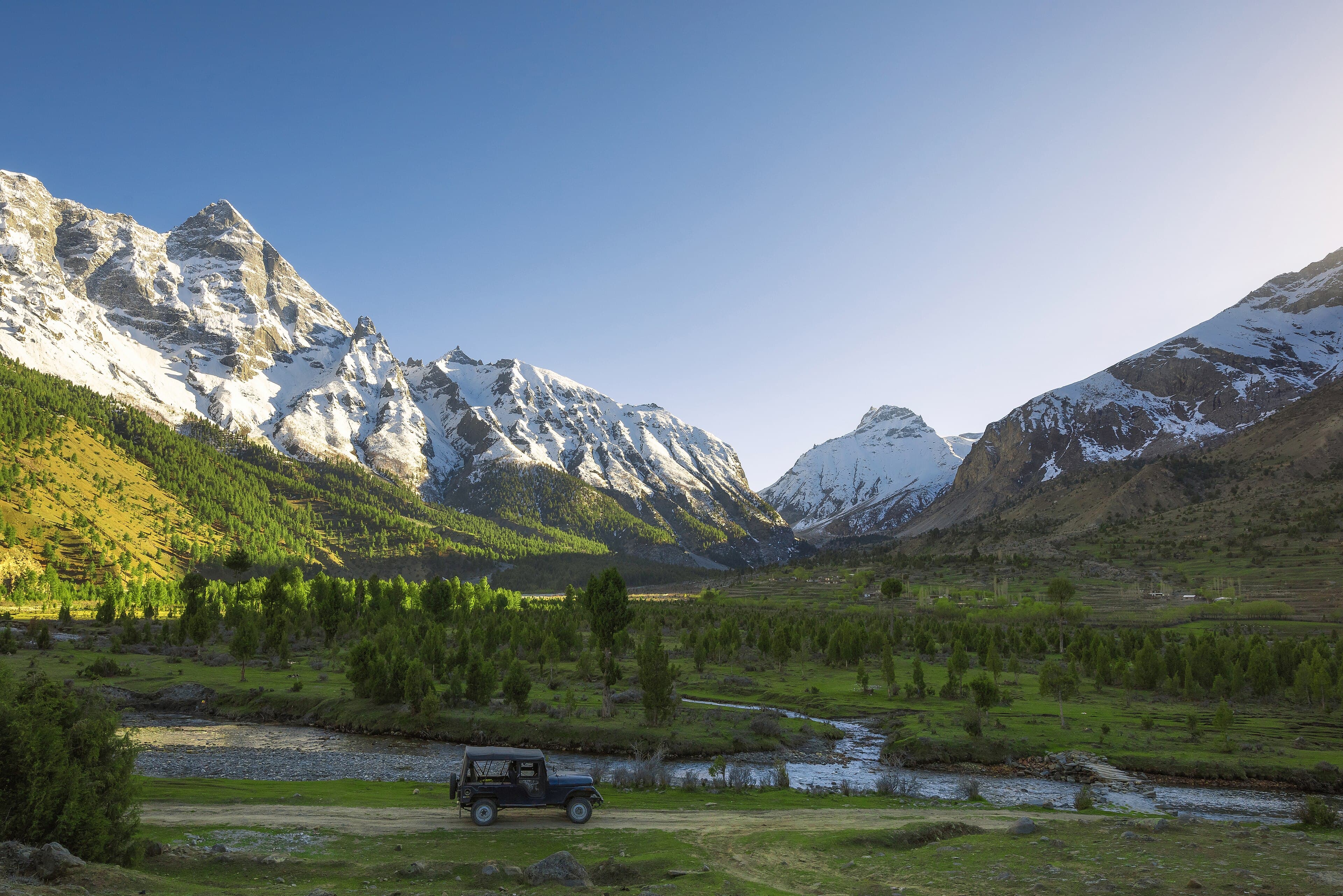
A forested side valley near Skardu, less visited than Shigar or Deosai, with camping meadows further up the valley.
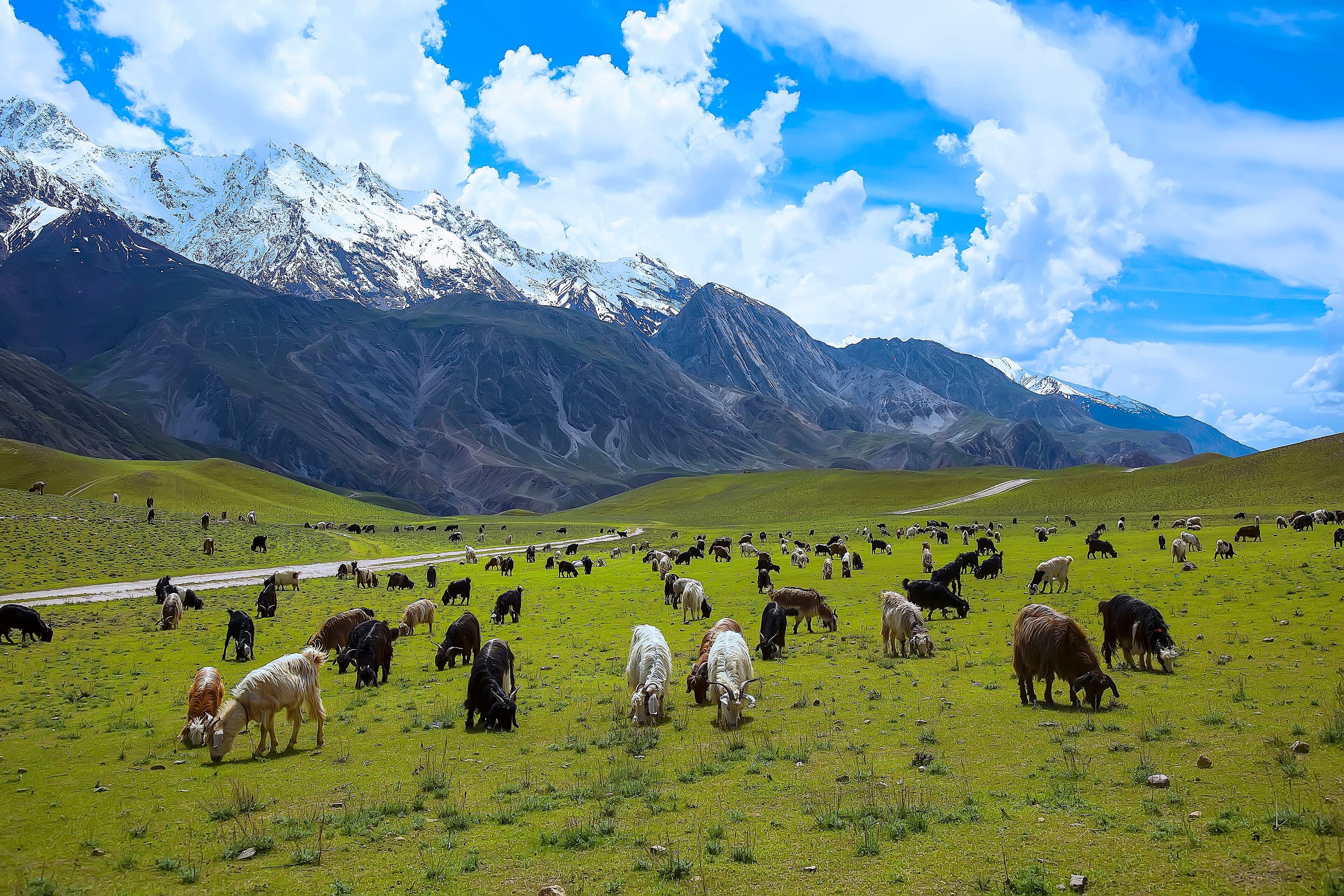
A protected reserve near Chitral town, established primarily to conserve the markhor, Pakistan's national animal.
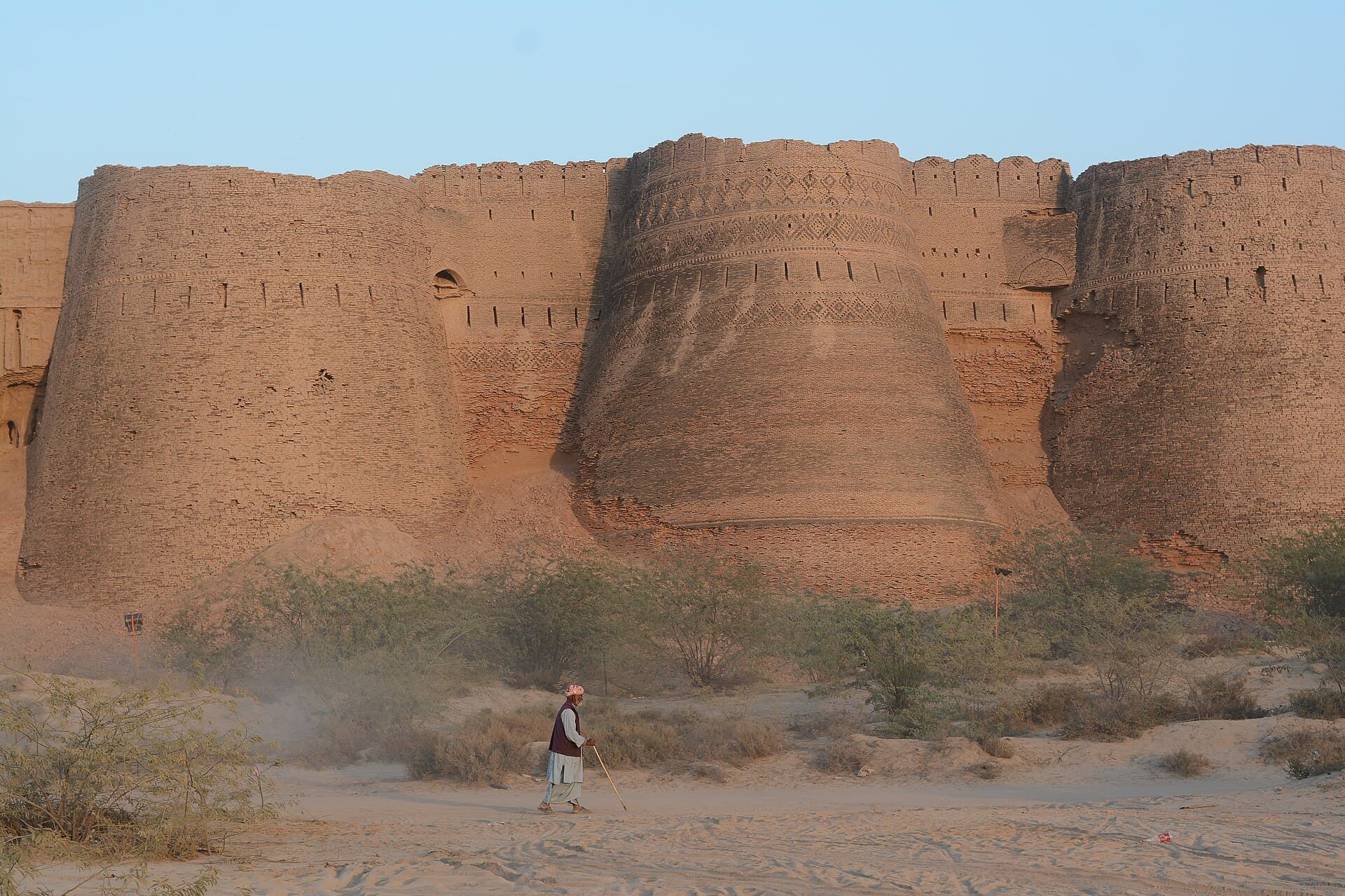
A square mud-brick fortress of forty bastions standing alone in the Cholistan Desert south of Bahawalpur.
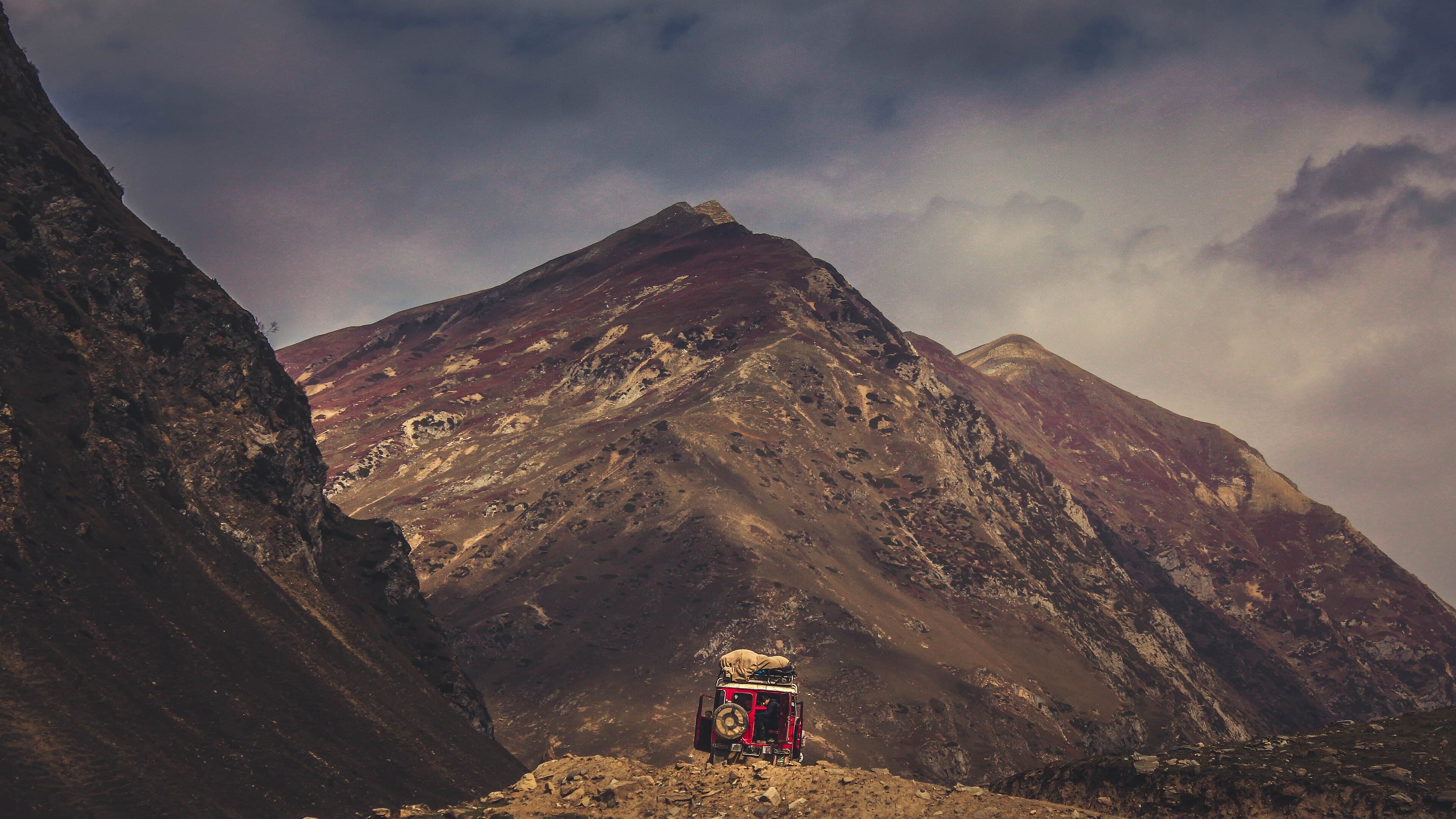
A Neelum Valley village and the jeep-track starting point for Ratti Gali Lake.
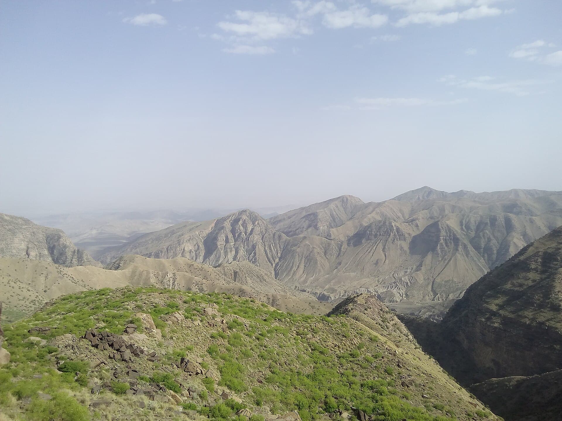
A hill station in the Sulaiman Mountains above Dera Ghazi Khan, and southern Punjab's usual escape from the heat.
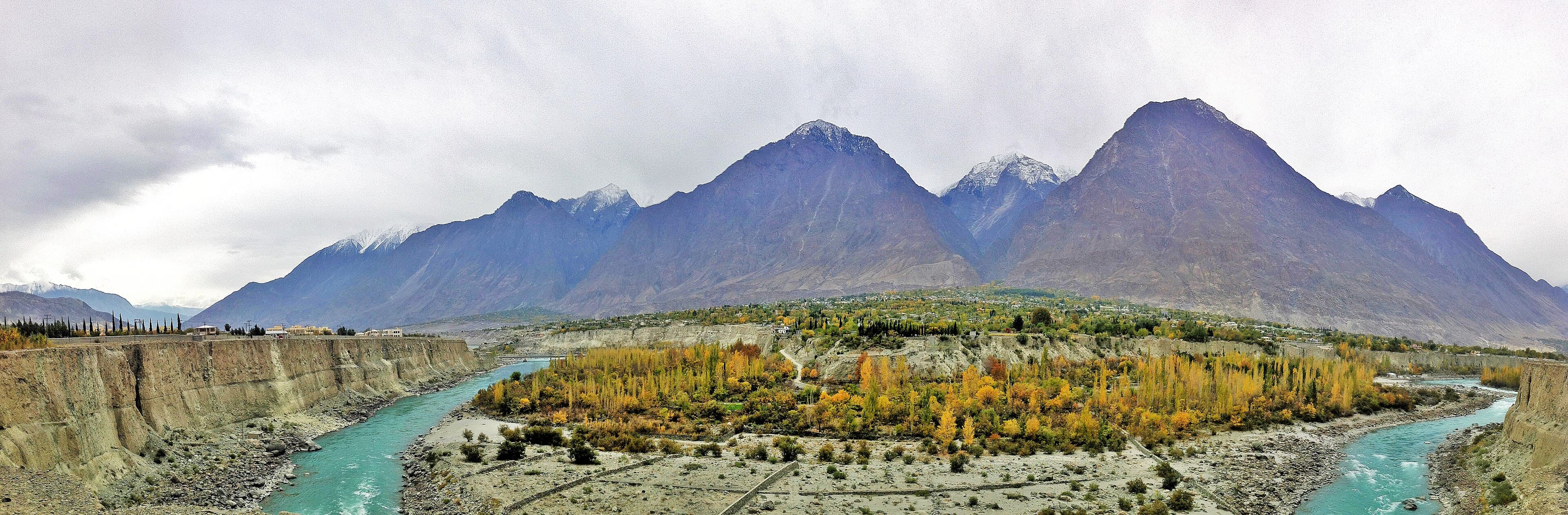
Gilgit-Baltistan's largest city and transport hub, at the junction of the Karakoram Highway and the routes into Hunza and Naltar.
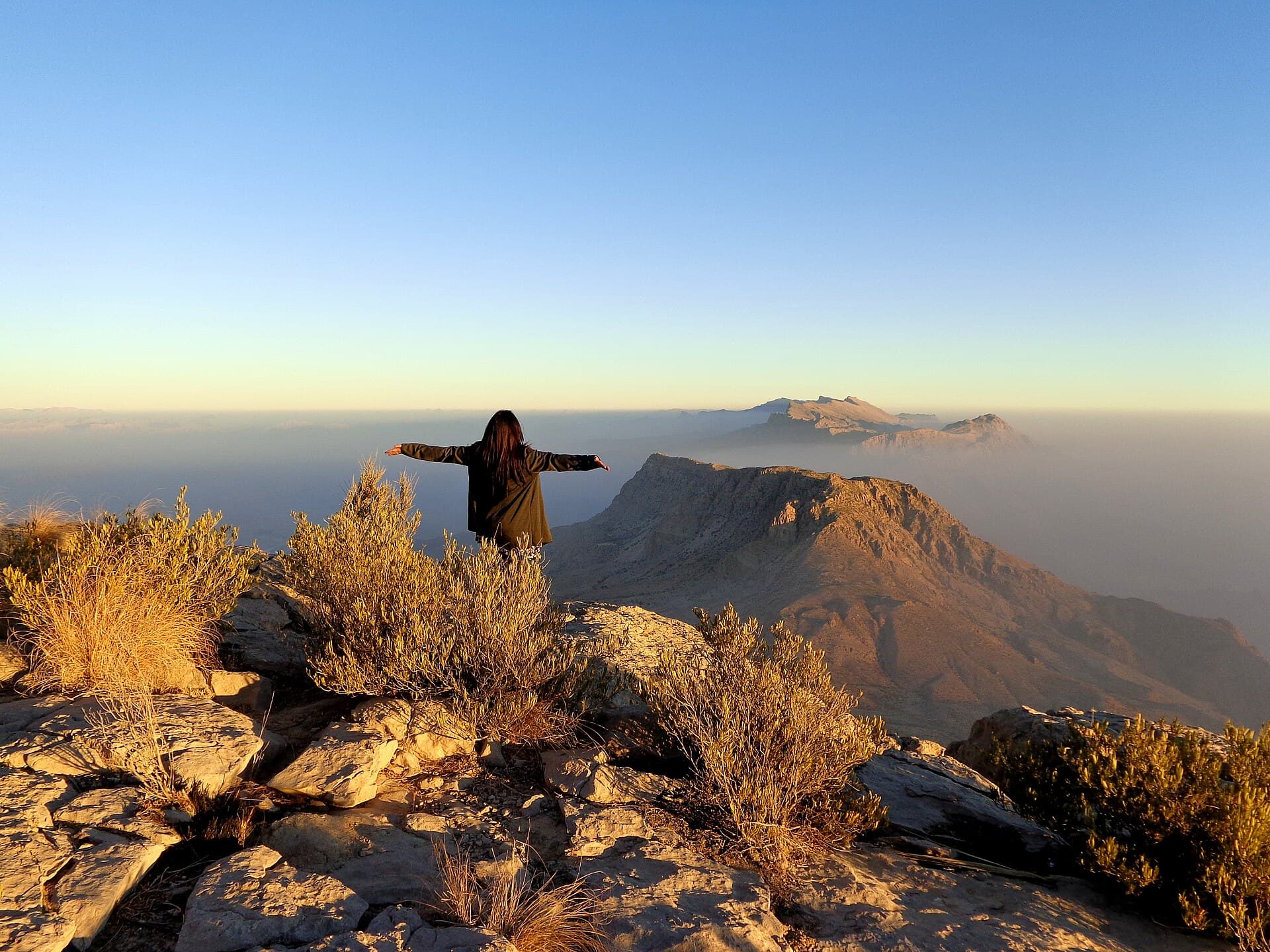
A high plateau in the Kirthar range, among the few places in Sindh cold enough to see frost.
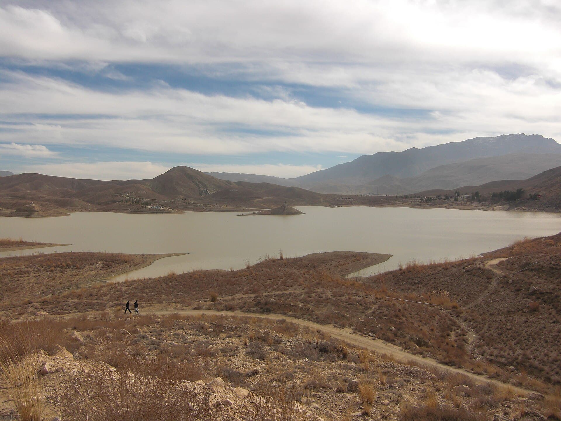
A reservoir in the hills just outside Quetta, and the city's usual afternoon outing.
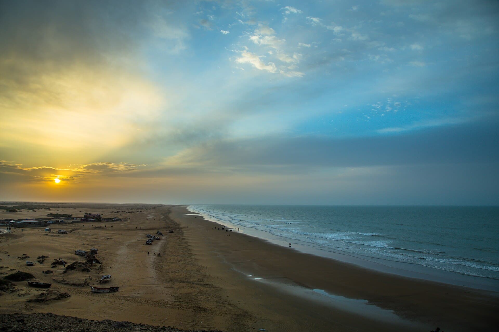
Pakistan's largest national park — eroded badlands, mud volcanoes and the beach at Kund Malir, on the Makran coast.
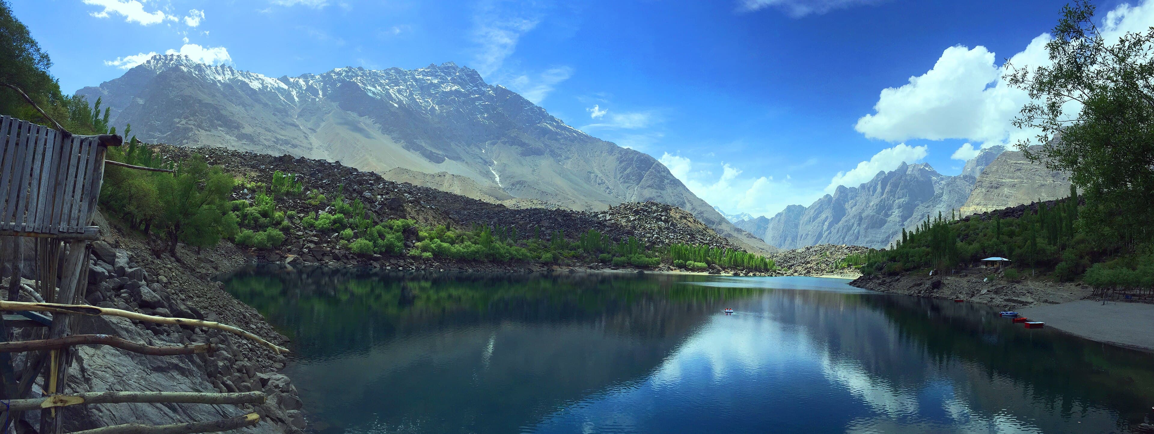
A pair of lakes (Upper and Lower Kachura) a short drive from Skardu, one bordered by a well-known lakeside resort.
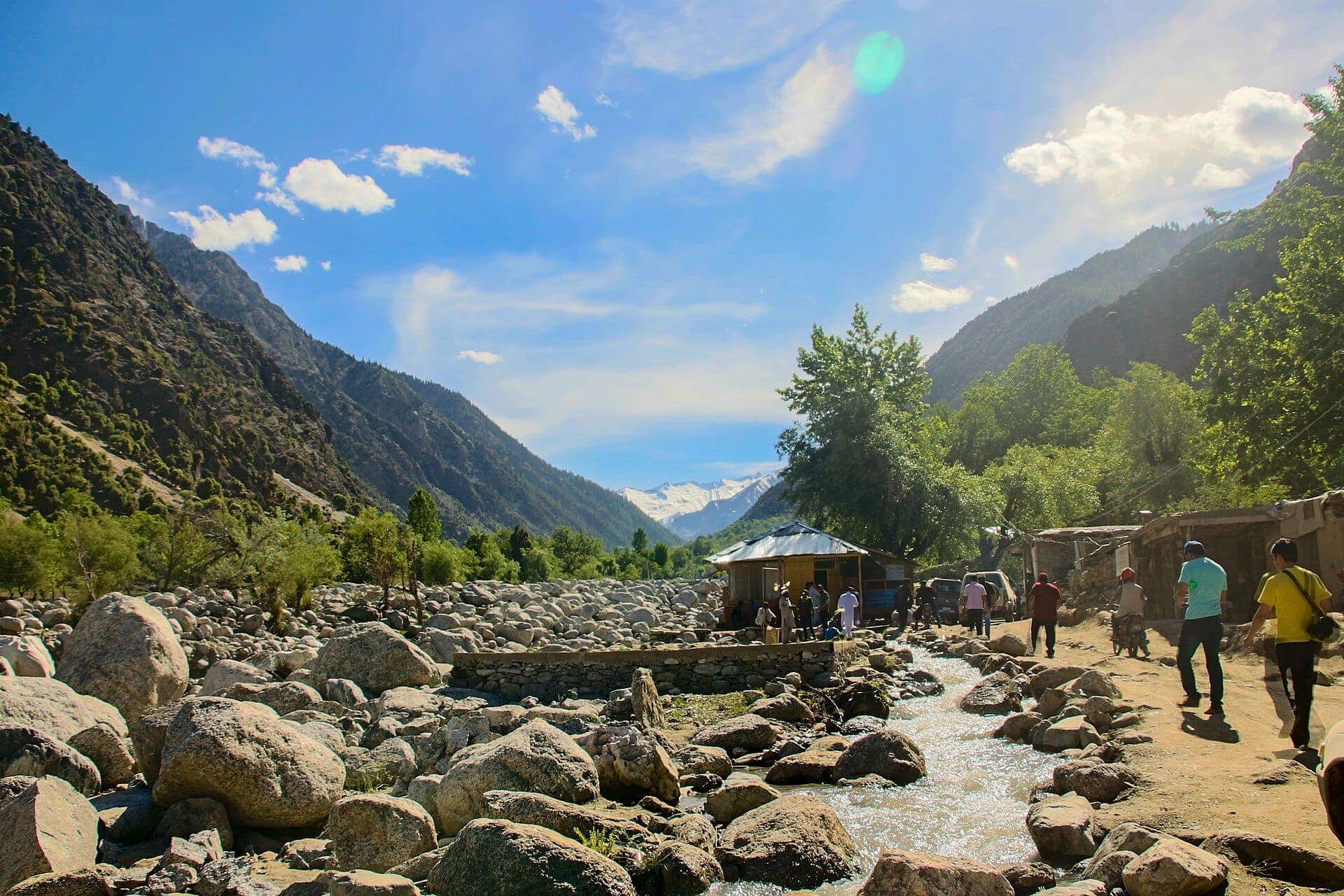
The three Kalasha valleys west of Chitral — Bumburet, Rumbur and Birir — home to one of Pakistan's smallest indigenous communities.
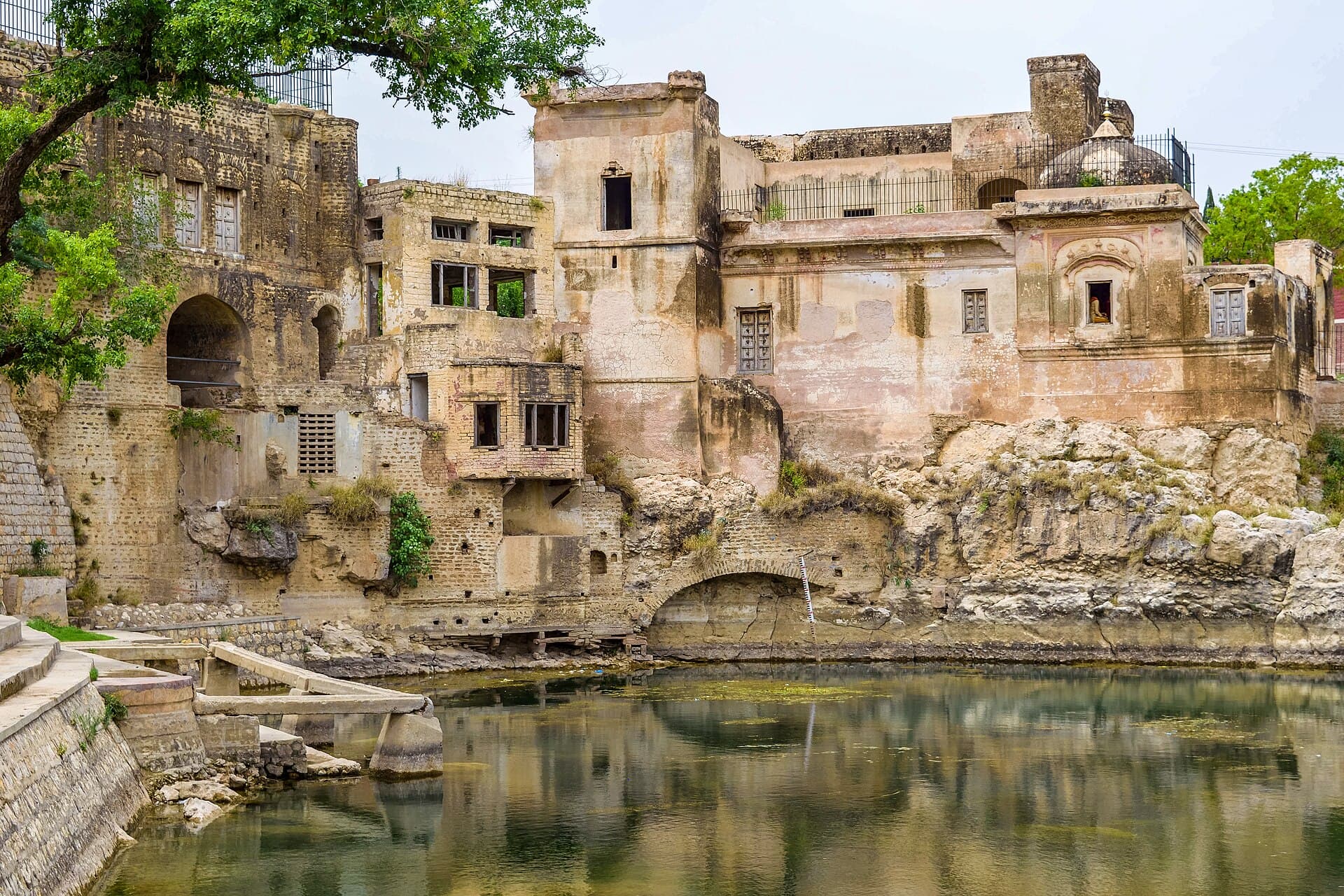
A Hindu temple complex around a sacred pool in the Salt Range, and an active pilgrimage site.
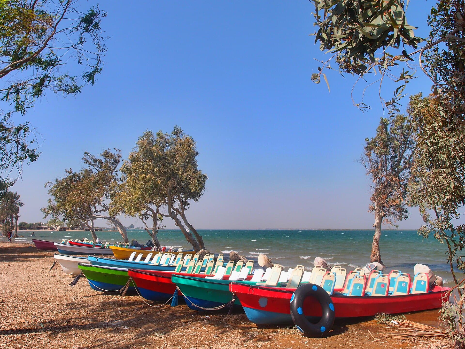
A large freshwater lake near Thatta, used for boating, picnics and winter birdwatching.
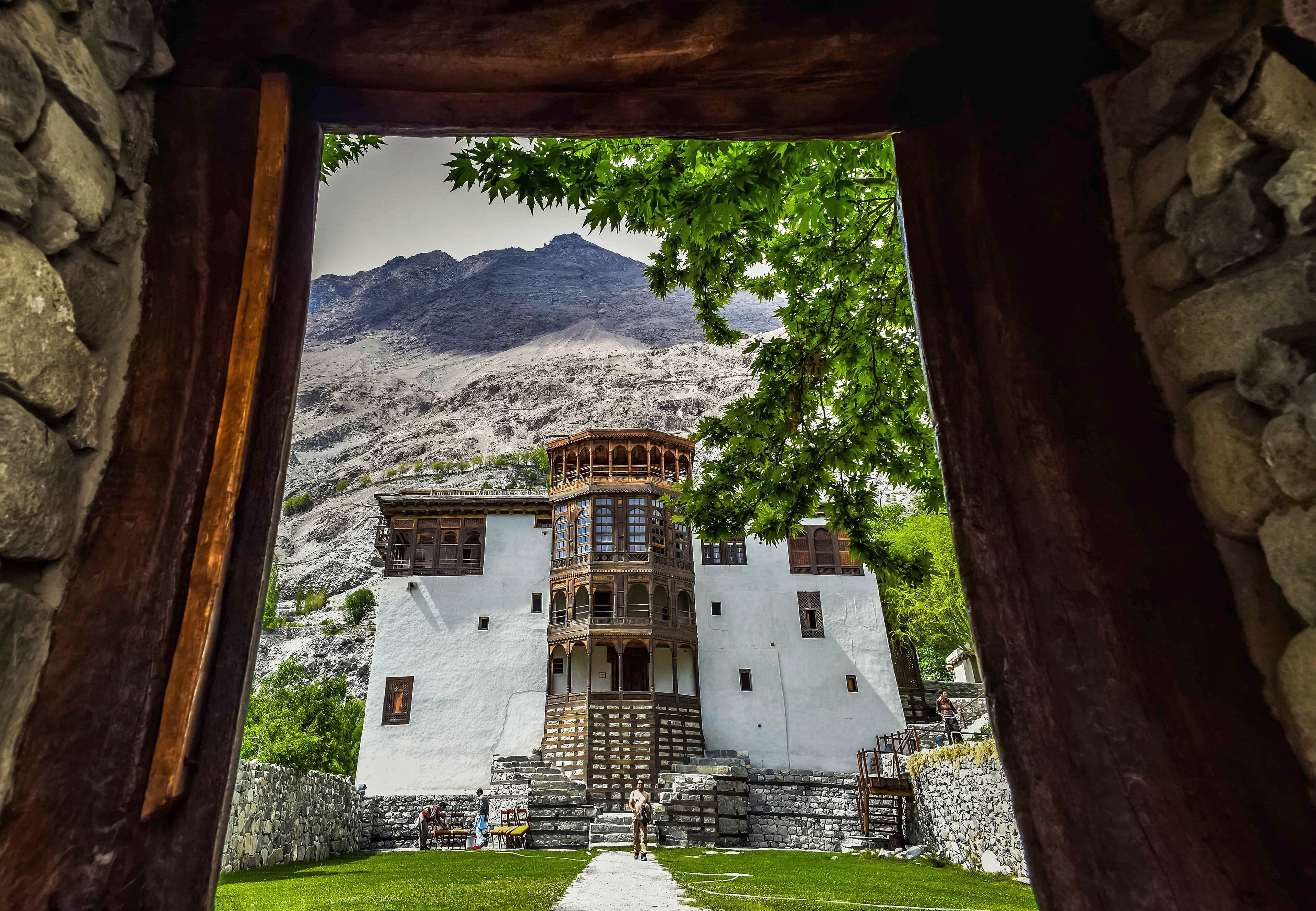
A former princely capital east of Skardu, known for Khaplu Palace and its position at the edge of the Baltoro region.
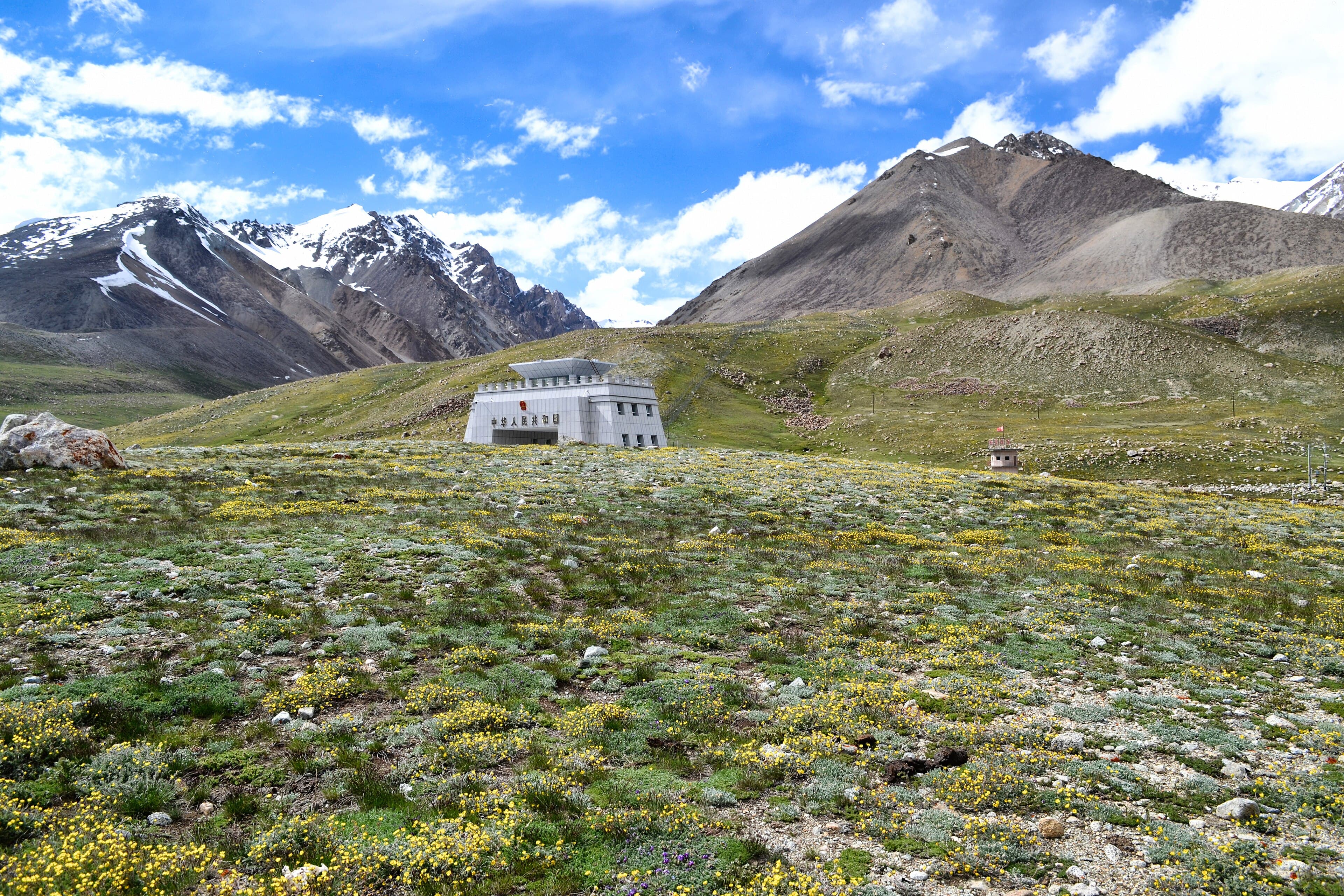
The high border crossing between Pakistan and China at the head of the Karakoram Highway, within Khunjerab National Park.
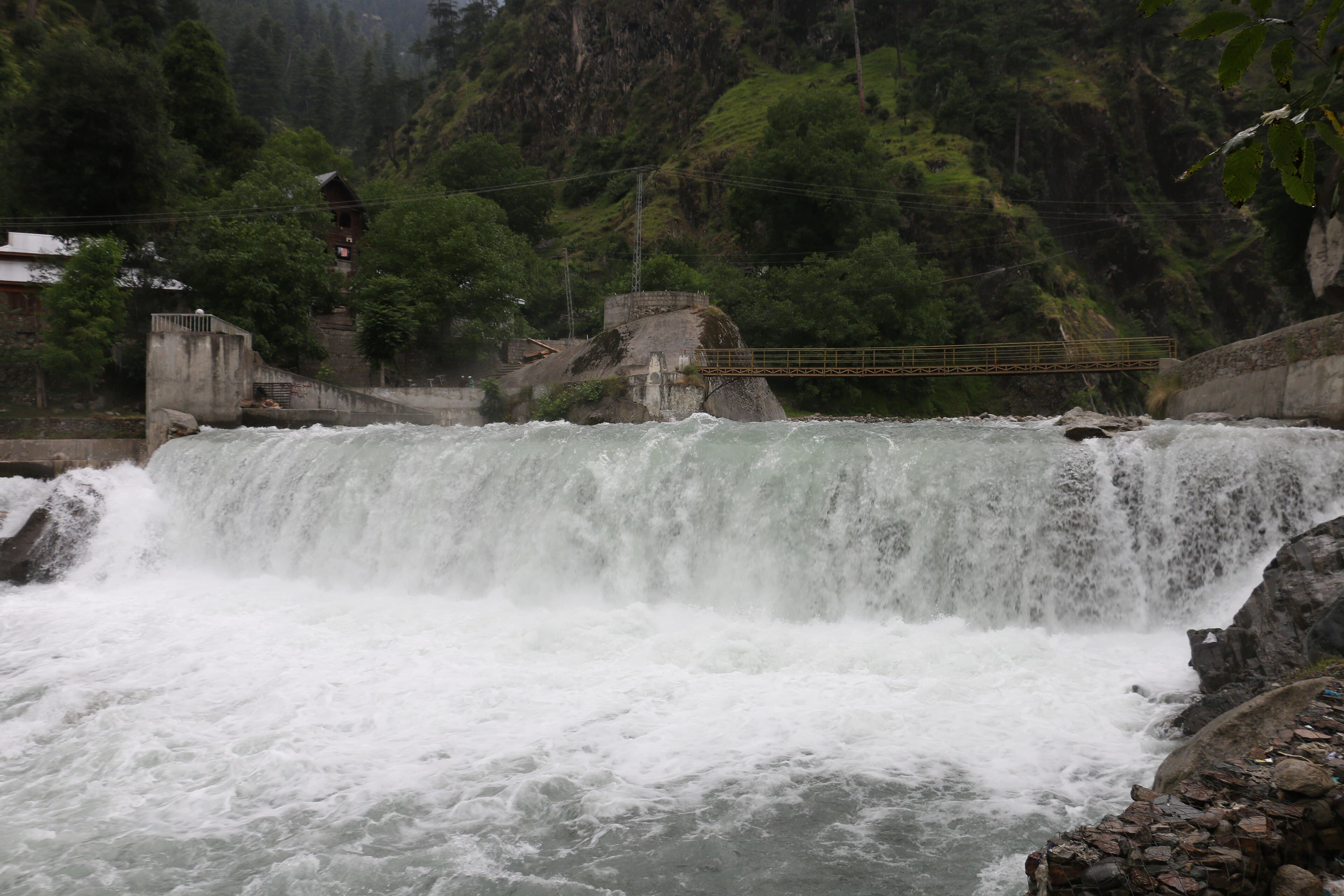
A riverside village on the lower Neelum road, one of the valley's first major stops from Muzaffarabad.
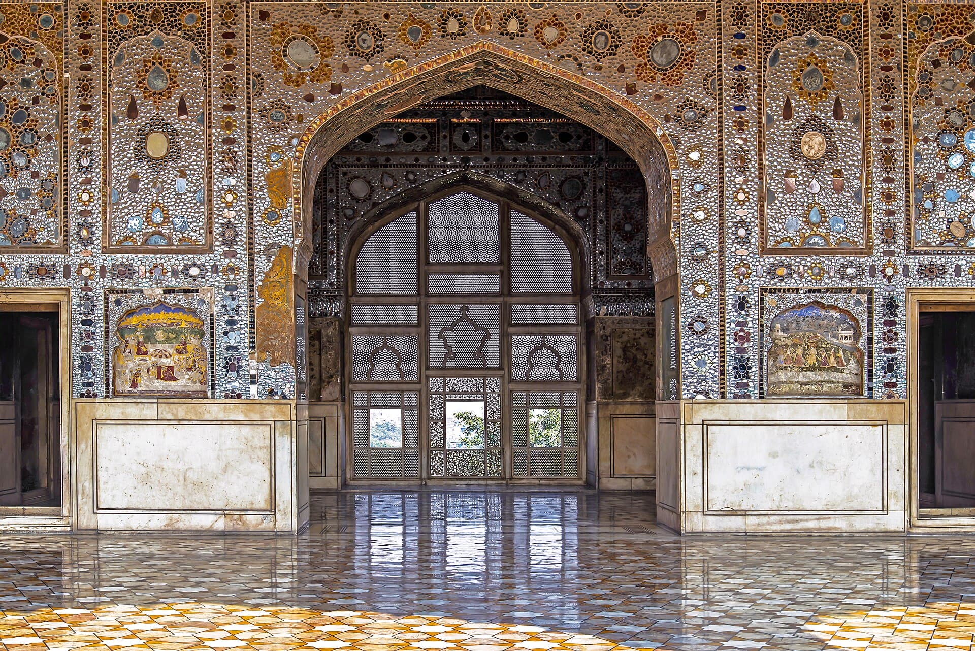
The Mughal citadel of Lahore, inscribed with the Shalimar Gardens as a UNESCO World Heritage Site in 1981.
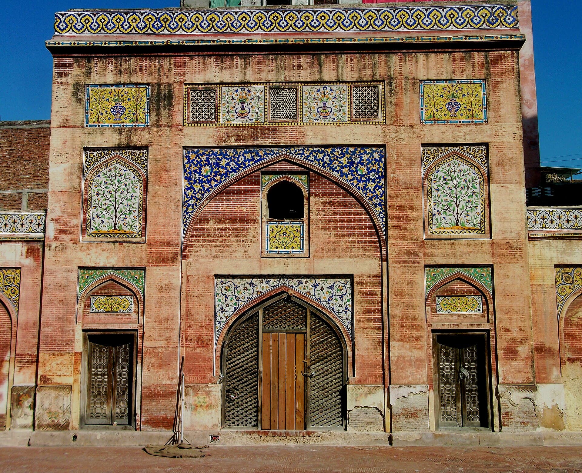
The old city inside Lahore's gates — Wazir Khan Mosque, the Delhi Gate bazaars and the havelis behind them.
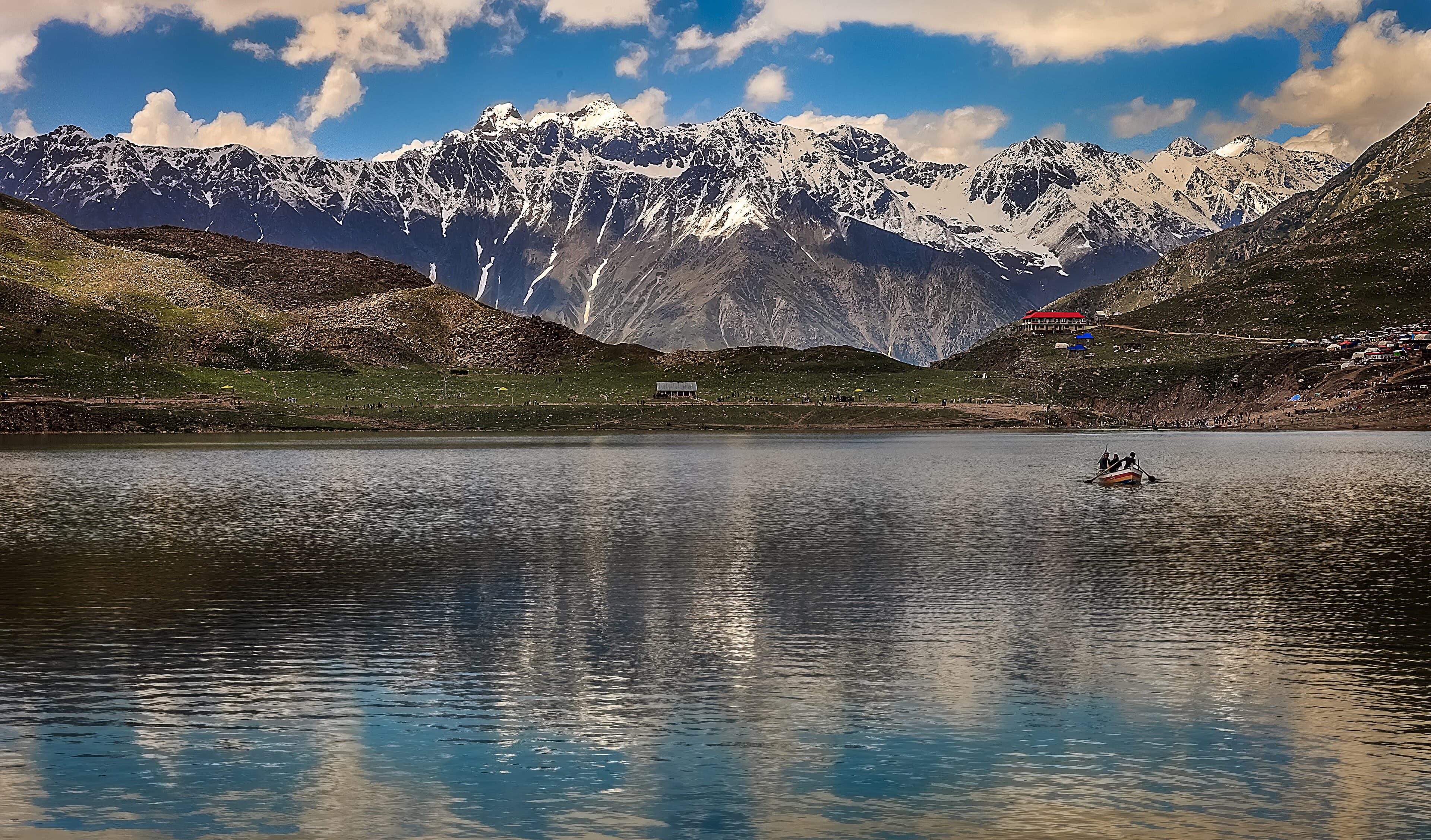
A glacial lake above Naran at the foot of Malika Parbat, tied to a well-known local folk legend.
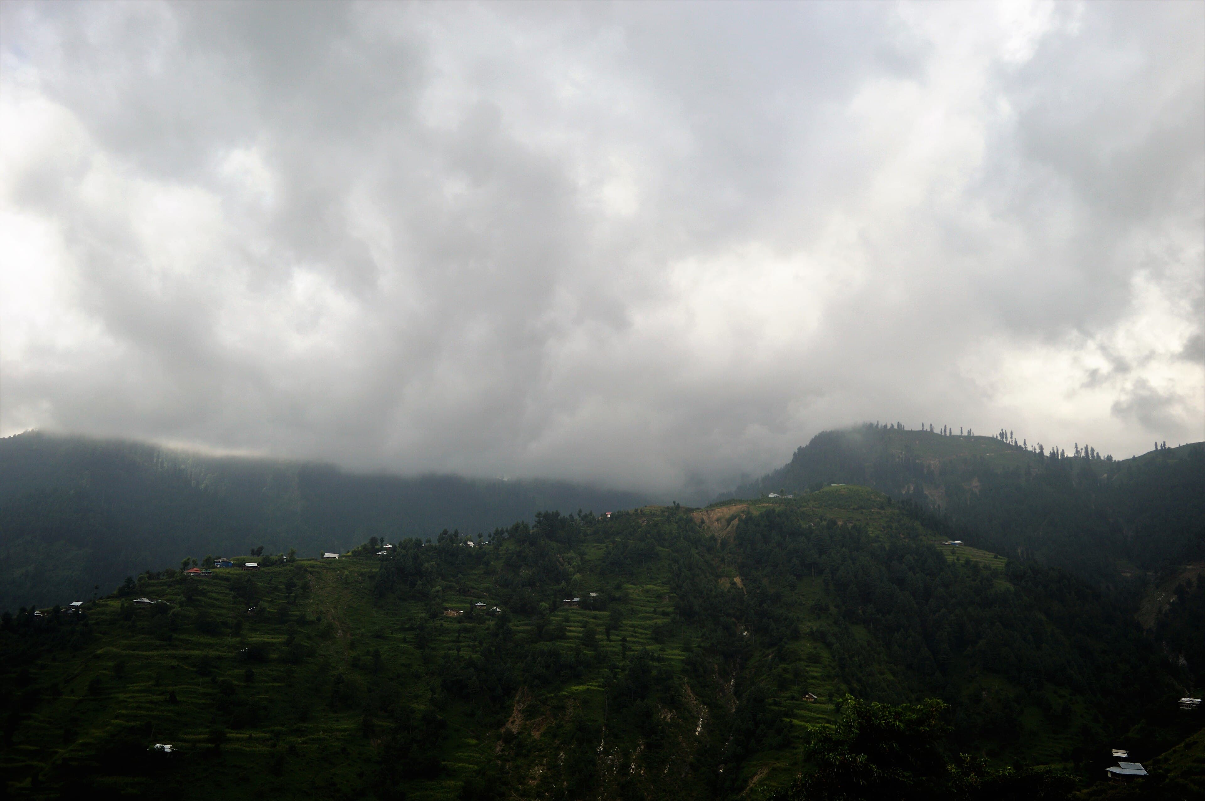
A fruit-orchard valley south of Muzaffarabad, known for its apple and walnut harvests and a more secluded feel than Neelum.
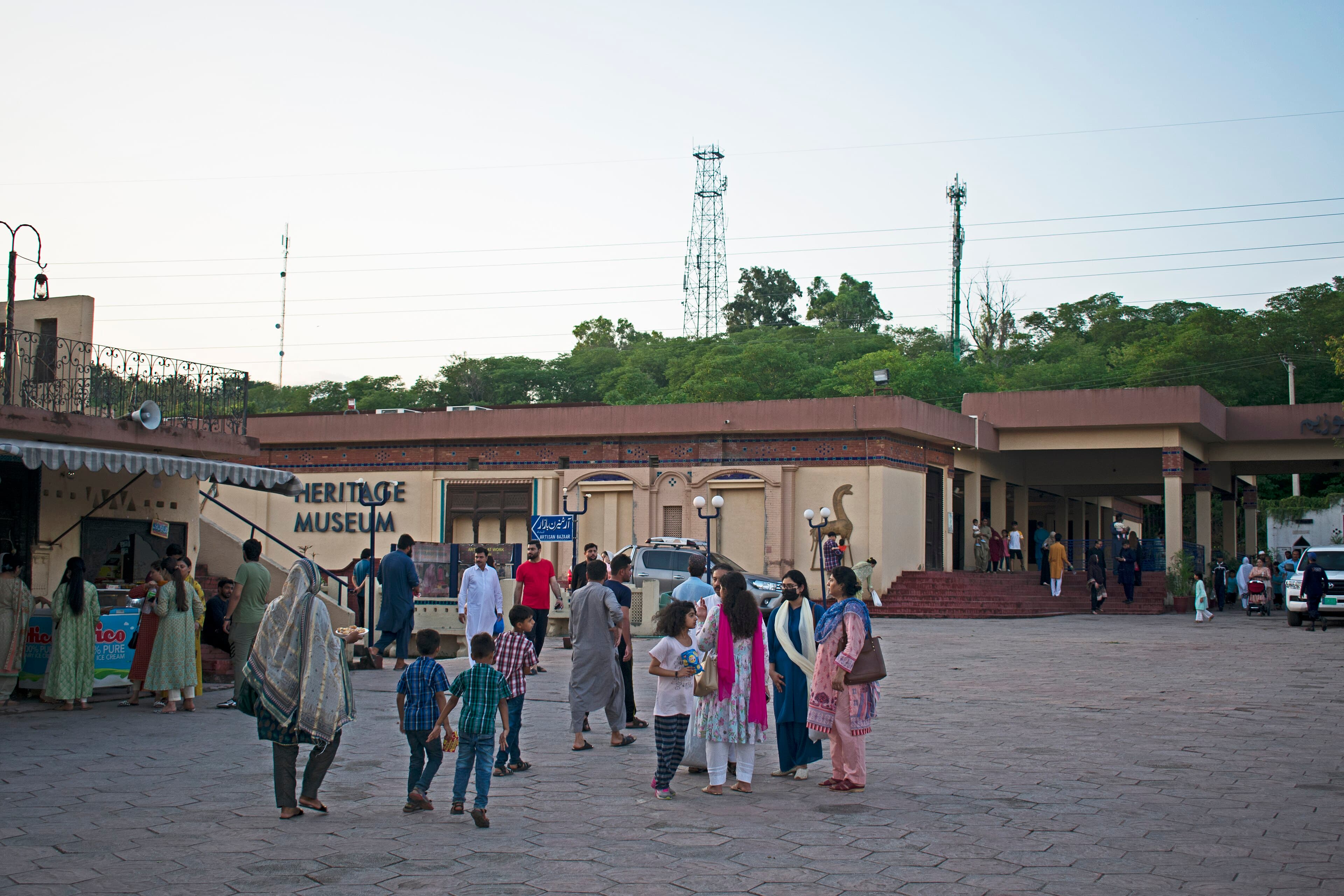
A national heritage museum in Islamabad documenting Pakistan's regional folk culture, crafts and traditions.
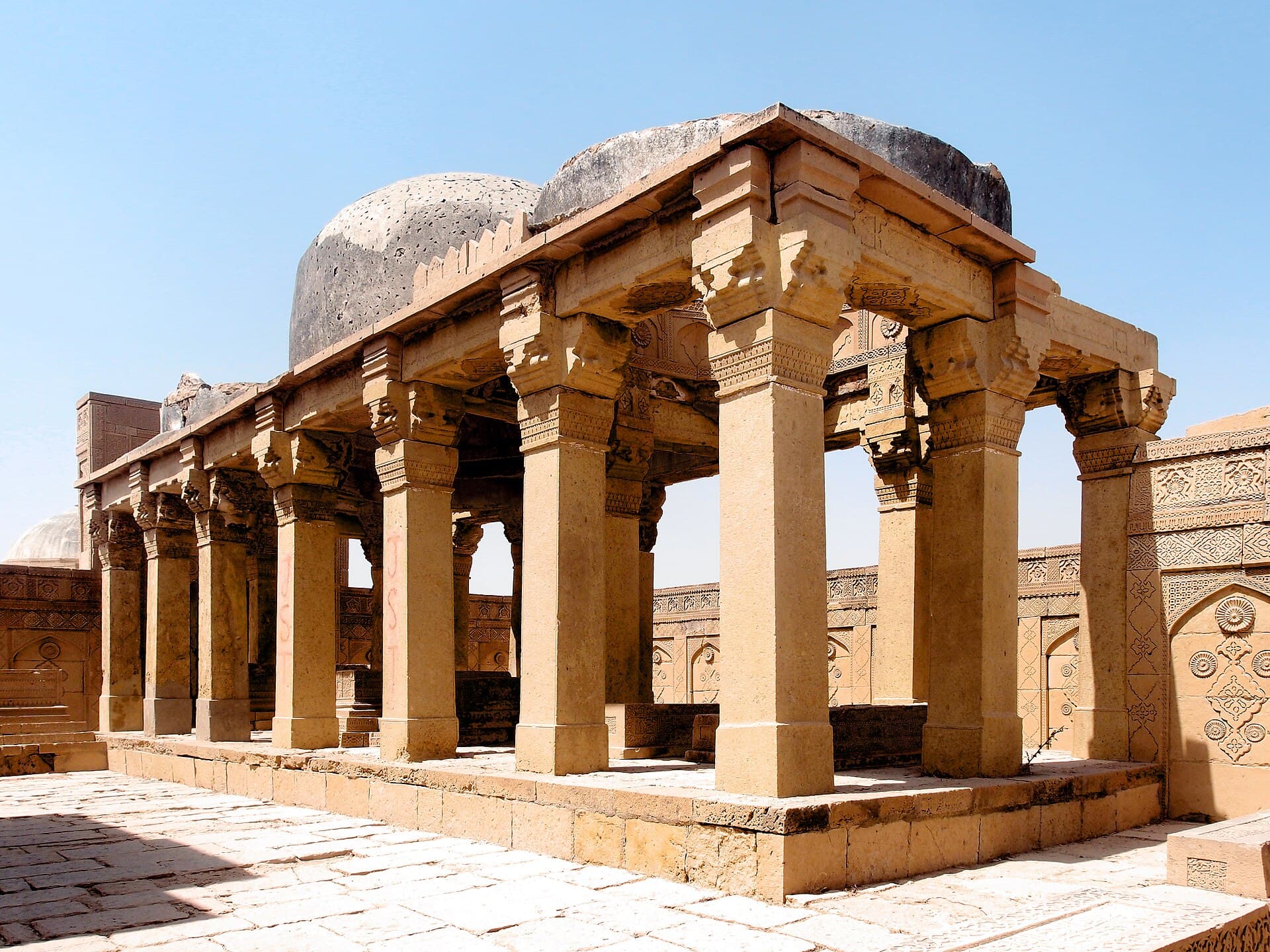
A vast funerary landscape of carved stone tombs above Thatta, inscribed by UNESCO in 1981.
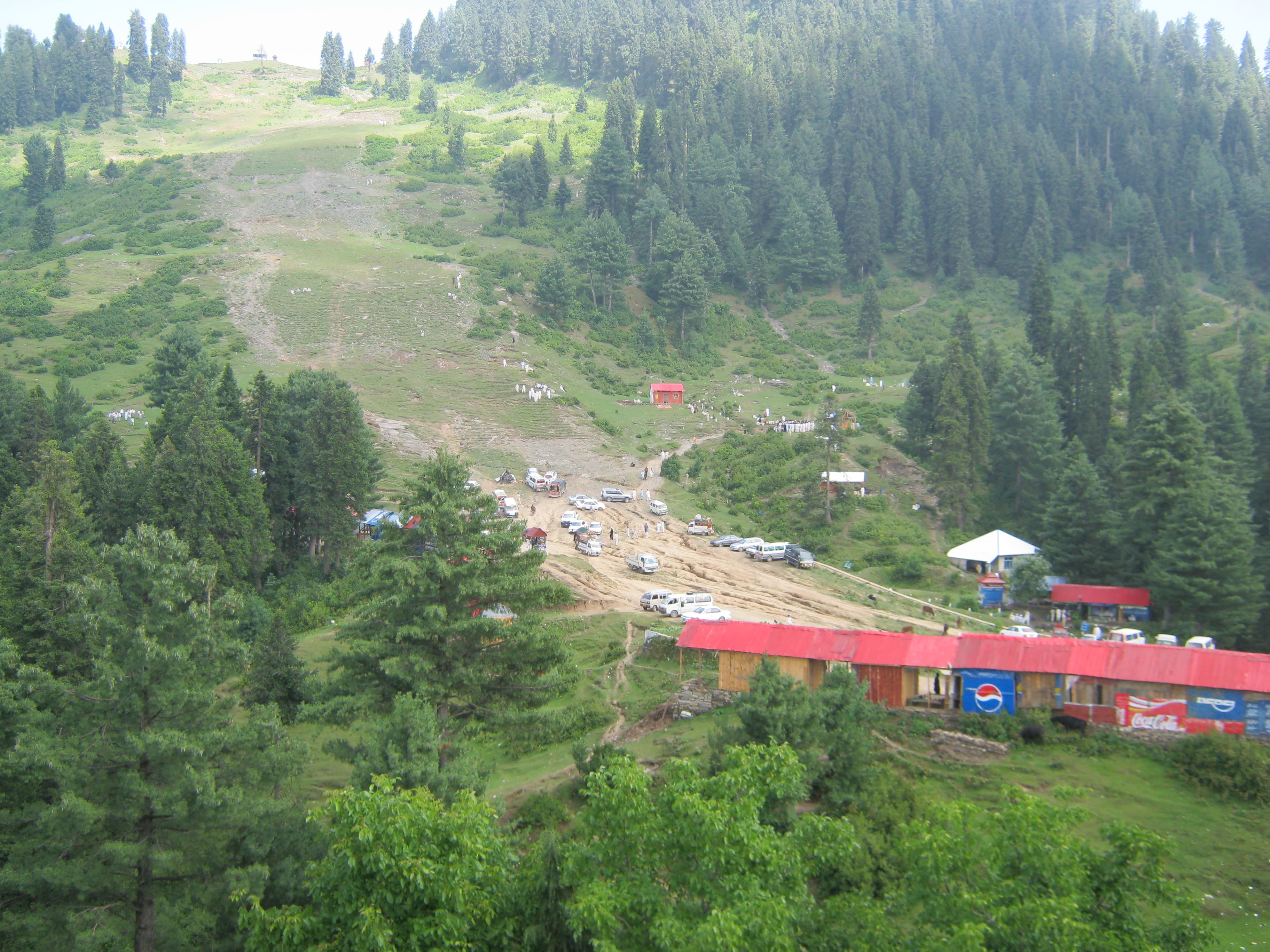
Pakistan's best-known ski resort, on a forested ridge above the Swat Valley.
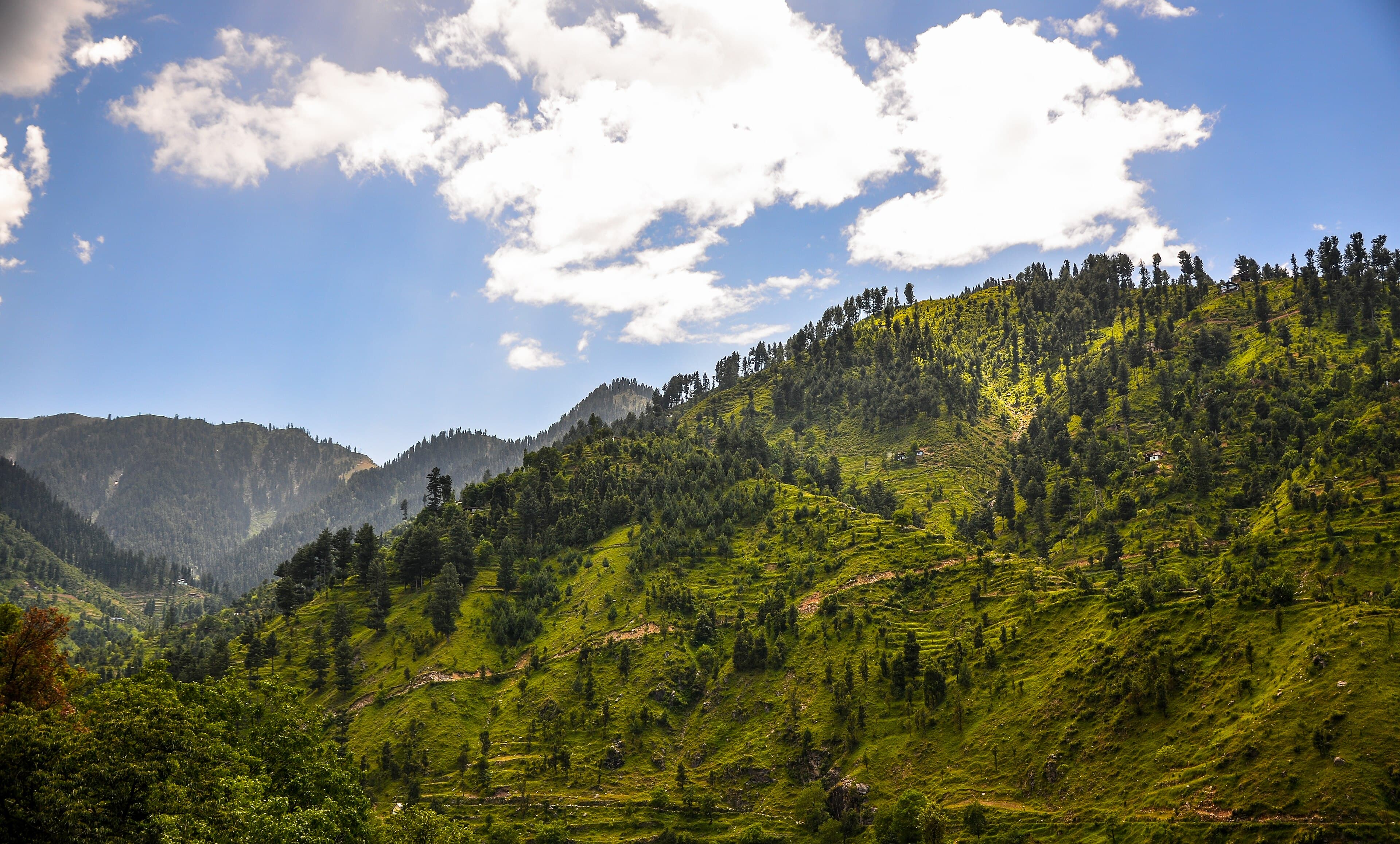
A lower-elevation Swat side valley known for a milder climate and terraced farmland, popular for shorter trips.
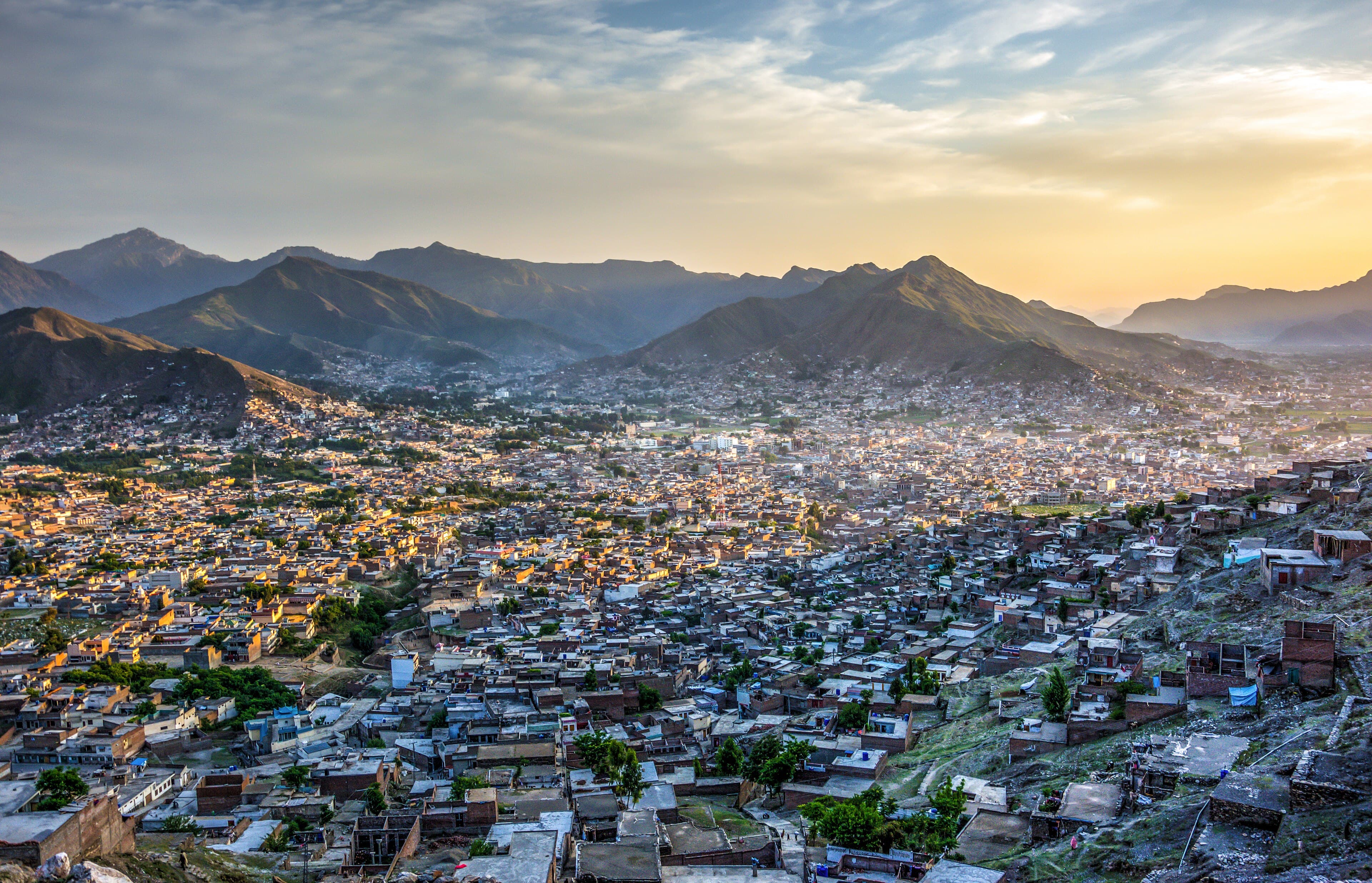
Swat's largest city and commercial centre, the usual entry point before heading up-valley toward Kalam.
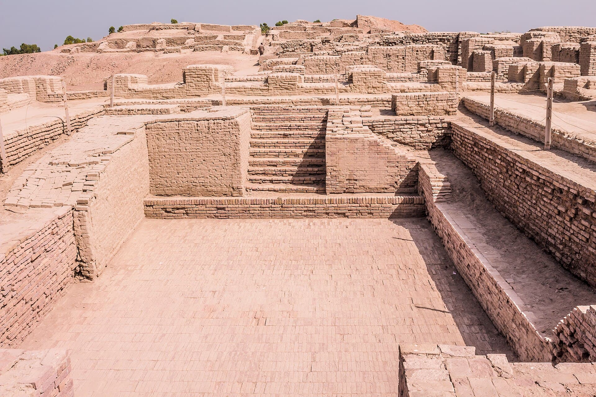
The largest excavated city of the Indus Valley Civilisation, inscribed as a UNESCO World Heritage Site in 1980.
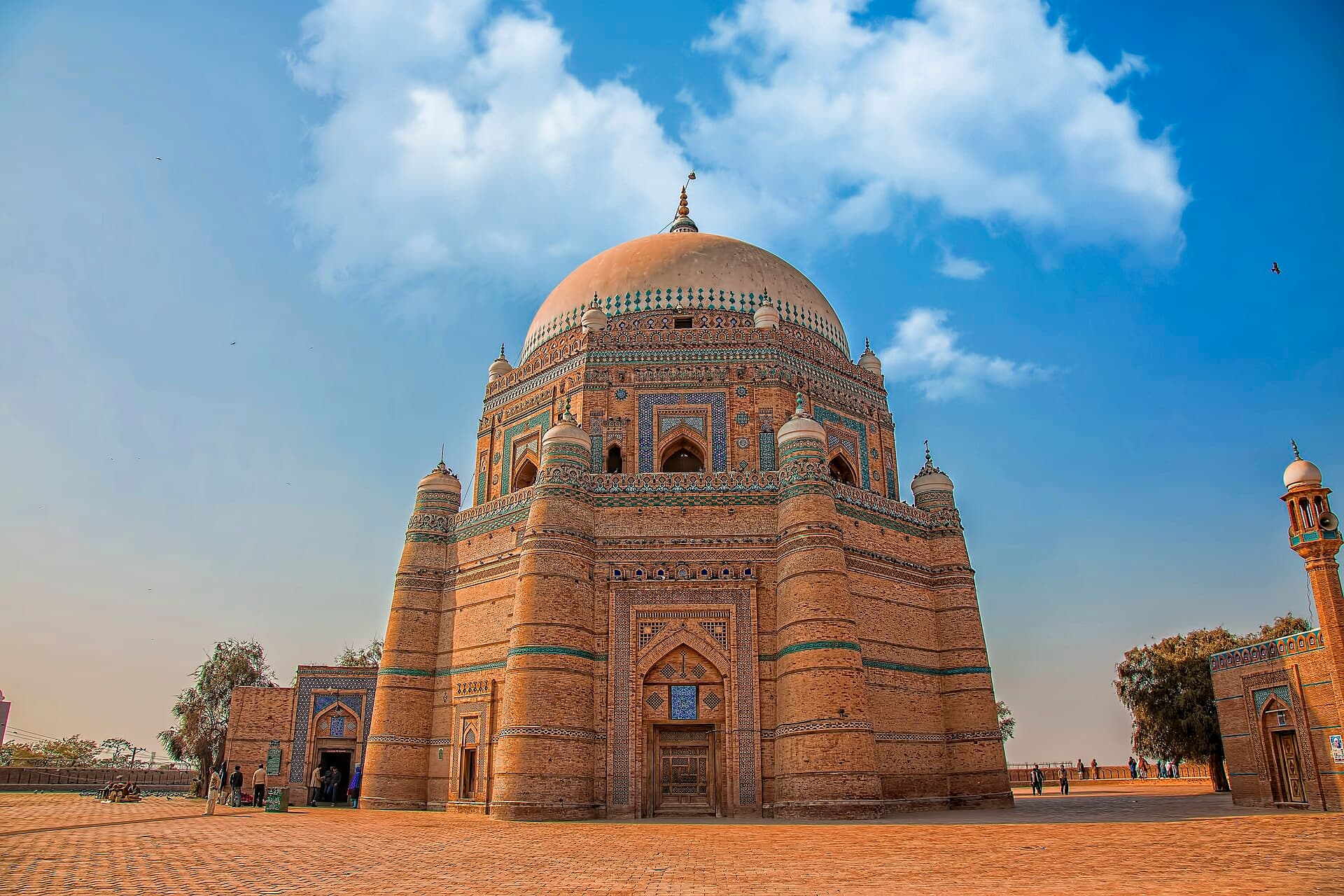
One of the oldest continuously inhabited cities in the region, known for its Sufi shrines and blue-tiled tombs.
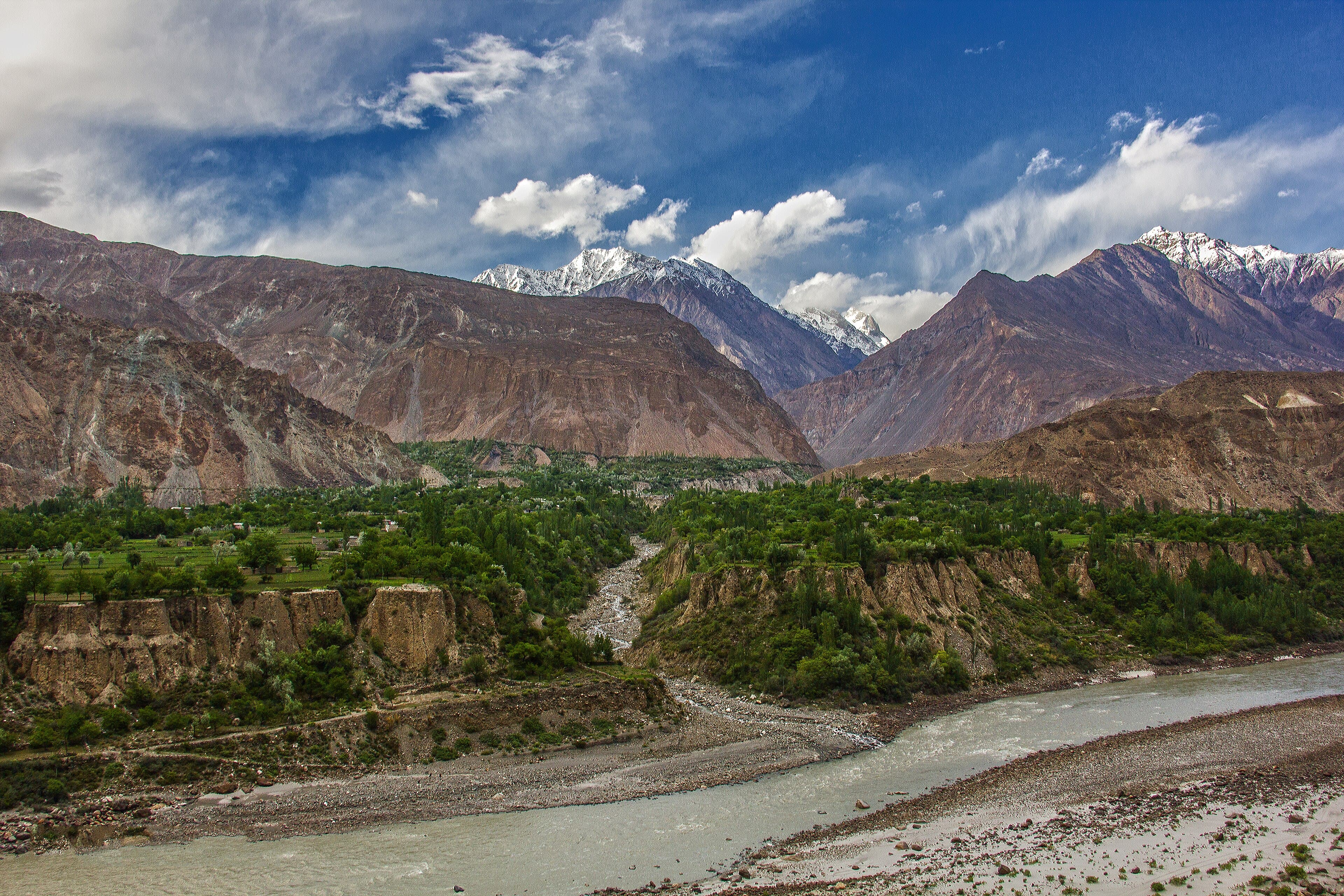
Hunza's neighbouring valley across the river, historically a separate princely state, with its own forts and orchard terraces.
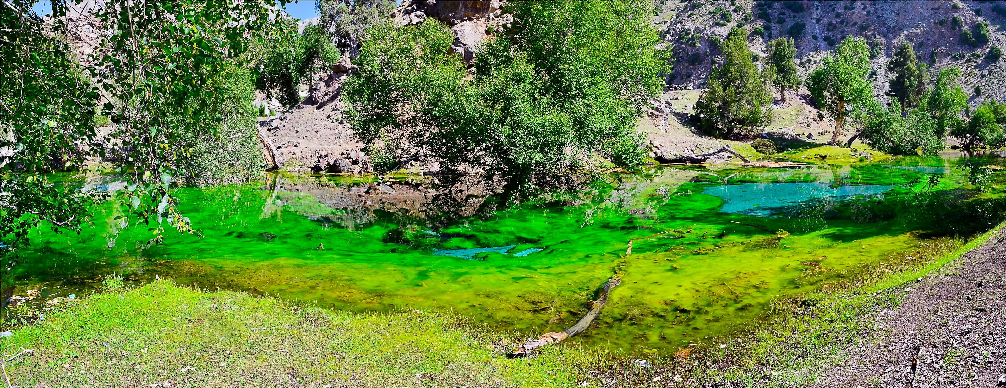
A side valley near Gilgit known for a cluster of small alpine lakes and a winter ski slope.
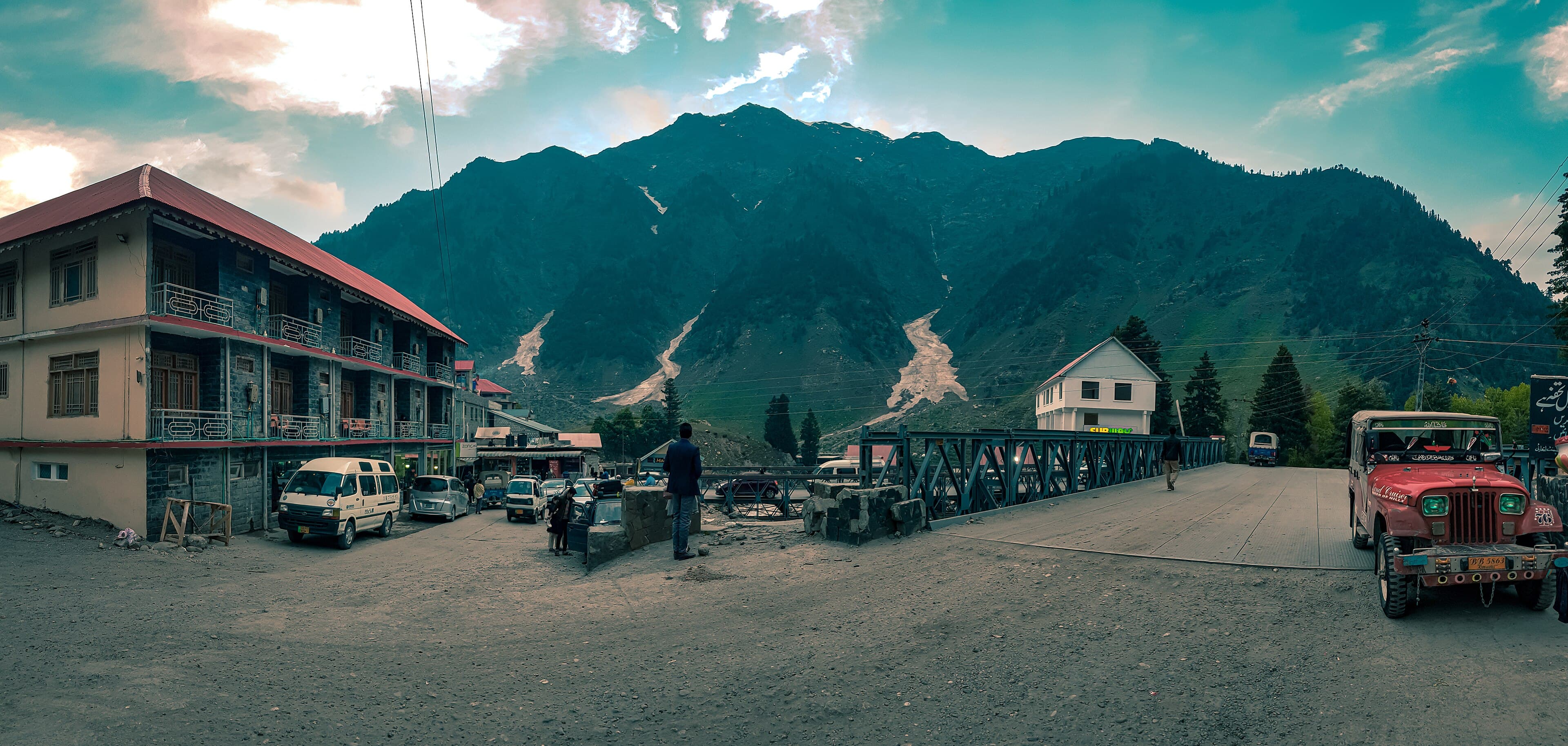
The main town of the Kaghan Valley, the usual base for Lake Saiful Muluk and Ansoo Lake.
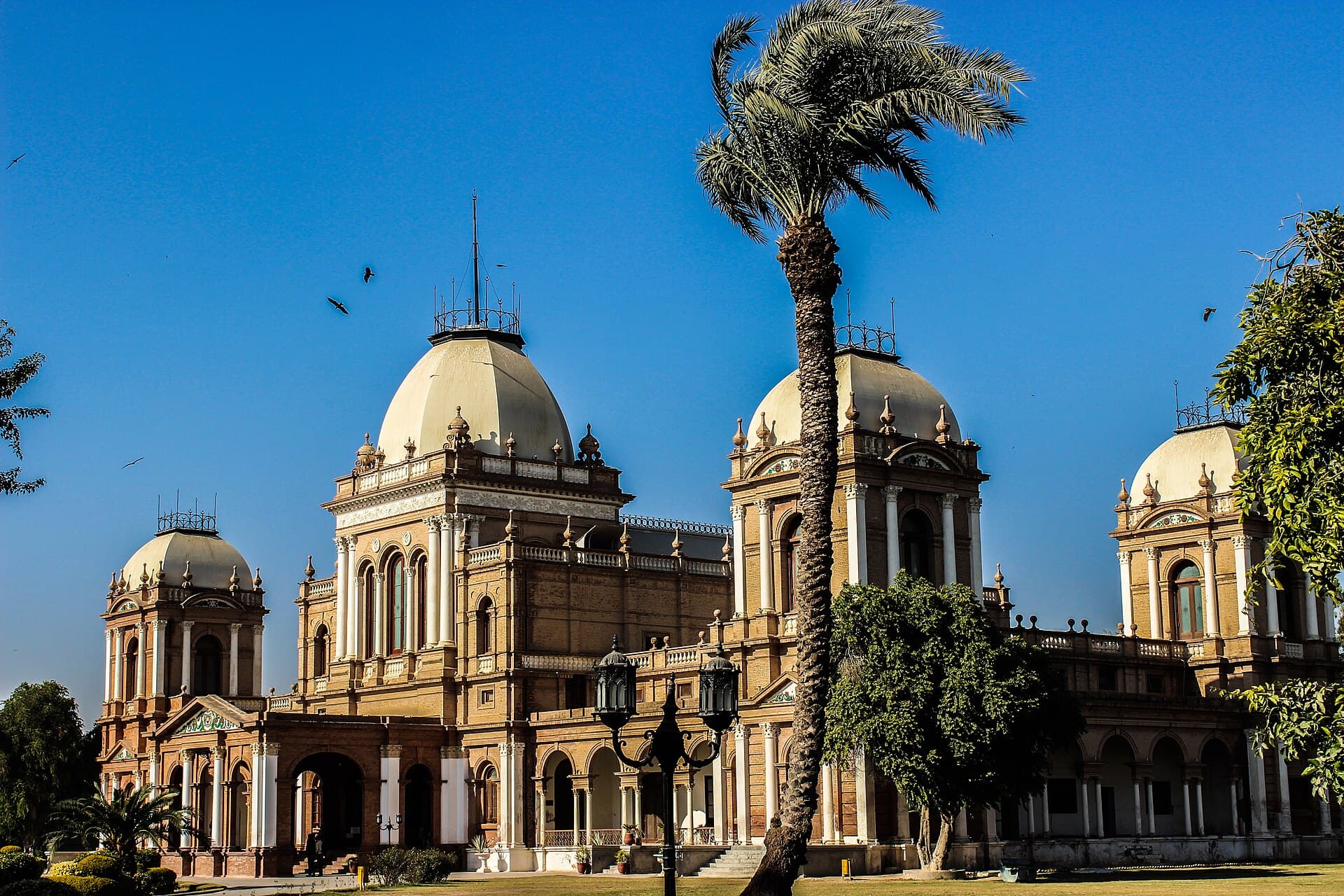
A nineteenth-century palace in Bahawalpur built in an Italianate style for the Nawab's household.
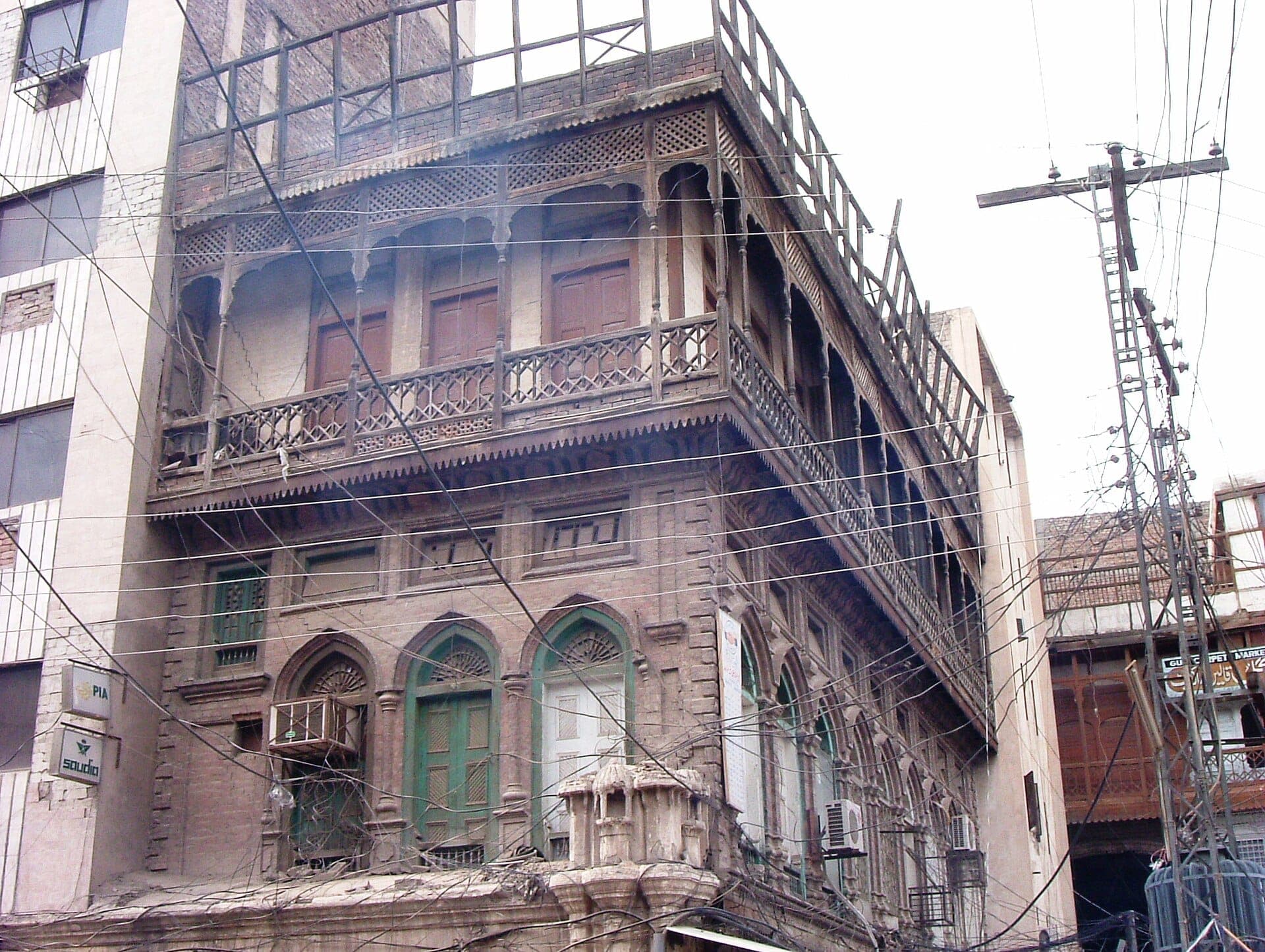
The walled old city of Peshawar — Qissa Khwani Bazaar, the Sethi houses and Mahabat Khan Mosque.
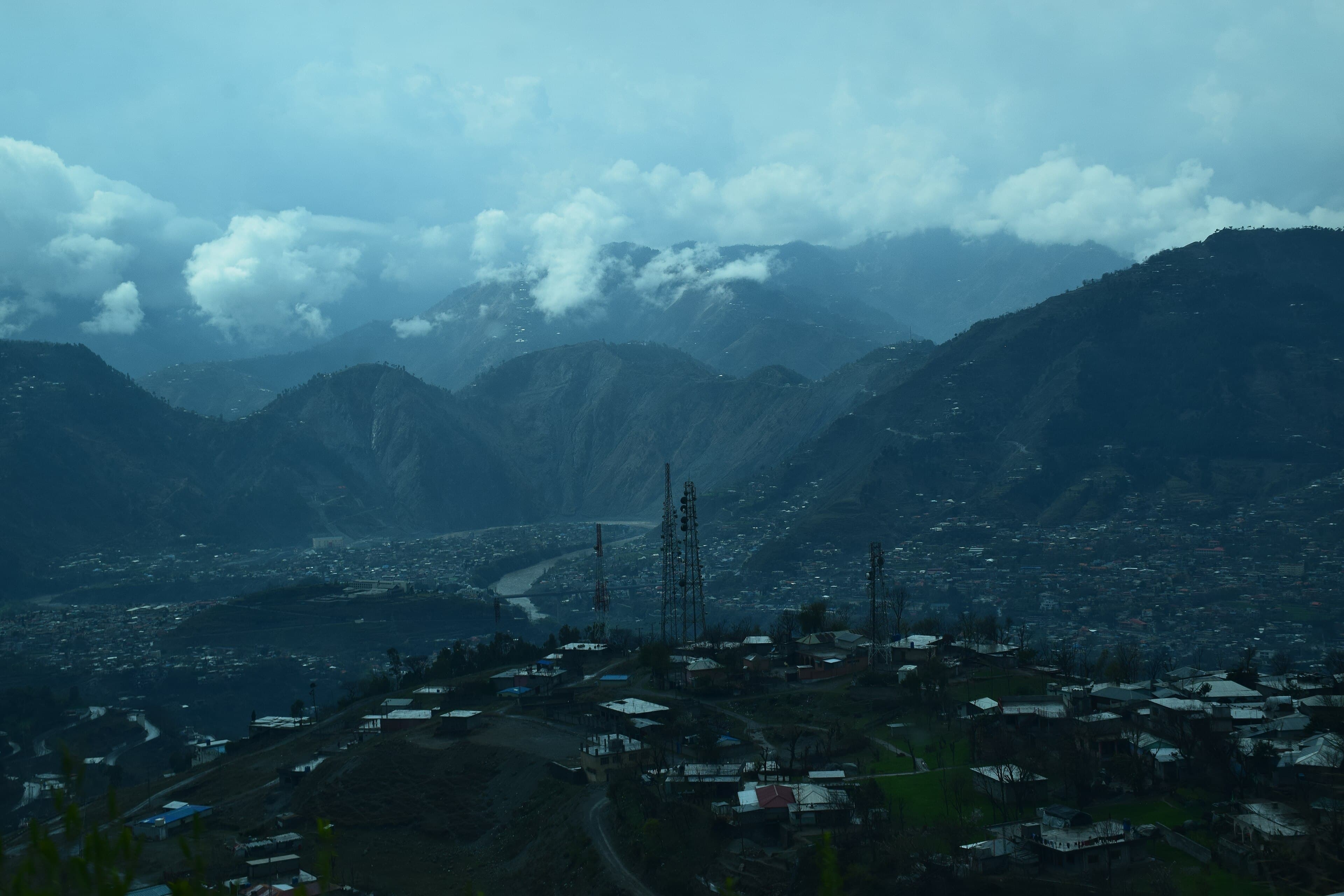
A mountaintop shrine and viewpoint above Muzaffarabad, reachable by road, with views over the city and surrounding hills.
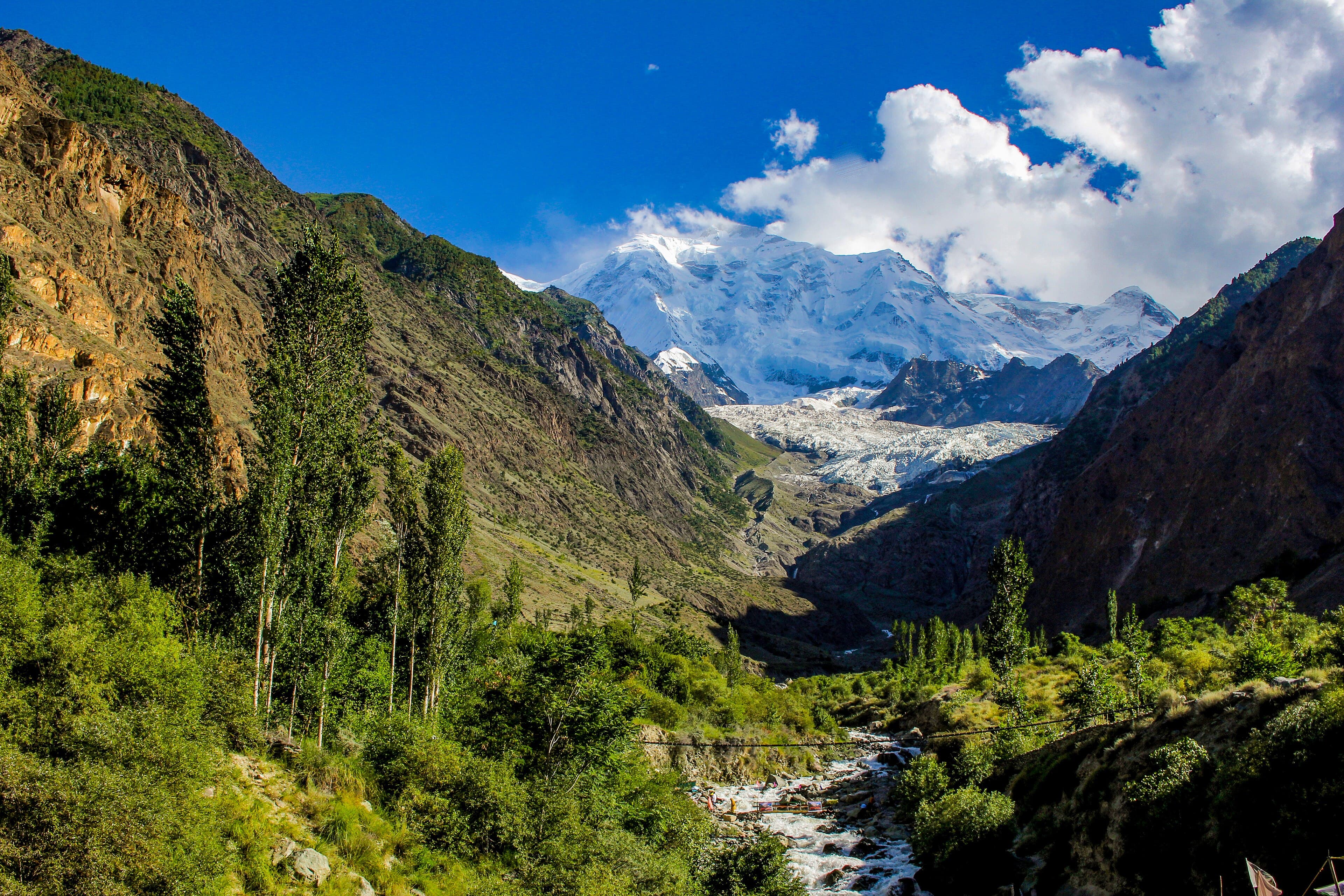
A well-known roadside stop on the Karakoram Highway with an unobstructed view of Rakaposhi's full height from base to summit.
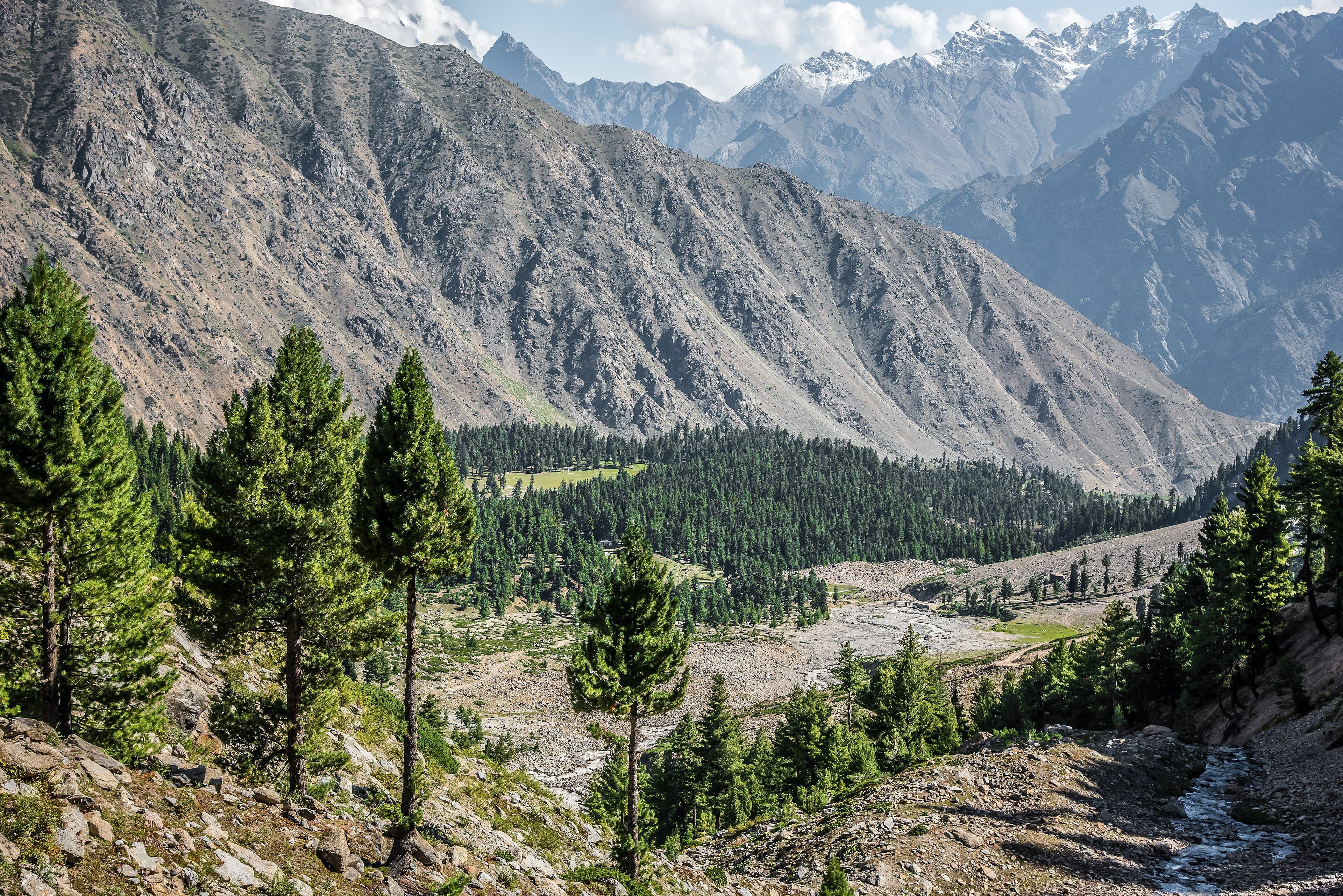
A pine-forest meadow above Astore facing Nanga Parbat's Rupal Face, a quieter counterpart to Fairy Meadows.
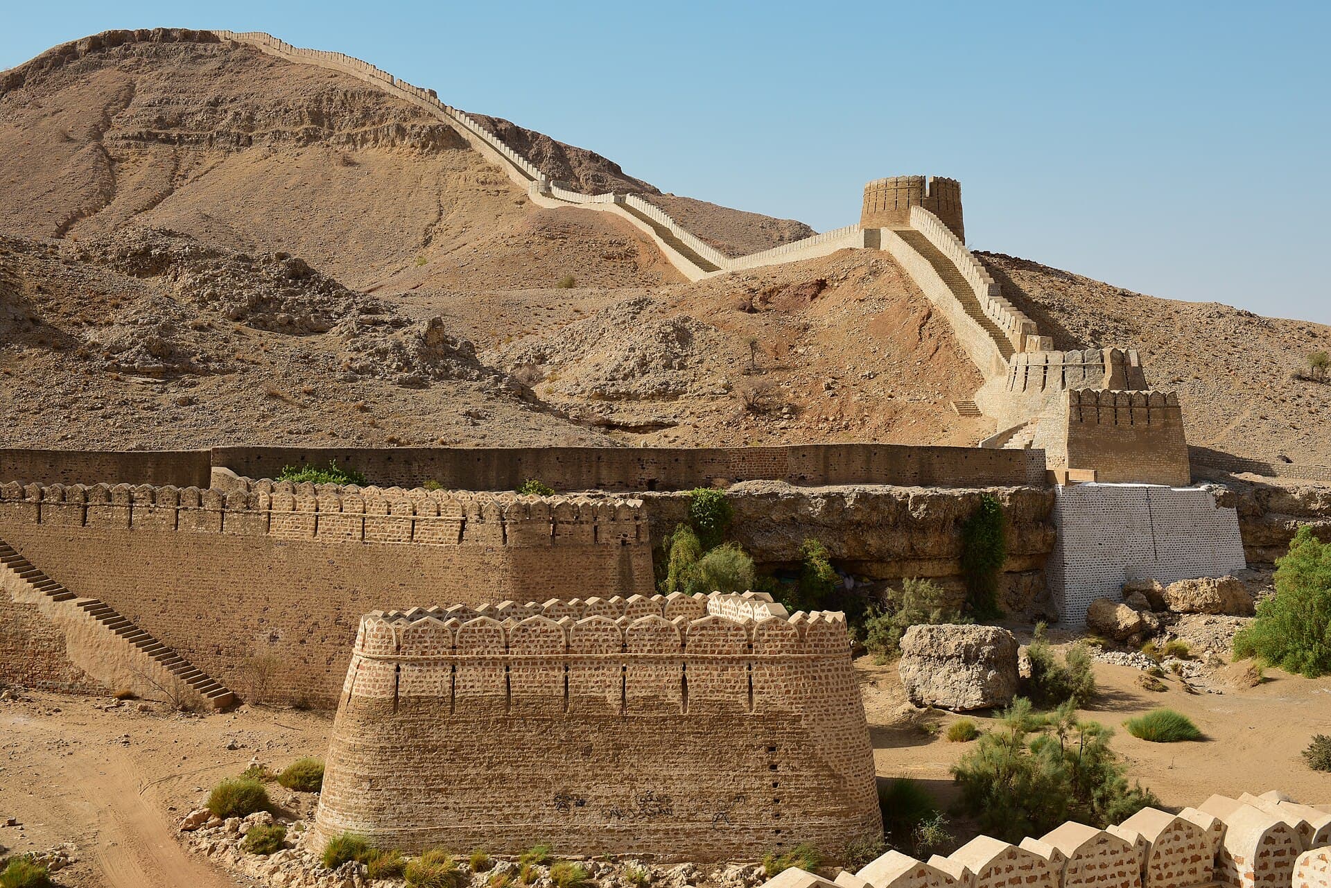
An enormous circuit of walls running over the Kirthar hills, often called the Great Wall of Sindh.
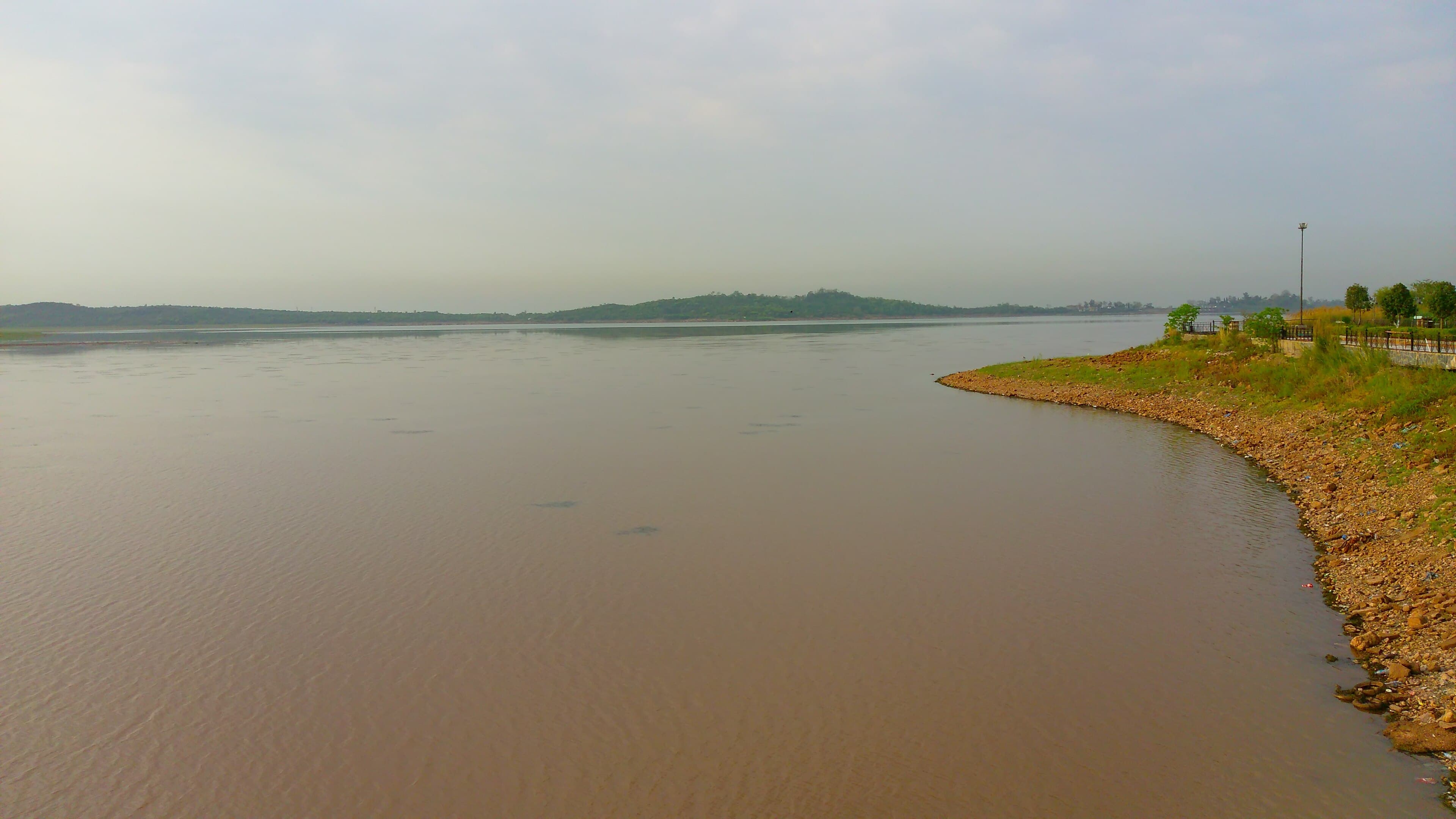
A reservoir lake on Islamabad's eastern edge, used for boating and as a green space bordering the Margalla foothills.
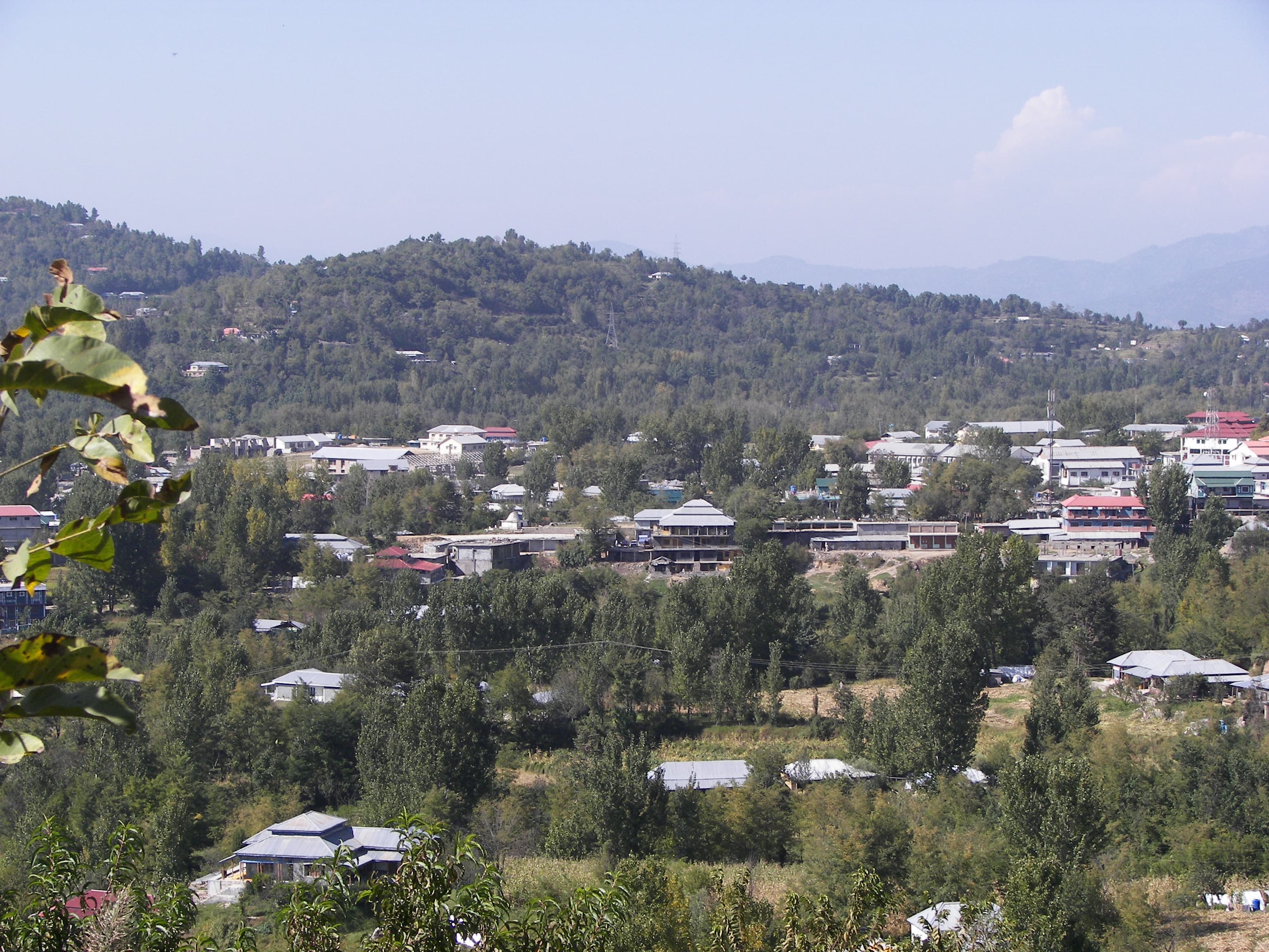
The main town of Poonch district, a hill station with pine forest and views toward the Pir Panjal range.
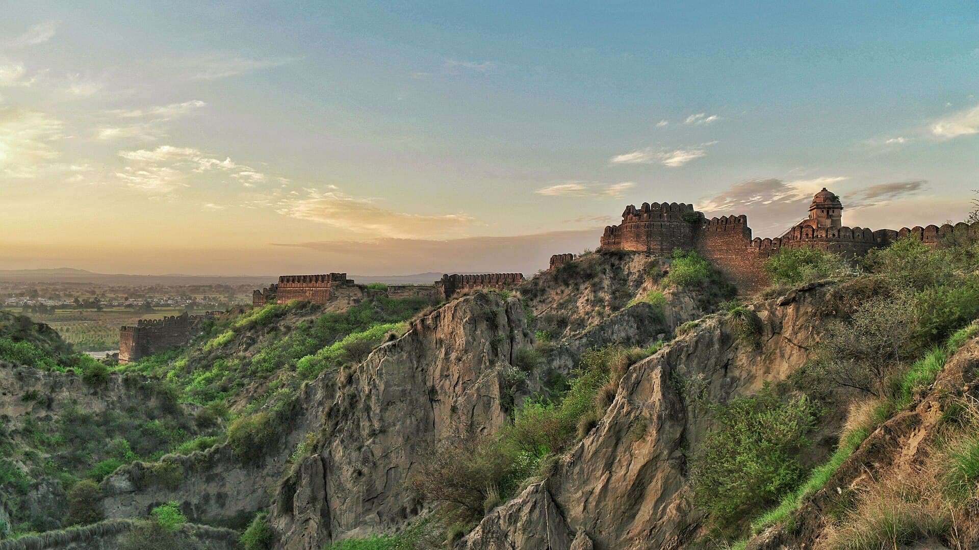
A sixteenth-century garrison fort above the Kahan river near Jhelum, a UNESCO World Heritage Site since 1997.
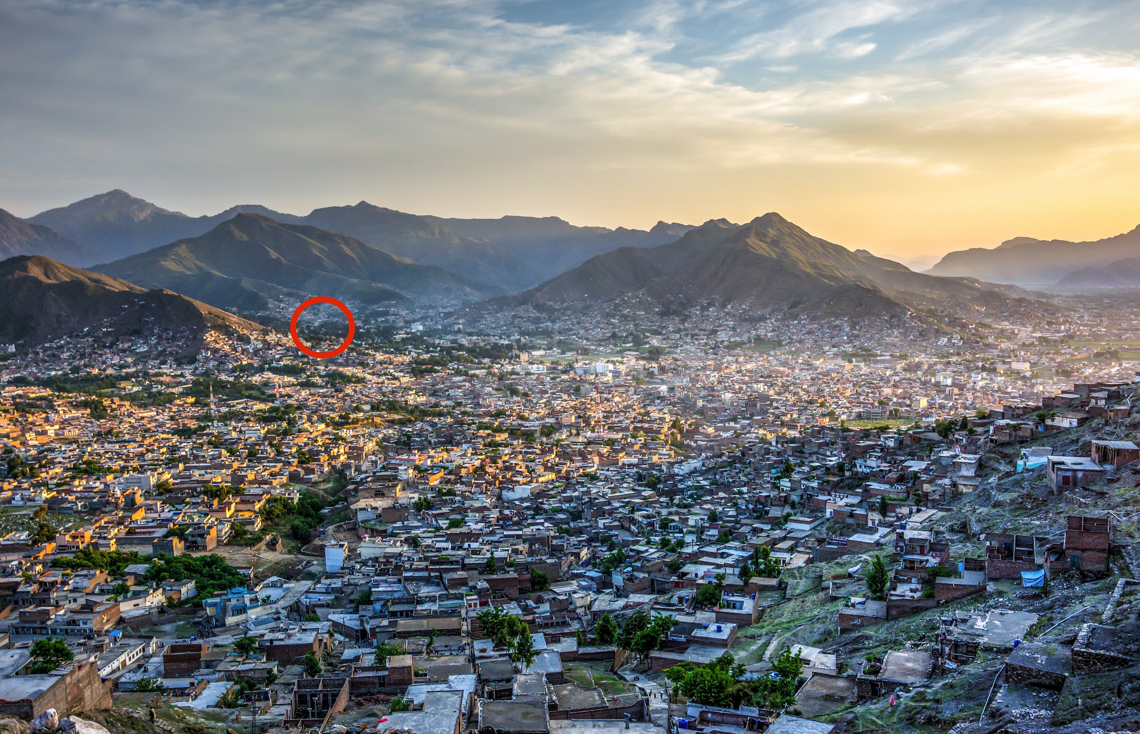
The former royal capital of Swat State, adjoining Mingora, with Buddhist-era archaeological sites nearby.
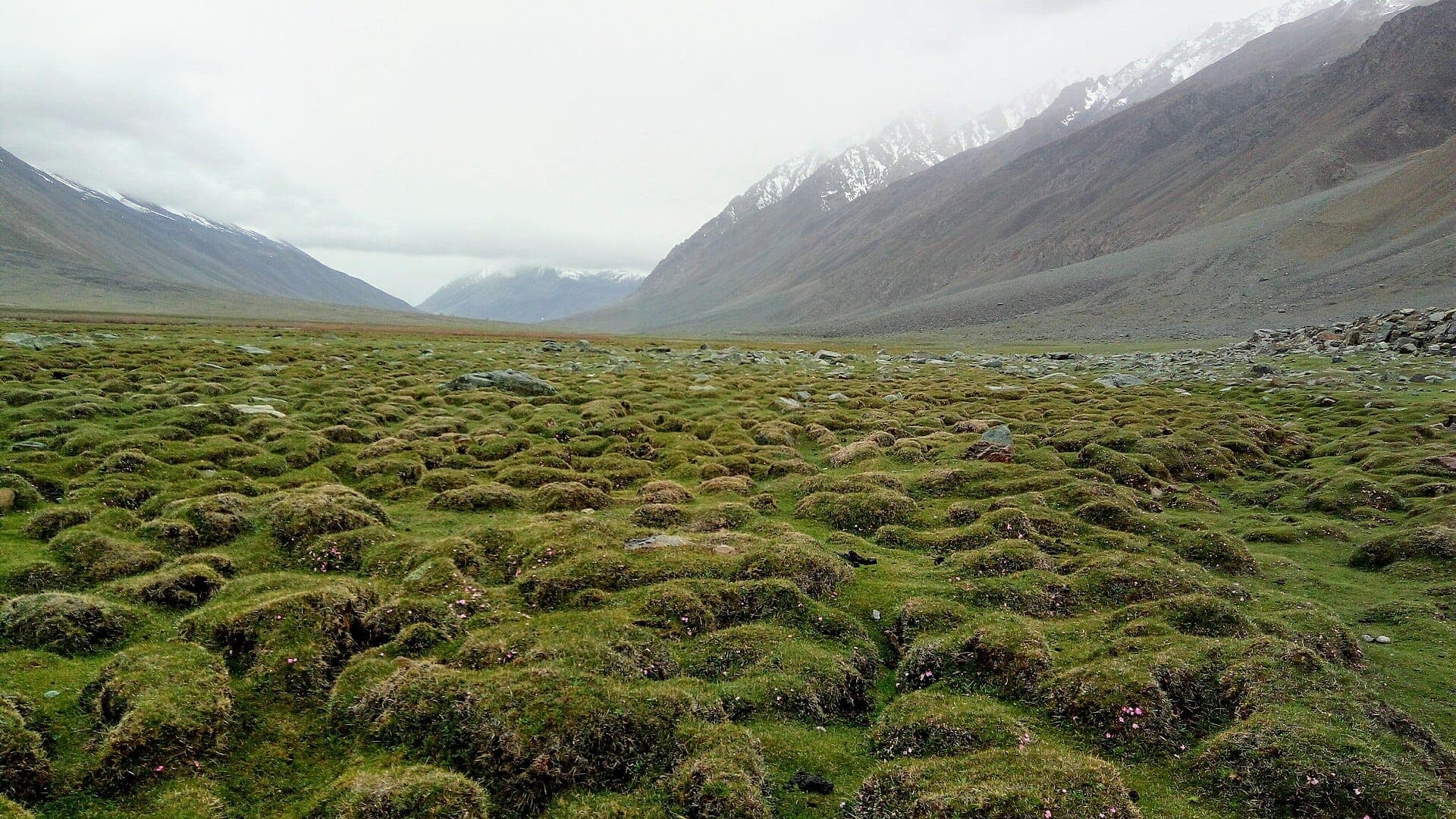
A high grassland pass between Chitral and Ghizer, holding the polo ground that gives it its name.
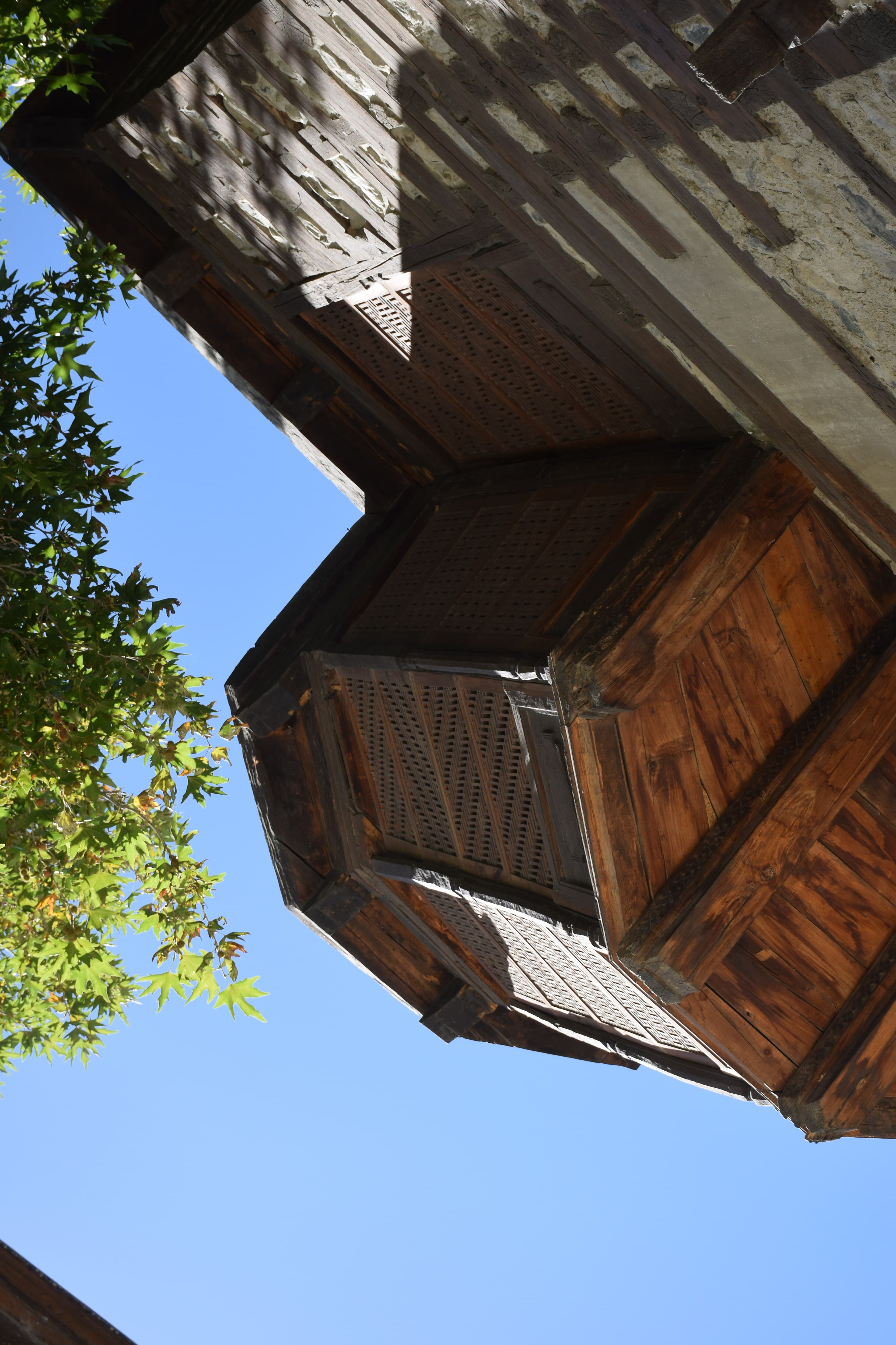
A restored former royal residence of the Amacha dynasty, now operating as a heritage guesthouse in Shigar town.
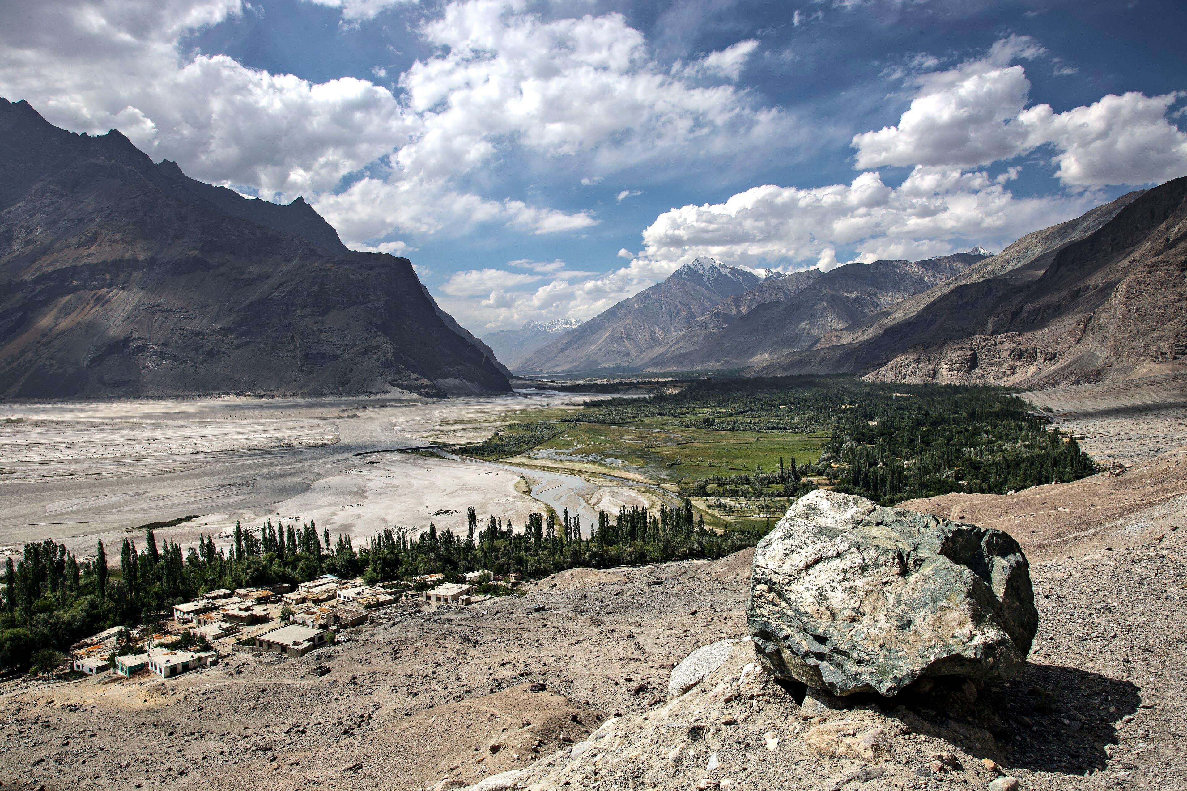
A fertile side valley near Skardu, historic gateway to the Baltoro Glacier expeditions and home to Shigar Fort.
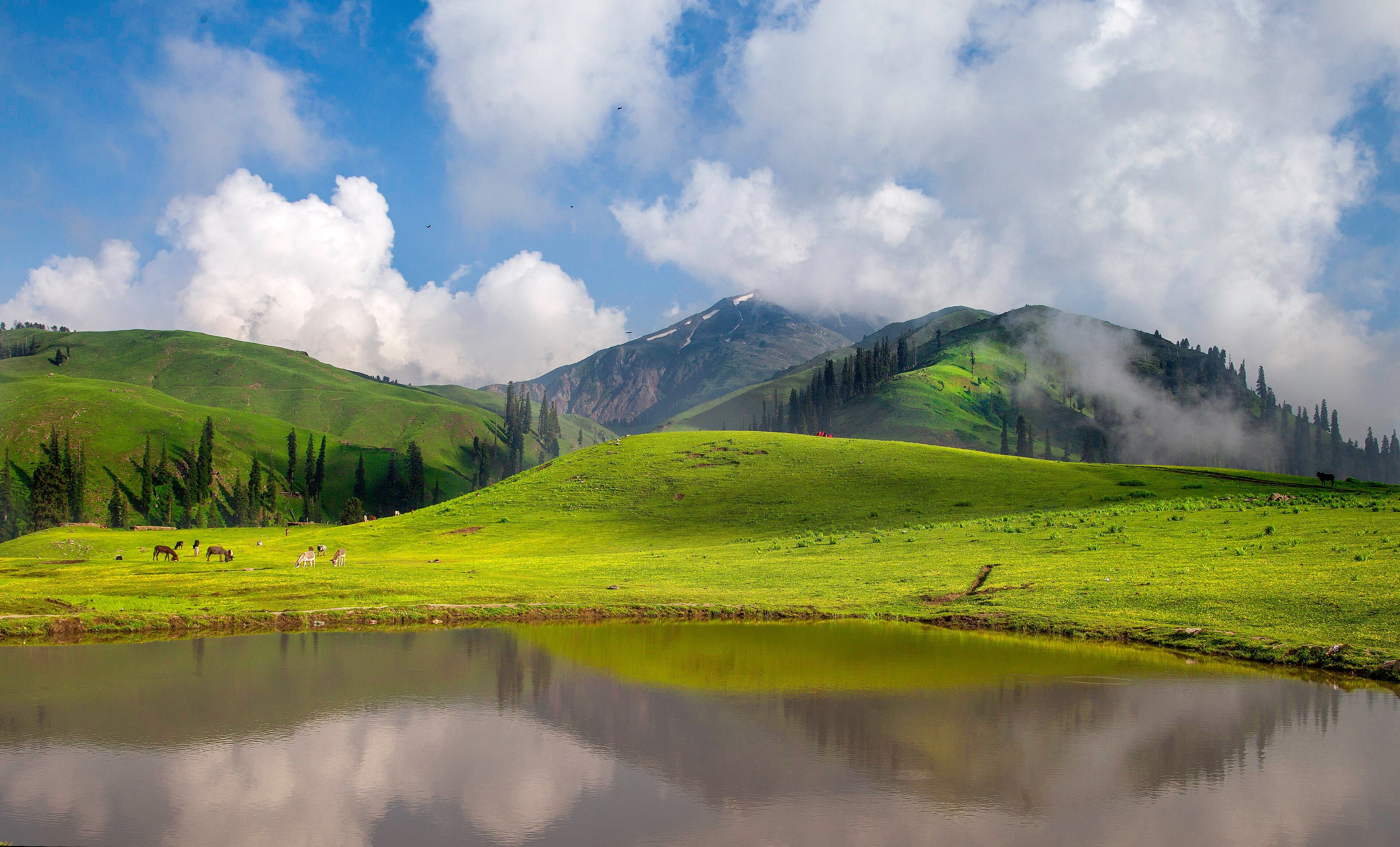
A hillside meadow station in the Kaghan Valley, the usual access point for Siri Paye.
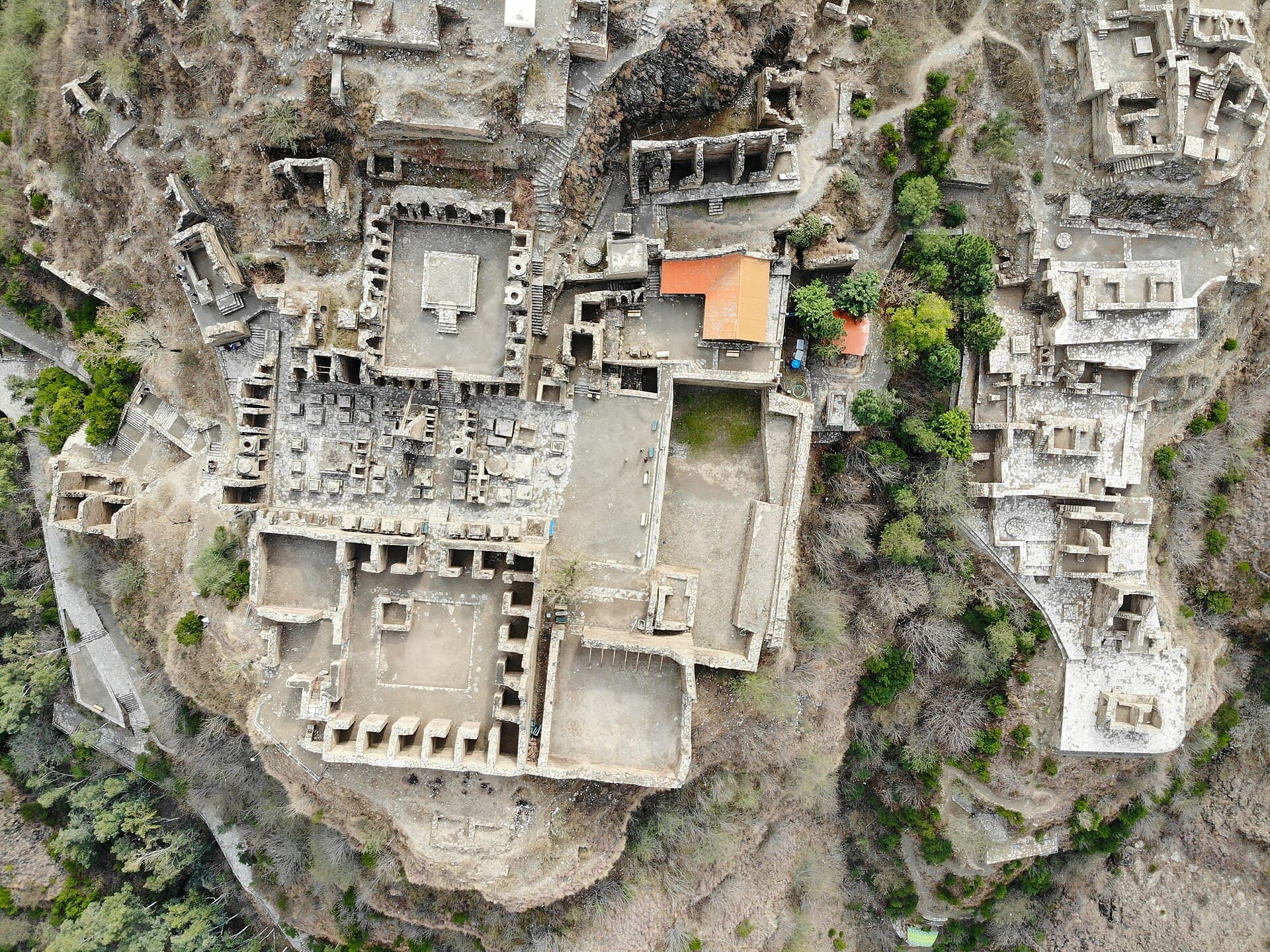
A hilltop Buddhist monastery complex near Mardan, inscribed as a UNESCO World Heritage Site in 1980.
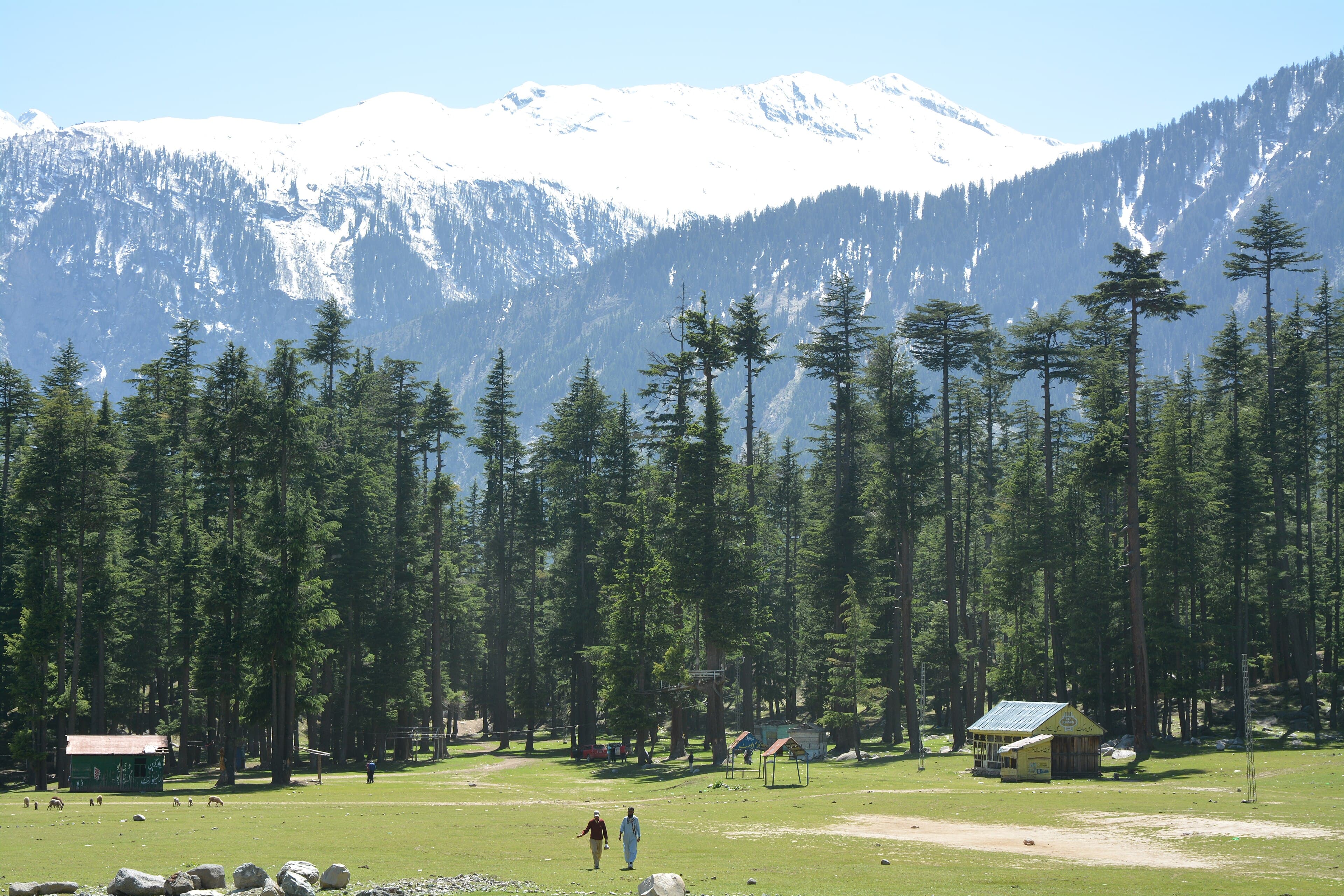
Dense pine forest along the Ushu Valley road between Kalam and Mahodand Lake.
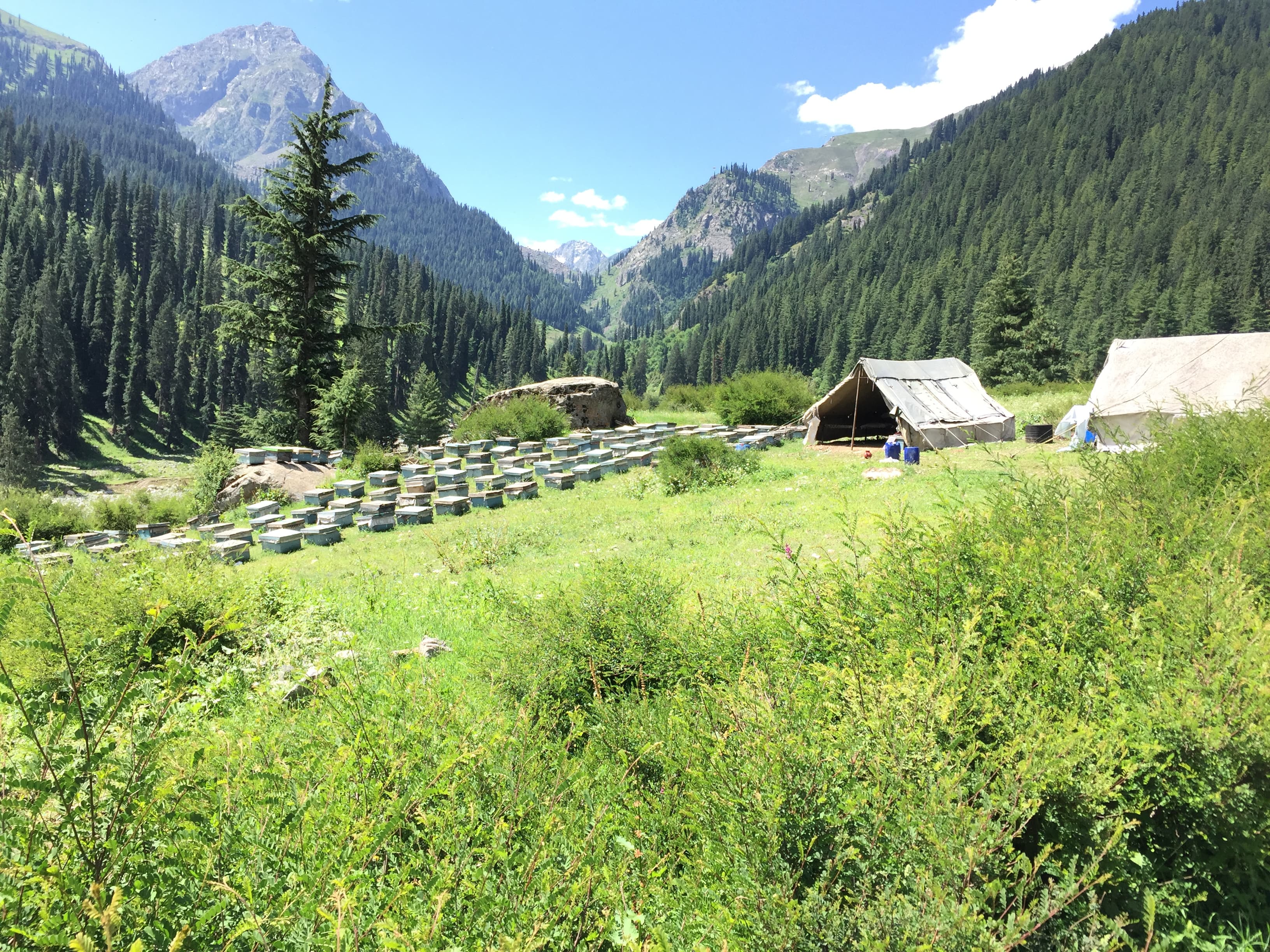
A side valley north of Kalam, the usual approach for Jahaz Banda meadow.
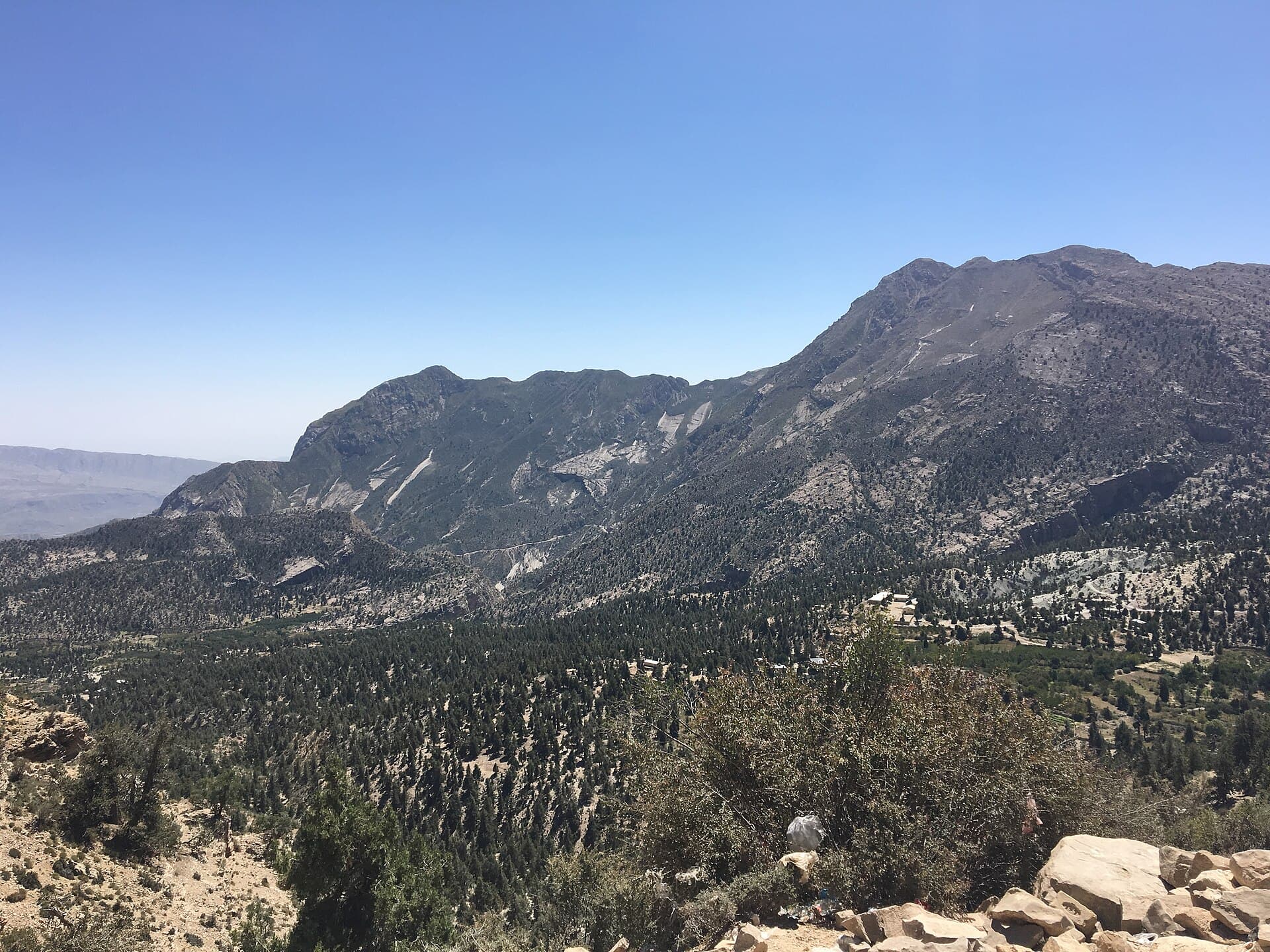
A juniper-forested hill town above Quetta, and the site of the Quaid-e-Azam Residency.