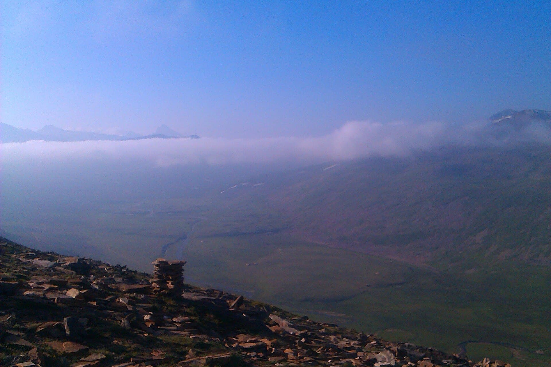
Rush Lake sits at roughly 4,694 m above the Hopper Glacier, and reaching it means several days of walking with a serious height gain on the final push. The route climbs from Hopper through pasture at Barpu and on to the moraine above, with Spantik and the Golden Peak in view for much of it. The lake itself is small and often part-frozen; the reason to go is the position — one of the highest lakes in the world that a walker can reach without technical climbing.
Landscape
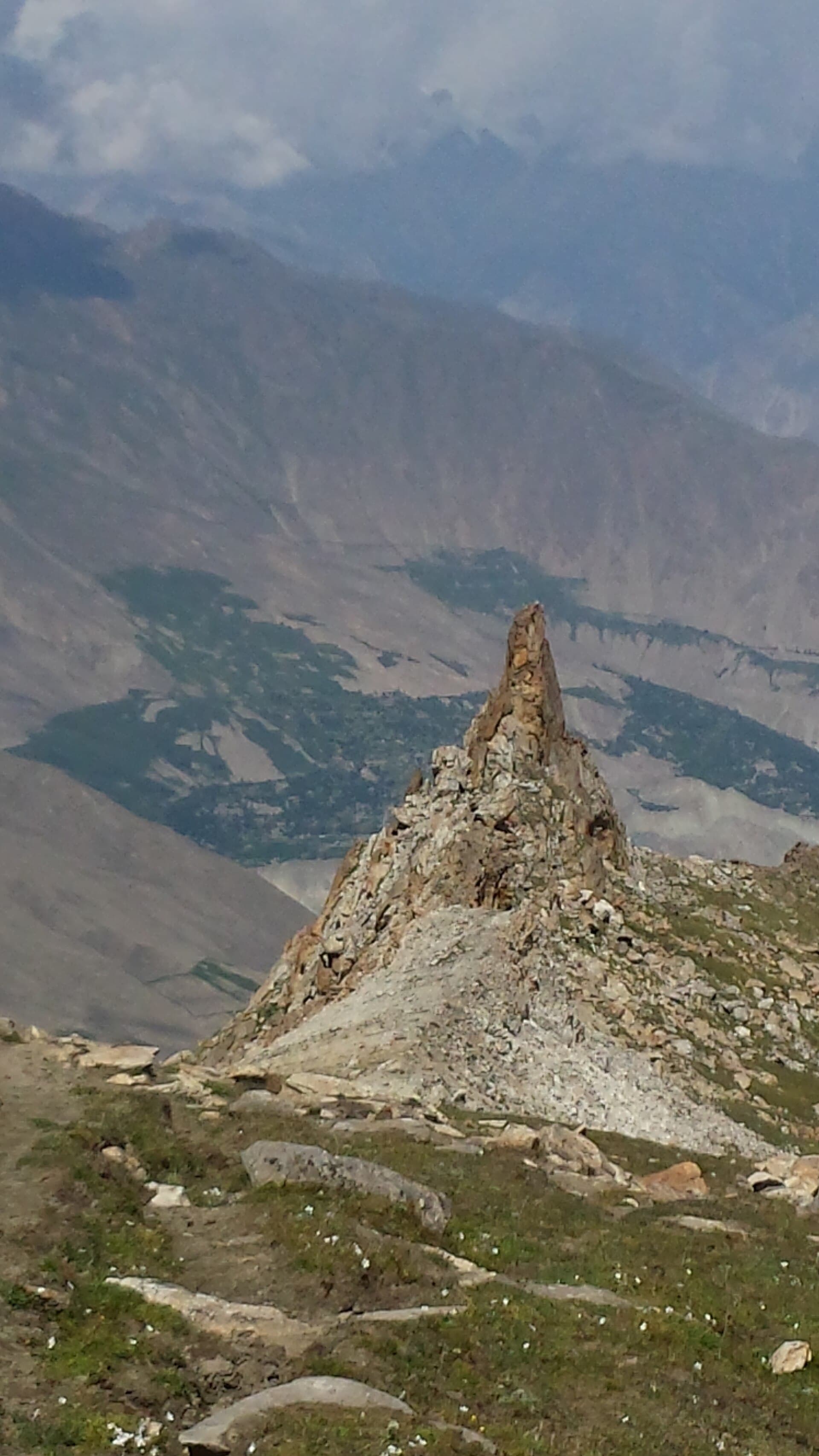
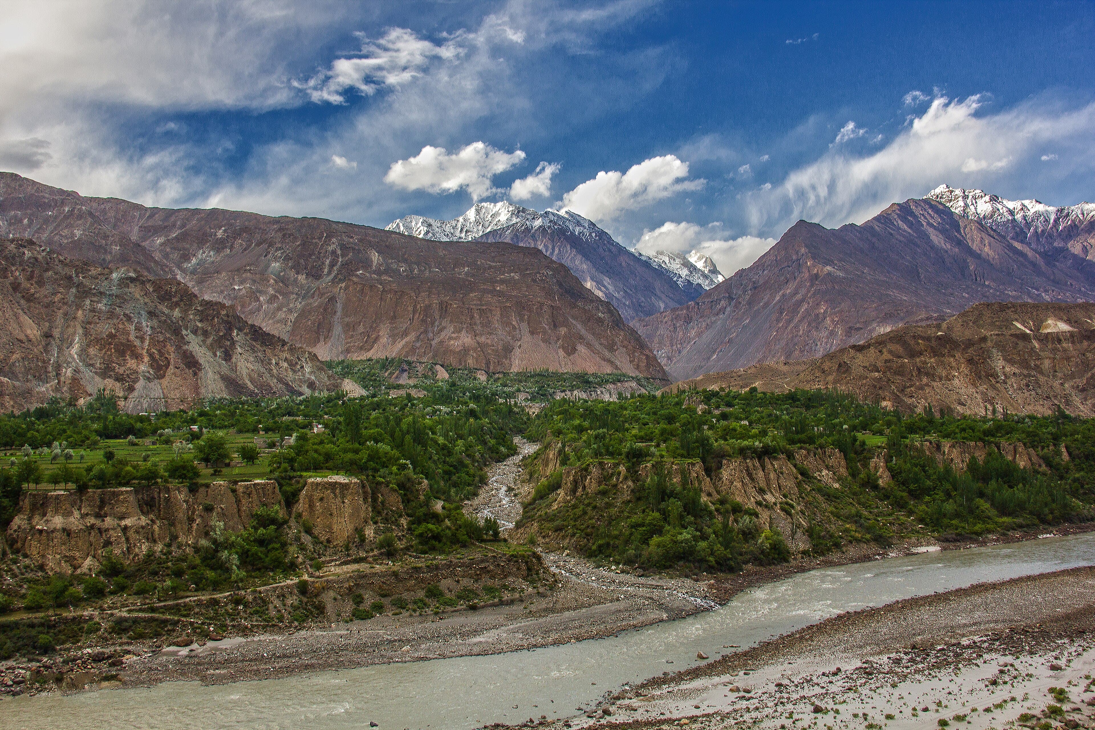
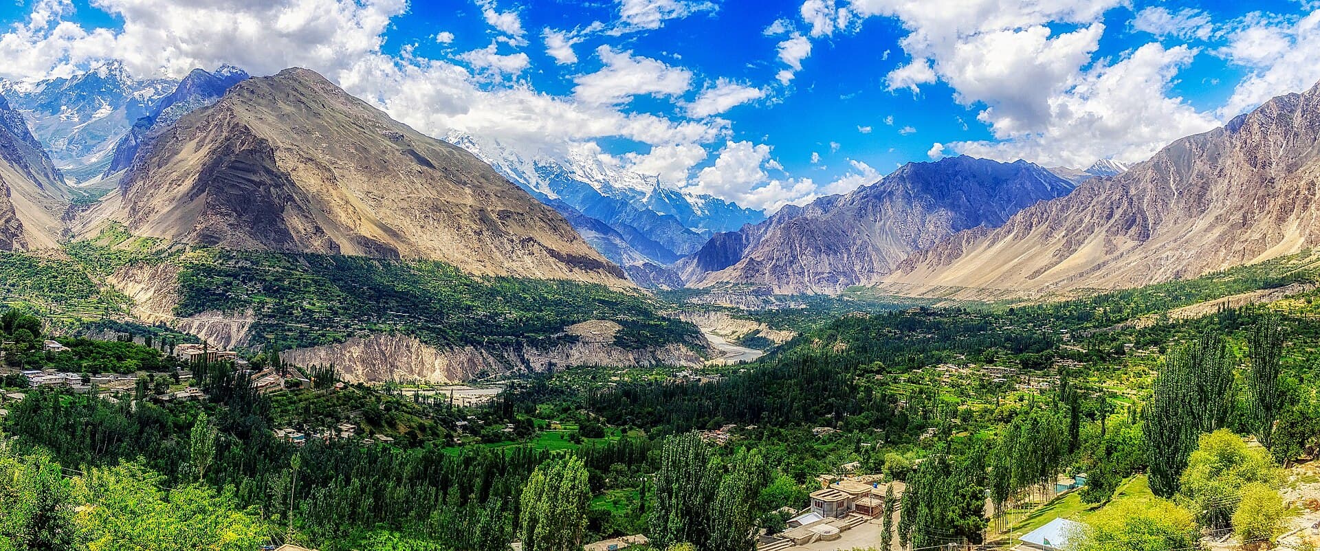
Summer pasture and juniper below, then glacier moraine, boulder field and high open ground beside a shallow alpine lake.
Suited to
Experienced trekkers who are already acclimatised and comfortable with several days of rough ground.
Starts at
Hopper (Hoper) village
Ends at
Rush Lake
Key highlights
One of the highest lakes reachable on foot
Views toward Spantik (Golden Peak) and Malubiting
Crossing the Hopper and Barpu glacier systems
High pasture at Barpu on the way up
Why this route
Why walk this one
Very few non-technical walks anywhere put you above 4,600 m with 7,000-metre peaks on the horizon. This is one of them.
Gallery
Photos
Every photo is real and credited — see the attribution section below for the full list.
The landscape
Along the Rush Lake Trek
Summer pasture and juniper below, then glacier moraine, boulder field and high open ground beside a shallow alpine lake.
Difficulty
How demanding is this trek?
Kohistan Journey's own editorial banding — not an official or standardised mountaineering grade.
ChallengingNeeds verification
Sustained days on moraine and boulder field, a glacier crossing, and a high point close to 4,700 m. Not technical in the climbing sense, but unforgiving of poor acclimatisation.
EasyExpedition
Assessed by
Kohistan Journey editorial assessment
Reviewer
Kohistan Journey editorial team
Last reviewed
Needs verification
What makes it this hard
Around 40 km over four days with roughly 2,200 m of ascent
Glacier crossing and extensive boulder-field walking
High point near 4,694 m
Very remote — a long way from any road or help
The published numbers for this route alone would suggest Expedition. The grade above reflects an editorial judgement as well — treat both as indicative and seek local advice.
Difficulty here describes the route in good conditions. Snow, high water, and weather can make any trek on this site significantly harder than its grade suggests, and none of those are tracked on this page.
Elevation
Elevation profile
An indicative shape of the climb, drawn from published route descriptions — not a surveyed GPS track.
Needs verification
View the profile as a table
Point
Distance
Elevation
Hopper
0 km
2,500 m
Barpu pasture
6 km
3,100 m
Upper moraine
12 km
3,900 m
Rush Lake
18 km
4,694 m
18 km shown · 2,500 m to 4,694 m. Indicative; the glacier section changes and the practical line varies year to year.
The route
Route summary
What the ground underfoot is like, and how the route is shaped.
StartHopper (Hoper) village
FinishRush Lake
Route shapeOut and back
RemotenessVery remote
Terrain you will walk on
Rocky trail
Moraine
Boulder field
Glacier ice
Meadow grass
Scree
Navigation
Trail map
Interactive mapping arrives with verified GPX tracks in a later phase.
Trail map coming in a later phase
We will publish a route line only once we have a GPX track we can stand behind. An approximate line drawn from memory would be worse than none on a route this remote.
Along the way
Route waypoints
The main points along the route in order. Timings are rough guides from published descriptions, not a schedule.
1
Hopper village
TrailheadNeeds verification
The roadhead above Nagar where the walking begins.
Elevation
2,500 m
From start
0 km
2
Hopper Glacier crossing
Glacier entryNeeds verification
The route crosses the glacier — the point where a guide stops being optional in most groups.
Elevation
2,800 m
From start
3 km
From previous point
One to two hours
3
Barpu pasture
CampsiteNeeds verification
Summer grazing ground, commonly used as the first camp.
Elevation
3,100 m
From start
6 km
From previous point
Around half a day from the trailhead
4
Upper moraine camp
CampsiteNeeds verification
A higher, rockier camp used to break the final climb.
Elevation
3,900 m
From start
12 km
From previous point
A full day's walking
5
Rush Lake
DestinationNeeds verification
A shallow, often part-frozen lake on open high ground beneath Rush Peak.
Elevation
4,694 m
From start
18 km
From previous point
Most of a day, climbing steadily
Timing
When to walk this route
General seasonal patterns only. Snow cover, river levels and pass openings vary year to year and are not tracked here.
Spring
Usually inaccessible
Deep snow at the high point.
Summer
Recommended
The only reliable window.
Autumn
Limited
Early autumn only; conditions close in fast.
Winter
Usually inaccessible
Preparation
Planning notes
General planning guidance for this route. None of it describes current conditions.
Altitude and acclimatisation
Arriving at 4,694 m without prior acclimatisation is asking for trouble. Most itineraries build in nights at Barpu and on the upper moraine specifically for this reason.
Navigation
Moraine and boulder field carry no reliable path, and the glacier crossing changes. A guide who knows the current line is worth far more than a map here.
Water
Meltwater is available along most of the route but must be treated.
Camping
All camping is wild. Choose ground away from meltwater channels and carry every scrap of waste out.
Risks
Hazards to plan for
General hazards inherent to this kind of route. This is preparation guidance, not a live conditions report or a substitute for local advice.
Altitude sickness
AltitudeSerious severityNeeds verification
Above roughly 2,500 m, altitude sickness becomes a genuine possibility regardless of fitness. Headache, nausea, poor sleep, and breathlessness are common early signs, and they can progress to conditions that are life-threatening.
Preparing for it: Ascend gradually, build in rest days, drink plenty of water, and descend if symptoms worsen. This is general awareness — talk to a doctor about your own situation.
Glacier travel
Glacier travelSerious severityNeeds verification
Glacier surfaces move, and crevasses can be hidden under snow. Moraine alongside the ice is unstable and rockfall is common where the glacier meets valley walls.
Preparing for it: Do not travel on glaciers without someone experienced in glacier travel and the equipment to perform a rescue.
Rapid weather changes
WeatherHigh severityNeeds verification
Mountain weather in northern Pakistan can turn within an hour. Clear mornings routinely become snow, rain, or high wind by afternoon, especially at altitude.
Preparing for it: Start early, carry full weather protection regardless of the forecast, and be willing to turn back. This site does not publish live weather.
Loose and uneven ground
TerrainHigh severityNeeds verification
Sections of the route cross loose rock, scree, or steep slopes where a slip has consequences. Ground that is straightforward when dry becomes considerably harder when wet or frozen.
Preparing for it: Use trekking poles, keep your group close on steep ground, and slow down rather than rushing tired.
Distance from help
RemotenessSerious severityNeeds verification
Mobile coverage is absent across most of this route and evacuation, where it is possible at all, can take a very long time. A minor injury a long way from a road becomes a serious problem.
Preparing for it: Travel with others, carry an emergency communication device, and leave your plan with someone who will notice if you do not return. We do not publish rescue availability because we cannot keep it accurate.
Cold and night temperatures
Cold exposureHigh severityNeeds verification
Night temperatures at camp can fall well below freezing even in mid-summer, and wind chill on exposed sections makes it feel considerably colder.
Preparing for it: Carry more insulation than a summer date suggests, and keep a dry set of clothing for camp.
Route finding
NavigationModerate severityNeeds verification
The route is not consistently marked and paths braid across meadows and moraine. In cloud or fresh snow it is easy to lose the line entirely.
Preparing for it: Carry a map and compass and know how to use them. Do not rely on a phone alone.
Gear
Equipment for this route
A general kit list for a route of this type. Adjust it to the season, your own experience, and advice from a local guide.
Footwear
Sturdy, broken-in trekking bootsEssential
New boots on a multi-day route is the most common avoidable injury on these trails.
Light camp shoesRecommended
Three or more pairs of trekking socksEssential
Clothing layers
Thermal base layersEssential
Insulated jacket (down or synthetic)Essential
Waterproof and windproof shellEssential
Gloves and warm hatEssential
Shelter and sleep
Four-season tentEssential
Unless your operator is carrying group tents — confirm this before you leave.
Sleeping bag rated well below the expected lowEssential
Insulated sleeping matEssential
Navigation
Paper map and compassEssential
GPS or offline mapping on a phoneRecommended
As a backup to the map, not a replacement — batteries fail in the cold.
Safety and health
Comprehensive first-aid kitEssential
Water purification (filter, tablets, or boiling)Essential
Not in the technical sense — there is no climbing. But the glacier crossing, the altitude, and the remoteness mean this is not a route for a first trek.
How many days should I allow?
Four days is the commonly cited figure. Adding a day for acclimatisation or bad weather is sensible rather than cautious.
Will the lake be frozen?
It is often part-frozen even in summer, and that varies year to year. We do not track conditions on the lake.
Trust and safety
Before you rely on this page
Kohistan Journey publishes background research, not live mountain information.
Verification statusNeeds verification
Last reviewed
Needs verification
Source type
Published route descriptions and public geographic references
Reviewer
Not yet assigned
This page does not report current trail conditions, snow cover, river levels, weather, or route closures. None of those are tracked here, and any of them can make a route impassable or dangerous.
This route reaches above 3,000 m. Altitude affects people differently and can become serious quickly. This is general awareness, not medical advice — speak to a doctor about your own situation.
We do not publish permit requirements, guide certifications, porter rates, rescue availability, or emergency numbers, because we cannot keep them accurate. Confirm all of these with local authorities and operators before you travel.
For remote and high-altitude routes, a local guide is not just a convenience — they know the ground, the weather patterns, and the people, in ways no website can replace.
Credits
Media attribution
Rush Lake surrounded by high peaksPhoto: AshirpakistanCC BY-SA 3.0Source
Photographs shared by travellers who have been here. Personal accounts, not Kohistan Journey's verified information — check anything time-sensitive locally.
No traveller posts yet
Nobody has shared a photo tagged to Rush Lake Trek yet. If you have been, you can be the first.