EasyFeatured
Needs verificationFairy Meadows Trek
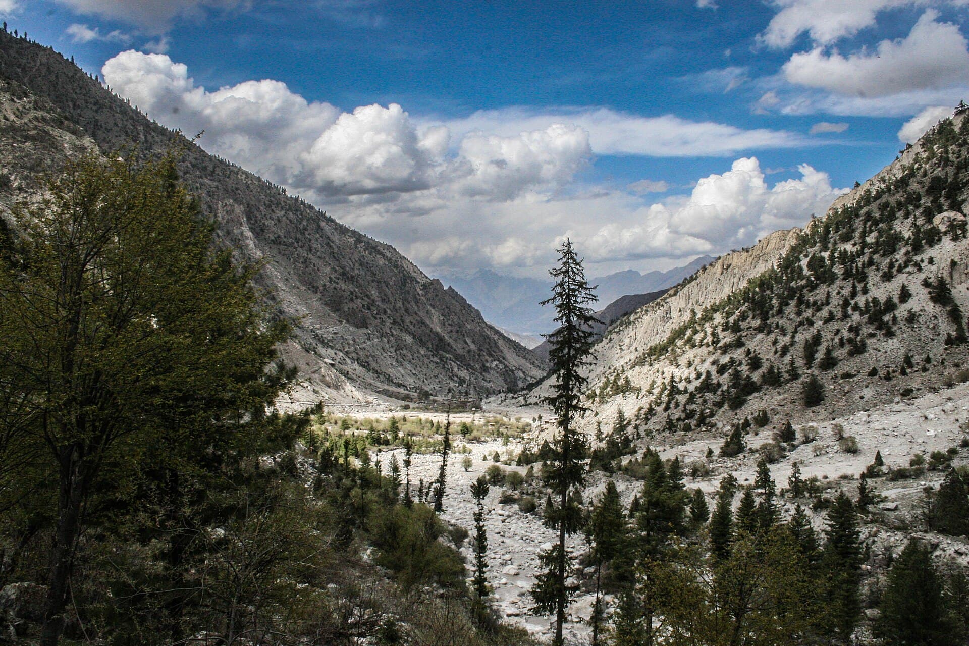
A short jeep-and-foot approach from Tato to the Fairy Meadows plateau.
- Distance
- 6 km
- Duration
- 1 day
- Max elevation
- 3,300 m
- Guide
- Optional
Best in Summer · AutumnView Trek
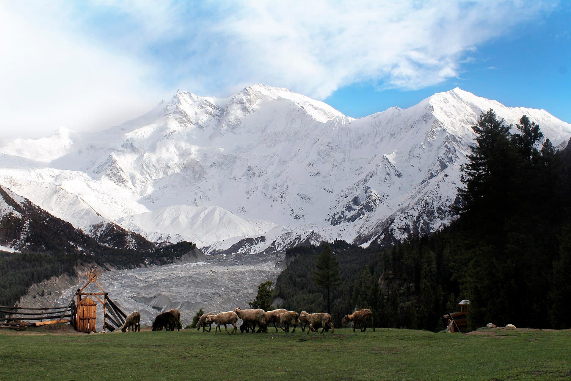
A lush alpine meadow facing Nanga Parbat, the 'Killer Mountain'.
Anything we haven't confirmed is labelled clearly rather than guessed at.
Fairy Meadows sits at the edge of the forest line below Nanga Parbat, the ninth-highest mountain on Earth. The meadow itself is small, but the view is not: the mountain's Rakhiot face rises directly above camp. It's both a destination in its own right for travellers who want the view without a multi-day trek, and the standard first stop for those continuing to Nanga Parbat Base Camp.
The meadow itself is small, but the view is not: Nanga Parbat's Rakhiot face rises directly above camp.
A pine-forest clearing on a shoulder of the Nanga Parbat massif, facing the mountain's north side.
Named by early European visitors; the surrounding villages are part of the Chilas/Diamer area with a distinct local culture from Hunza or Baltistan.
Trekkers and travellers seeking a high-mountain view without a long trek
A 2-3 day trip combining the jeep approach, an overnight at the meadow, and optionally a further push toward base camp
Estimated visit length: 2-3 days
Every photo is real and credited — see the attribution section below for the full list.
A pine-forest clearing on a shoulder of the Nanga Parbat massif, facing the mountain's north side.
Few viewpoints anywhere put you this close to an 8,000m peak without technical climbing.
Fairy Meadows is the standard first night for the Nanga Parbat Base Camp trek.
The final approach by jeep and foot is itself part of the experience, climbing steeply from the Karakoram Highway.
Availability is seasonal and not confirmed as currently operating — see each activity's verification status.
Short walks around the meadow for changing angles on the north face.
Camping or guesthouse stays directly facing the mountain.
Snow may still block the jeep track — needs verification.
Seasonal access and weather conditions may change. Verify locally before travel.
A structural preview only. Detailed routes, driving times and road quality are coming in Phase 5.
Interactive route map
Detailed routes coming in Phase 5
Availability is never claimed without evidence — unconfirmed facilities default to unknown or needs-verification.
This destination sits above 3,000m. Altitude can affect travellers differently — this is general awareness, not medical advice.
Weather and trail conditions change without notice and are not tracked live on this page. Check current conditions before travelling.
Road conditions are not currently verified. A local guide is recommended for remote or high-altitude sections.
Written factually, without claiming accessibility we haven't confirmed.
Named by early European visitors; the surrounding villages are part of the Chilas/Diamer area with a distinct local culture from Hunza or Baltistan.
A short jeep-and-foot approach from Tato to the Fairy Meadows plateau.
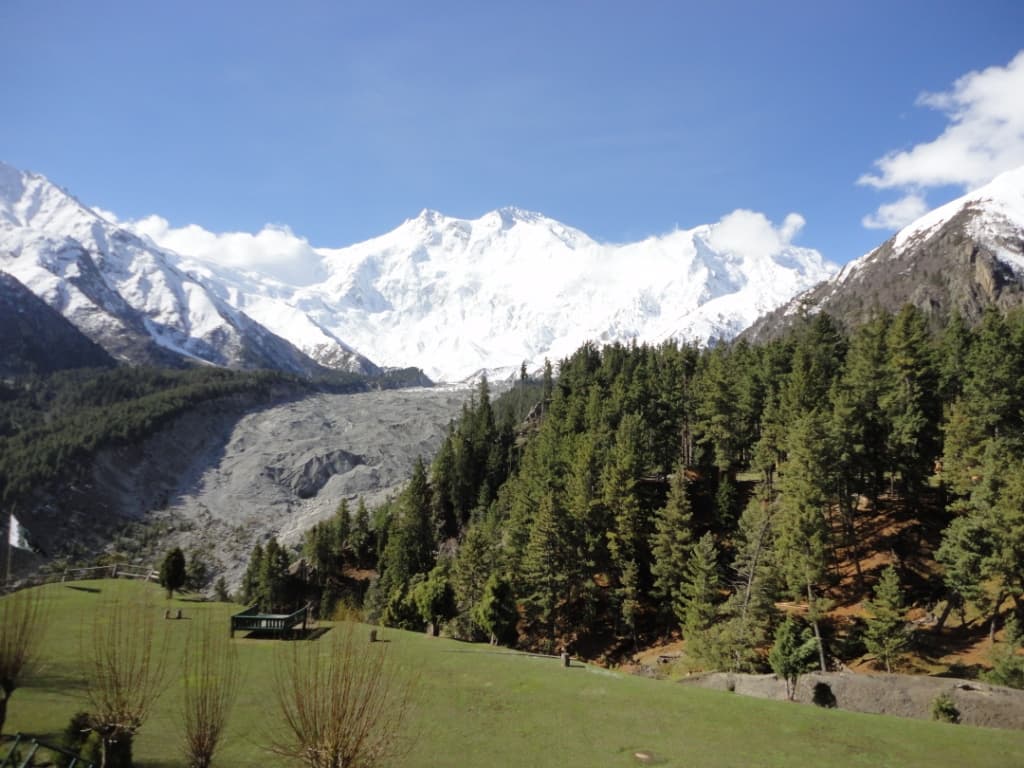
From Fairy Meadows up to the base of the 'Killer Mountain'.
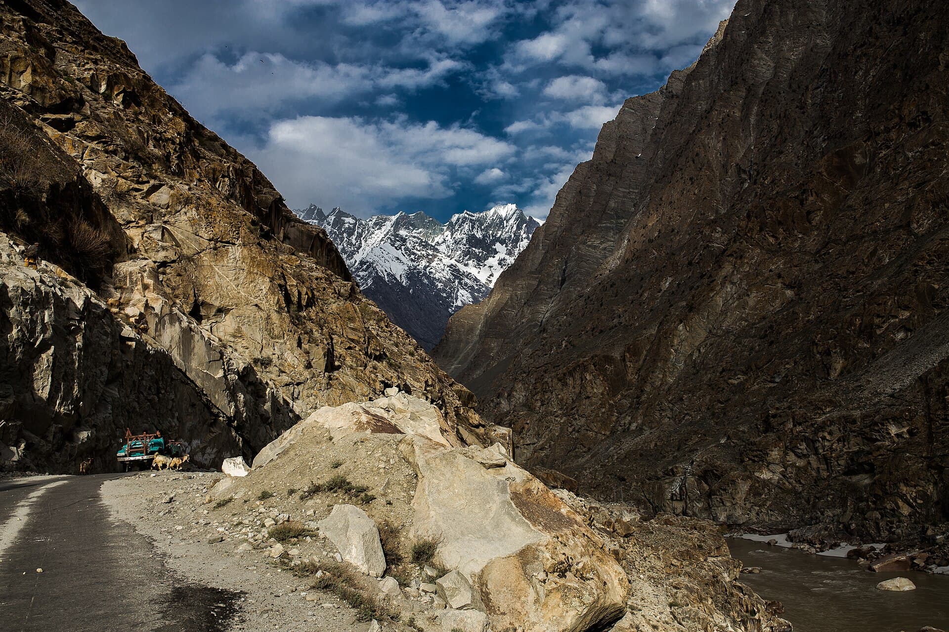
The Karakoram's gateway town, ringed by desert-like valleys and glacial lakes.
Summer — the jeep track and trail are most reliably open then; verify current conditions before travelling.
2-3 days for the meadow itself; longer if continuing to base camp.
Recommended, particularly for anyone continuing toward base camp.
By jeep to a trailhead, then on foot — current road/track condition needs verification.
What people who have been to Fairy Meadows have shared. Everything below is a traveller's own account, not Kohistan Journey's verified information.
I want to write this for anyone who, like me, has never actually hiked anywhere and is wondering if Fairy Meadows is a reasonable place to start. Short answer: yes, if you go into it honestly about your own fitness and don't rush. We left Raikot Bridge by jeep — a ride that was its own kind of nerve-wracking, narrow and unpaved for most of it — and started walking from Tato. I'd read it was a few hours and treated that as gospel, then spent the first forty minutes wondering why I was already tired. It gets easier once you find a pace that isn't trying to keep up with anyone else. My cousin, who actually hikes regularly, kept pace with two teenage porters carrying far more than either of us; I stopped every twenty minutes and that was fine too. The forest section is shaded and honestly beautiful in its own right — it would be easy to treat it as something to get through on the way to the meadow, but I made myself slow down and notice it. Then the trees thin out and there it is: the meadow, and Nanga Parbat directly behind it, closer and larger than any photo prepares you for. We stayed two nights in one of the wooden guesthouses. Cold in the evenings even in July — I was glad I'd packed a proper jacket instead of assuming summer meant summer everywhere. In the morning the cloud cleared for maybe twenty minutes and the whole mountain was visible before it closed in again. We didn't push on to base camp; two days felt like enough for a first trip, and I'd rather do it properly on a second visit than rush it now. Coming down was harder on my legs than going up, which nobody warned me about.
Be the first to share a photo from Fairy Meadows.
Share a photoThe path from Tato was well marked and easy to follow when we walked it in July 2025 — no snow on the trail itself at that point in the season. This is what we saw on our one visit and may not reflect current conditions.
Traveler-reported — not independently verified.
Traveller reports may be outdated or unverified. Confirm critical information locally before travel.
Photographs shared by travellers who have been here. Personal accounts, not Kohistan Journey's verified information — check anything time-sensitive locally.
No traveller posts yet
Nobody has shared a photo tagged to Fairy Meadows yet. If you have been, you can be the first.