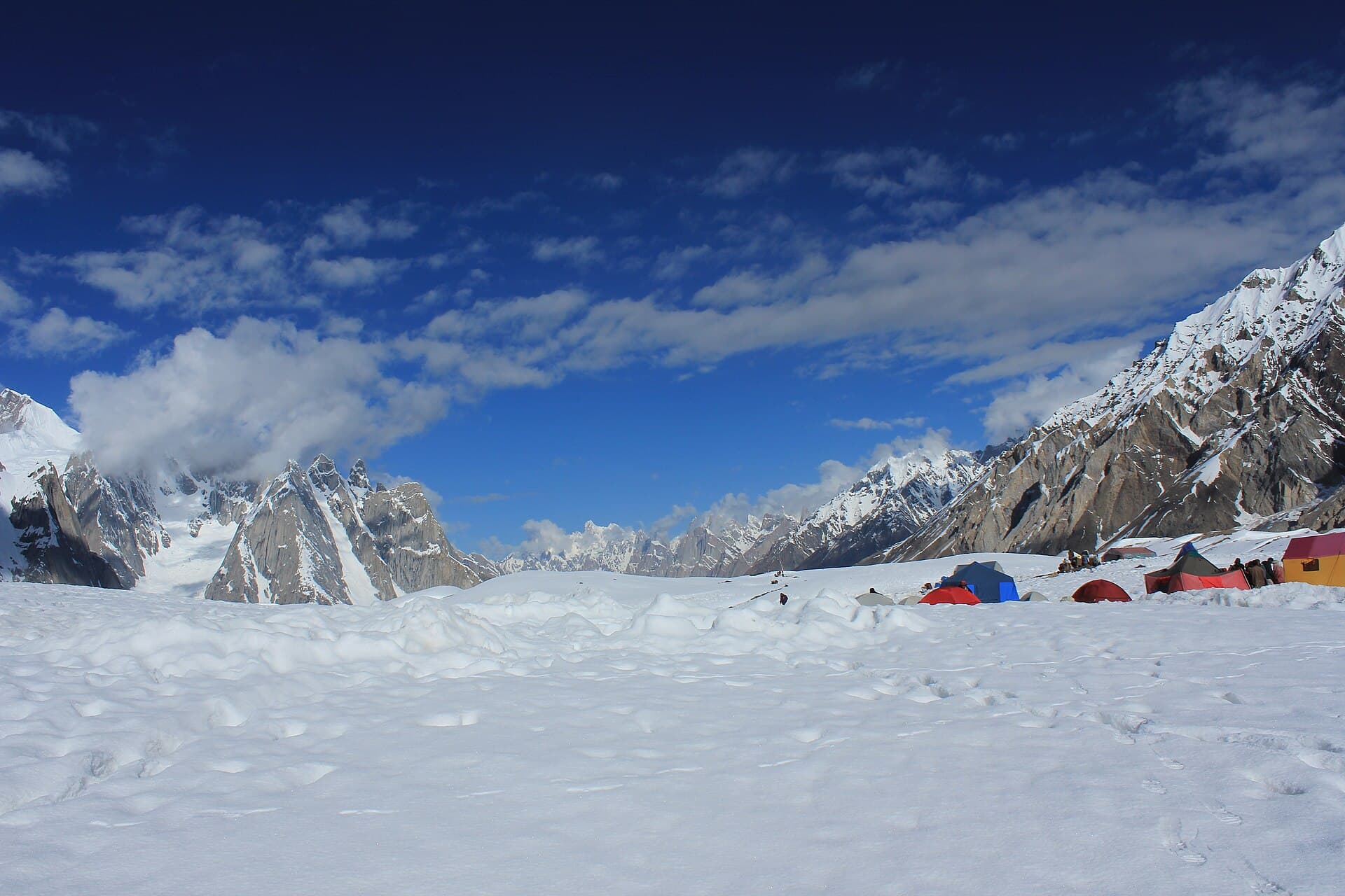
ExpeditionFeatured
Needs verificationK2 Base Camp Trek
The classic Baltoro Glacier approach to the base of the world's second-highest peak.
- Distance
- 100 km
- Duration
- 12 days
- Max elevation
- 5,150 m
- Guide
- Recommended
Best in SummerView Trek
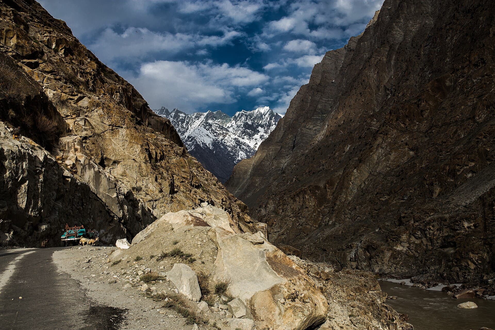
The Karakoram's gateway town, ringed by desert-like valleys and glacial lakes.
Anything we haven't confirmed is labelled clearly rather than guessed at.
Most travellers heading deeper into the Karakoram — toward Deosai, the Baltoro Glacier, or K2 base camp — pass through Skardu to arrange permits, porters and supplies. The town itself has its own attractions: Kharpocho Fort overlooking the Indus, the cold desert dunes at Sarfaranga, and several lakes within day-trip distance.
A broad, arid high-altitude valley along the Indus River, with surrounding rock and sand-dune terrain distinct from the greener valleys further west.
Balti culture and language, historically connected to Ladakh and Tibet, with a long mountaineering-support tradition.
Expedition travellers, trekkers, and those exploring Baltistan's lakes and desert scenery
A base for day trips (Shangrila, Sarfaranga, Kharpocho Fort) and a staging point for longer treks
Estimated visit length: 2-3 days
Every photo is real and credited — see the attribution section below for the full list.
A broad, arid high-altitude valley along the Indus River, with surrounding rock and sand-dune terrain distinct from the greener valleys further west.
Skardu is the last major town before expeditions head toward K2, Broad Peak and Gasherbrum.
The Sarfaranga cold desert's dunes sit incongruously among Karakoram peaks.
Kharpocho Fort and the old town reflect Baltistan's distinct Tibetan-influenced history.
Availability is seasonal and not confirmed as currently operating — see each activity's verification status.
A hilltop fort overlooking the Indus and Skardu town.
Sand dunes on the Skardu-Shigar road, a short drive from town.
Several lakes (Shangrila, Kachura) are reachable as day trips from town.
Cold, and onward routes toward Deosai are typically closed — needs verification.
Seasonal access and weather conditions may change. Verify locally before travel.
A structural preview only. Detailed routes, driving times and road quality are coming in Phase 5.
Interactive route map
Detailed routes coming in Phase 5
Availability is never claimed without evidence — unconfirmed facilities default to unknown or needs-verification.
Weather and trail conditions change without notice and are not tracked live on this page. Check current conditions before travelling.
Road conditions are not currently verified. A local guide is recommended for remote or high-altitude sections.
Written factually, without claiming accessibility we haven't confirmed.
Balti culture and language, historically connected to Ladakh and Tibet, with a long mountaineering-support tradition.
The classic Baltoro Glacier approach to the base of the world's second-highest peak.
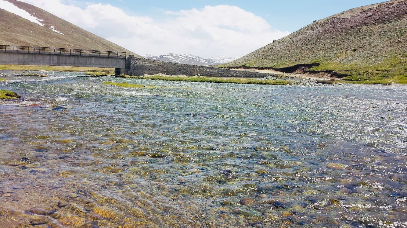
A vast high-altitude plateau known as the 'Roof of the World'.
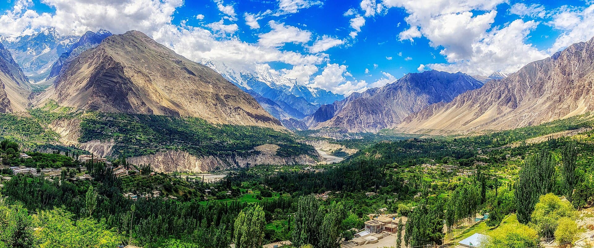
Terraced orchards, glacial peaks and centuries-old forts along the Karakoram Highway.
Summer and autumn, when onward routes to Deosai and the Baltoro are typically open.
2-3 days for the town and nearby day trips, longer if continuing on a trek or expedition.
Needs verification — some onward routes and expeditions have historically required permits; check current requirements before travel.
Recommended for anyone continuing toward the Baltoro Glacier or Deosai.
What people who have been to Skardu have shared. Everything below is a traveller's own account, not Kohistan Journey's verified information.
I live in Skardu and lead small groups through Baltistan most summers, so this report is less a first impression and more notes from a trip I do almost every year with a slightly different group each time — this time it was four visitors from Lahore who'd never been north before. We spent two days around Skardu itself before heading up onto Deosai, mostly so people could adjust to the altitude gradually rather than jumping straight to the plateau. Kachura and the fort ruins near town are an easy, unhurried way to spend that time. Deosai is the part people come for, and it's the part I still find genuinely striking even after leading groups there for years. There's a scale to it that doesn't photograph well — it's less about any single view and more about how far the openness extends in every direction, with almost nothing breaking the horizon except distant peaks. We walked a section of the plateau rather than only driving across it, which I'd recommend if anyone in your group is up for it; the road gives you the plateau, but walking a stretch of it gives you the silence. We were lucky with weather for most of the week, though one afternoon closed in fast with cloud and a cold wind that had everyone reaching for jackets they'd packed but not expected to need in August. That's normal for the plateau and worth planning around rather than being surprised by. This group left already asking about coming back in a different season, which I take as the trip having done its job.
Be the first to share a photo from Skardu.
Share a photoNo traveller updates for Skardu yet.
Post an updatePhotographs shared by travellers who have been here. Personal accounts, not Kohistan Journey's verified information — check anything time-sensitive locally.
No traveller posts yet
Nobody has shared a photo tagged to Skardu yet. If you have been, you can be the first.