ModerateFeatured
Needs verificationJahaz Banda Trek
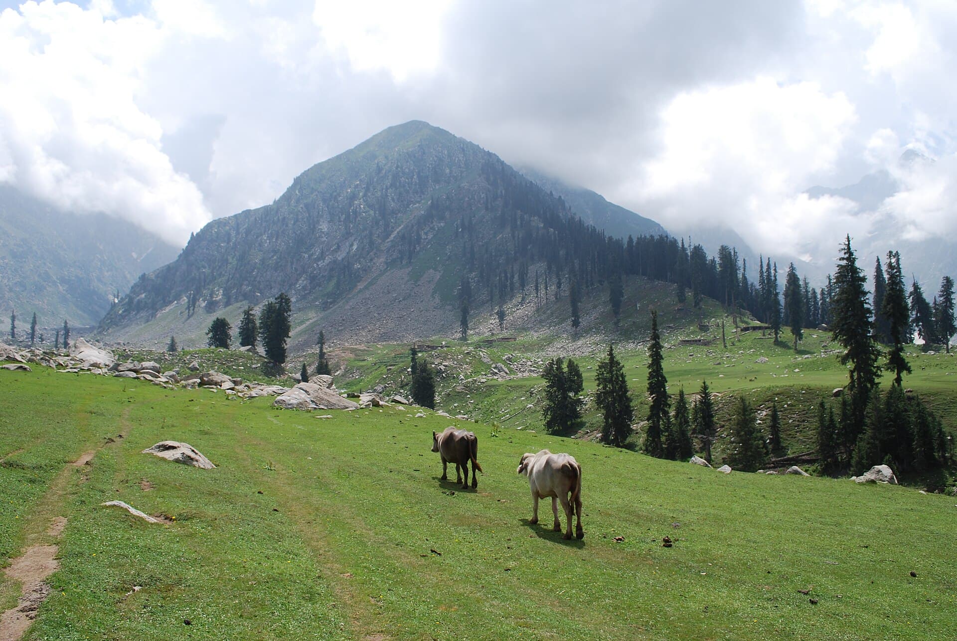
A ship-shaped alpine meadow above the Utror Valley.
- Distance
- 20 km
- Duration
- 2 days
- Max elevation
- 3,300 m
- Guide
- Recommended
Best in SummerView Trek
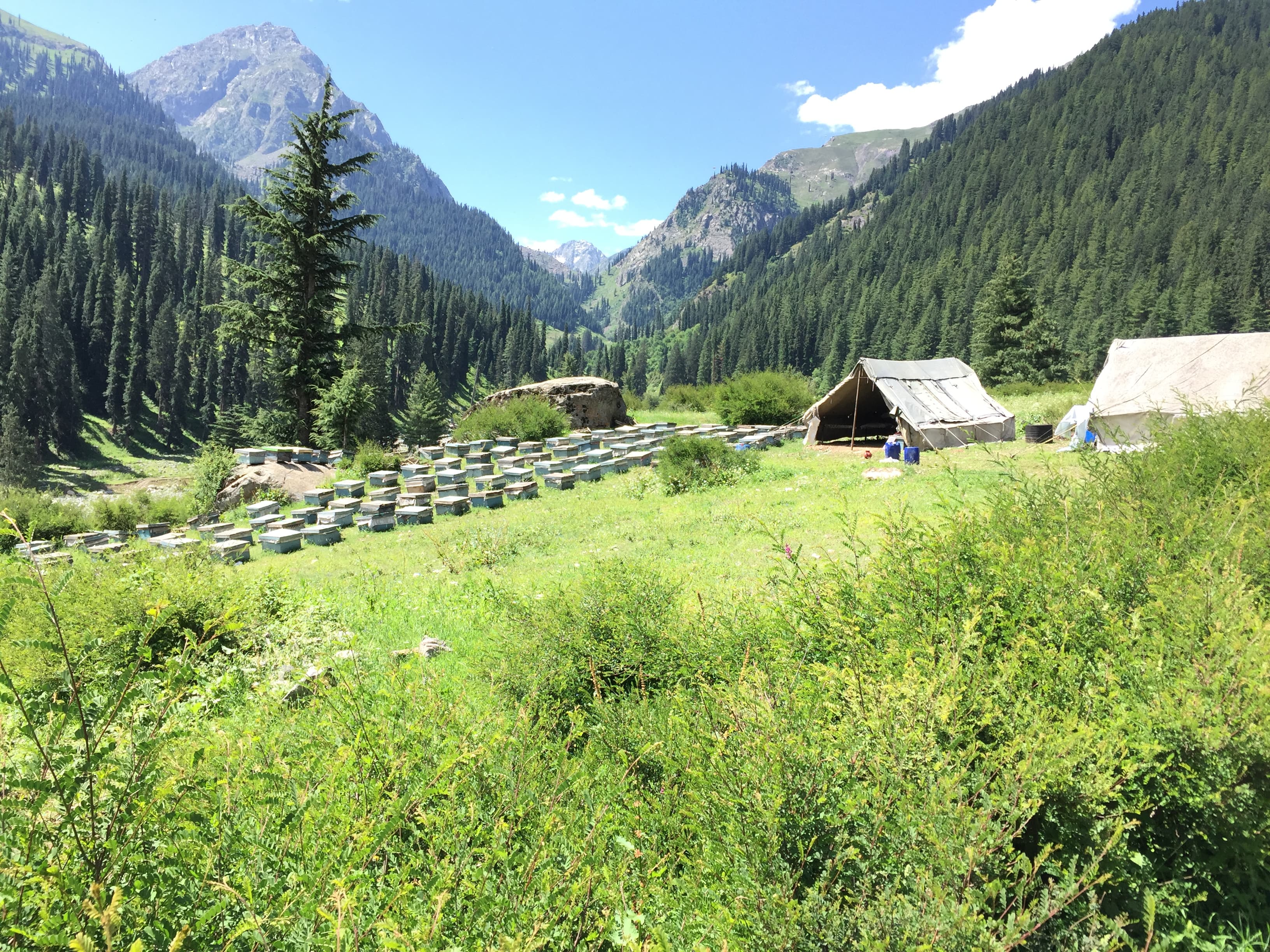
A side valley north of Kalam, the usual approach for Jahaz Banda meadow.
Anything we haven't confirmed is labelled clearly rather than guessed at.
Where the Kalam road forks, Utror is the branch most travellers take only if they are walking further. The valley itself is open pasture and scattered settlement rather than the dense forest of Ushu next door, and it carries the usual approach to Jahaz Banda — one of the better-known meadow treks in Khyber Pakhtunkhwa. That gives it a particular character in season: a staging valley, busy with people heading up rather than settling in.
A staging valley, busy in season with people heading up rather than settling in.
An open side valley of pasture and scattered settlement above Kalam, rising toward the meadows and lakes at its head.
Seasonal and small permanent settlement in the upper Swat valley, with summer pasture use shaping the valley floor.
Trekkers heading for Jahaz Banda, and travellers wanting a quieter branch of the Kalam road
A staging night before walking up, or a day trip from Kalam
Estimated visit length: 1-2 days
Every photo is real and credited — see the attribution section below for the full list.
An open side valley of pasture and scattered settlement above Kalam, rising toward the meadows and lakes at its head.
The usual way in to one of Khyber Pakhtunkhwa's better-known meadow treks.
A different character from the forested Ushu valley on the other branch of the road.
Set up here before walking up rather than treating it as the destination.
Availability is seasonal and not confirmed as currently operating — see each activity's verification status.
The walk or jeep approach toward Jahaz Banda meadow; current jeep access needs verification.
Walks along the valley floor and its pasture.
Seasonal access and weather conditions may change. Verify locally before travel.
Based on the data we have — uncertain relationships are marked for review rather than presented as confirmed.
A structural preview only. Detailed routes, driving times and road quality are coming in Phase 5.
Interactive route map
Detailed routes coming in Phase 5
Availability is never claimed without evidence — unconfirmed facilities default to unknown or needs-verification.
Weather and trail conditions change without notice and are not tracked live on this page. Check current conditions before travelling.
Road conditions are not currently verified. A local guide is recommended for remote or high-altitude sections.
Written factually, without claiming accessibility we haven't confirmed.
Seasonal and small permanent settlement in the upper Swat valley, with summer pasture use shaping the valley floor.
A ship-shaped alpine meadow above the Utror Valley.
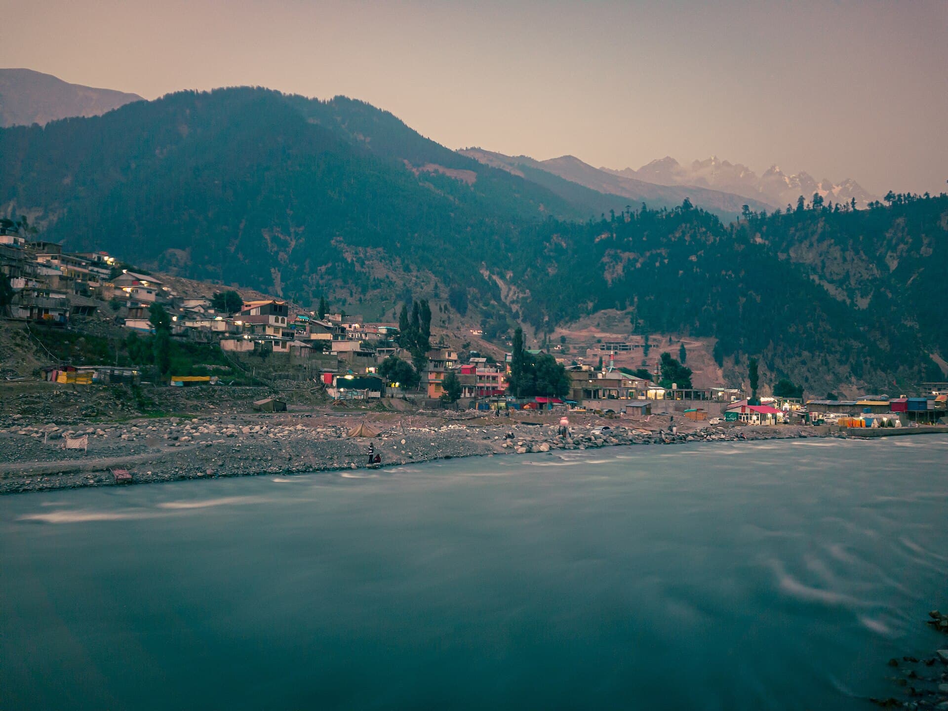
Swat's mountain hub and gateway to Ushu, Mahodand and Utror valleys.
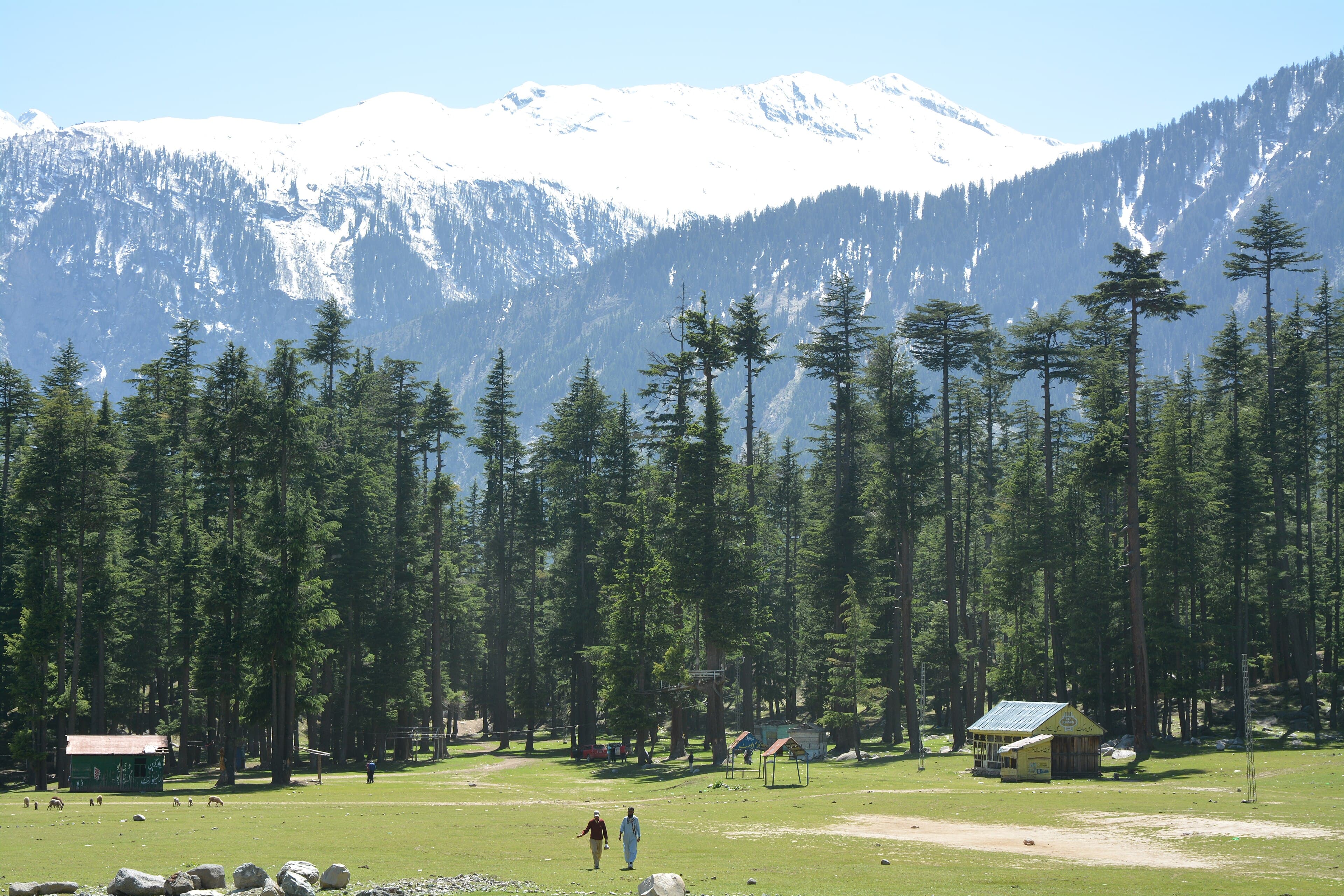
Dense pine forest along the Ushu Valley road between Kalam and Mahodand Lake.
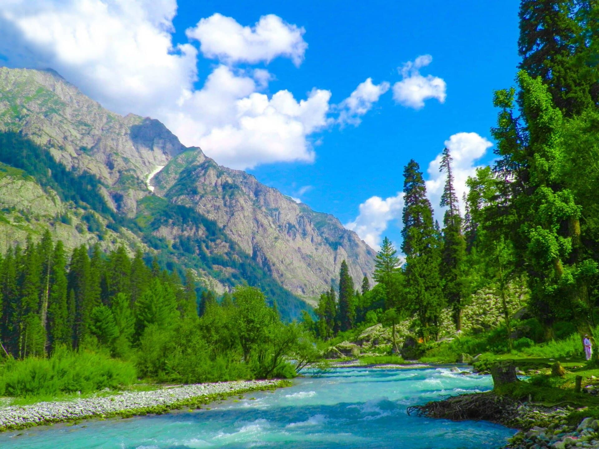
Dense pine forests, glacial rivers and remote alpine meadows in Upper Dir.
Summer, when the road above Kalam and the Jahaz Banda approach are normally open.
Yes — Utror is the usual approach, though jeep access and trail condition need verification.
Recommended for the walk up to Jahaz Banda rather than for the valley floor itself.
Accommodation exists in the valley but standards and availability need verification; many trekkers stage from Kalam instead.
What people who have been to Utror Valley have shared. Everything below is a traveller's own account, not Kohistan Journey's verified information.
No trip reports from Utror Valley yet.
Write the first oneBe the first to share a photo from Utror Valley.
Share a photoNo traveller updates for Utror Valley yet.
Post an updatePhotographs shared by travellers who have been here. Personal accounts, not Kohistan Journey's verified information — check anything time-sensitive locally.
No traveller posts yet
Nobody has shared a photo tagged to Utror Valley yet. If you have been, you can be the first.