ModerateFeatured
Needs verificationKatora Lake Trek
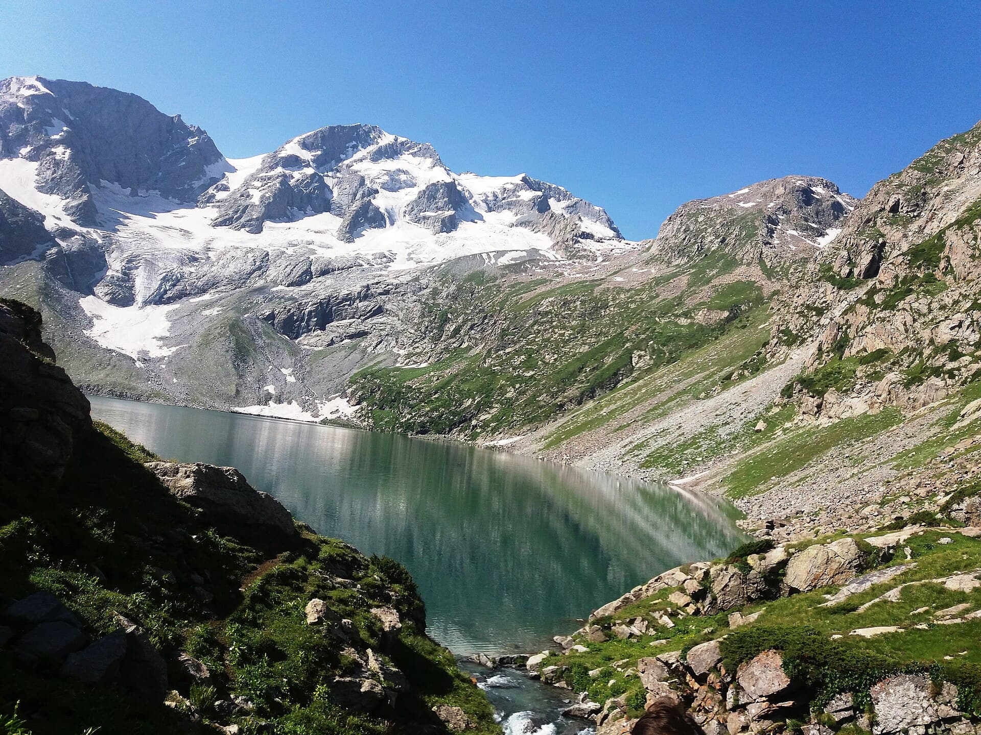
A bowl-shaped alpine lake reached from the Kumrat Valley.
- Distance
- 12 km
- Duration
- 1 day
- Max elevation
- 3,200 m
- Guide
- Recommended
Best in SummerView Trek
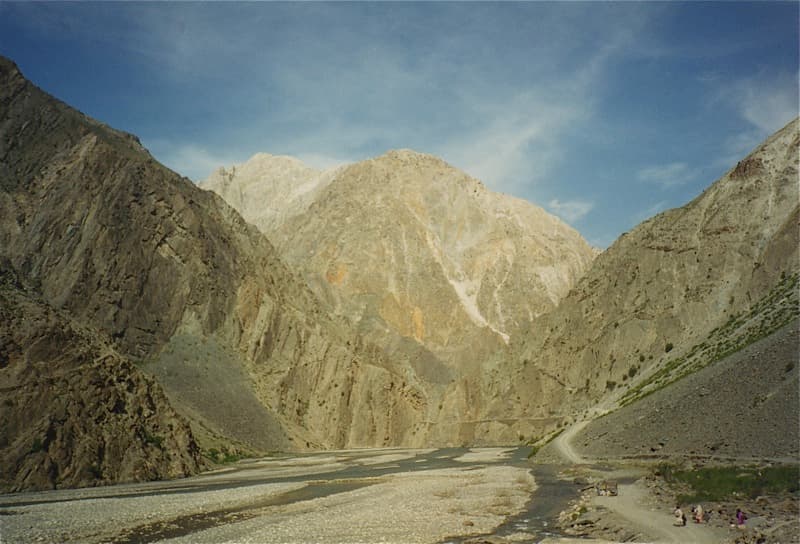
A remote frontier town beneath Tirich Mir, seat of the Mehtars and the road hub for the Hindu Kush.
Anything we haven't confirmed is labelled clearly rather than guessed at.
Chitral town sits in a wide valley below Tirich Mir, historically the seat of the Mehtars of Chitral and still home to their fort and old town. Isolation shaped it: until the Lowari tunnel it was cut off by snow for months at a time, and Khowar rather than Pashto is what you hear in the bazaar. It is also the road hub for the district — the Kalash Valley, Shandur Pass and Chitral Gol National Park are all reached from here, and each has its own entry in this guide.
A wide valley town at the base of the Hindu Kush, with Tirich Mir (7,708m) visible on clear days.
A frontier region historically distinct from the rest of Khyber Pakhtunkhwa, with Khowar-speaking communities and a history as an independent princely state.
Cultural travellers and trekkers heading into the Hindu Kush
A base of two or three days for the town itself and the valleys reached from it
Estimated visit length: 2-3 days
Every photo is real and credited — see the attribution section below for the full list.
A wide valley town at the base of the Hindu Kush, with Tirich Mir (7,708m) visible on clear days.
A frontier culture with its own language, distinct from the Pashto-speaking rest of the province.
Chitral Fort and the old town reflect the region's history as an independent princely state until 1969.
Tirich Mir, the highest peak of the Hindu Kush range, dominates the valley skyline.
Availability is seasonal and not confirmed as currently operating — see each activity's verification status.
The historic seat of the Mehtars of Chitral, with the old town around it.
Clear-day views of the Hindu Kush's highest peak from around the town.
The Lowari Pass/tunnel access needs verification in winter.
Seasonal access and weather conditions may change. Verify locally before travel.
A structural preview only. Detailed routes, driving times and road quality are coming in Phase 5.
Interactive route map
Detailed routes coming in Phase 5
Availability is never claimed without evidence — unconfirmed facilities default to unknown or needs-verification.
Weather and trail conditions change without notice and are not tracked live on this page. Check current conditions before travelling.
Road conditions are not currently verified. A local guide is recommended for remote or high-altitude sections.
Written factually, without claiming accessibility we haven't confirmed.
General guidance — customs vary between communities, and this may not cover every situation.
A frontier region historically distinct from the rest of Khyber Pakhtunkhwa, with Khowar-speaking communities and a history as an independent princely state.
No treks are linked to this destination yet, so these are the region's routes — they may be a long way from here.
A bowl-shaped alpine lake reached from the Kumrat Valley.
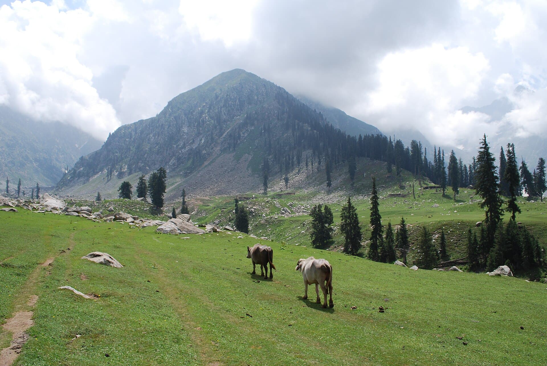
A ship-shaped alpine meadow above the Utror Valley.
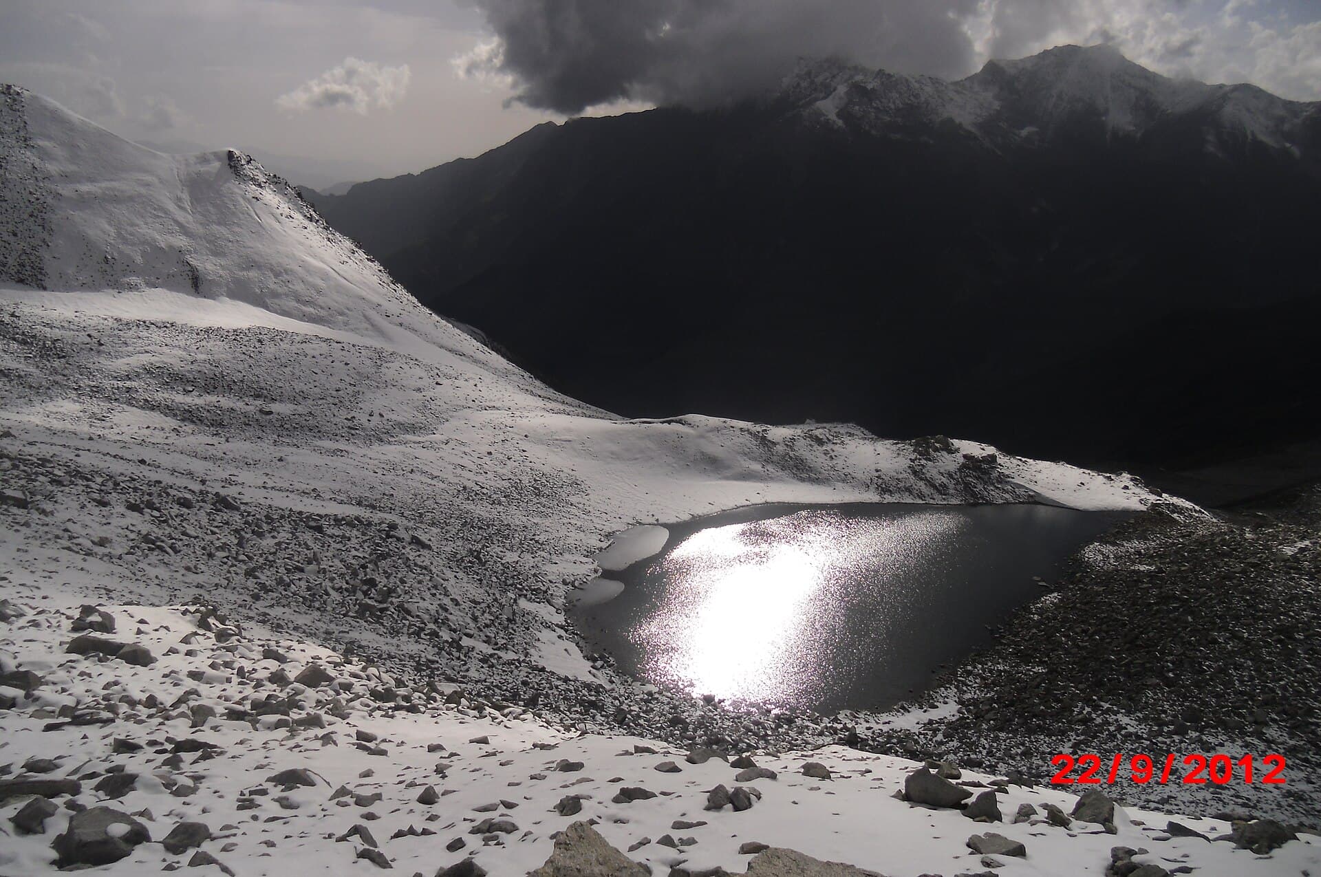
A demanding high-altitude trek to a teardrop-shaped lake above Saiful Muluk.
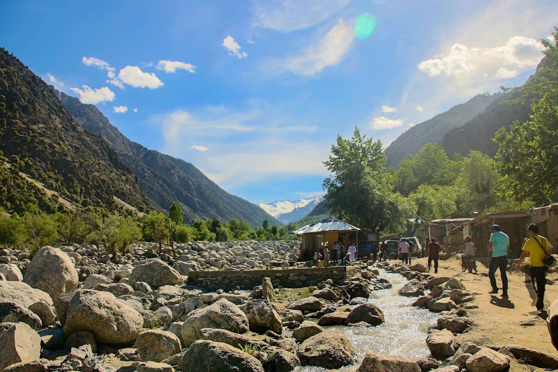
The three Kalasha valleys west of Chitral — Bumburet, Rumbur and Birir — home to one of Pakistan's smallest indigenous communities.
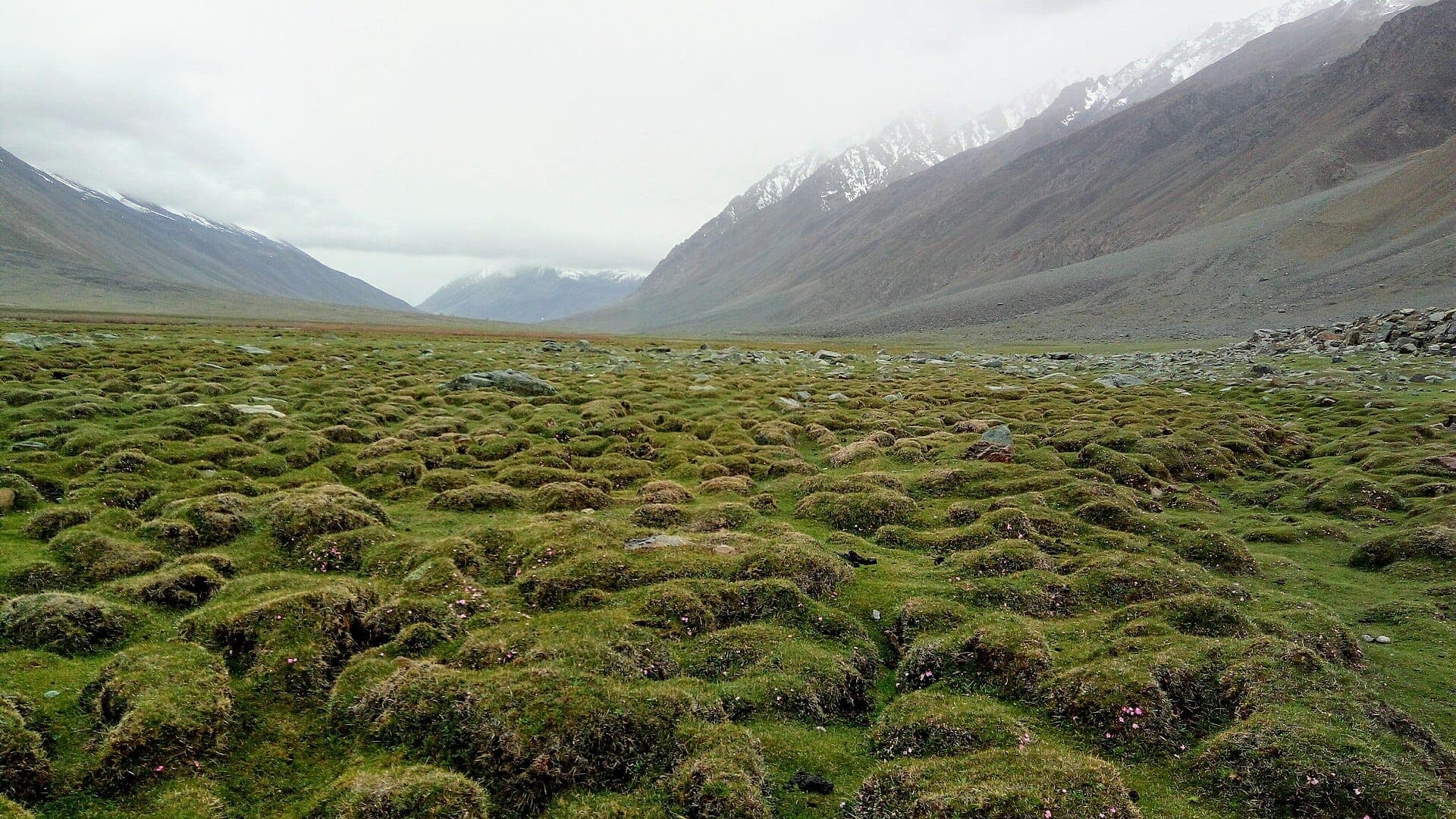
A high grassland pass between Chitral and Ghizer, holding the polo ground that gives it its name.
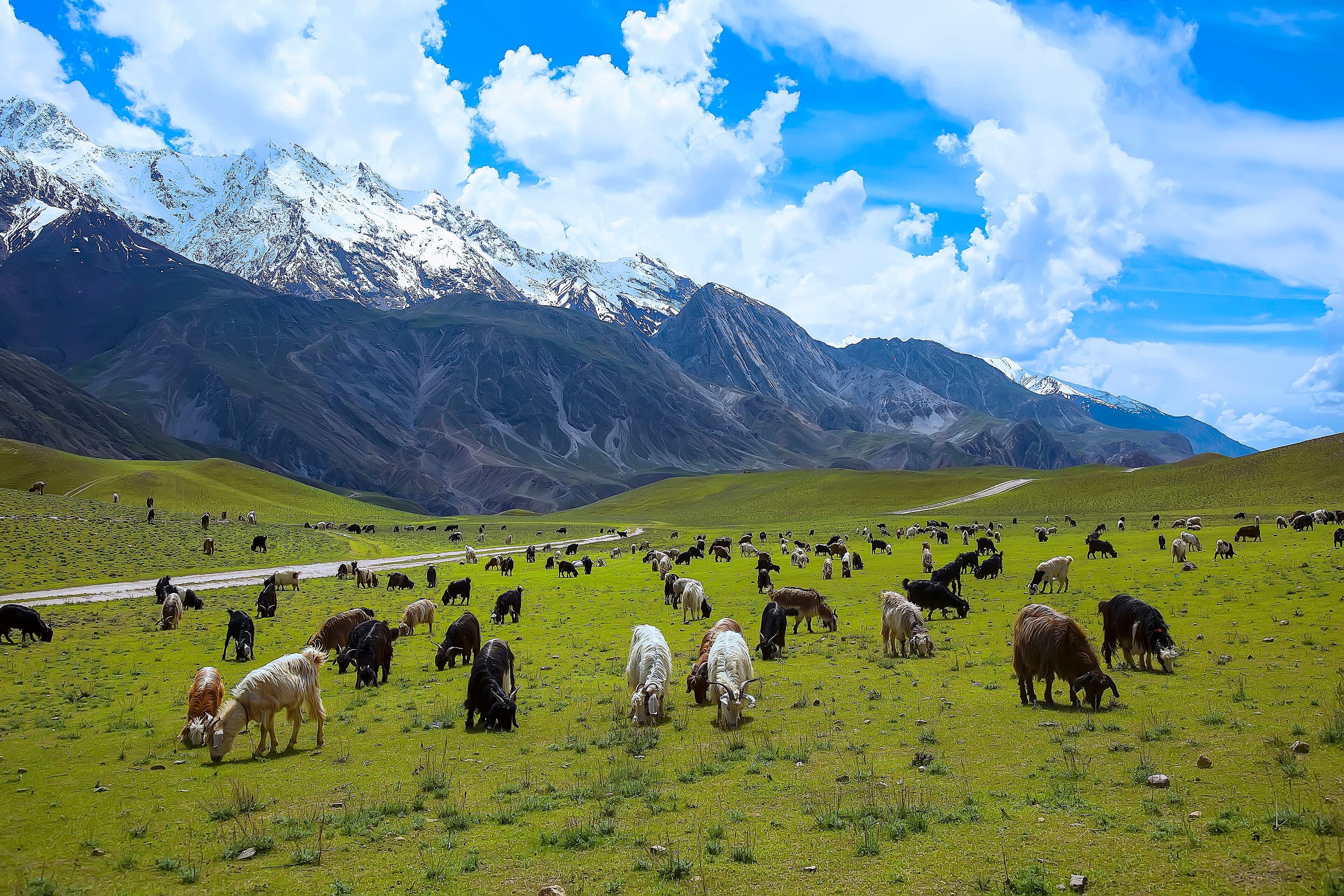
A protected reserve near Chitral town, established primarily to conserve the markhor, Pakistan's national animal.
Spring through autumn; winter access over the Lowari Pass needs verification.
Two or three days for the town; add time for the Kalash Valley, Shandur Pass or Chitral Gol, each covered separately.
Recommended for trips out of the town into the surrounding valleys.
Needs verification — some areas near the border have historically required permits; check current requirements.
What people who have been to Chitral have shared. Everything below is a traveller's own account, not Kohistan Journey's verified information.
I grew up in Chitral and now live in Peshawar, so this report is really about seeing home through the eyes of the two university friends I brought with me this time, neither of whom had been north of Islamabad before. We spent the first two days in the town itself — the old fort, the mosque, and long unhurried meals with family, which took up more of the trip than either of my friends expected but which I insisted on, because Chitral isn't only the landscape around it. My friends kept commenting on how different the pace of daily life felt here, and I think that observation was worth as much to them as anything we did afterward. Chitral Gol was the part they'd actually come north for. We went up early, before the heat and before other visitors, and were rewarded with a clear sighting of markhor on a distant slope — not guaranteed, and not something I want to promise anyone reading this, but a genuine highlight when it happens. The walk itself is gentle enough that it worked as much as a wildlife-watching morning as a hike. What I wanted my friends to leave with wasn't just photos of a park, but some sense of Chitral as a place people actually live, with its own rhythms that have nothing to do with tourism. I think they got that. One of them has already asked when we're going back.
Be the first to share a photo from Chitral.
Share a photoNo traveller updates for Chitral yet.
Post an updatePhotographs shared by travellers who have been here. Personal accounts, not Kohistan Journey's verified information — check anything time-sensitive locally.
No traveller posts yet
Nobody has shared a photo tagged to Chitral yet. If you have been, you can be the first.