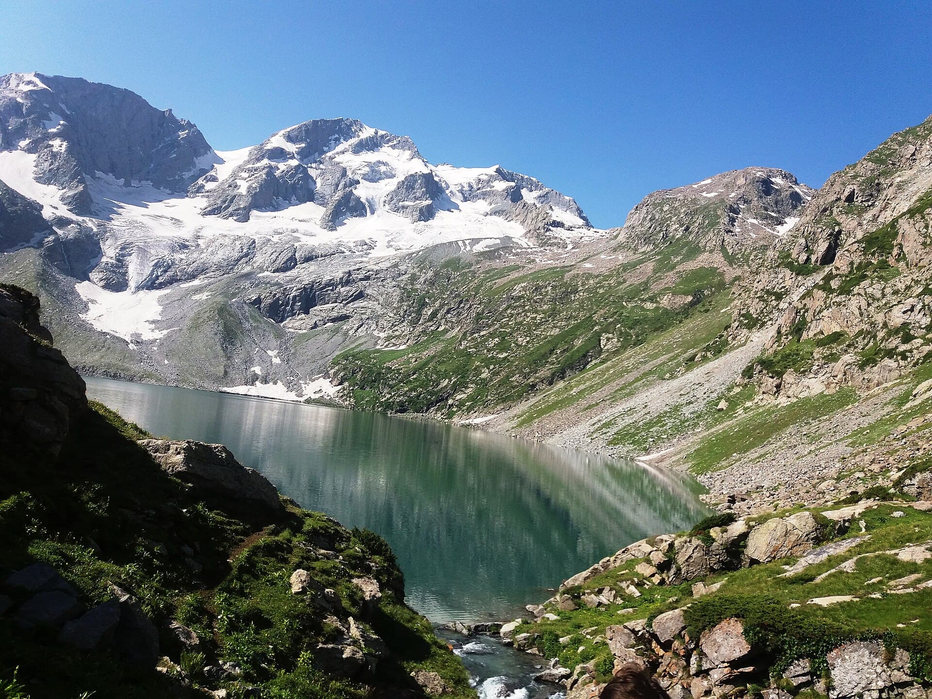
ModerateFeatured
Needs verificationKatora Lake Trek
A bowl-shaped alpine lake reached from the Kumrat Valley.
- Distance
- 12 km
- Duration
- 1 day
- Max elevation
- 3,200 m
- Guide
- Recommended
Best in SummerView Trek
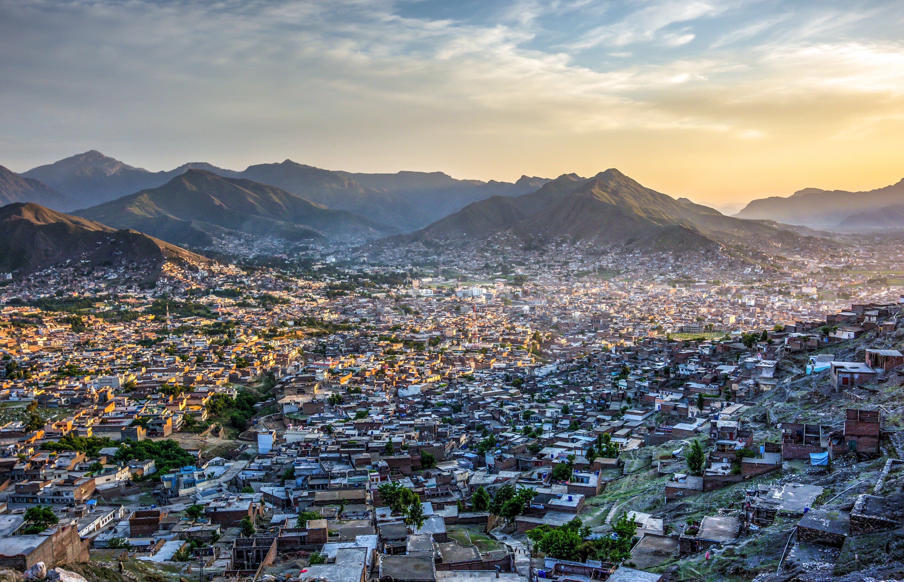
Swat's largest city and commercial centre, the usual entry point before heading up-valley toward Kalam.
Anything we haven't confirmed is labelled clearly rather than guessed at.
Almost every trip into Swat routes through Mingora, and most treat it as a staging post rather than a destination — which undersells it. The bazaars are the busiest in the valley and the practical place to arrange supplies, transport or a guide before the road narrows upstream. The city also sits on top of a much older settlement: the Butkara stupa complex on its edge is one of the more significant Buddhist-era sites in the Swat valley, and the archaeology of the area is a large part of why Swat is studied at all.
Most visitors treat Mingora as a staging post rather than a destination — which undersells a city sitting on top of a much older settlement.
A dense valley-floor city on the banks of the Swat River, ringed by the lower hills that close in as the valley runs north.
A Pashto-speaking commercial city and the administrative and trading centre for the wider Swat valley.
Travellers staging a trip up the Swat valley, and anyone interested in the region's Buddhist-era archaeology
A night at the start or end of a Swat trip, with a half-day for the bazaar and nearby archaeological sites
Estimated visit length: Half a day to 1 day
Every photo is real and credited — see the attribution section below for the full list.
A dense valley-floor city on the banks of the Swat River, ringed by the lower hills that close in as the valley runs north.
The Butkara stupa complex sits on the city's edge, part of the archaeology that made Swat's ancient history known.
The busiest markets in Swat, and the practical place to eat and resupply before heading north.
The junction every route up the Swat valley passes through.
Availability is seasonal and not confirmed as currently operating — see each activity's verification status.
The main markets, and the usual place to arrange supplies or onward transport.
The Buddhist-era stupa complex on the edge of the city; opening arrangements need verification.
Seasonal access and weather conditions may change. Verify locally before travel.
A structural preview only. Detailed routes, driving times and road quality are coming in Phase 5.
Interactive route map
Detailed routes coming in Phase 5
Availability is never claimed without evidence — unconfirmed facilities default to unknown or needs-verification.
Weather and trail conditions change without notice and are not tracked live on this page. Check current conditions before travelling.
Road conditions are not currently verified. A local guide is recommended for remote or high-altitude sections.
Written factually, without claiming accessibility we haven't confirmed.
A Pashto-speaking commercial city and the administrative and trading centre for the wider Swat valley.
No treks are linked to this destination yet, so these are the region's routes — they may be a long way from here.
A bowl-shaped alpine lake reached from the Kumrat Valley.
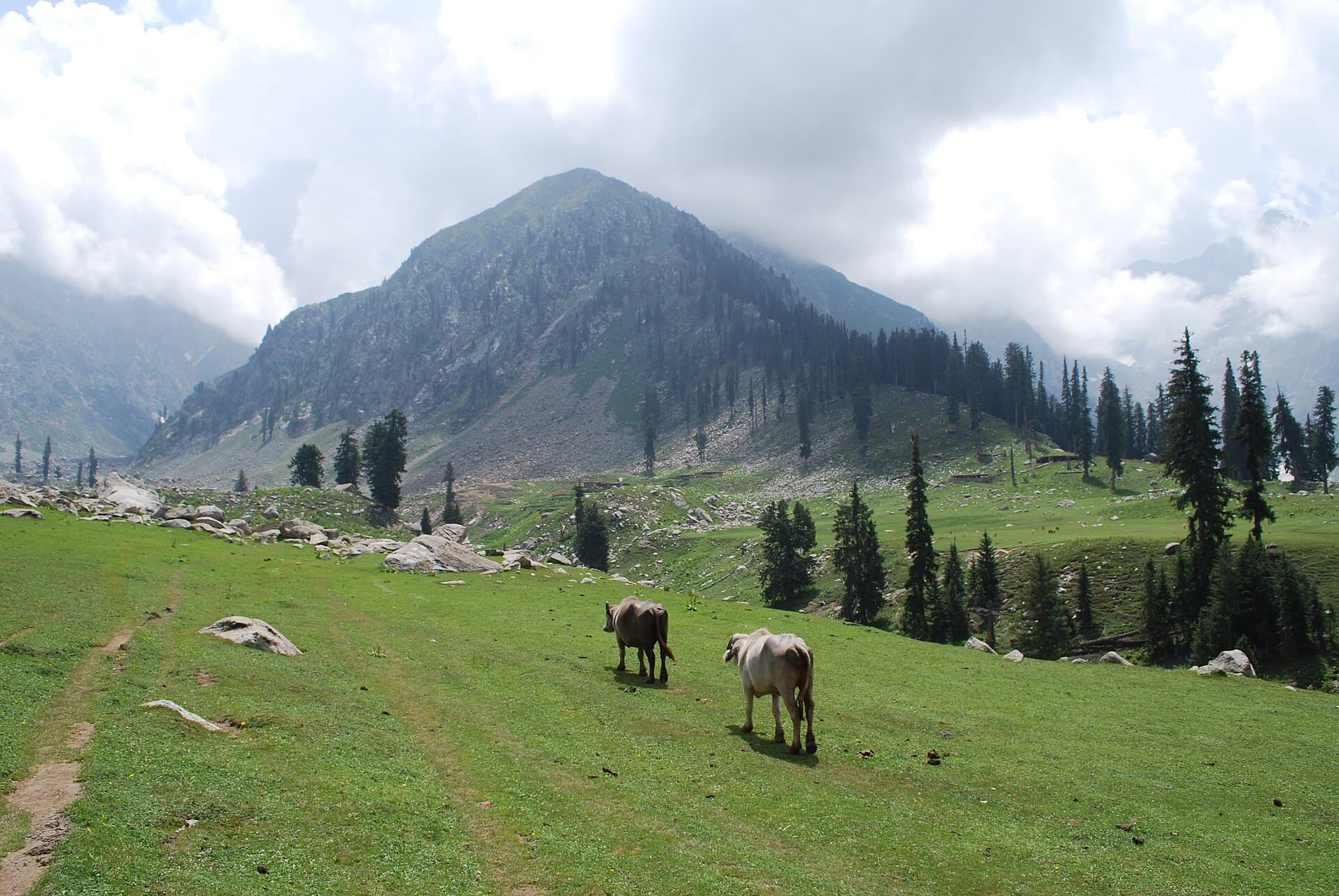
A ship-shaped alpine meadow above the Utror Valley.
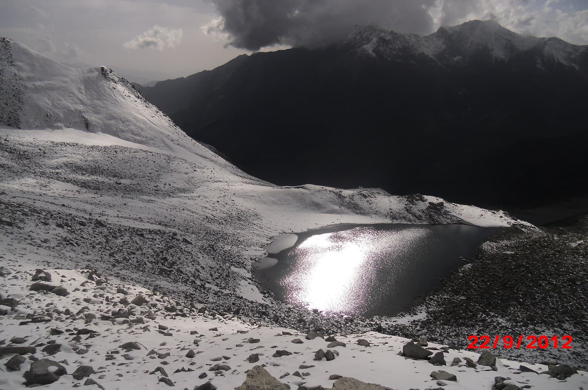
A demanding high-altitude trek to a teardrop-shaped lake above Saiful Muluk.
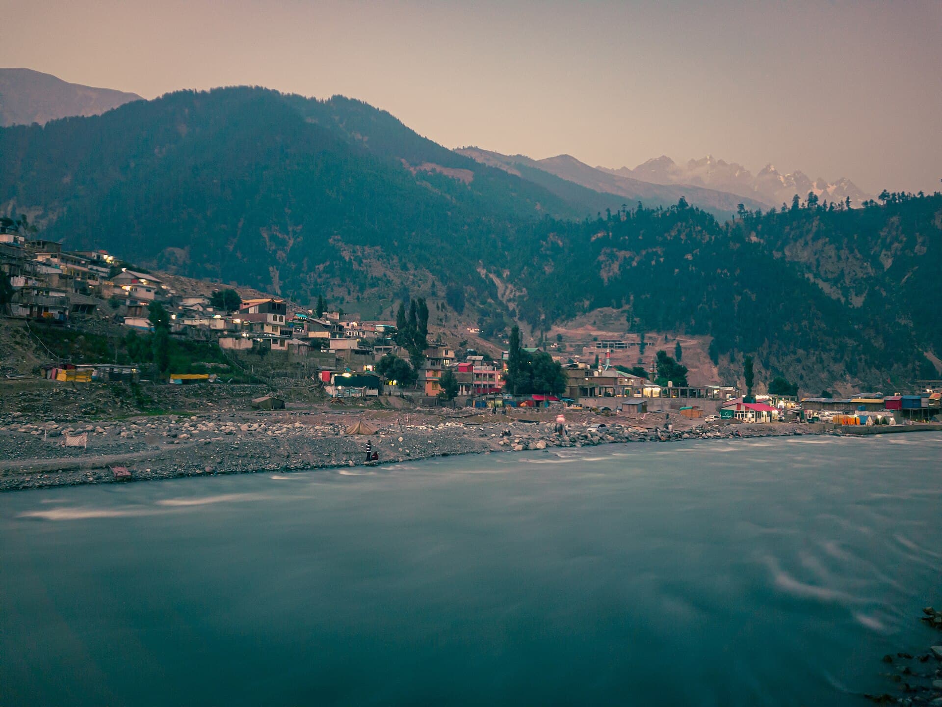
Swat's mountain hub and gateway to Ushu, Mahodand and Utror valleys.
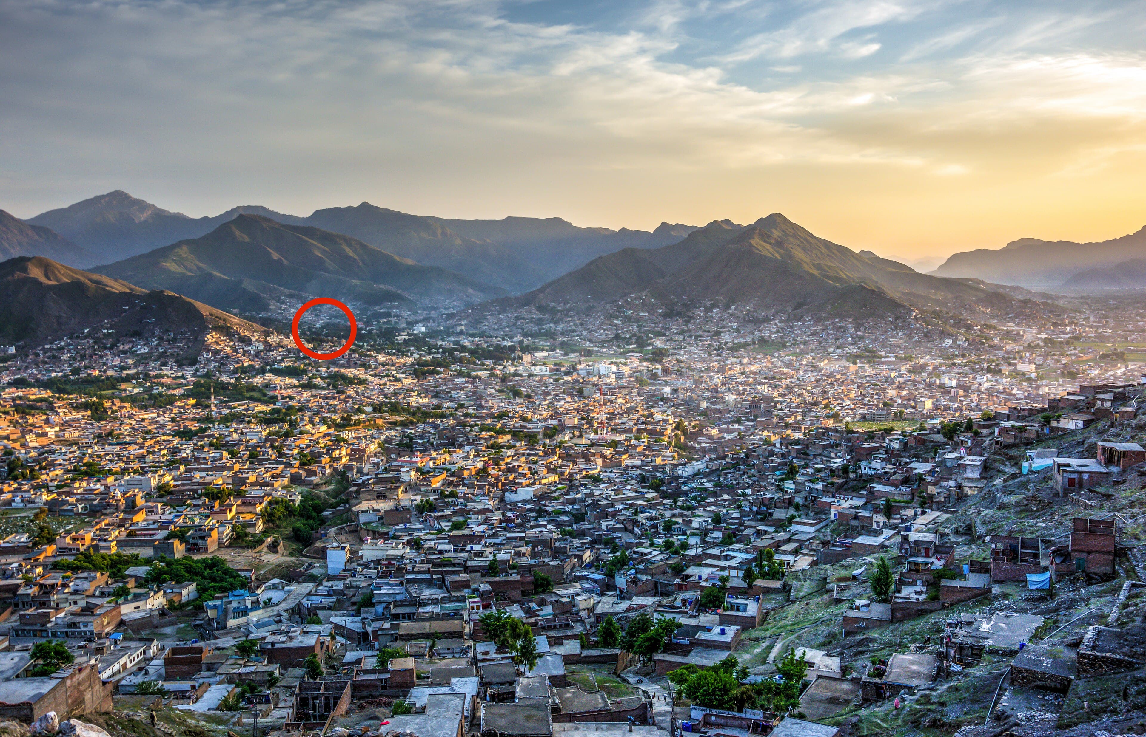
The former royal capital of Swat State, adjoining Mingora, with Buddhist-era archaeological sites nearby.
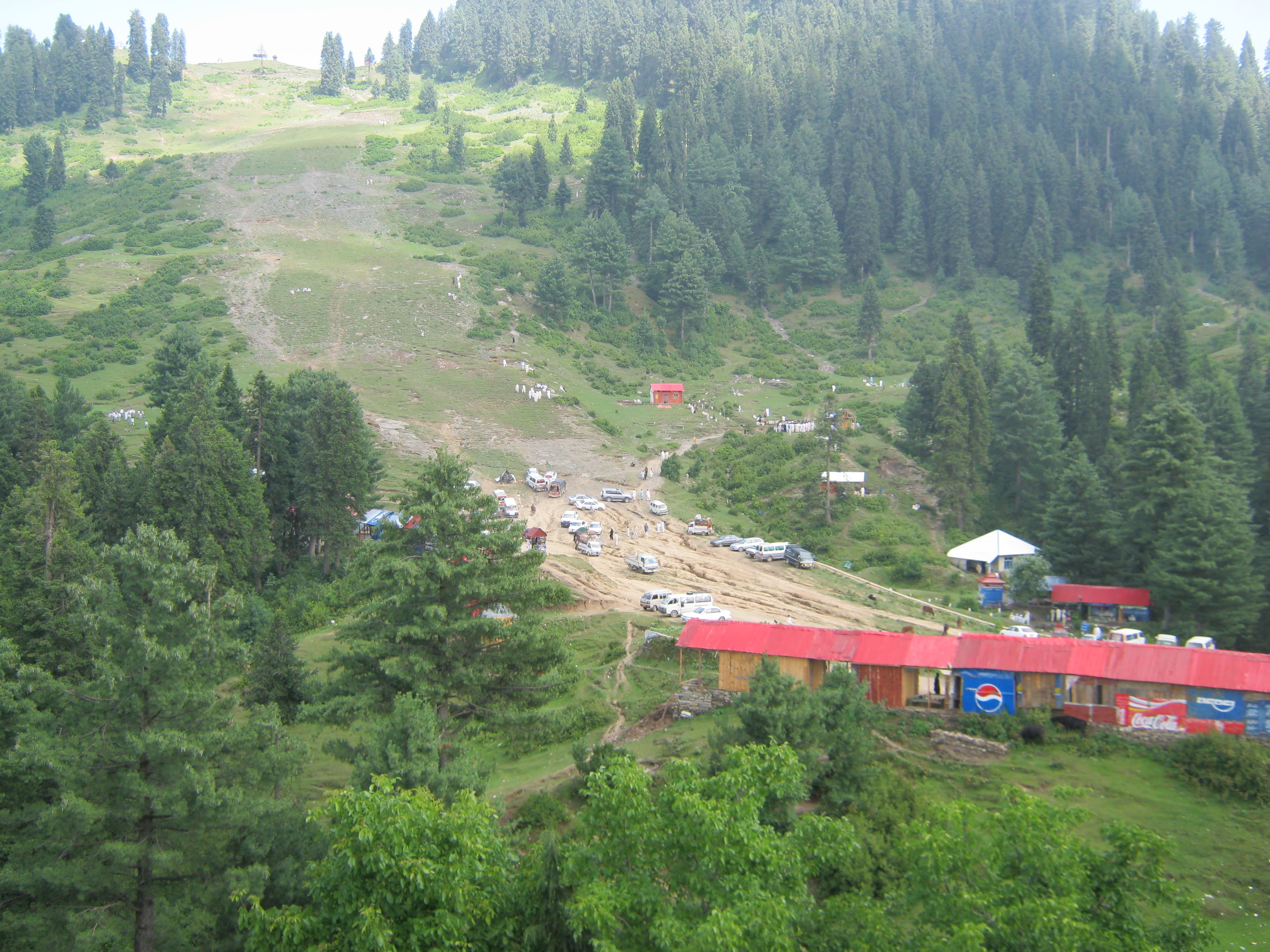
Pakistan's best-known ski resort, on a forested ridge above the Swat Valley.
Spring through autumn are the most comfortable; the city itself stays reachable in winter, unlike the upper valley.
Half a day to a day is usually enough, most often combined with the rest of a Swat trip.
It is the main supply and transport point for Swat, though most travellers move north to Kalam or Malam Jabba to stay.
By road via the Malakand Pass; current condition and travel times need verification.
What people who have been to Mingora have shared. Everything below is a traveller's own account, not Kohistan Journey's verified information.
No trip reports from Mingora yet.
Write the first oneBe the first to share a photo from Mingora.
Share a photoNo traveller updates for Mingora yet.
Post an updatePhotographs shared by travellers who have been here. Personal accounts, not Kohistan Journey's verified information — check anything time-sensitive locally.
No traveller posts yet
Nobody has shared a photo tagged to Mingora yet. If you have been, you can be the first.