EasyFeatured
Needs verificationFairy Meadows Trek
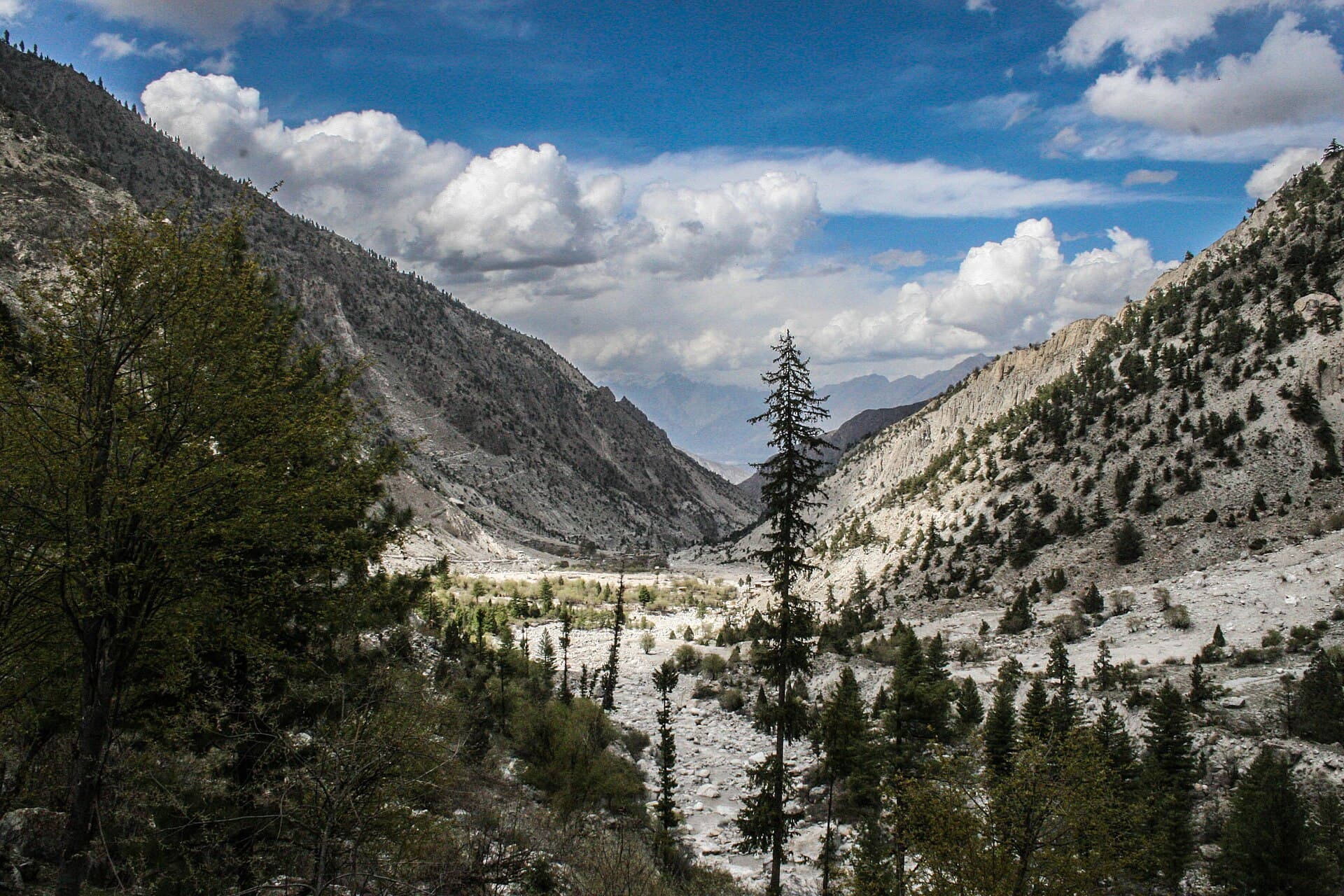
A short jeep-and-foot approach from Tato to the Fairy Meadows plateau.
- Distance
- 6 km
- Duration
- 1 day
- Max elevation
- 3,300 m
- Guide
- Optional
Best in Summer · AutumnView Trek
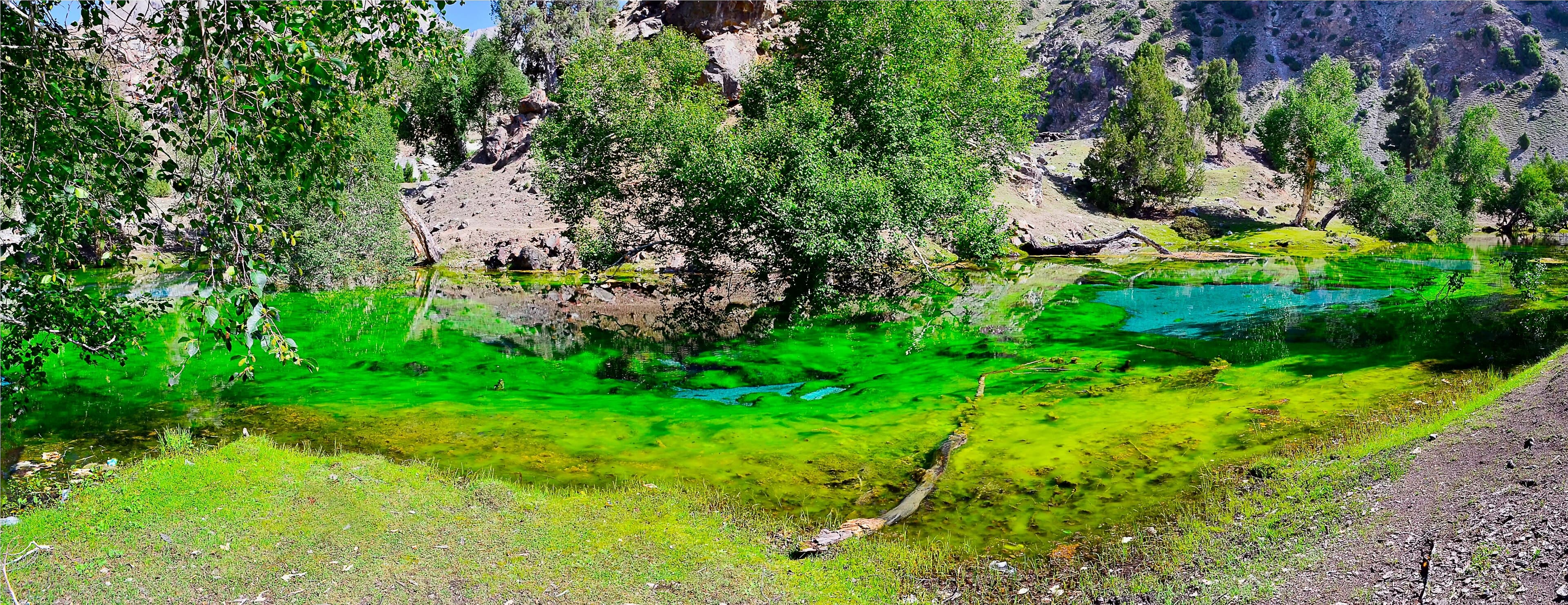
A side valley near Gilgit known for a cluster of small alpine lakes and a winter ski slope.
Anything we haven't confirmed is labelled clearly rather than guessed at.
Every photo is real and credited — see the attribution section below for the full list.
A structural preview only. Detailed routes, driving times and road quality are coming in Phase 5.
Interactive route map
Detailed routes coming in Phase 5
Weather and trail conditions change without notice and are not tracked live on this page. Check current conditions before travelling.
Road conditions are not currently verified. A local guide is recommended for remote or high-altitude sections.
No treks are linked to this destination yet, so these are the region's routes — they may be a long way from here.
A short jeep-and-foot approach from Tato to the Fairy Meadows plateau.
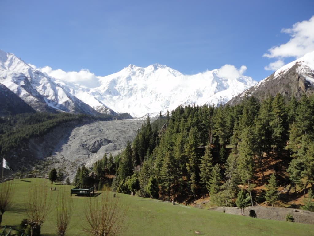
From Fairy Meadows up to the base of the 'Killer Mountain'.
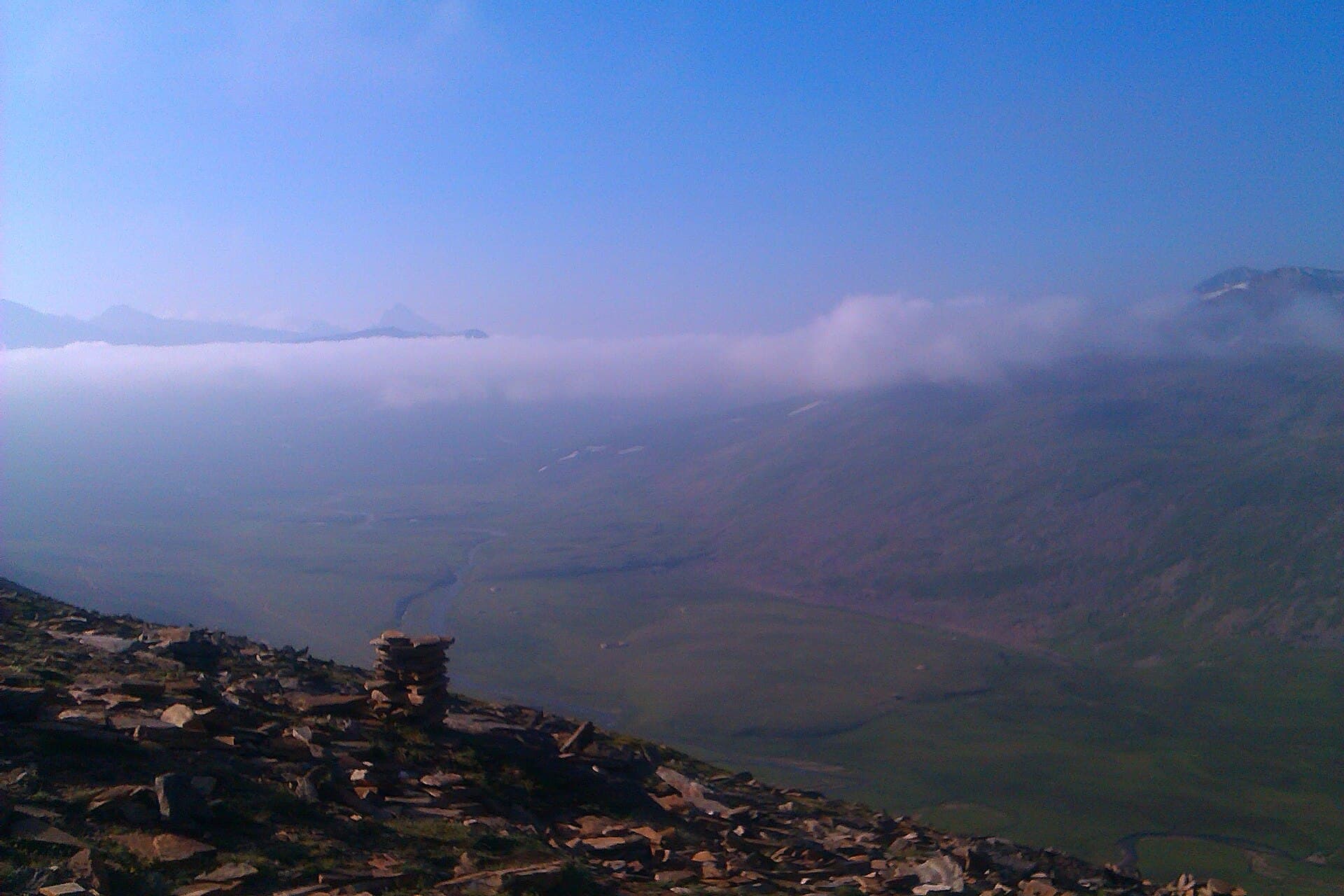
A steady climb from Hunza's Minapin village to Rakaposhi's glacier base camp.
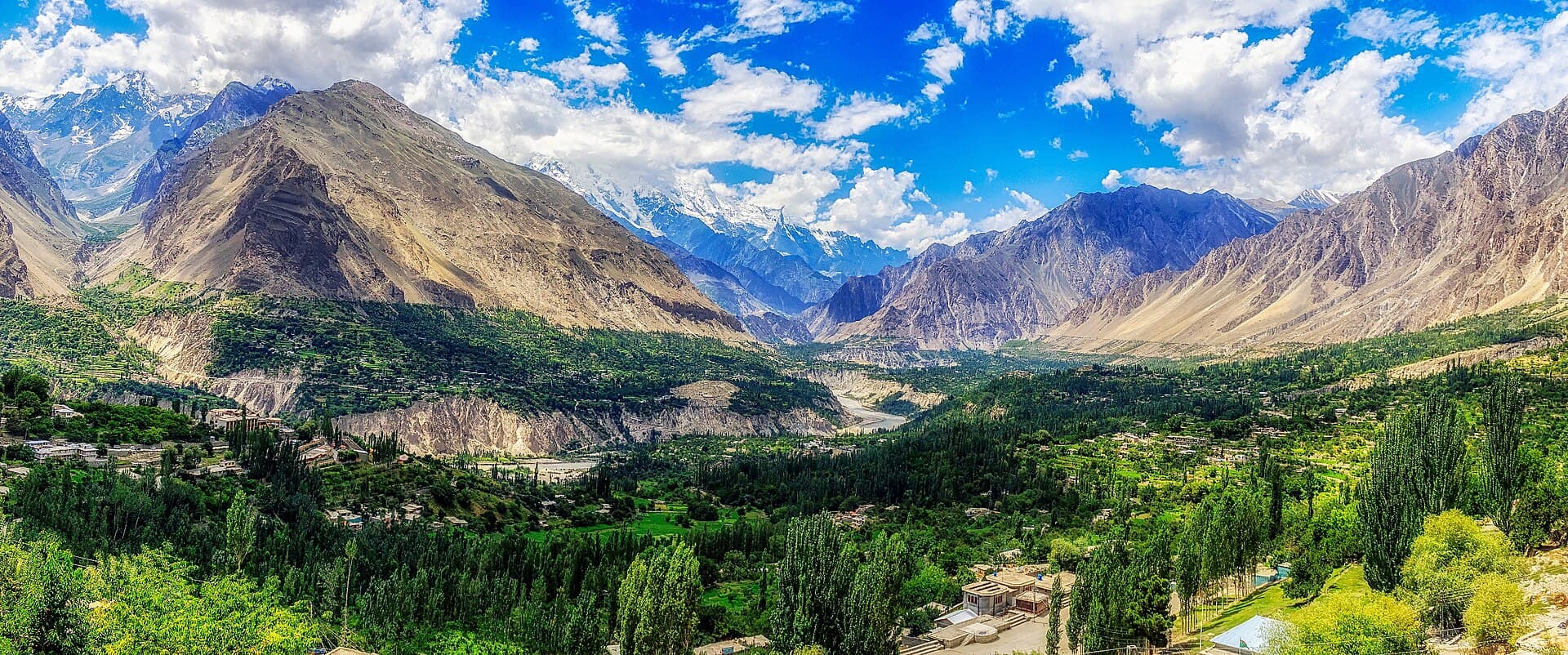
Terraced orchards, glacial peaks and centuries-old forts along the Karakoram Highway.
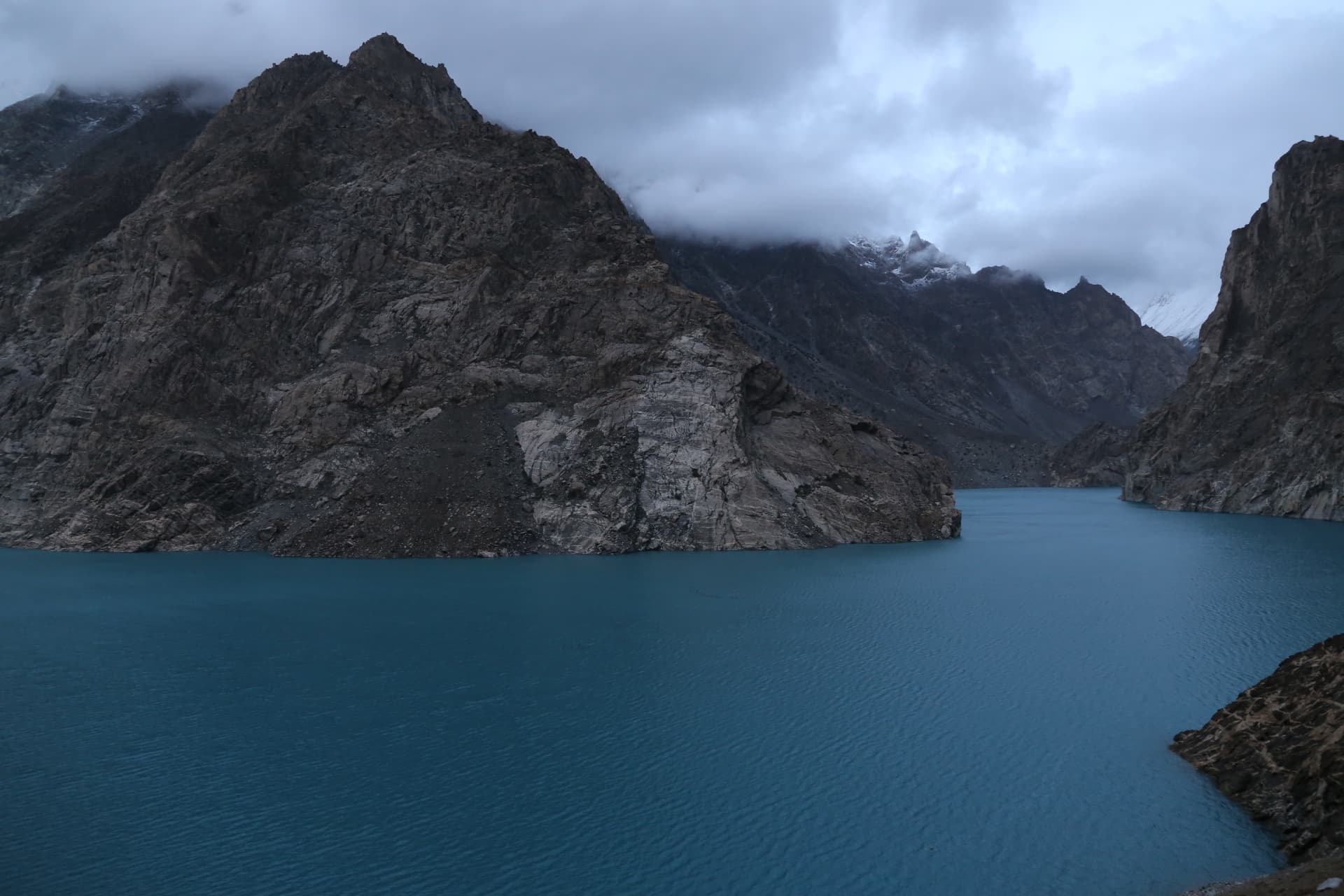
A striking turquoise lake formed by a 2010 landslide on the Hunza River.
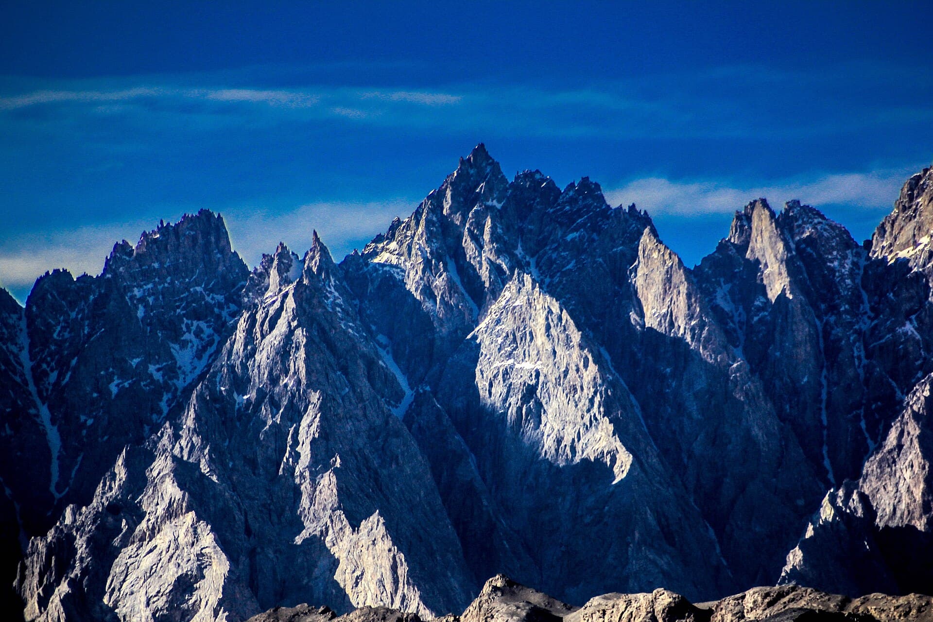
Needle-like limestone peaks rising above the Hunza River and Passu Glacier.
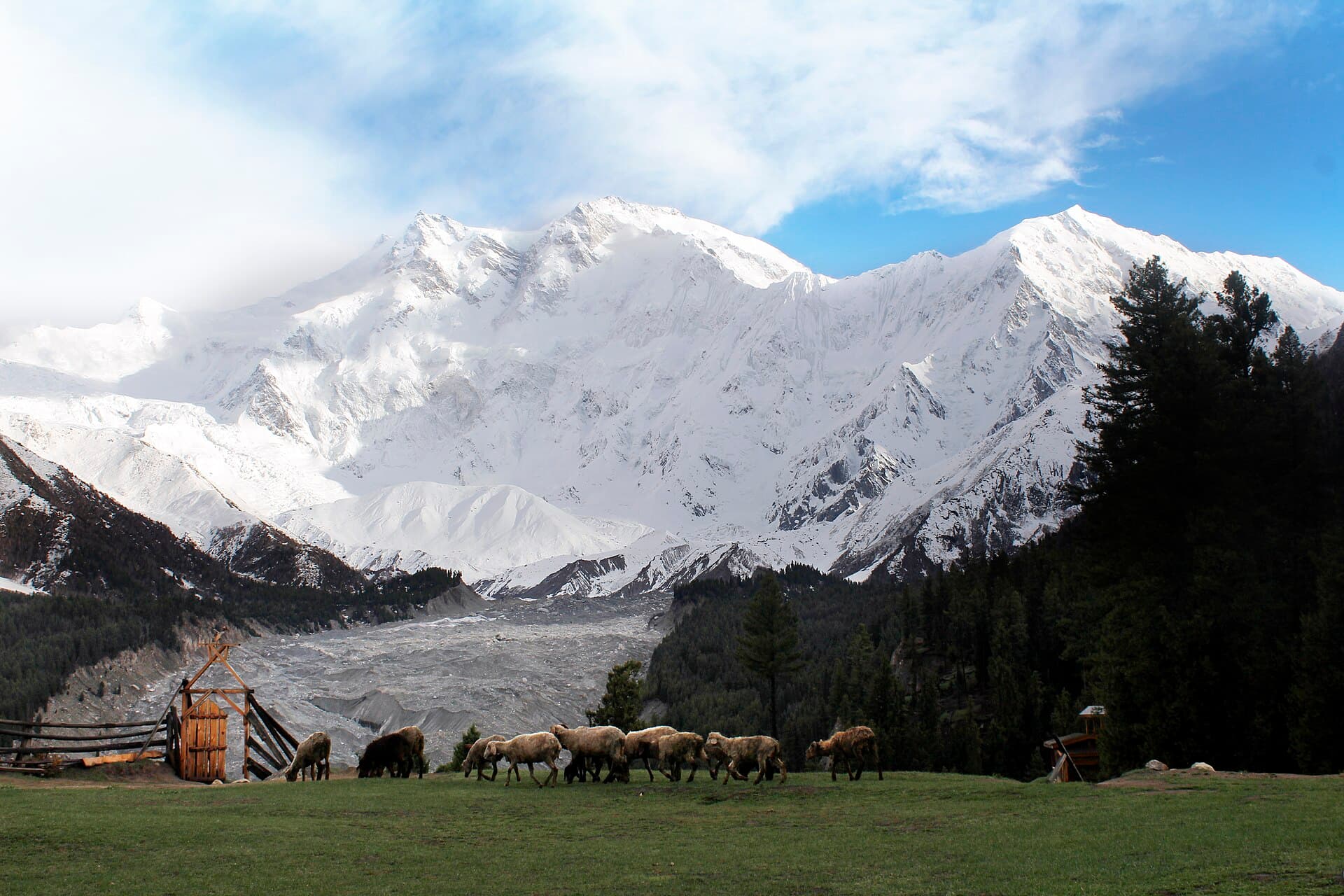
A lush alpine meadow facing Nanga Parbat, the 'Killer Mountain'.
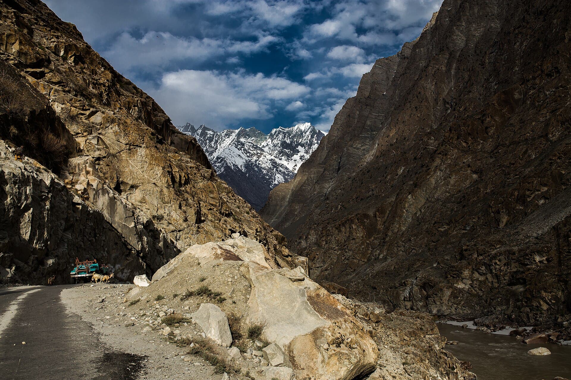
The Karakoram's gateway town, ringed by desert-like valleys and glacial lakes.
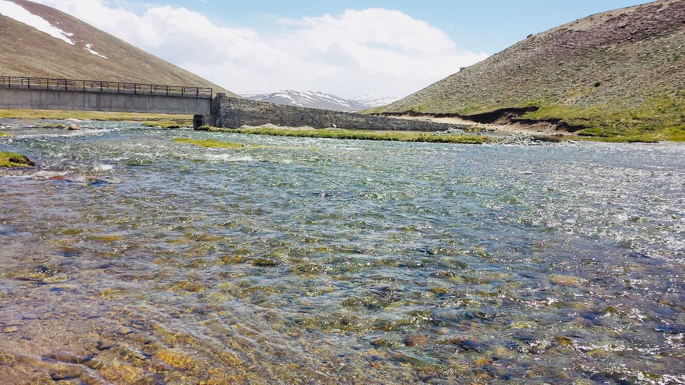
A vast high-altitude plateau known as the 'Roof of the World'.
What people who have been to Naltar Valley have shared. Everything below is a traveller's own account, not Kohistan Journey's verified information.
No trip reports from Naltar Valley yet.
Write the first oneBe the first to share a photo from Naltar Valley.
Share a photoNo traveller updates for Naltar Valley yet.
Post an updatePhotographs shared by travellers who have been here. Personal accounts, not Kohistan Journey's verified information — check anything time-sensitive locally.
No traveller posts yet
Nobody has shared a photo tagged to Naltar Valley yet. If you have been, you can be the first.