ChallengingFeatured
Needs verificationAnsoo Lake Trek
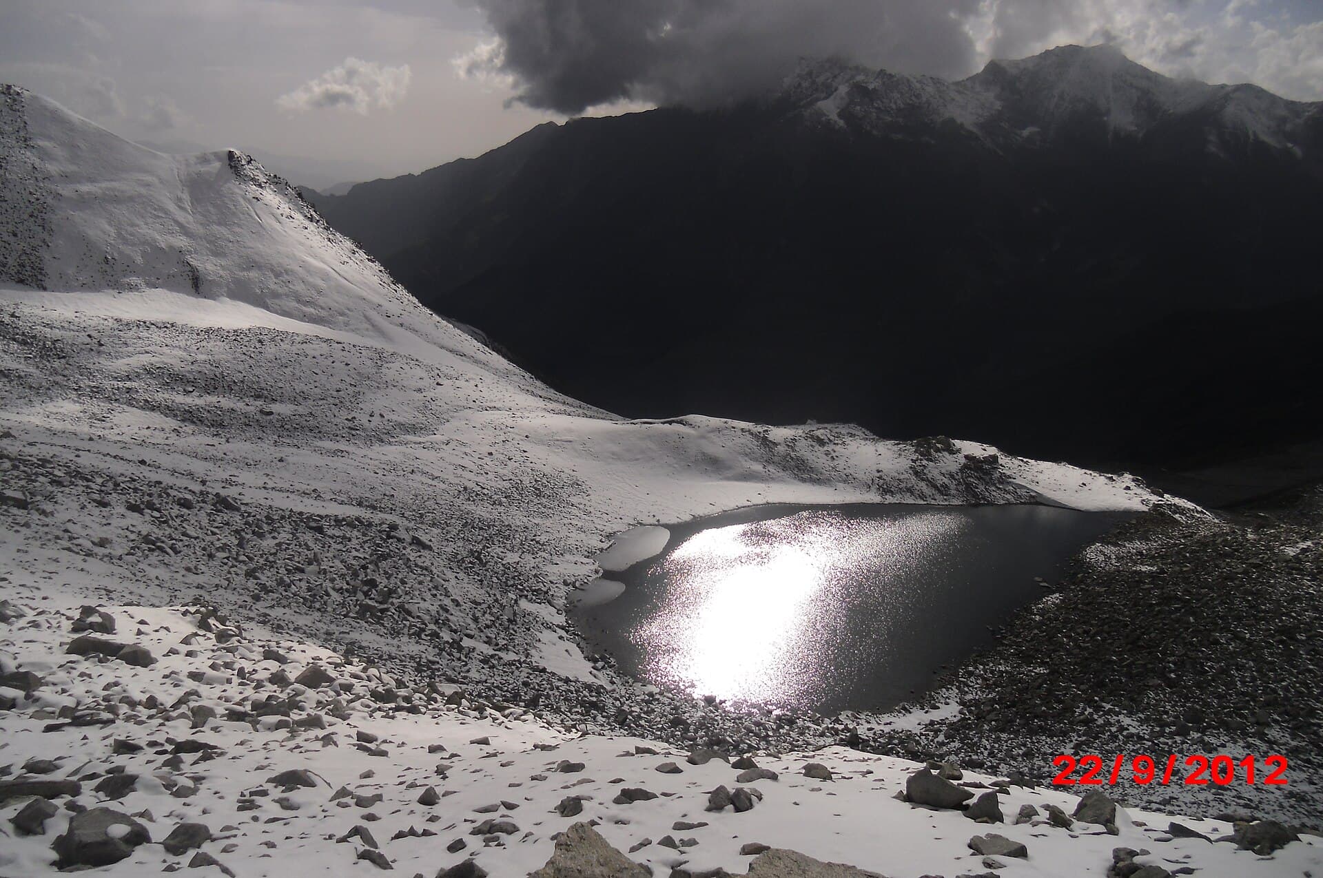
A demanding high-altitude trek to a teardrop-shaped lake above Saiful Muluk.
- Distance
- 16 km
- Duration
- 2 days
- Max elevation
- 4,245 m
- Guide
- Recommended
Best in SummerView Trek
Every difficulty level, filtered by region, duration and elevation — with an honest difficulty guide and safety disclaimer below.
Day hikes through to multi-week expedition approaches. Nothing on this site reports current trail conditions.
A general guide, not a certified grading system — always cross-check with a local guide before committing to a route.
Well-marked trails, gentle elevation gain, suitable for most fitness levels.
Longer days and steeper sections; some prior hiking experience recommended.
Sustained elevation gain, rough terrain, and multi-day exposure to weather.
High altitude, technical terrain, and remote sections requiring experience.
Multi-week, high-altitude routes requiring permits, guides, and specialist gear.
Each grade is an editorial judgement built from four things we can state openly: the route's distance and total ascent, its maximum elevation, the kind of ground underfoot, and how far it is from help. Every trek page shows those factors alongside its grade, names who reviewed it, and flags when the published numbers would suggest a different band.
What a grade deliberately does not include is current conditions. Snow, high water, or bad weather can make any route here significantly harder than its band suggests, and none of that is tracked on this site.
Safety disclaimer
Distances, durations and elevations shown across Kohistan Journey are approximate and marked Needs verification until confirmed by a contributor. Trail conditions, permit requirements, weather and rescue availability change frequently and are not covered yet. Always trek with a licensed local guide, register with local authorities where required, and check current conditions before departing.
46 treks found
A demanding high-altitude trek to a teardrop-shaped lake above Saiful Muluk.
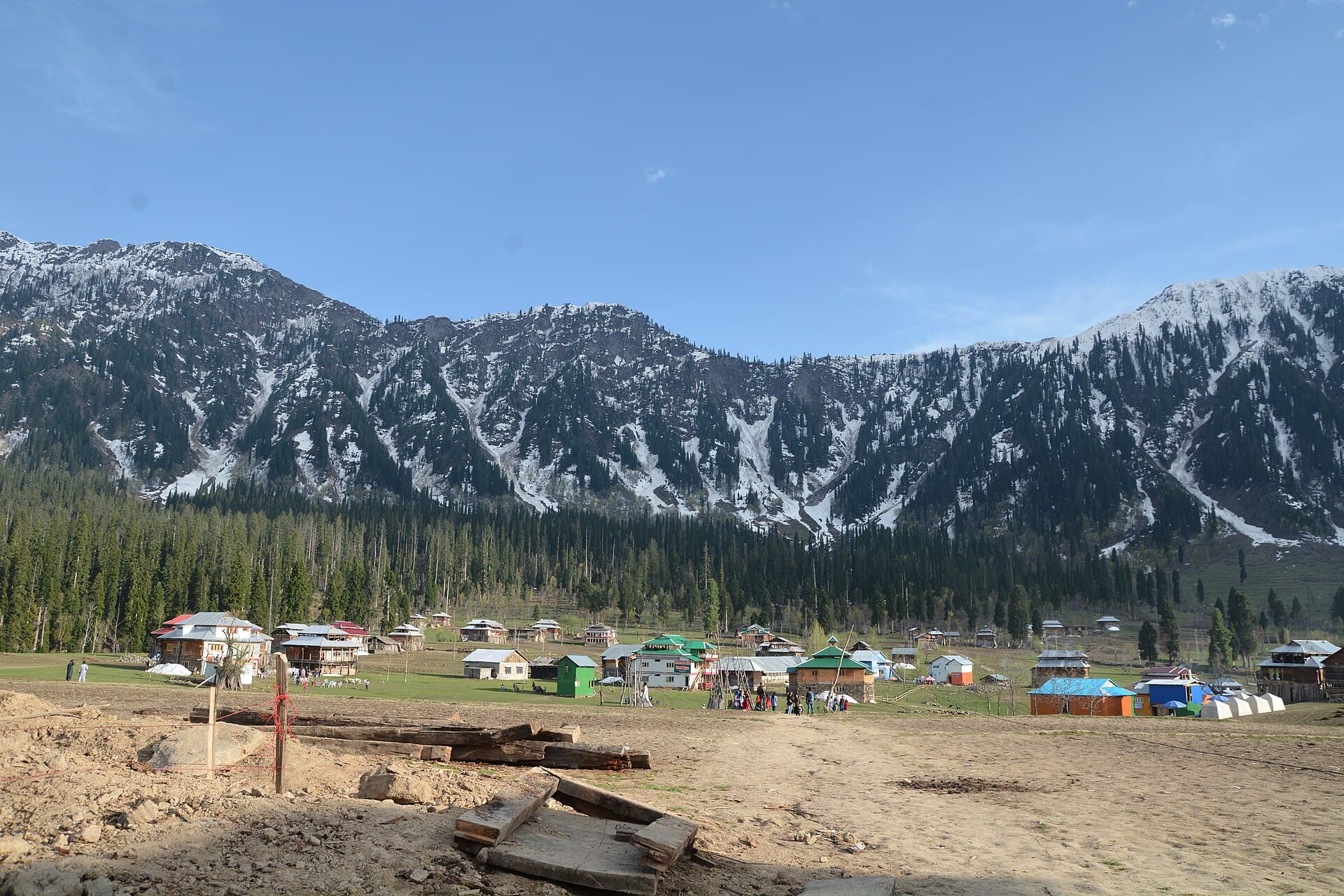
A short, scenic climb from Kel to the meadow hamlet of Arang Kel.
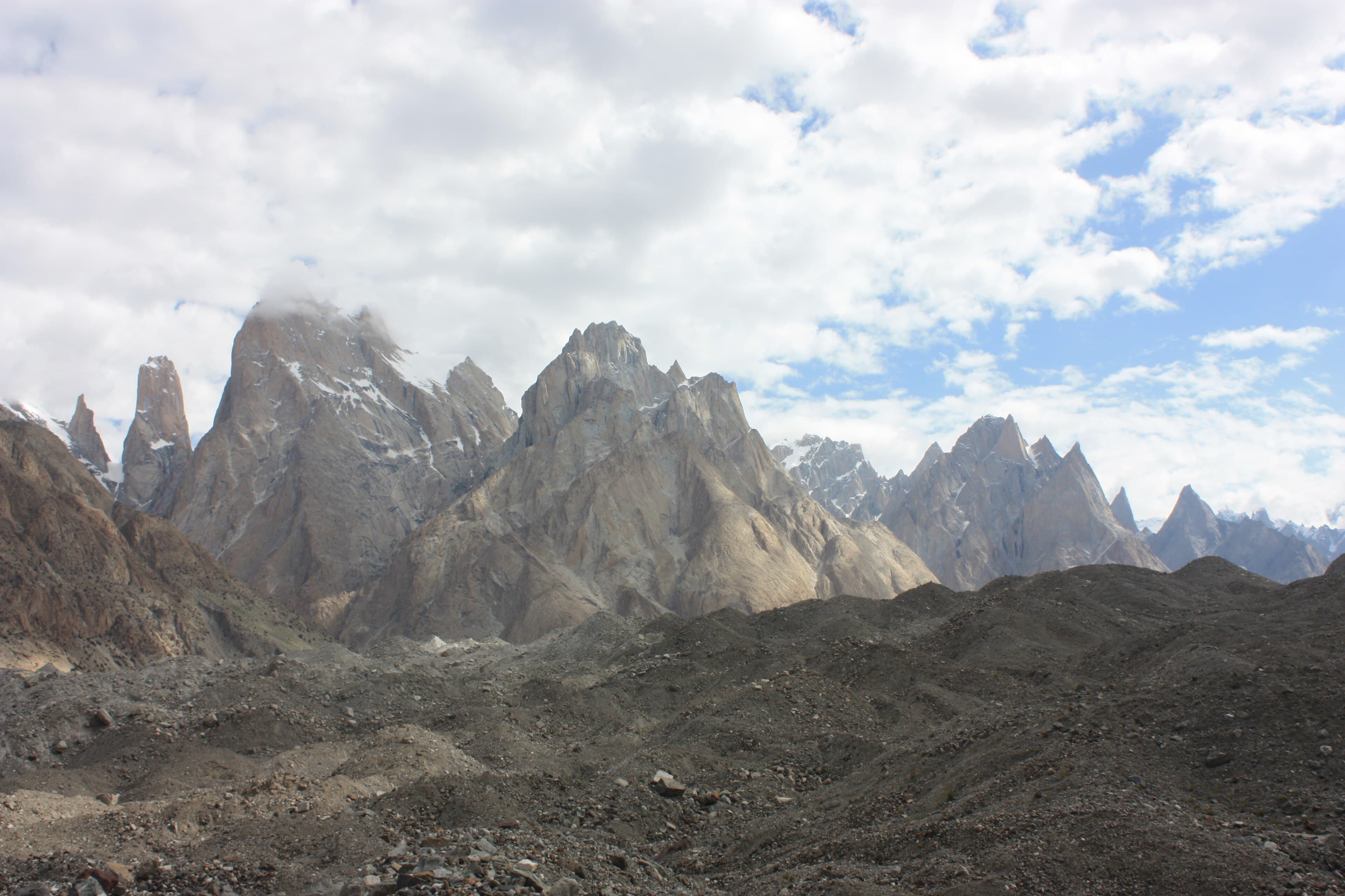
The lower Baltoro, from Askole past Paiju to the Trango Towers and Urdukas.
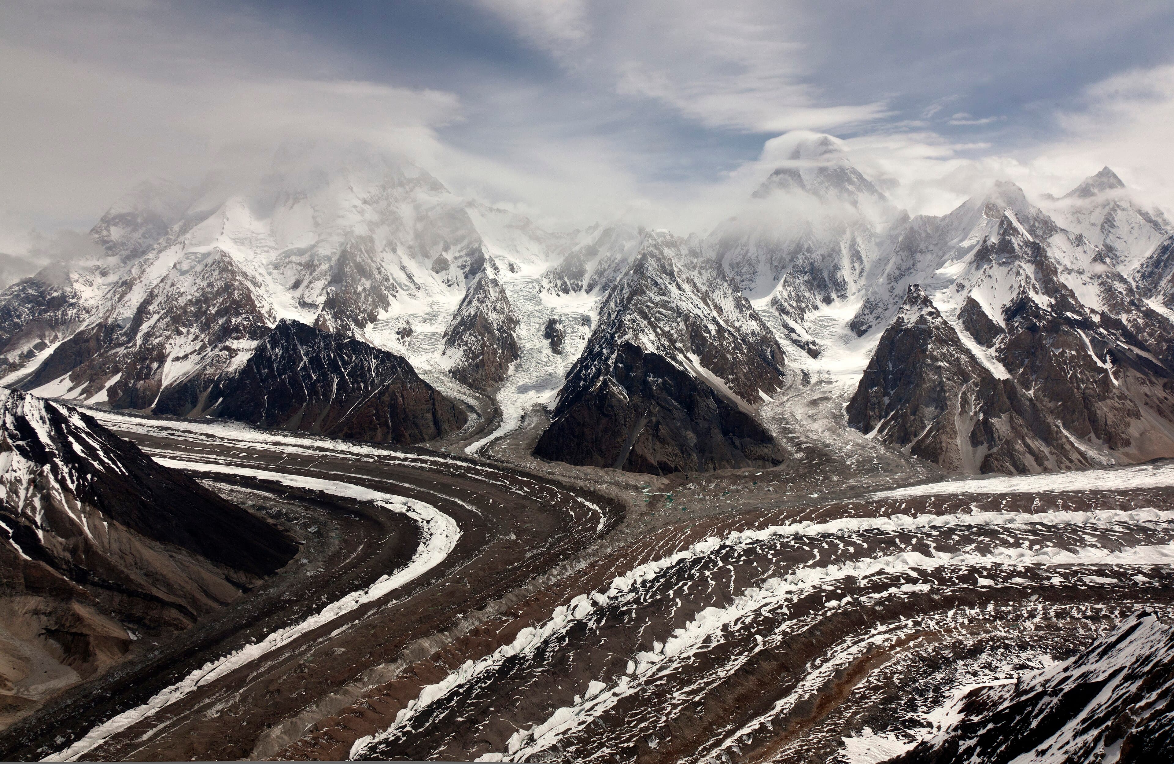
The Baltoro Glacier route as far as Concordia, where four 8,000 m peaks meet.
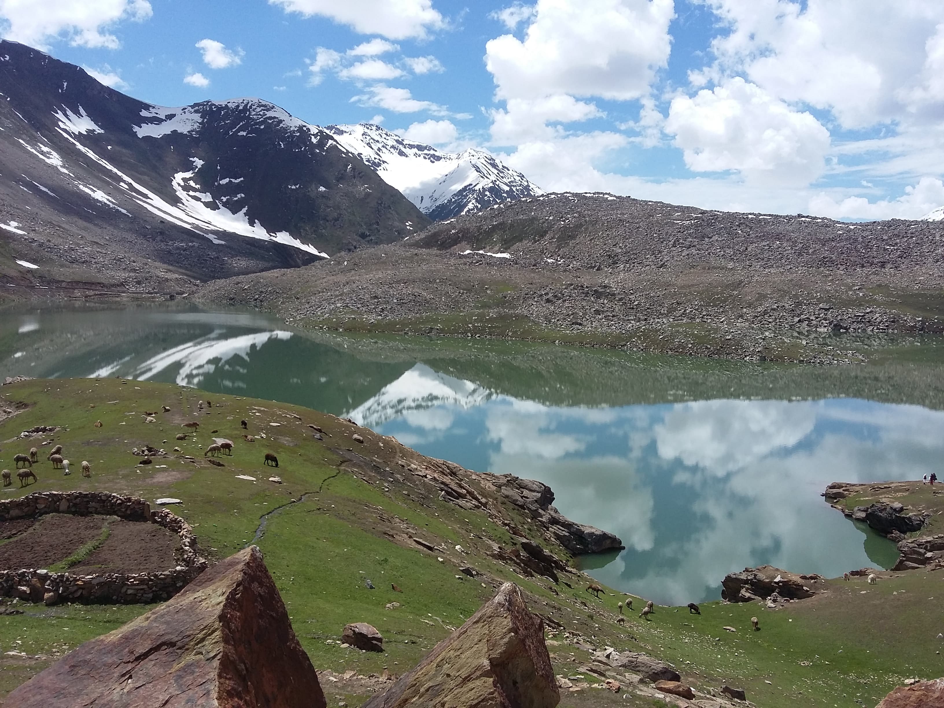
A long valley walk from Besal to a green alpine lake in the upper Kaghan.
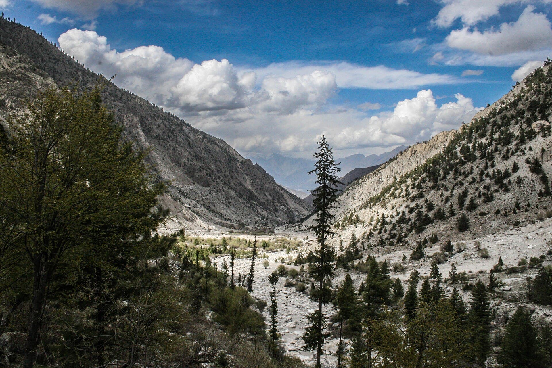
A short jeep-and-foot approach from Tato to the Fairy Meadows plateau.
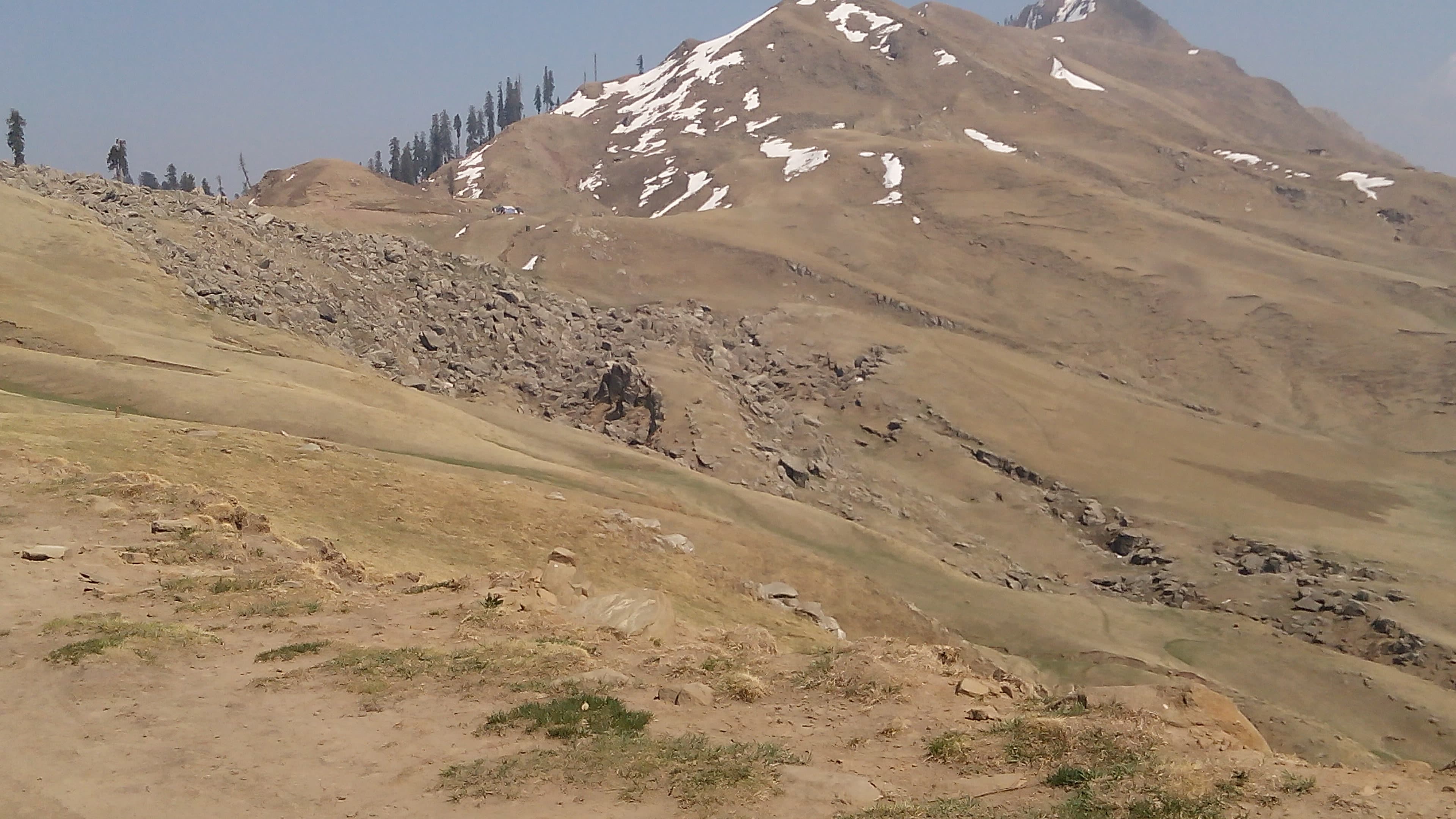
A ridge walk to a summit above Bagh with views across Azad Kashmir.
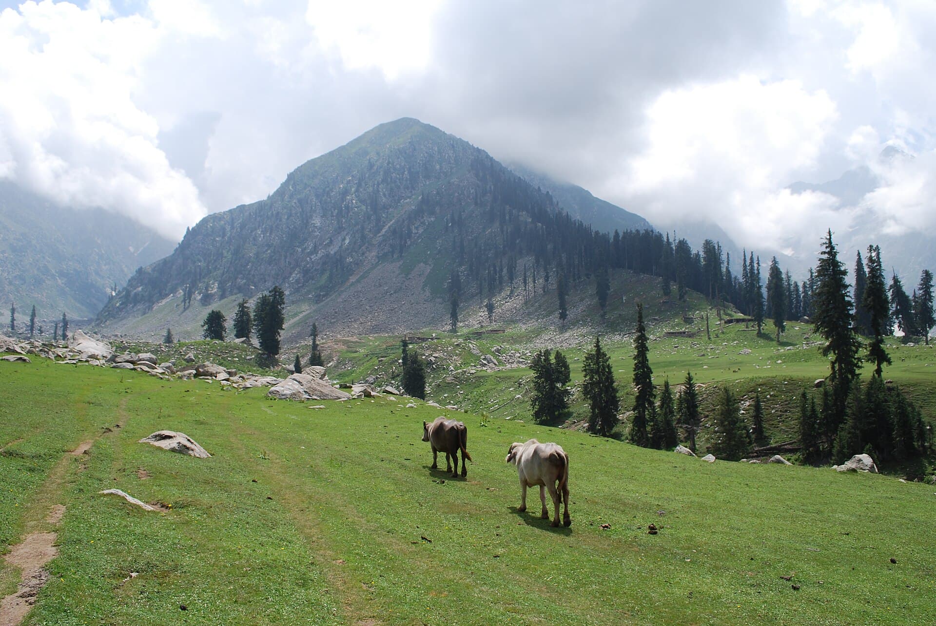
A ship-shaped alpine meadow above the Utror Valley.
The classic Baltoro Glacier approach to the base of the world's second-highest peak.
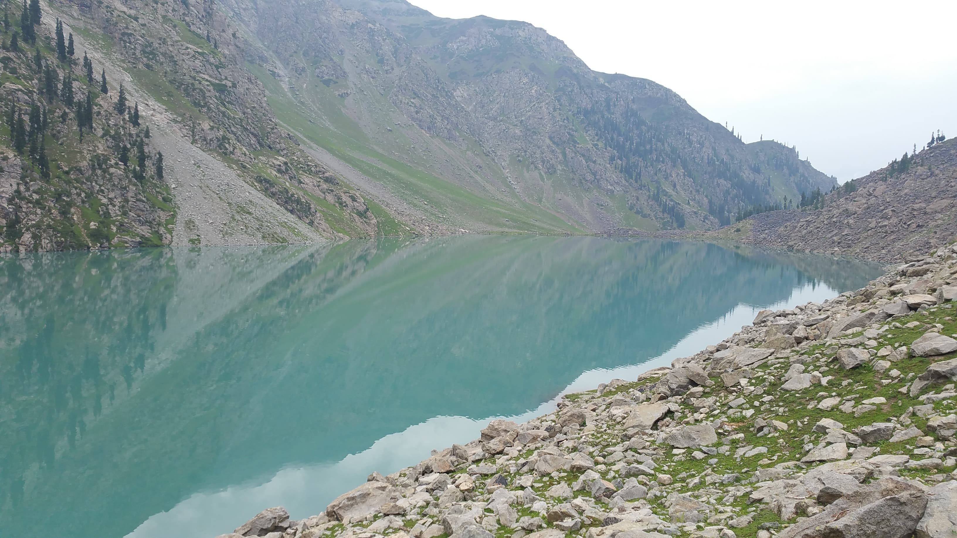
A forested climb from Utror to an alpine lake in upper Swat.
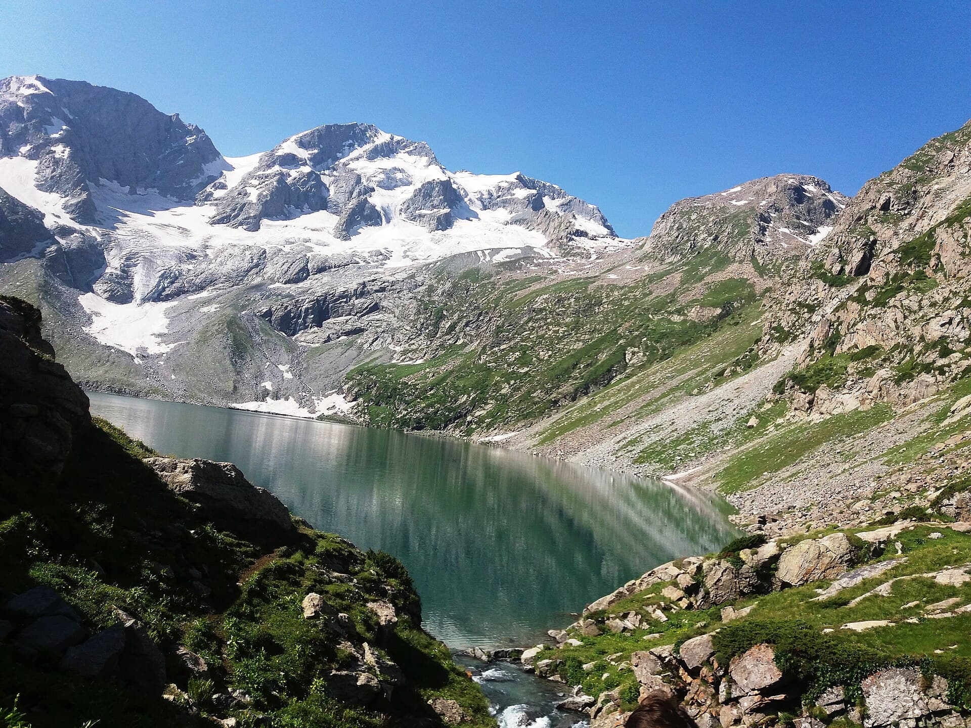
A bowl-shaped alpine lake reached from the Kumrat Valley.
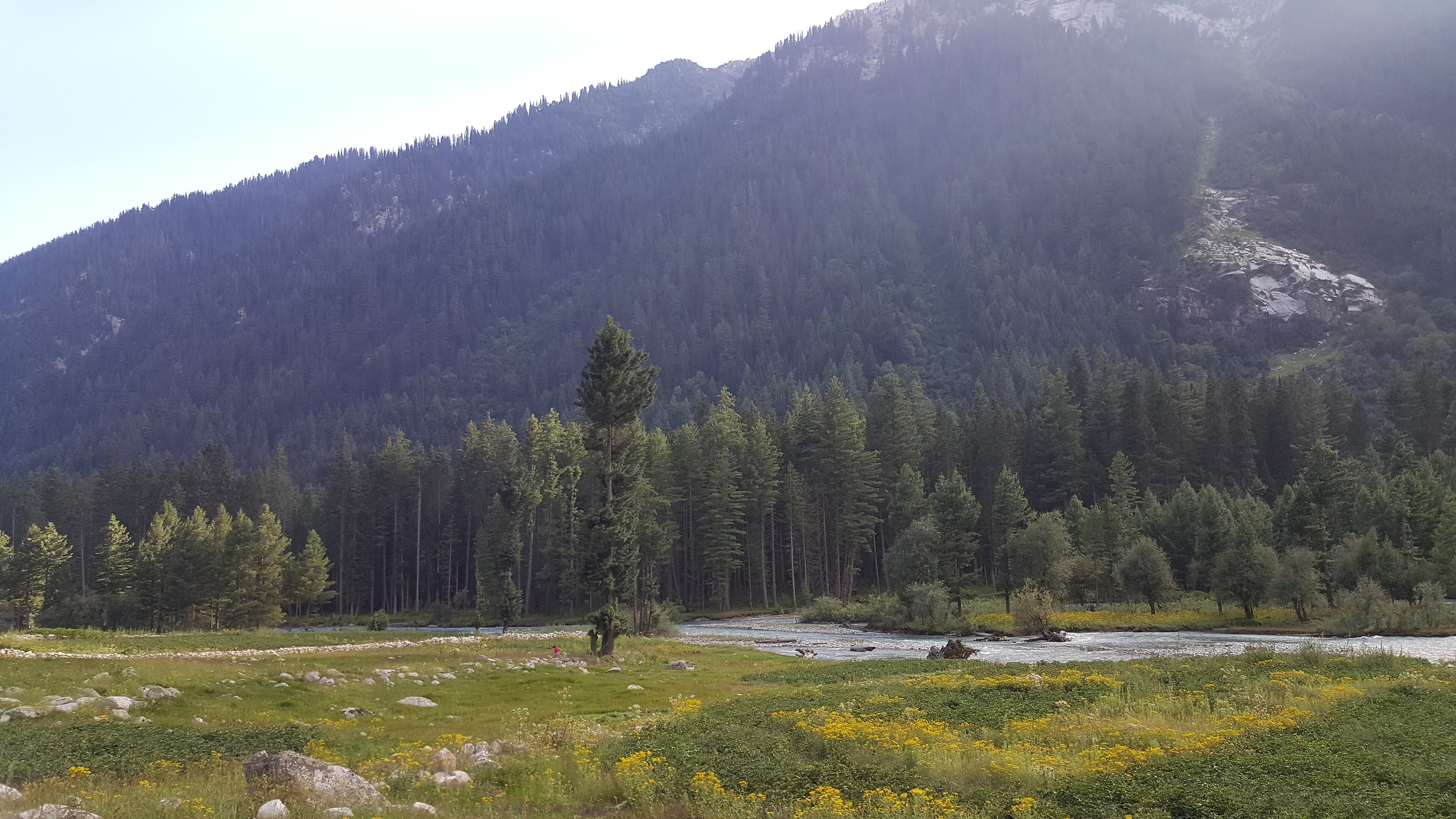
A gentle riverside walk through the deodar forests of the Kumrat Valley.
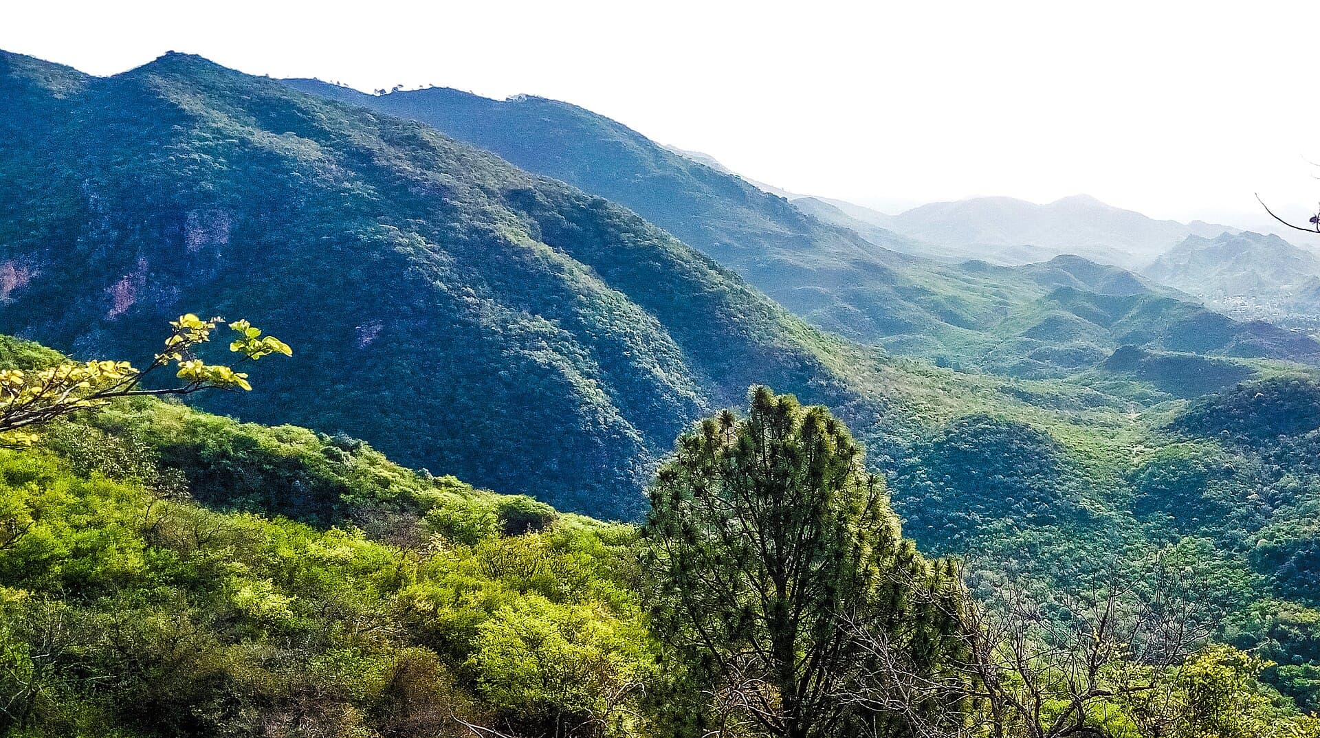
One of Islamabad's most popular day hikes, close to the city centre.
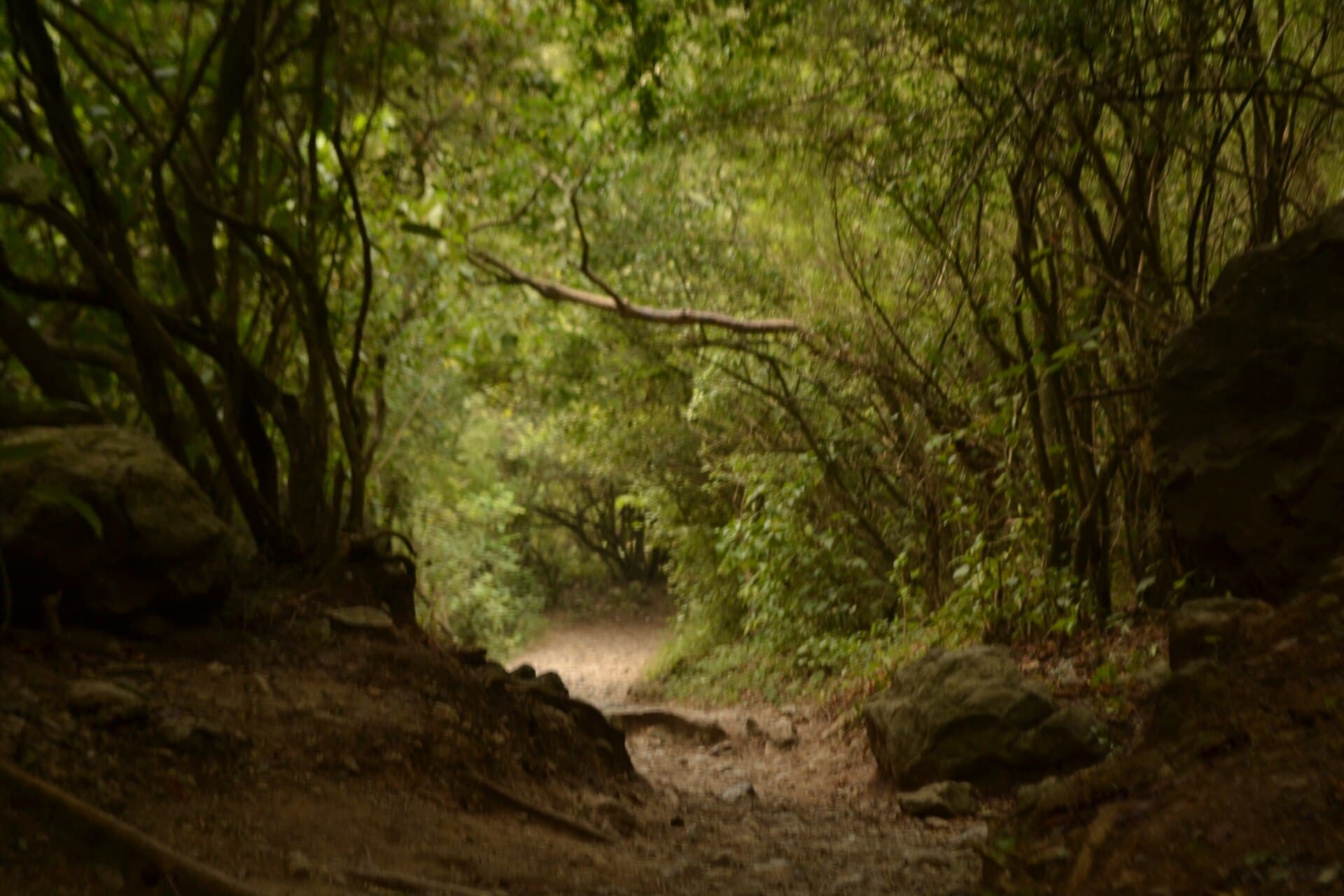
A longer, steeper Margalla Hills trail with wide city viewpoints.
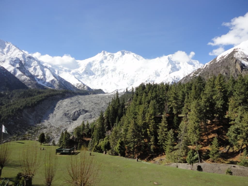
From Fairy Meadows up to the base of the 'Killer Mountain'.
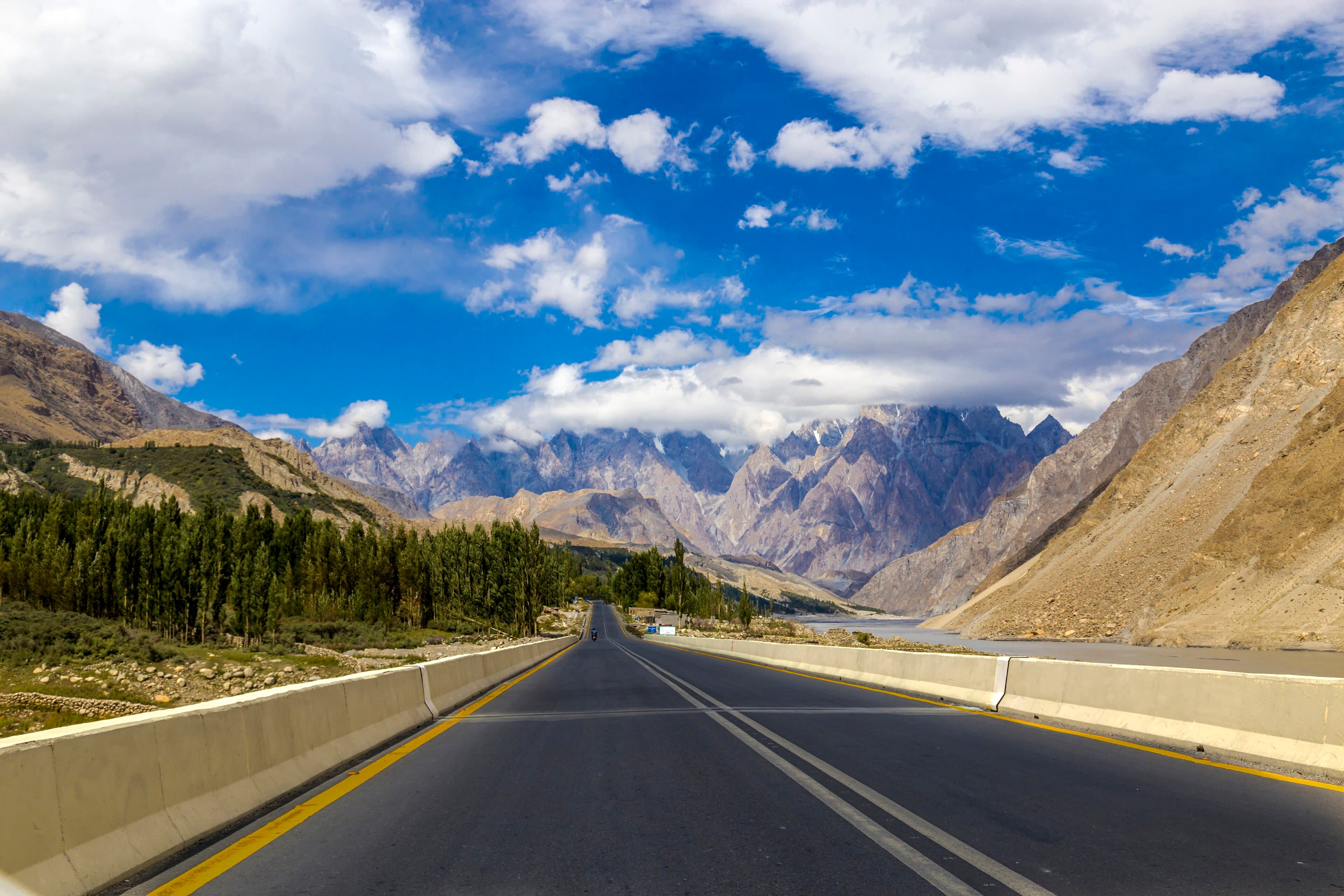
A high meadow above Passu with views over the Passu and Batura glaciers.
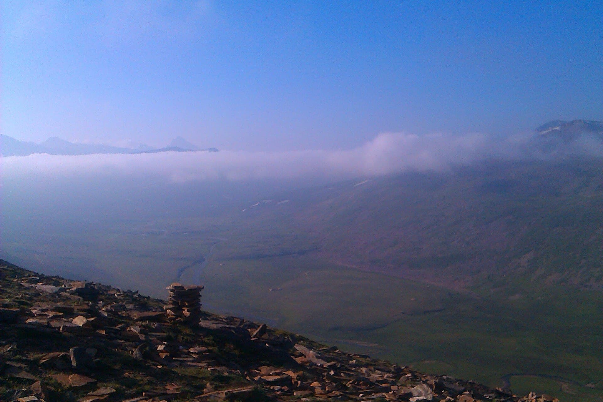
A steady climb from Hunza's Minapin village to Rakaposhi's glacier base camp.
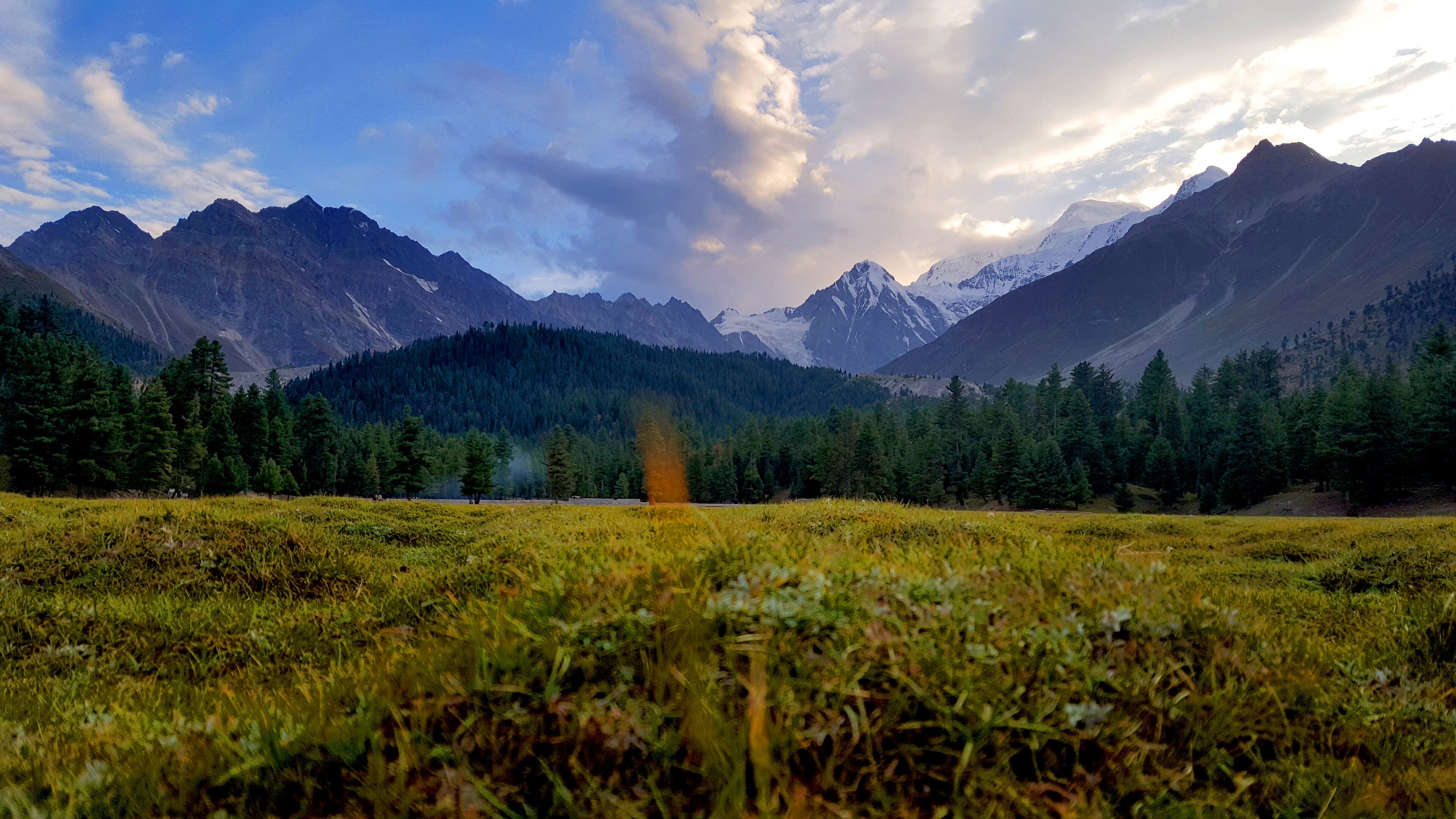
Forest and meadow walking above Astore, facing the east side of Nanga Parbat.
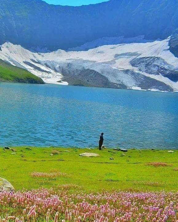
A glacial lake trek above the Neelum Valley, reached via Dowarian.
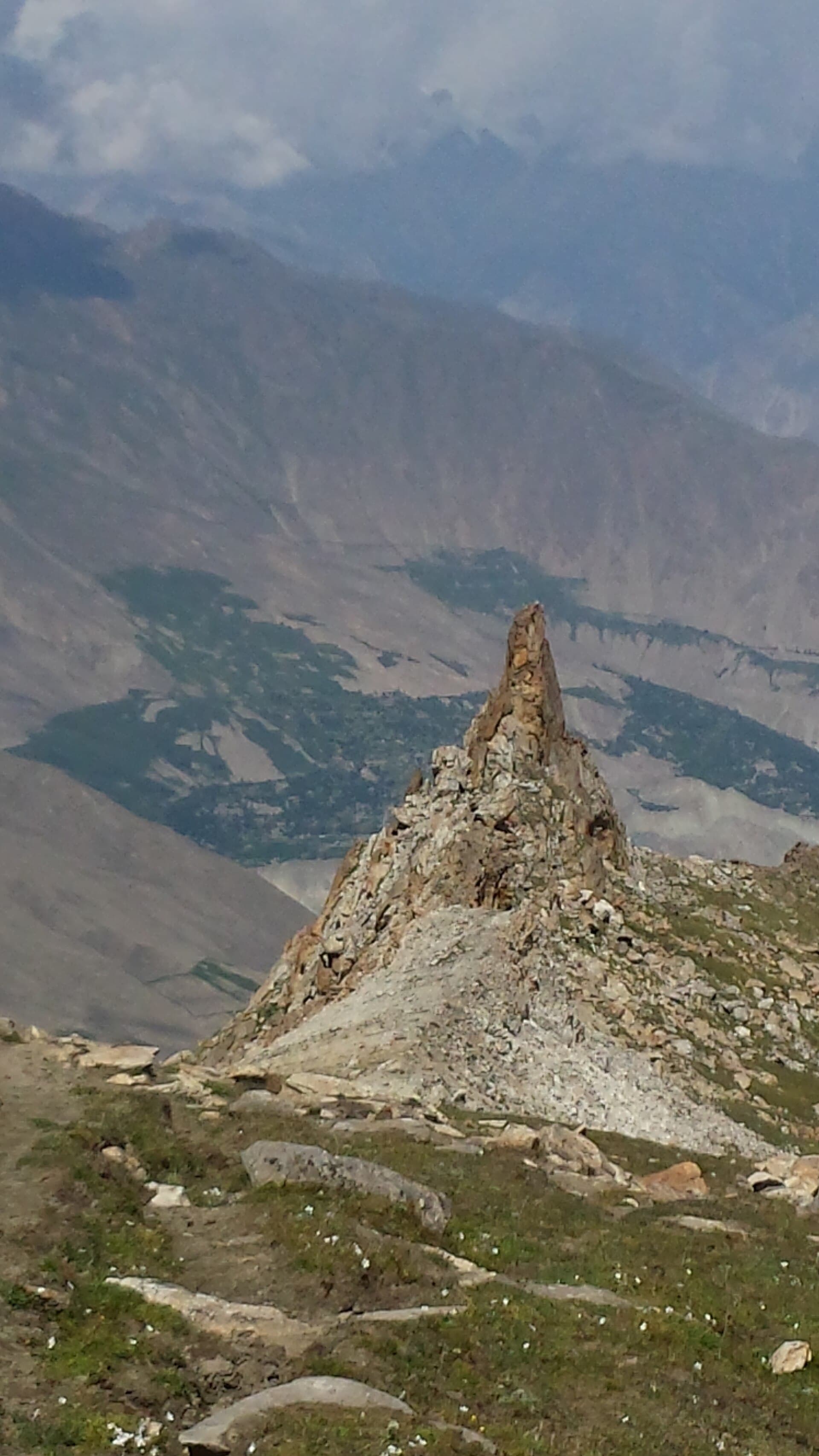
One of Pakistan's highest alpine lakes, above the Nagar valley.
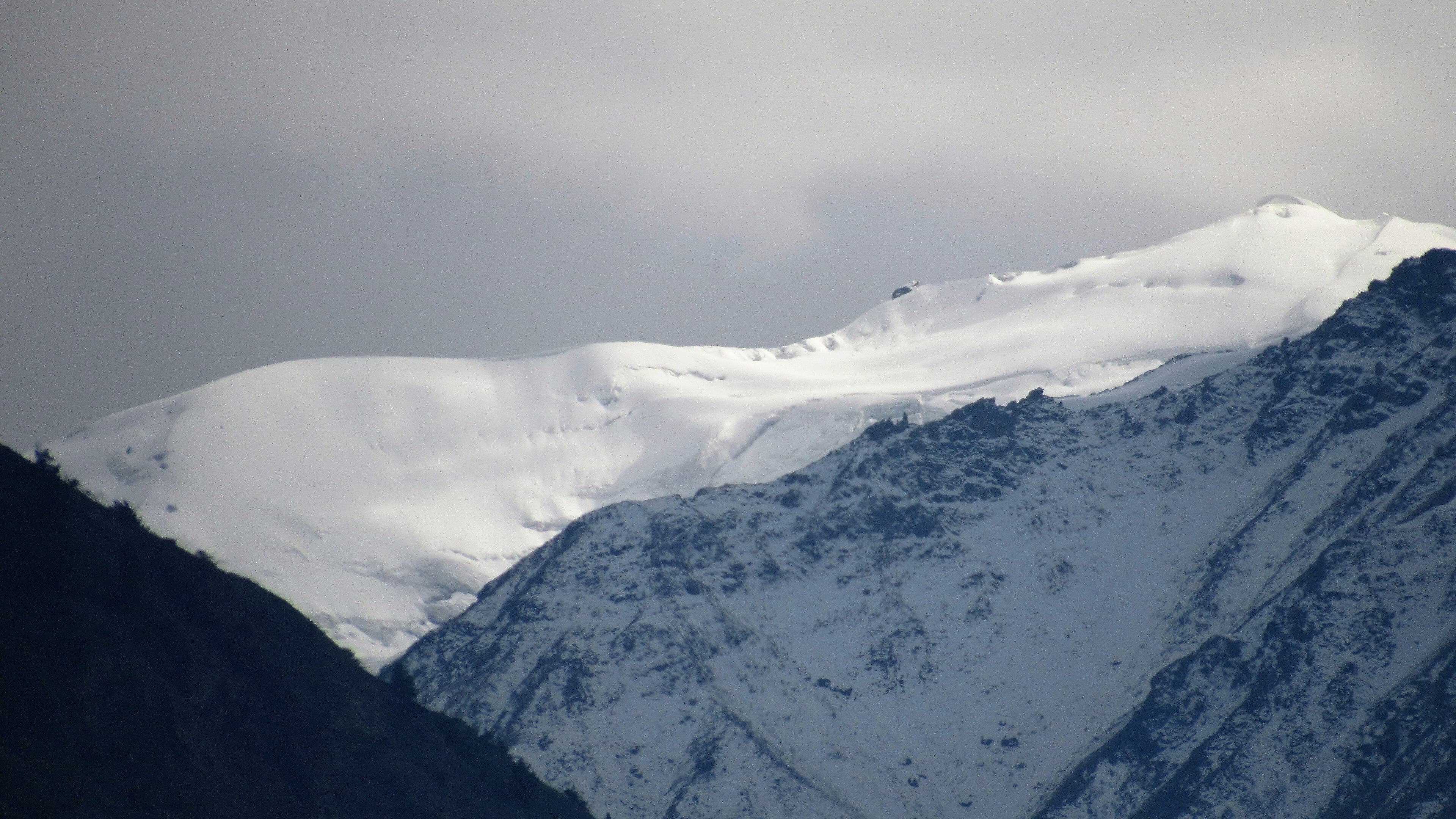
A steep climb from Karimabad to the meadow beneath Ultar Sar.
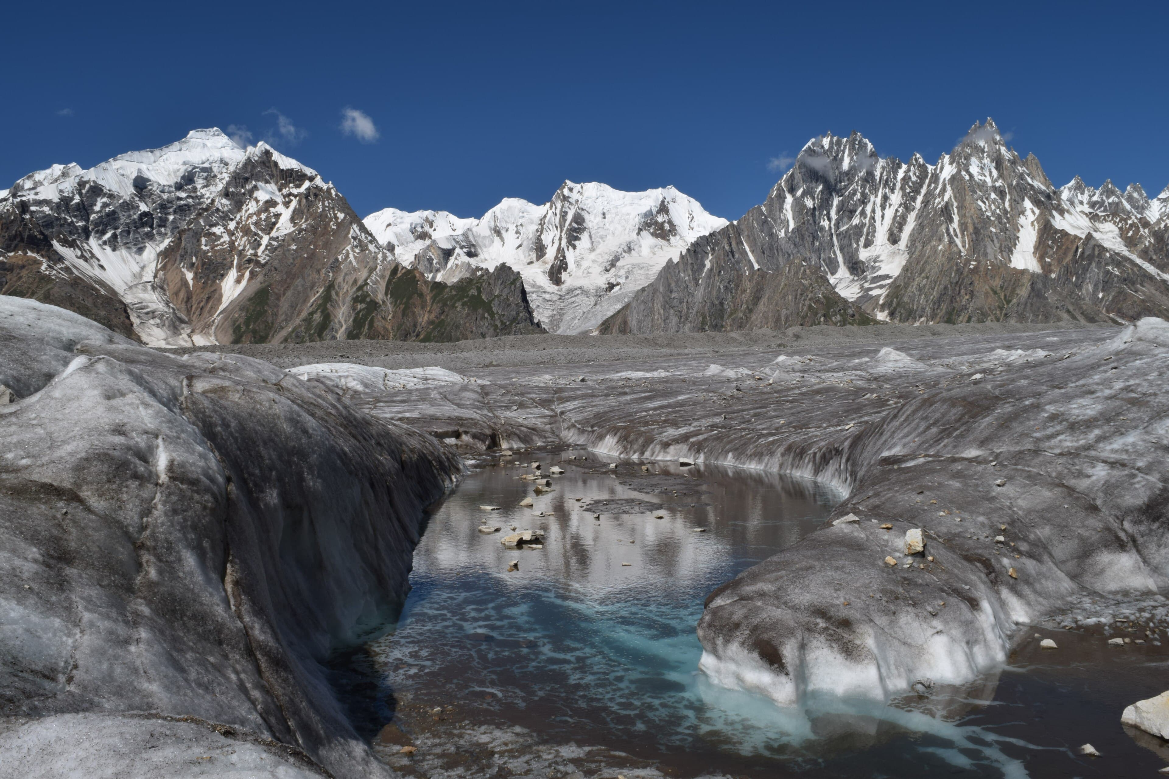
A multi-day glacier route from Askole up the Biafo, the approach used for Snow Lake and the Hispar traverse.
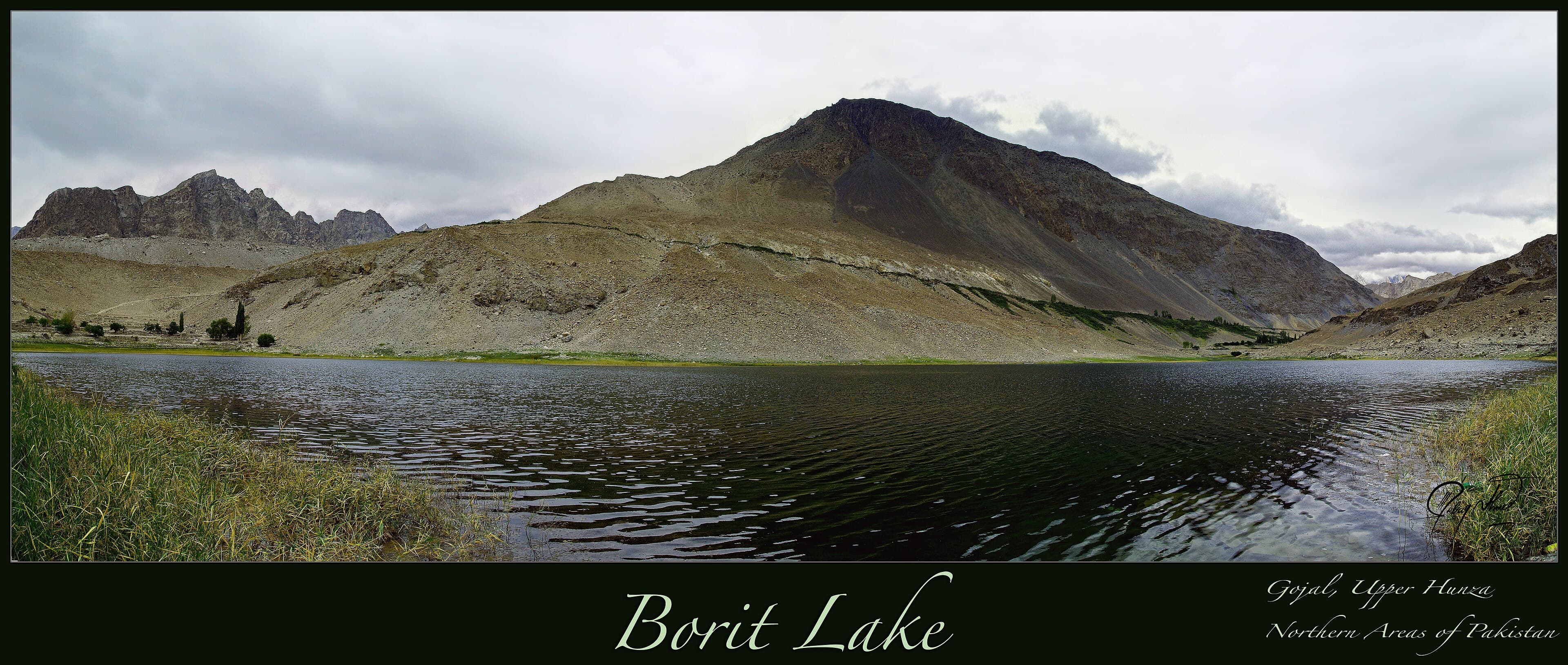
An easy walk around a small brackish lake above Gulmit, known for migrating birds in spring and autumn.
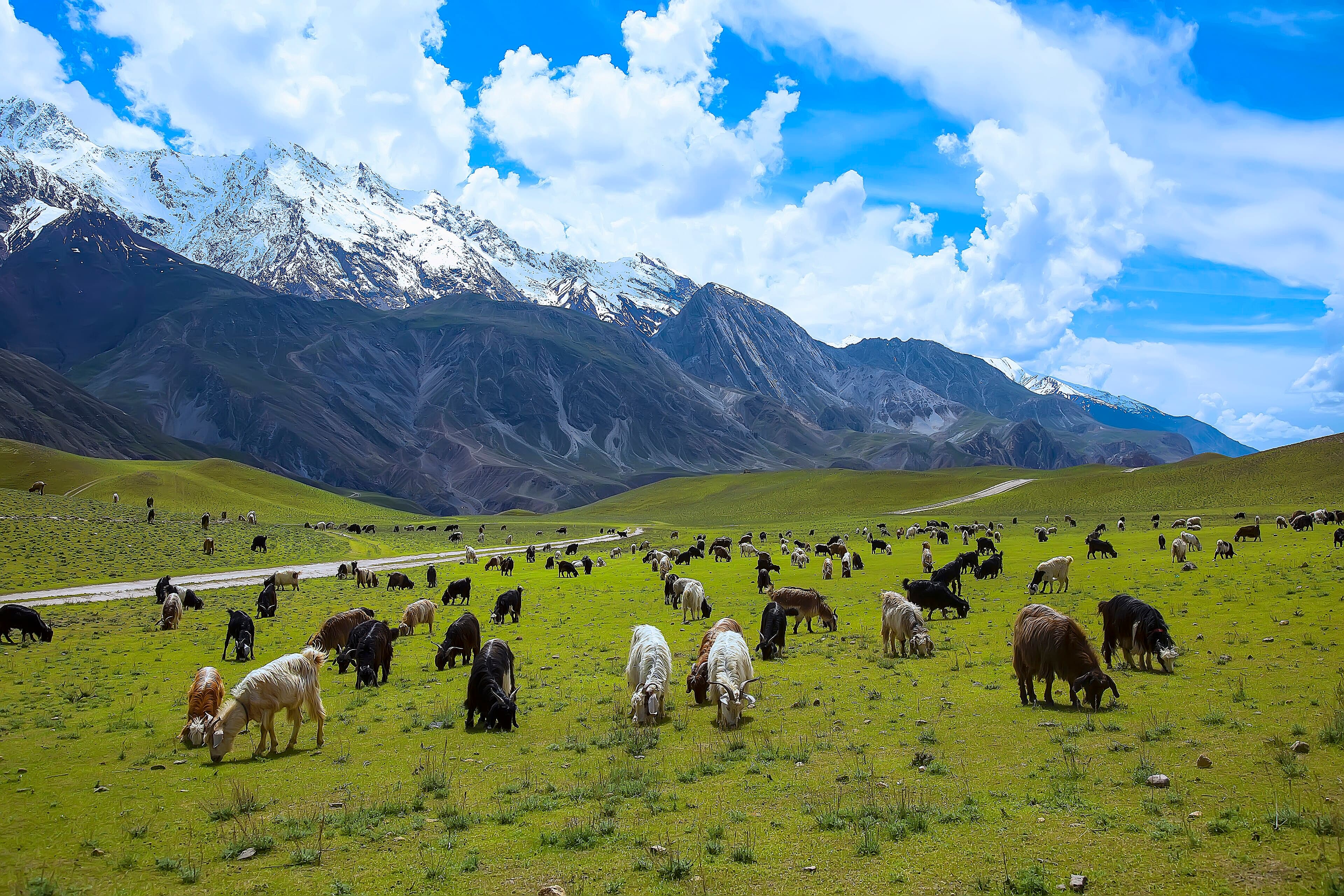
Valley walking inside Chitral Gol National Park, one of the strongholds of the Kashmir markhor.
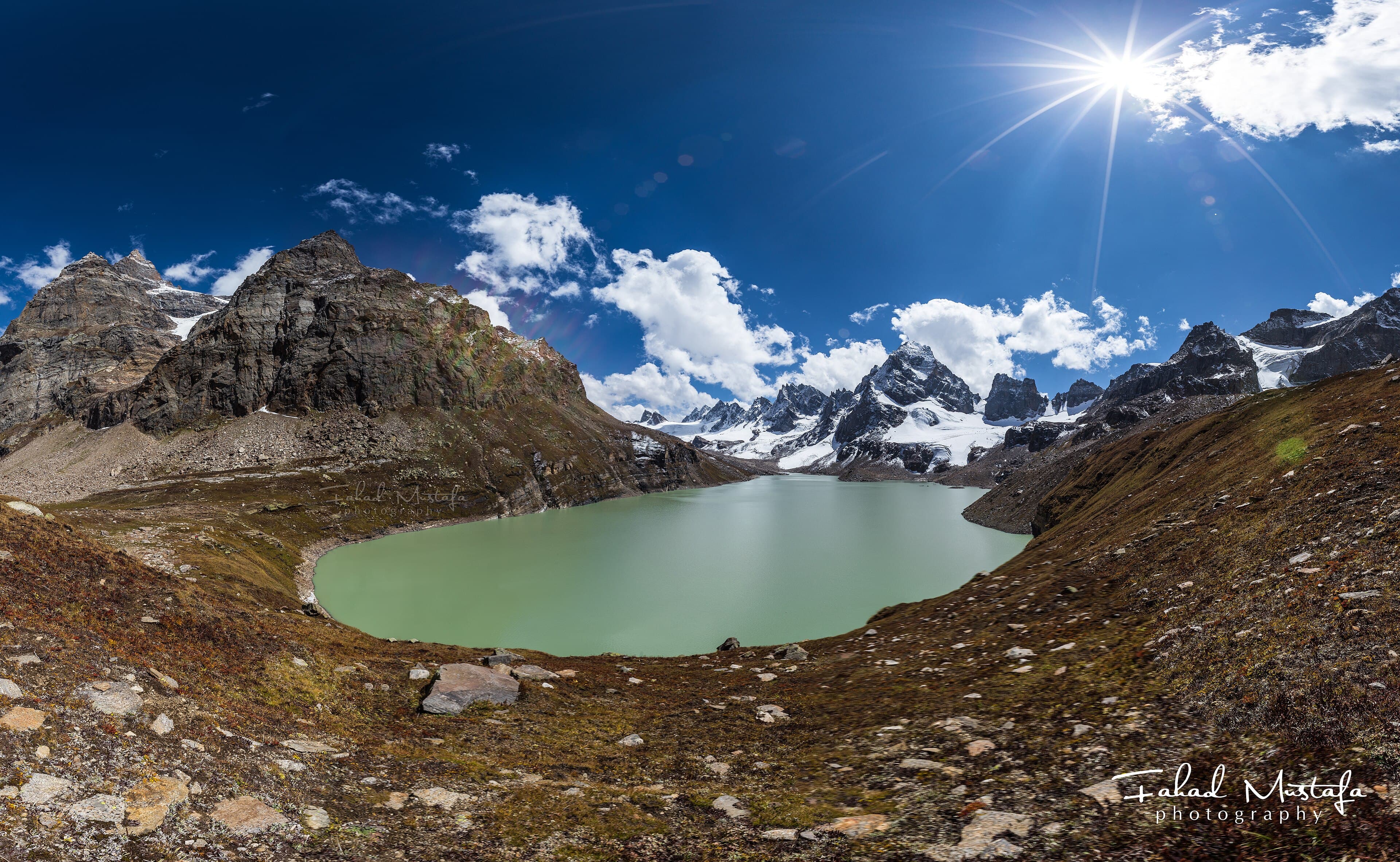
A steep climb from the Shounter Valley to a high glacial lake beneath snow-covered ridges.
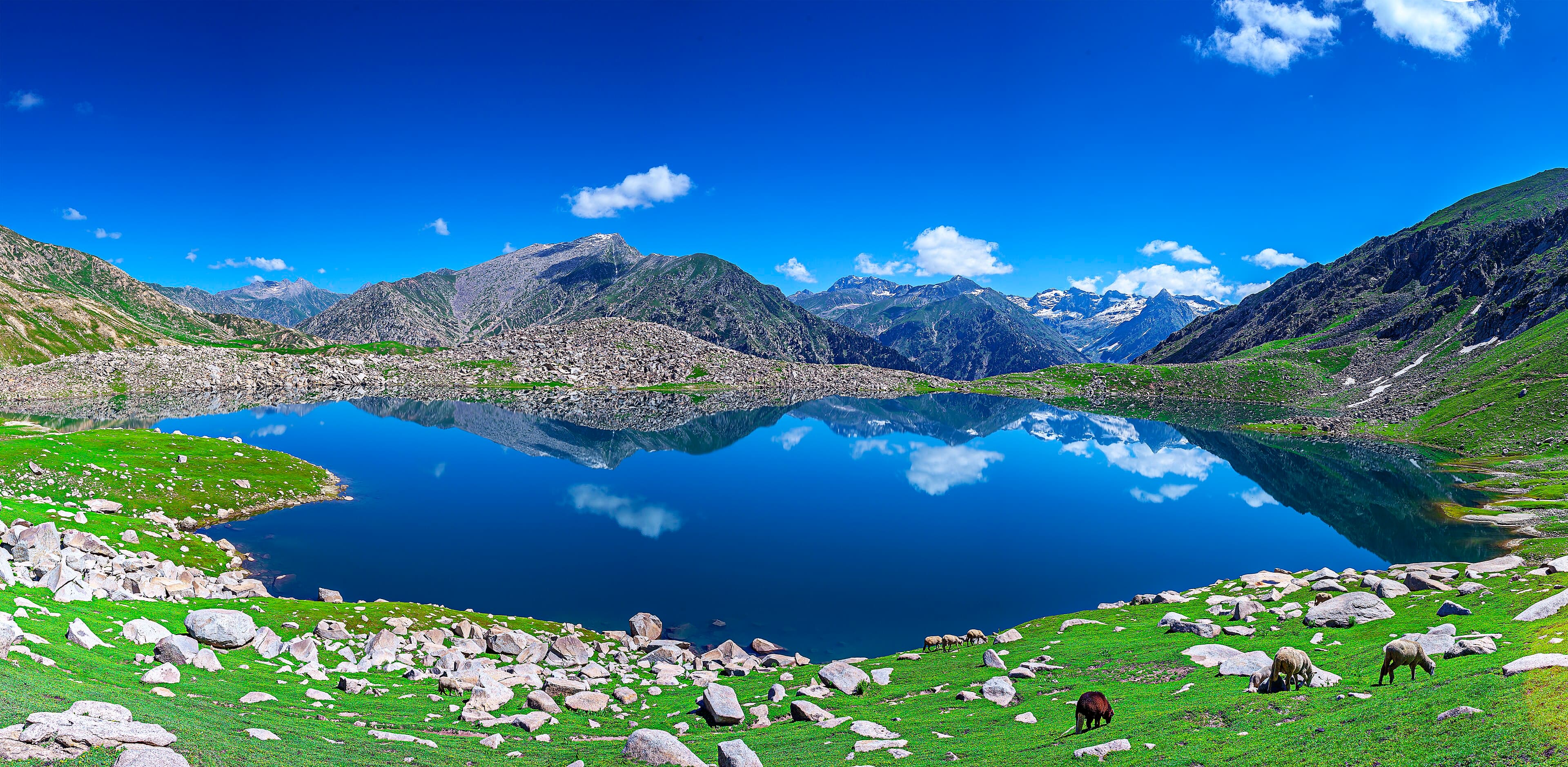
A forested climb from the Bahrain side of Swat to an alpine lake below the Kohistan ridges.
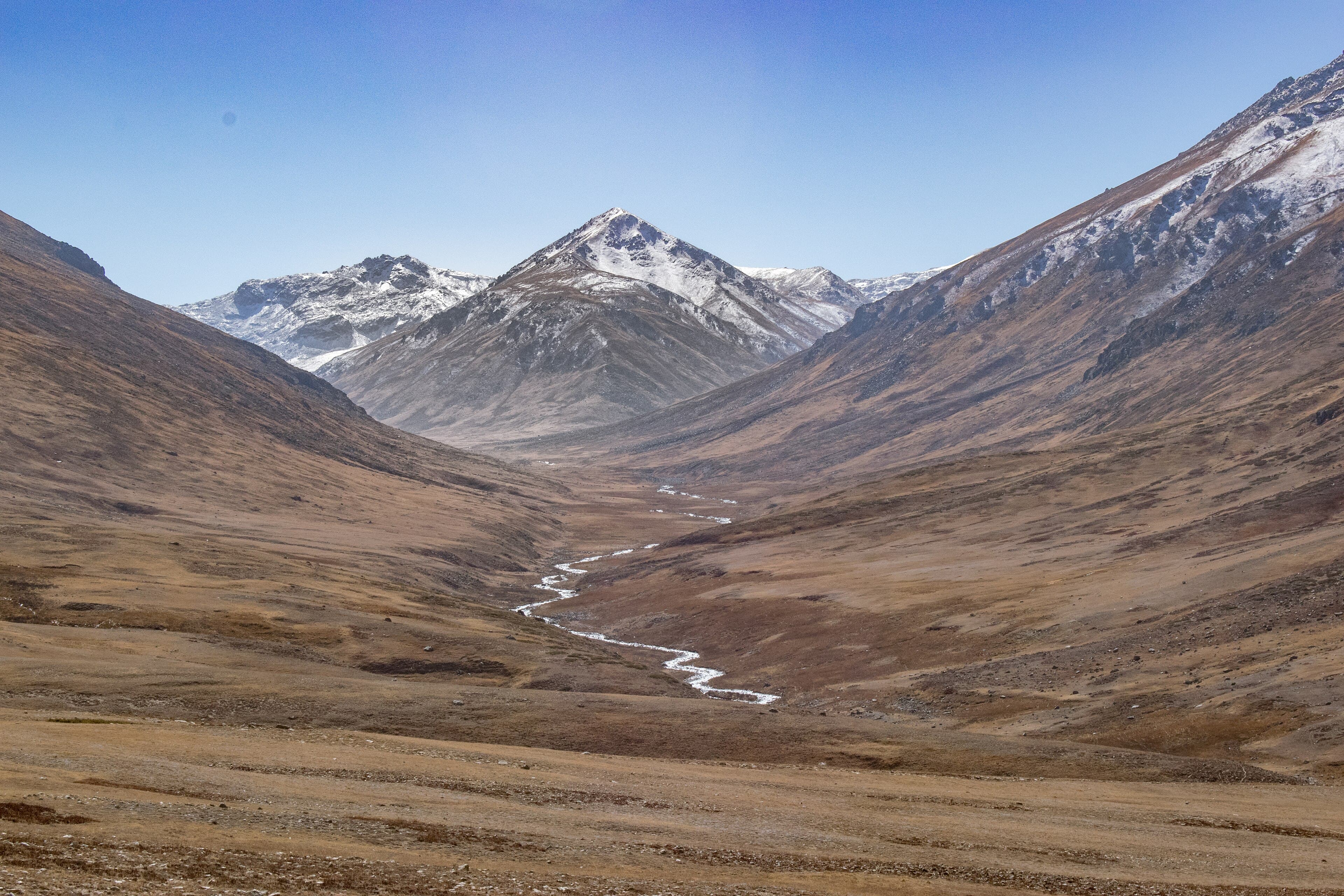
Open walking across the high plateau between Skardu and Astore, one of the highest plains in the world.
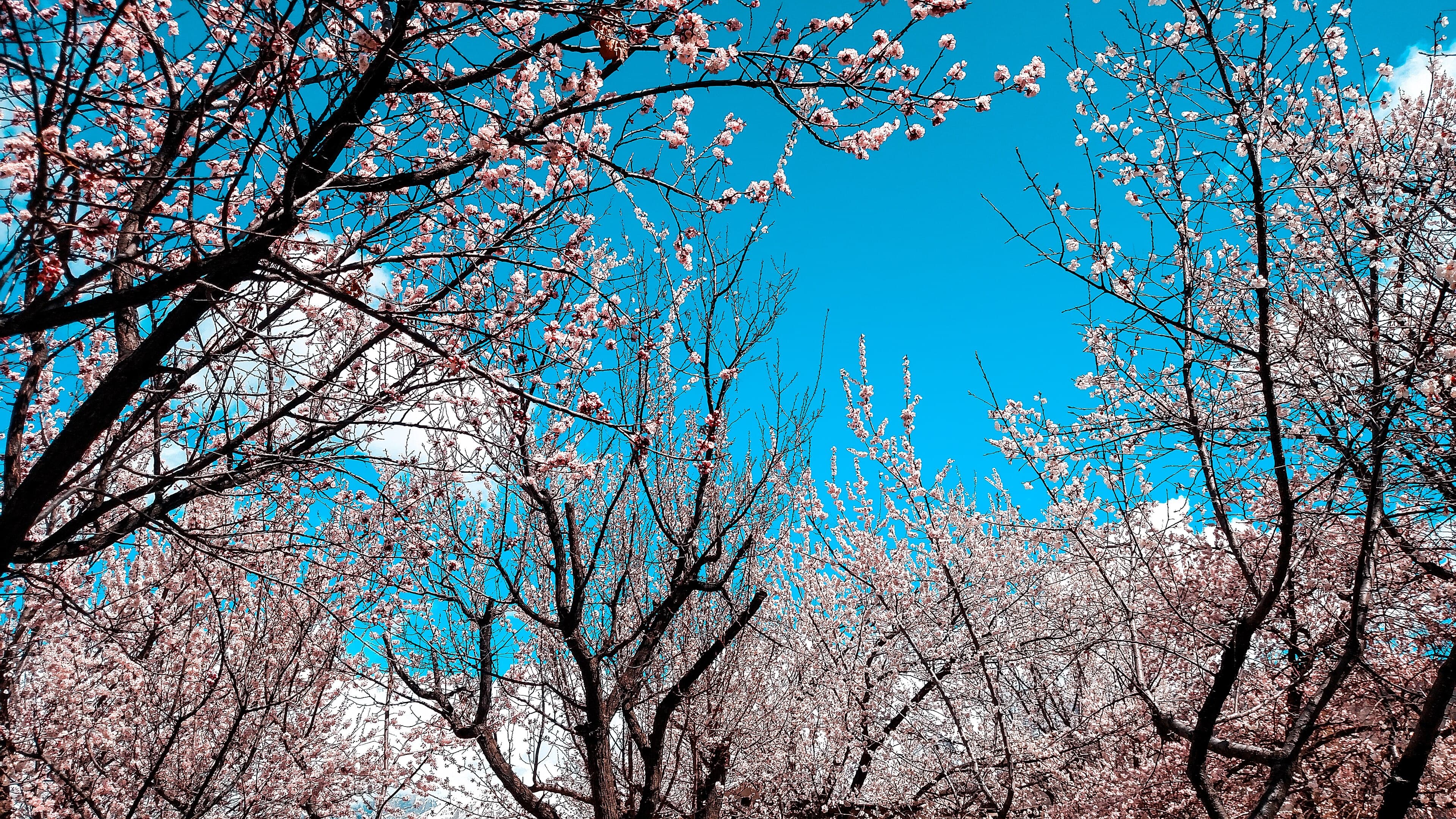
A short walk down to the surface of the Hopper Glacier from the village above Nagar, on the same approach used for Rush Lake.
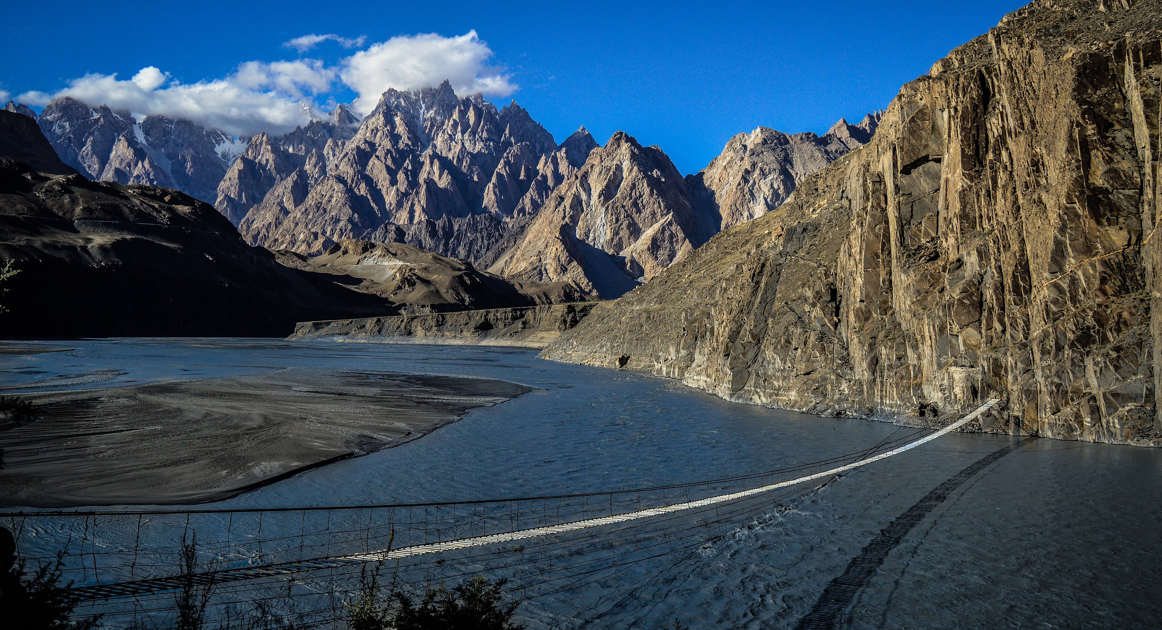
A short riverside walk to the well-known suspension bridge over the Hunza River at Hussaini.
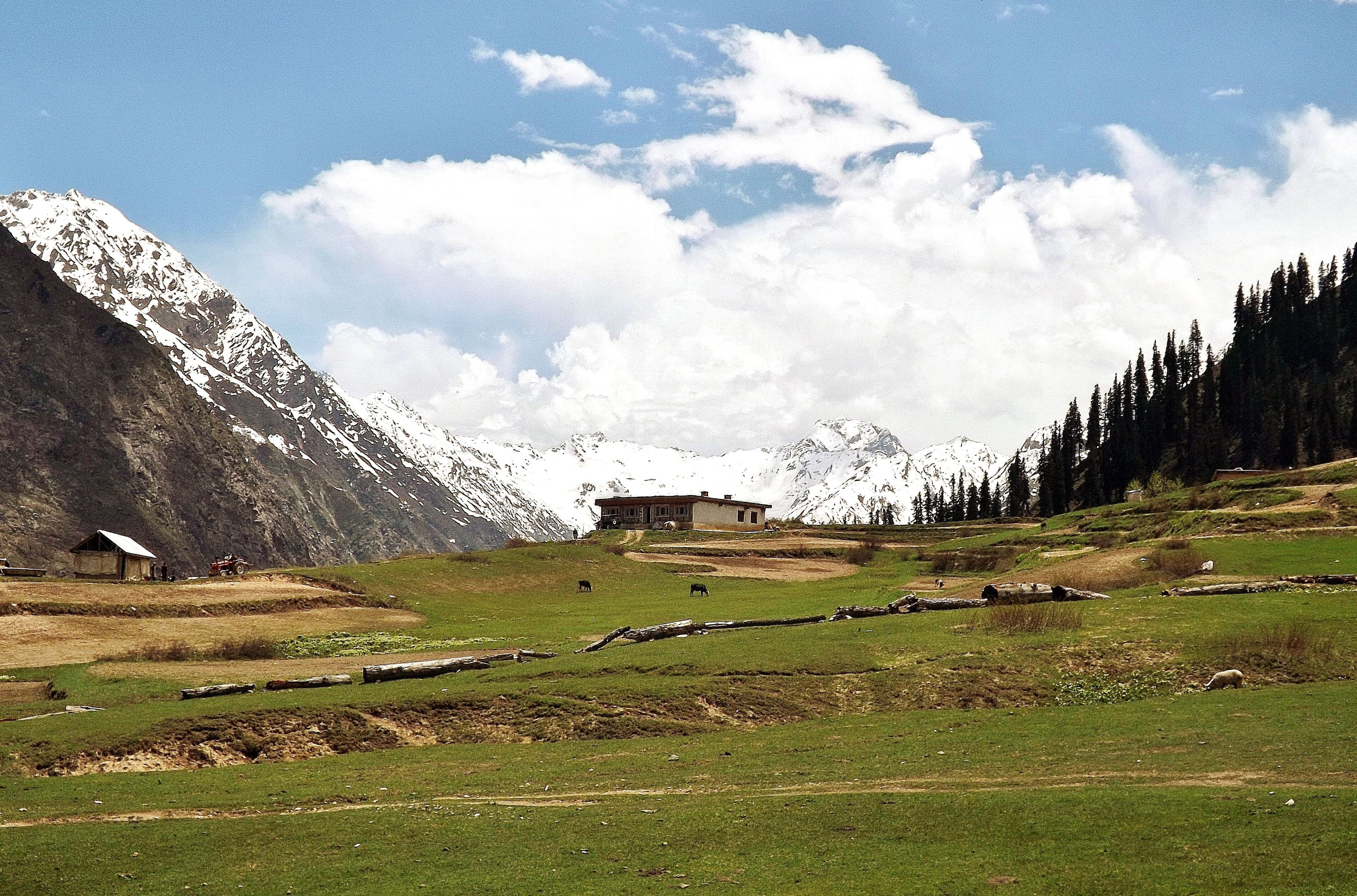
A short climb to the pine-fringed meadow above Battakundi in the Kaghan Valley.
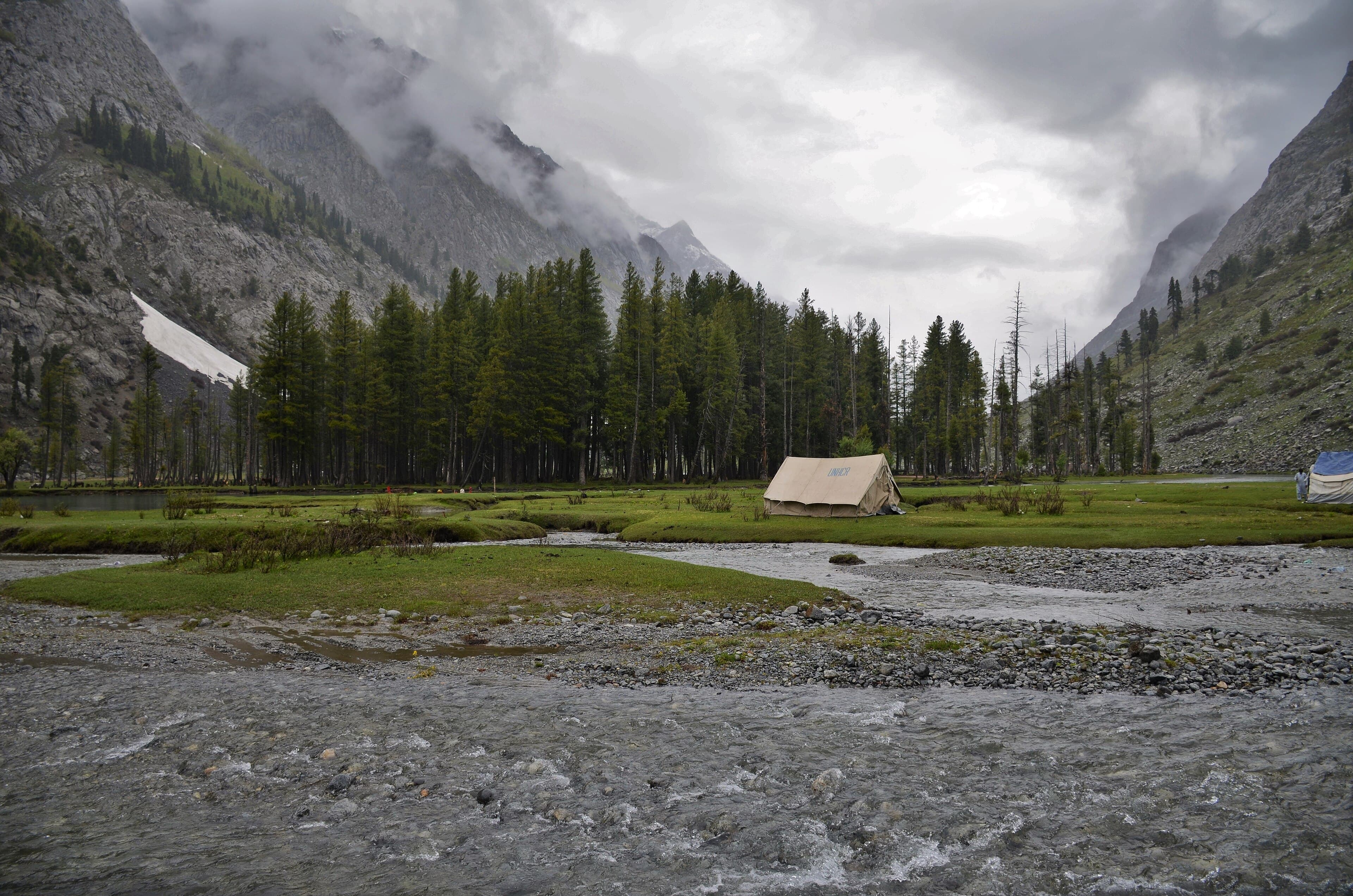
An easy valley-floor walk beside the lake at the head of the Ushu Valley above Kalam.
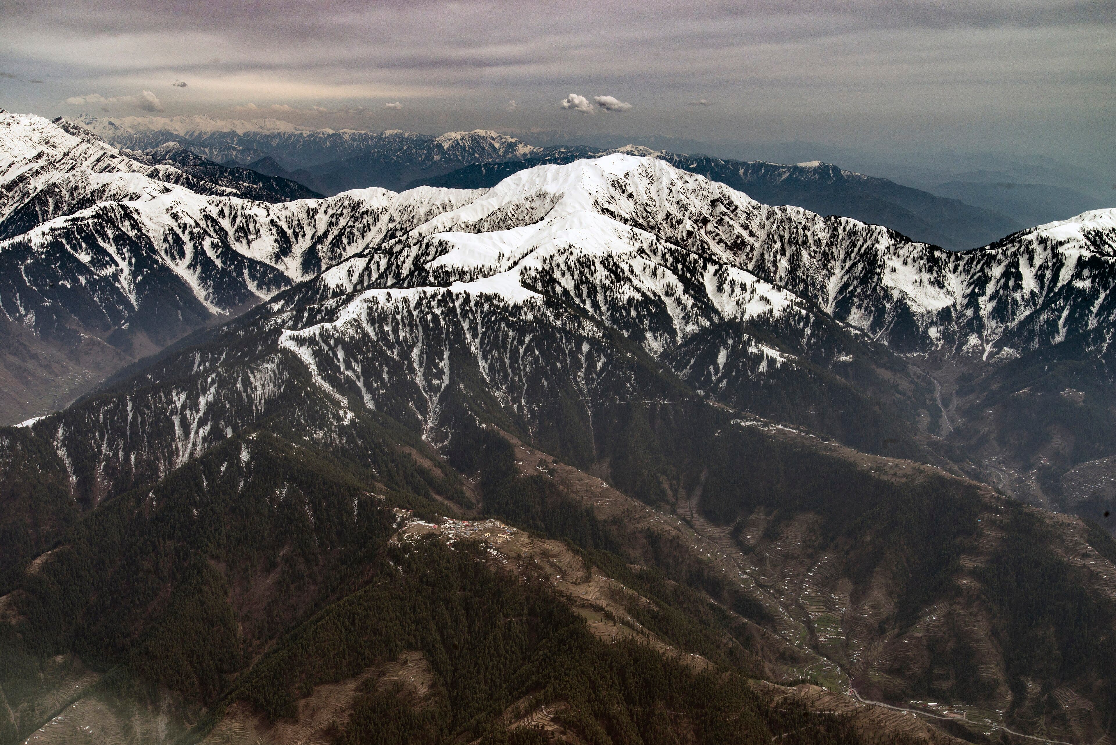
A ridge climb from Shogran and Siri Paye to the summit of Makra, above the Kaghan and Kashmir divide.
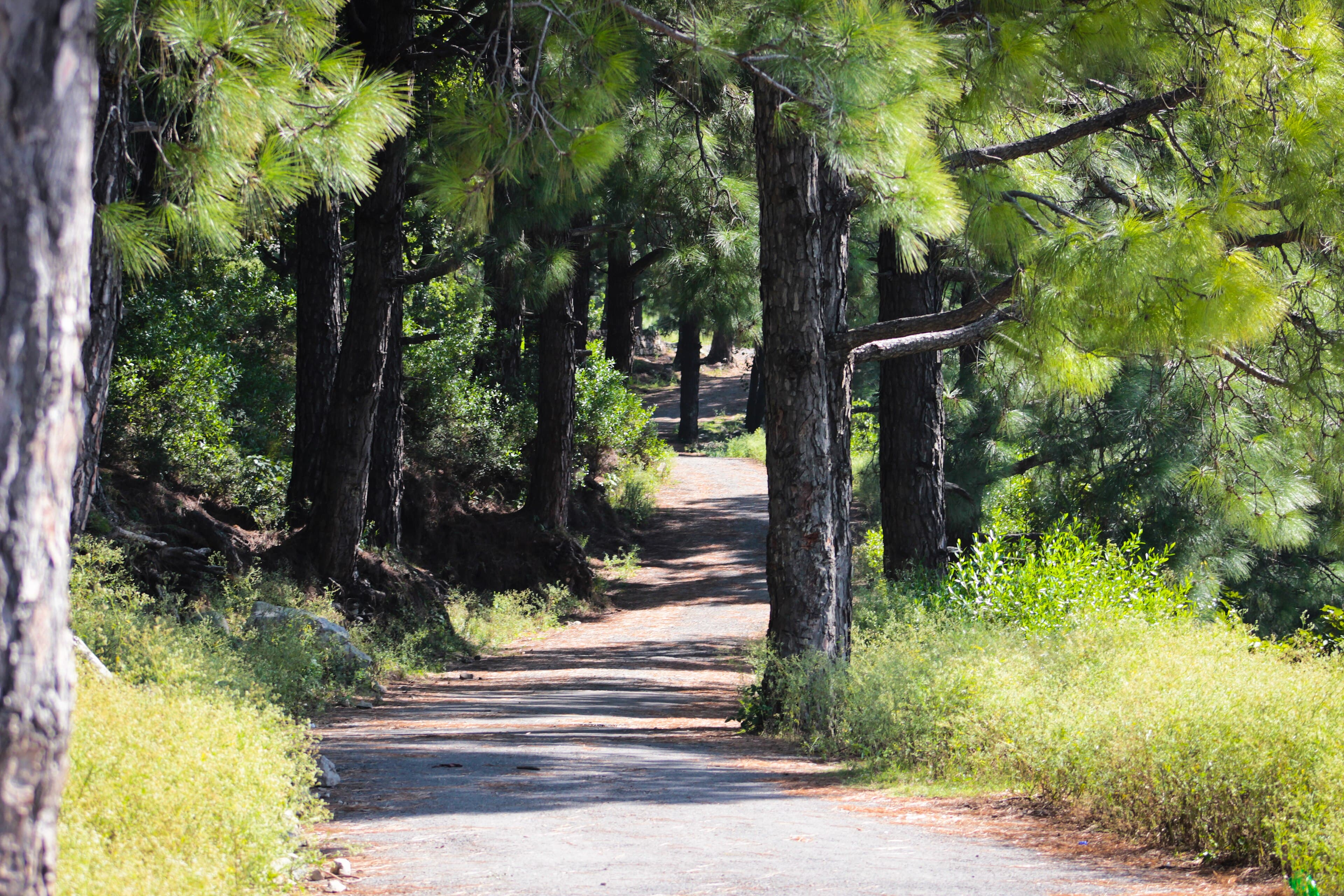
A quieter Margalla Hills route through denser forest, longer and less trafficked than Trails 3 and 5.
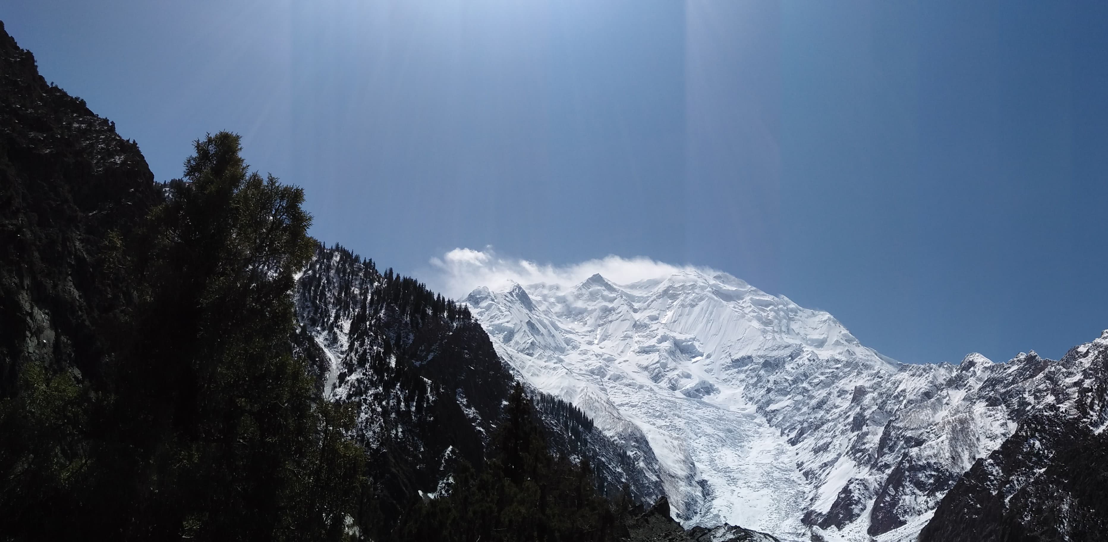
The lower half of the Rakaposhi base camp route, as far as the glacier viewpoint above Hapakun.
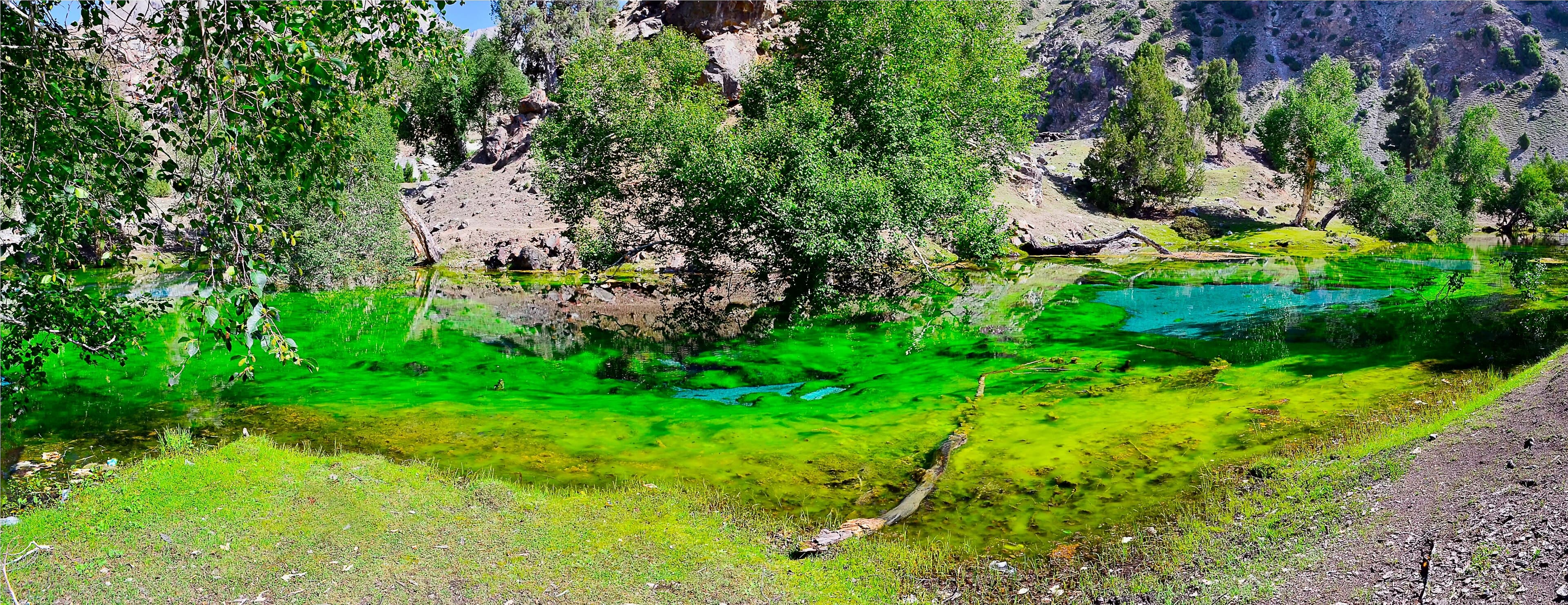
A walk between the cluster of small alpine lakes in the upper Naltar Valley, above the ski slope.
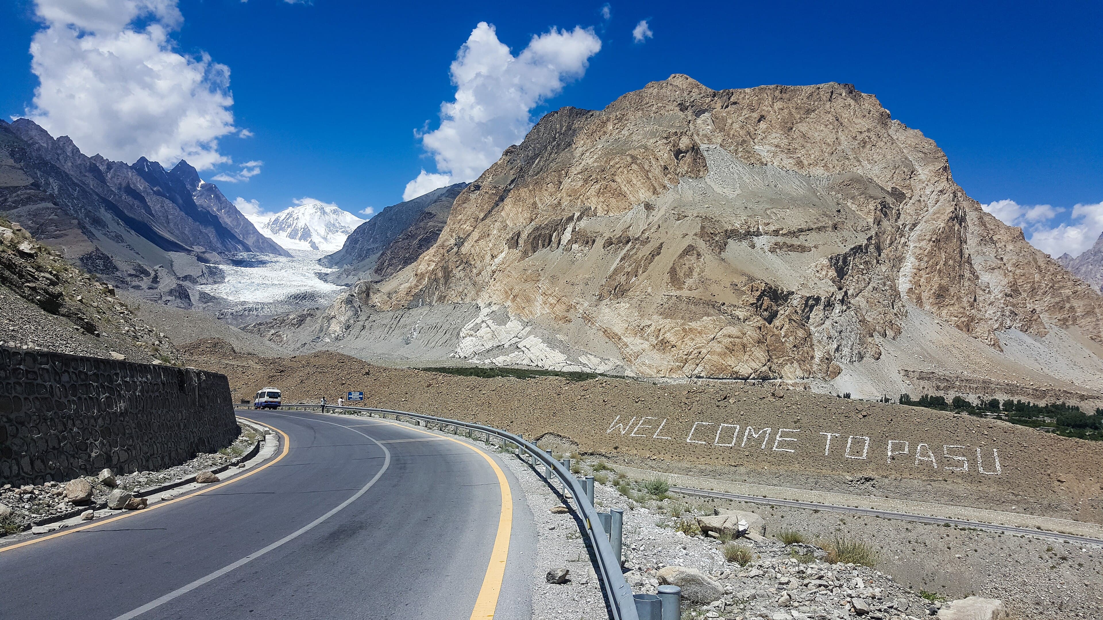
A short approach from the Karakoram Highway to the snout of the Passu Glacier beneath the Passu Cones.
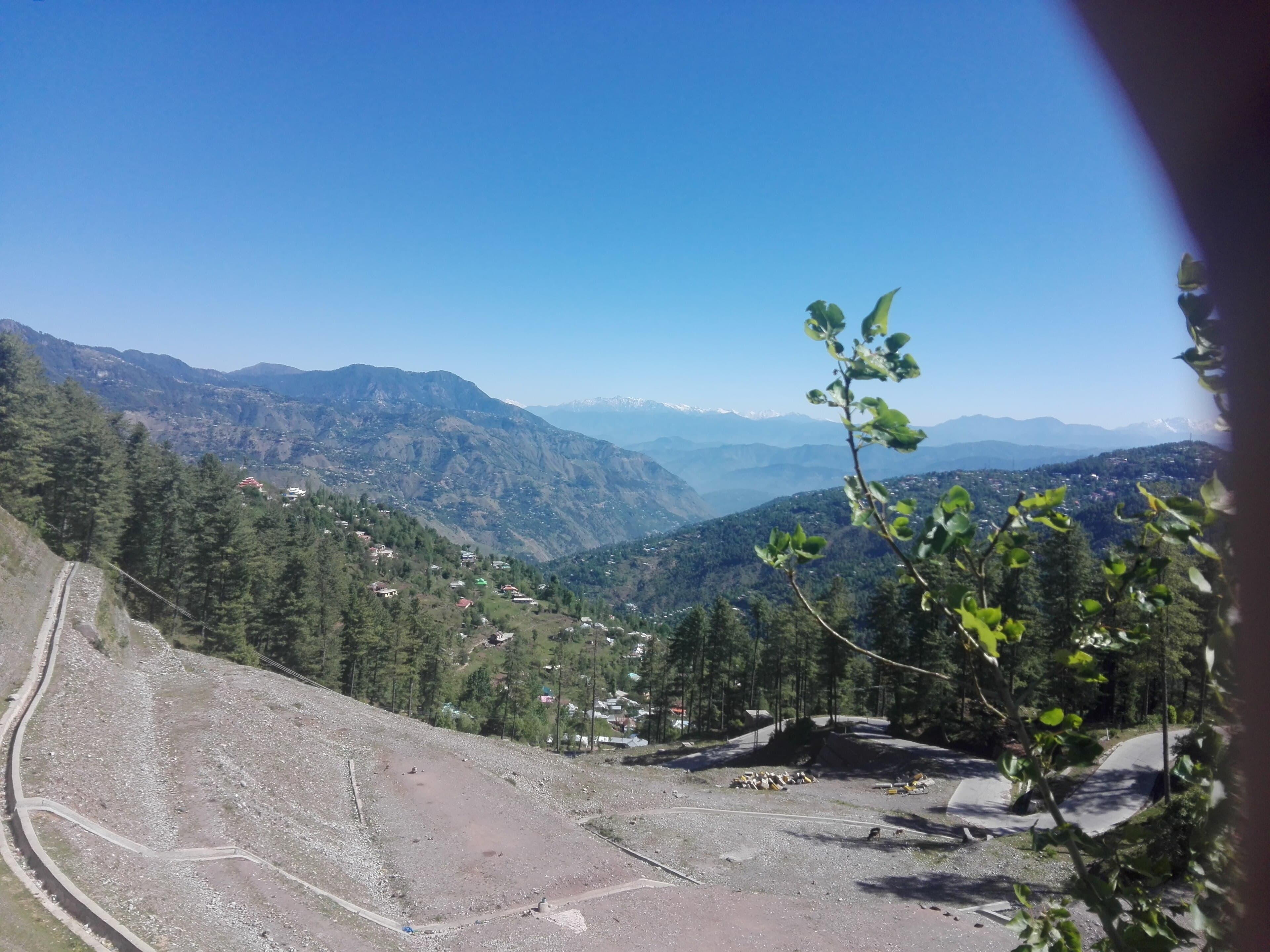
A ridge walk to the shrine and viewpoint above Muzaffarabad, looking down the Jhelum and Neelum valleys.
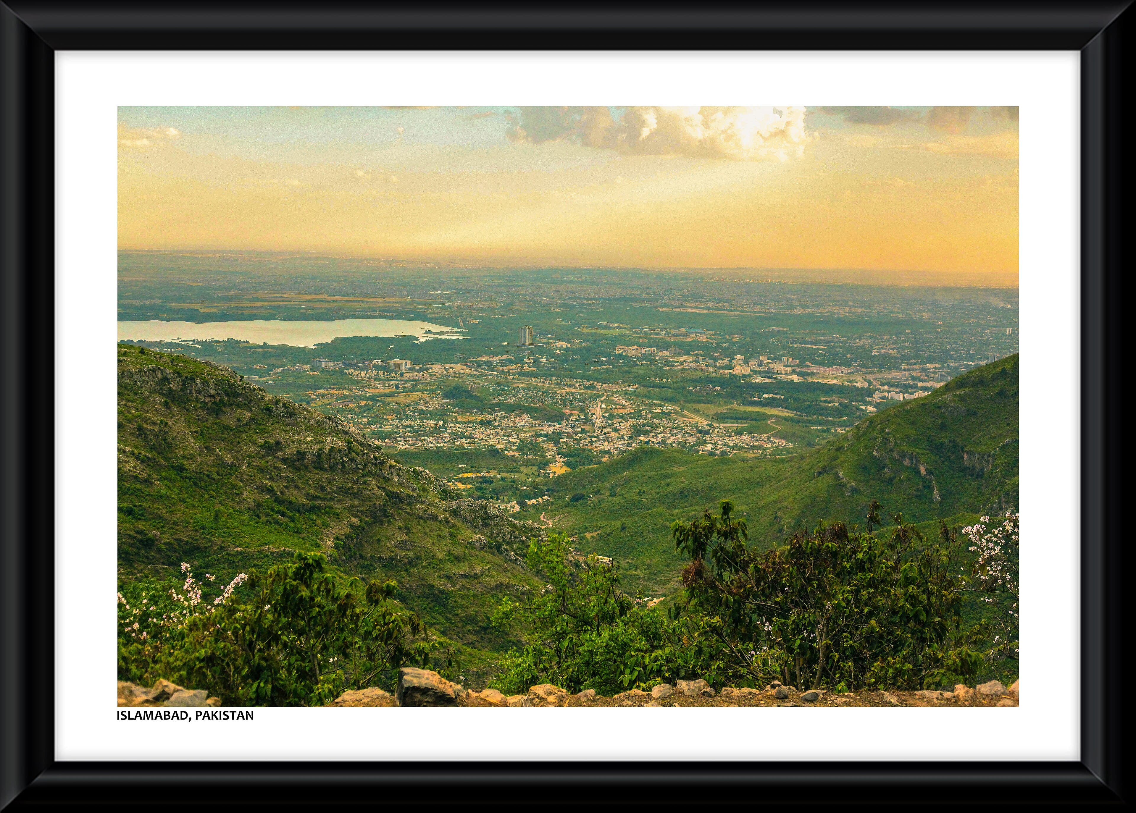
An easy ridge-top walk along the Margalla crest at Pir Sohawa, with views over Islamabad.
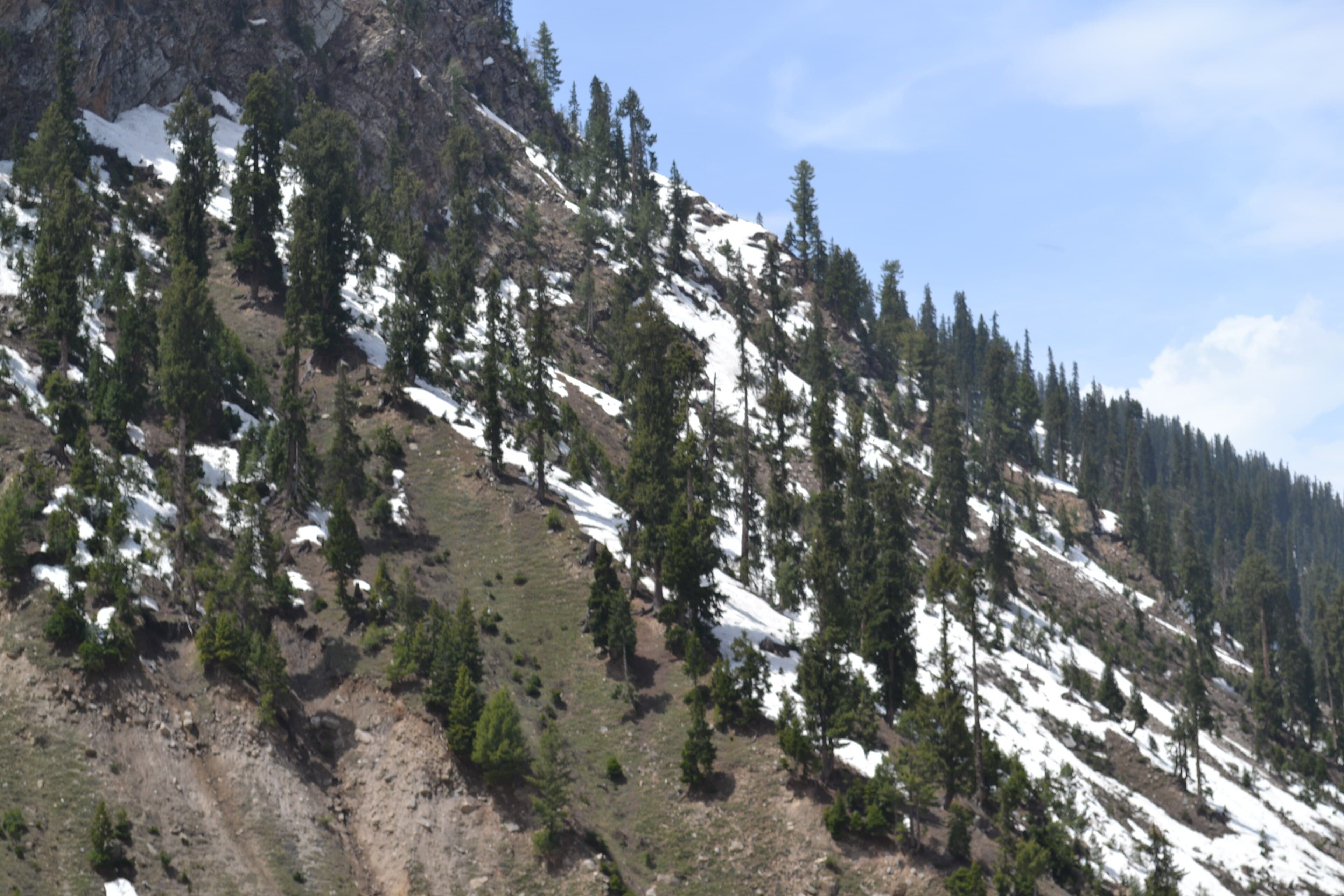
The walk up from Naran to Lake Saiful Muluk, and the shoreline circuit once you reach it.
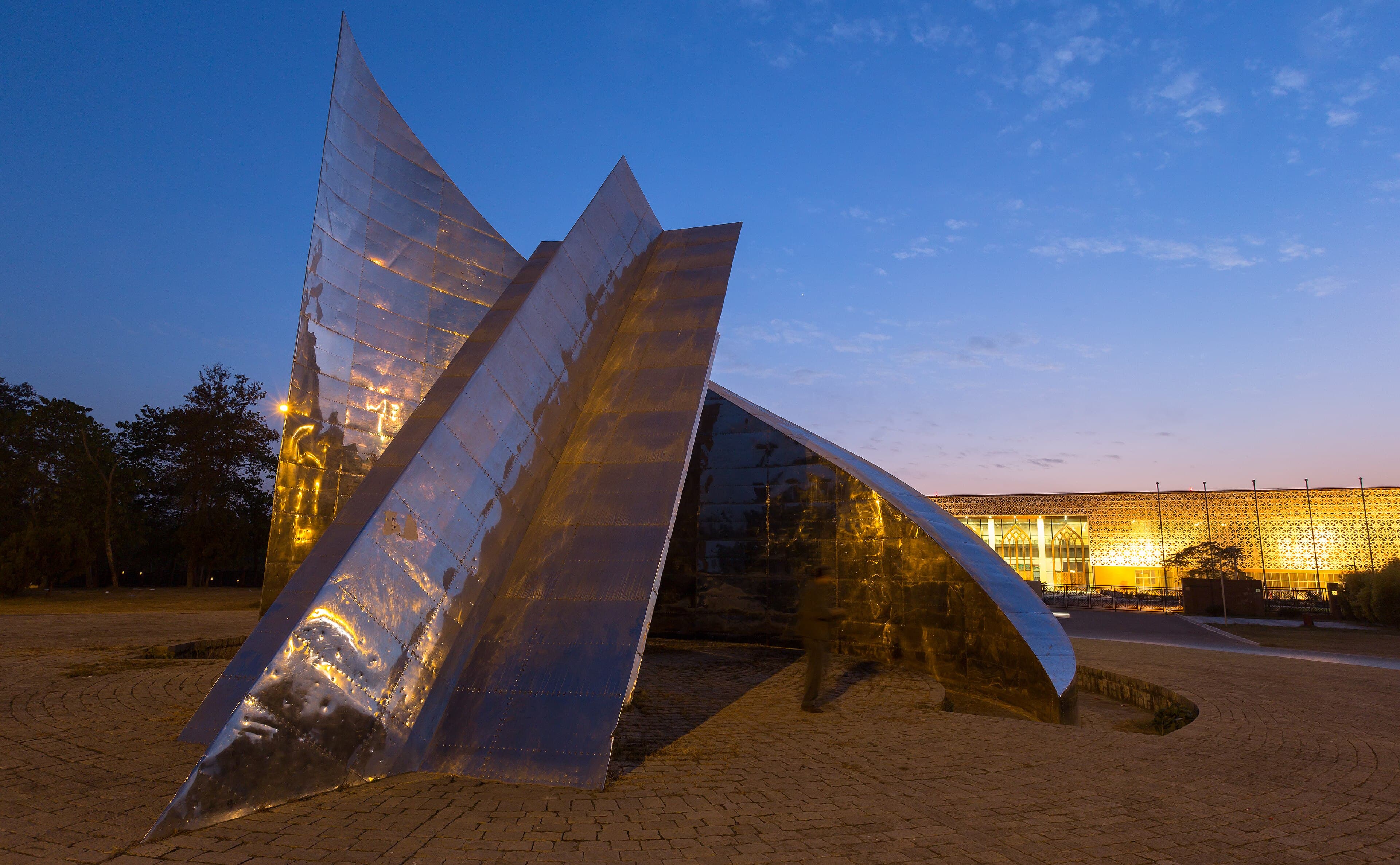
A flat, shaded circuit through the Shakarparian parkland near the Pakistan Monument.
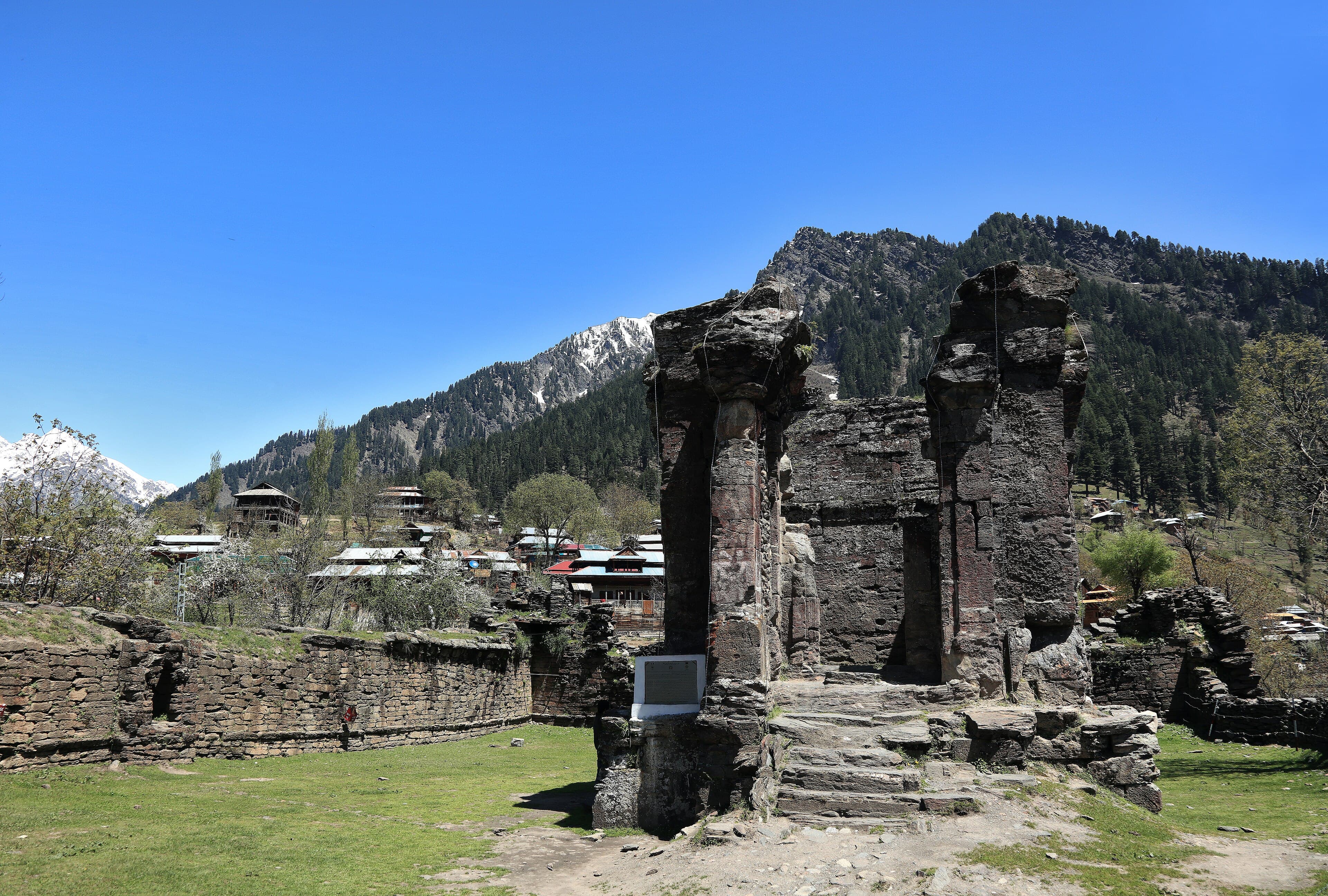
A short walk around the ruins of Sharda Peeth, an ancient temple and centre of learning above the Neelum River.
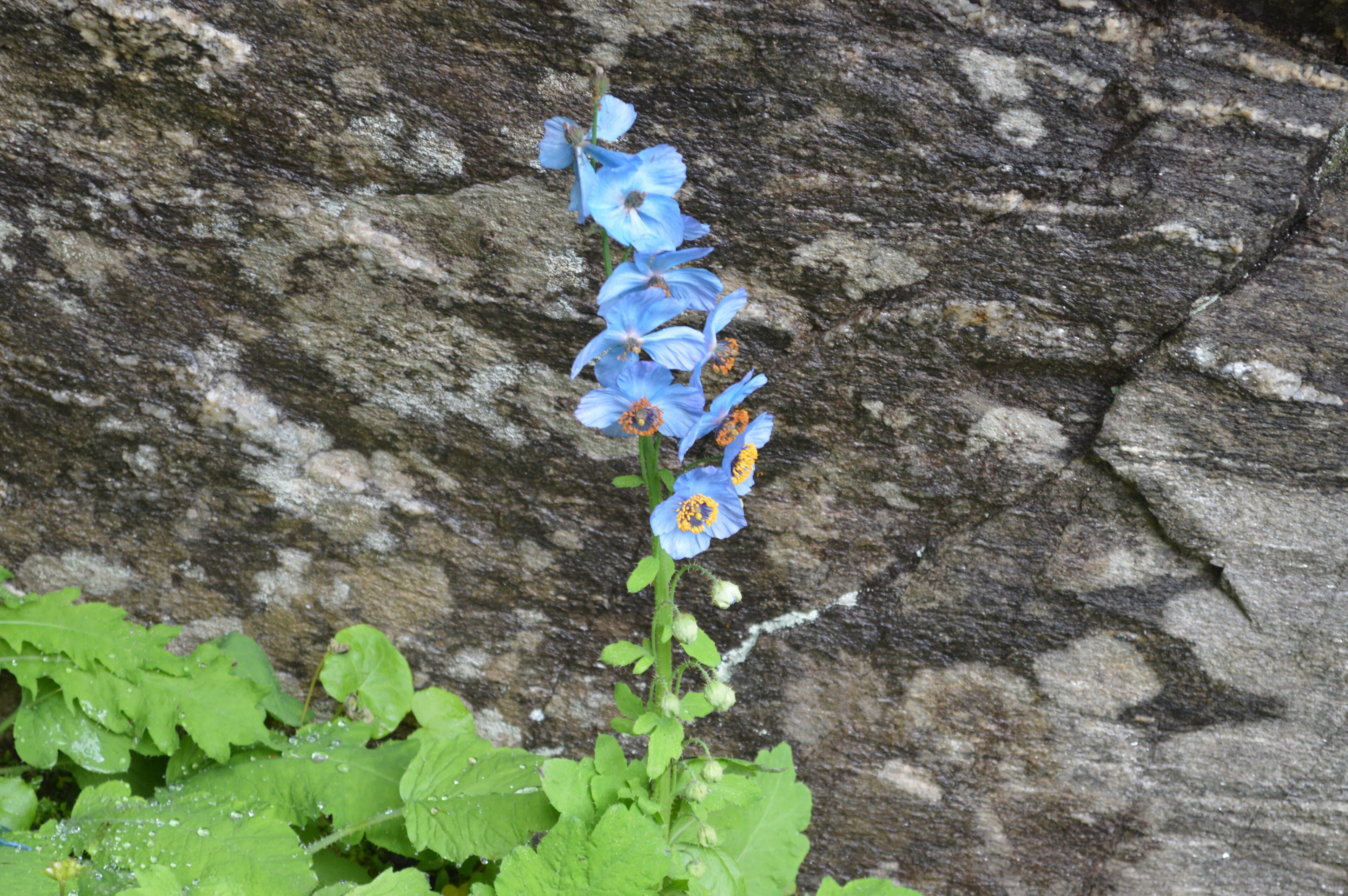
A walk into the Shounter Valley from Kel, the approach used for Chitta Katha and the Shounter Pass.
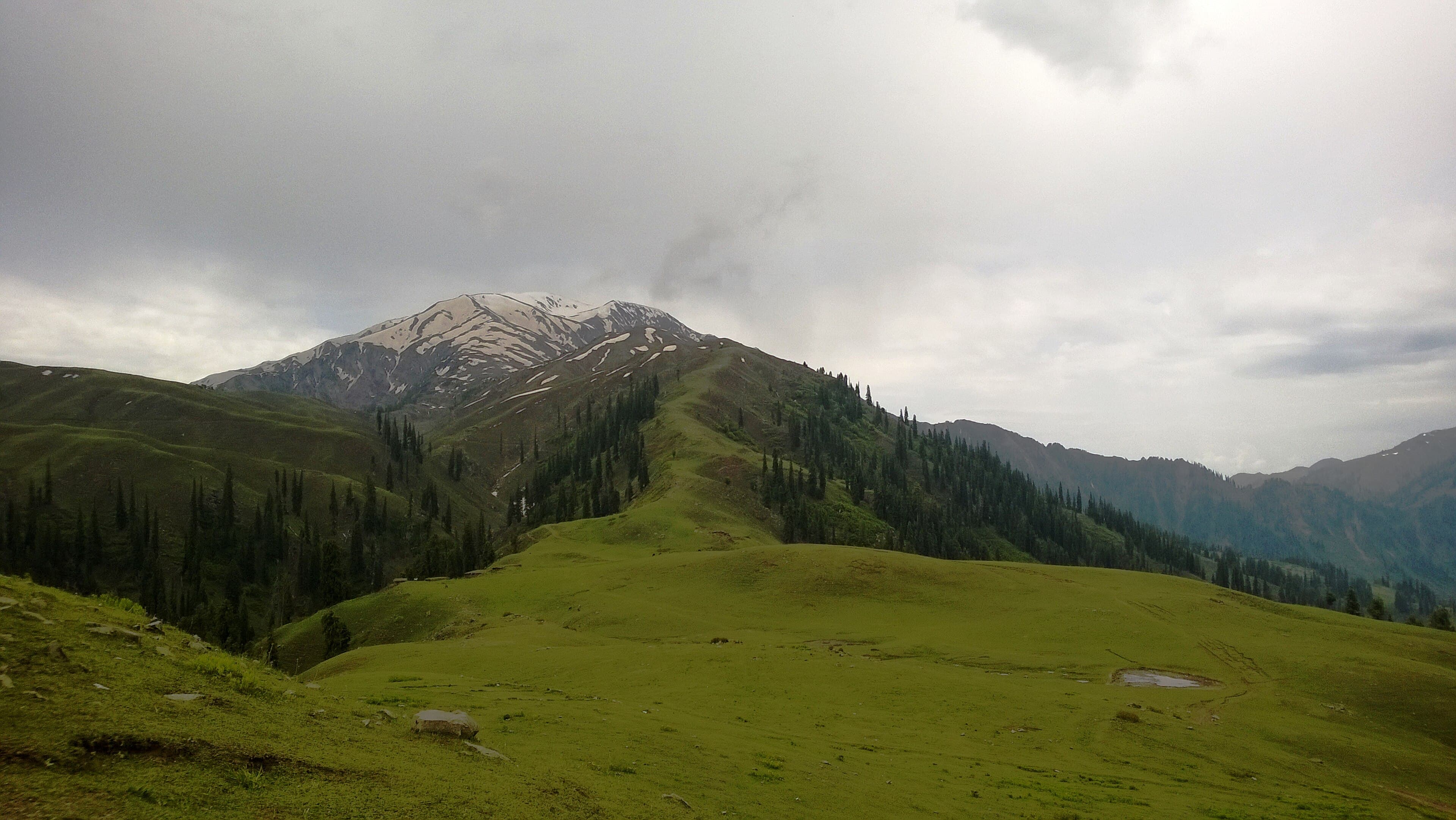
The walk from Shogran up to the Siri and Paye meadows, with Makra Peak on the skyline.
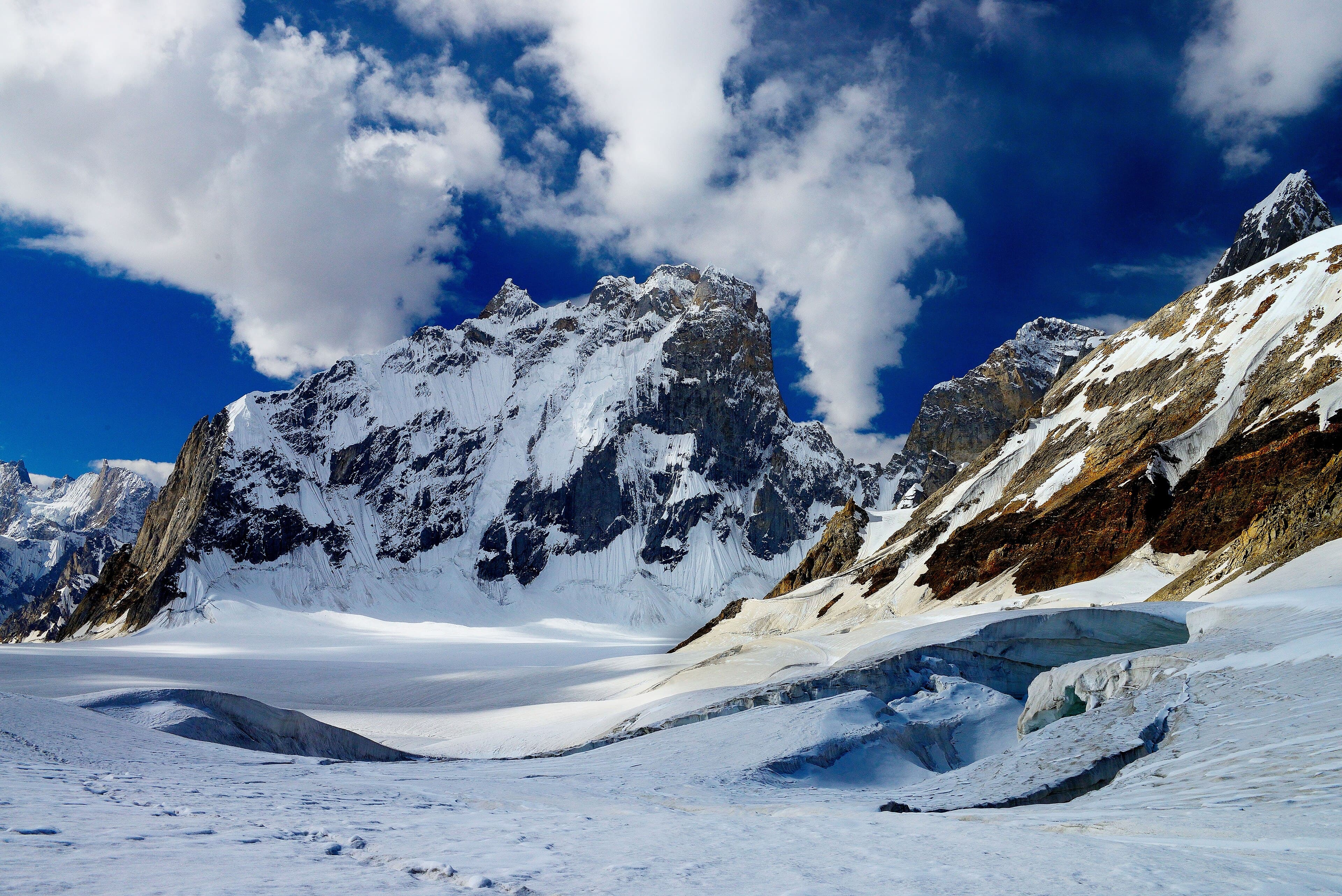
A long glacier traverse over the Hispar La between the Biafo and Hispar glacier systems, in one of the largest ice basins outside the poles.
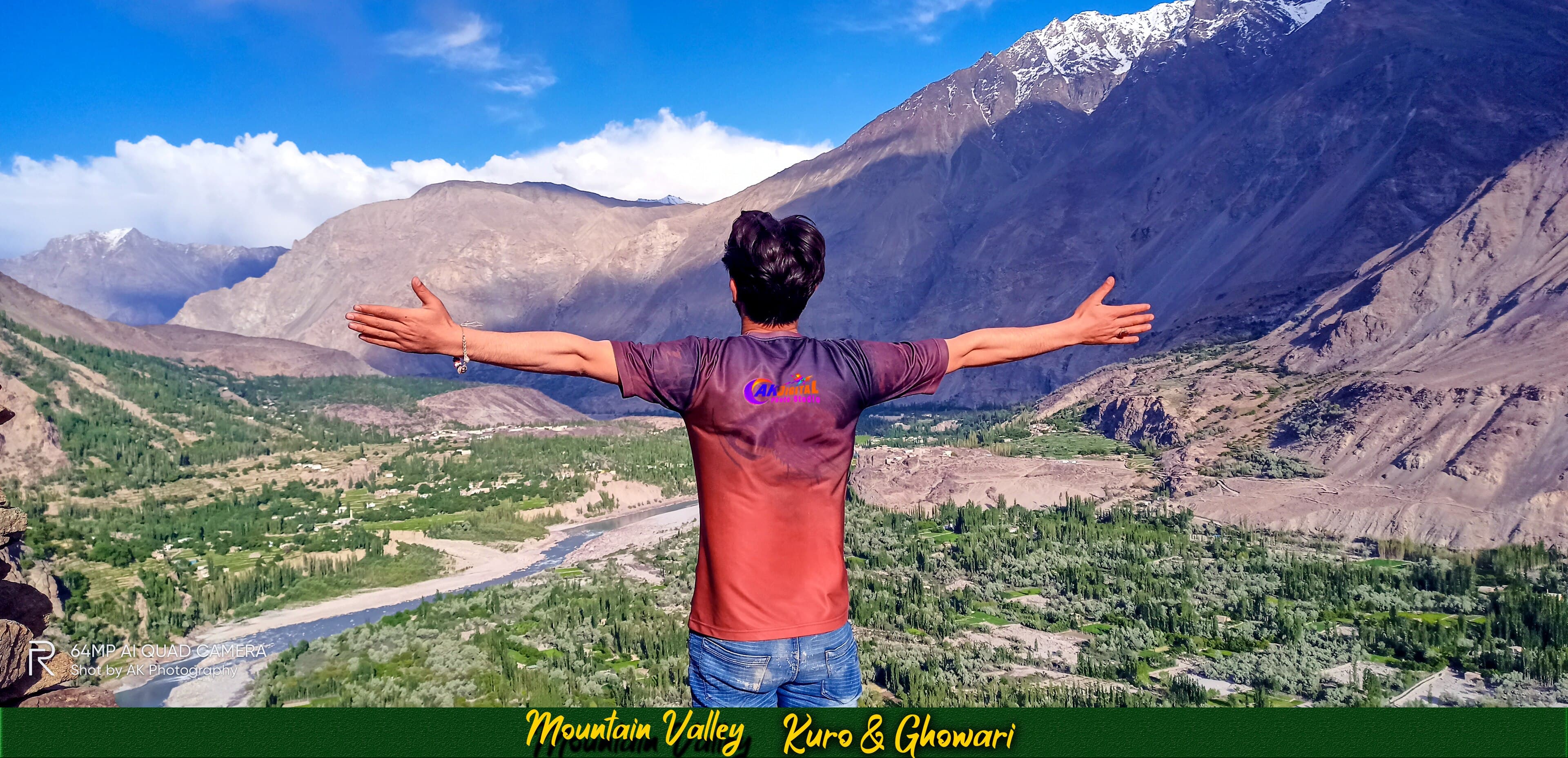
A pass crossing between the Shigar and Khaplu valleys, on an old trading route through Baltistan.
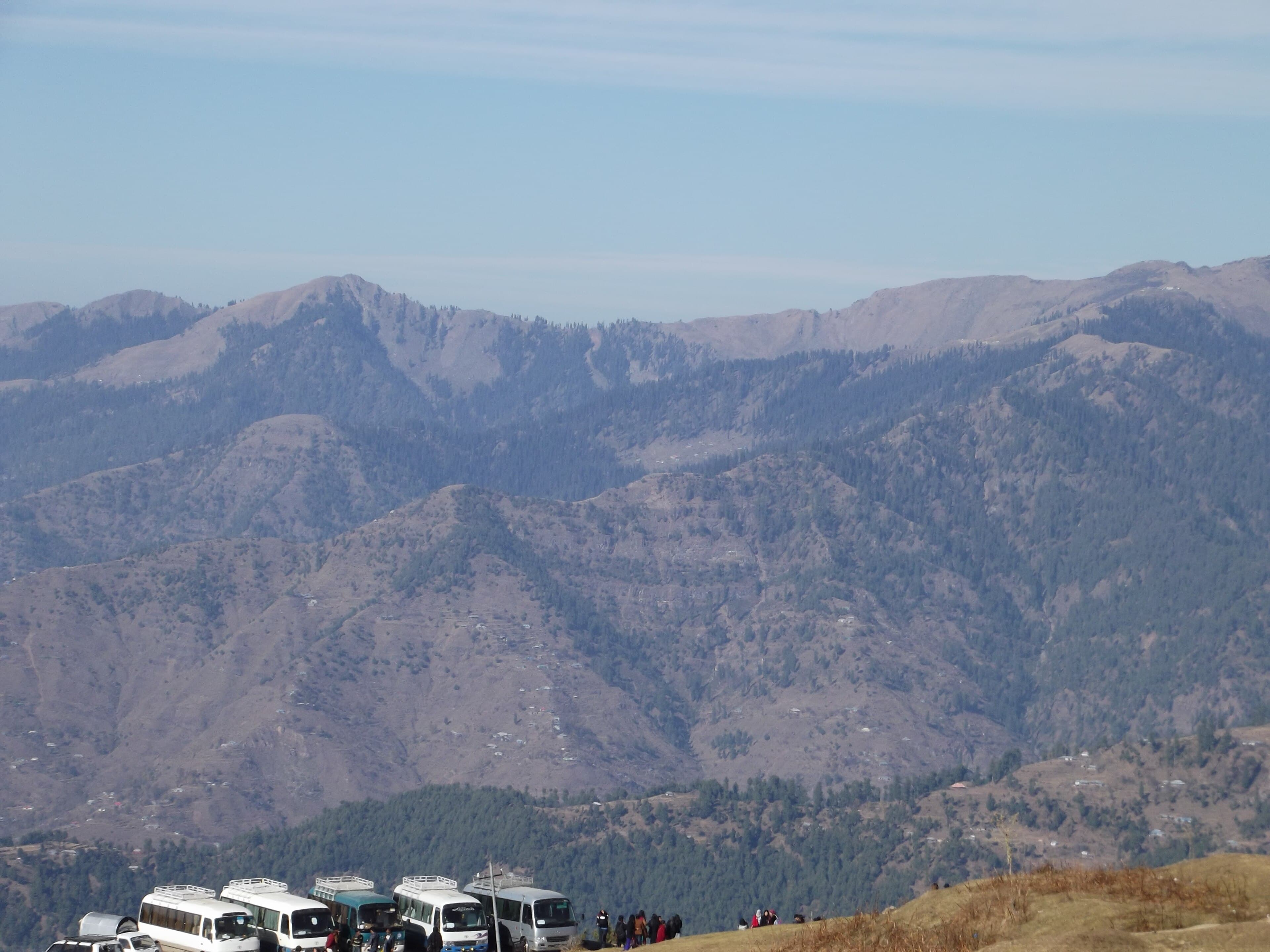
A short ridge climb above Rawalakot to a viewpoint over the Poonch hills.